Greenland #1: around Kangerlussuaq
Concept
Until recently, I didn't realize you could go and hike in Greenland, just like that. Polar bears and expensive permits spring to mind, but the reality is that no-one is stopping you from hopping on a direct four-hour flight from Copenhagen and then heading off into the wild. Permits and costly insurance are (officially) required for crossing the ice shield, but coastal hikes are perfectly hassle-free. Polar bears are apparently uncommon along the south-west coast in summer, although don't sue me if you encounter one. Thus, if you can enter the EU, Greenland is basically wide open.
Why don't we see crowds of backpackers in Greenland, then? Well, I suspect many people just sort of don't know you can. A cursory inspection of the only official long-distance hike known as the Arctic Trail (https://arcticcircletrail.gl/) suggests a fairly boring flat tundra, but in reality there are very respectable mountains, and the landscape is anything but boring. Indeed, Greenland is pretty tough and has zero travel infrastructure. Especially if going off-trail / alone, make sure you know what you are doing and are prepared to be fully self-sufficient (see the final section below for some technical info and tips).
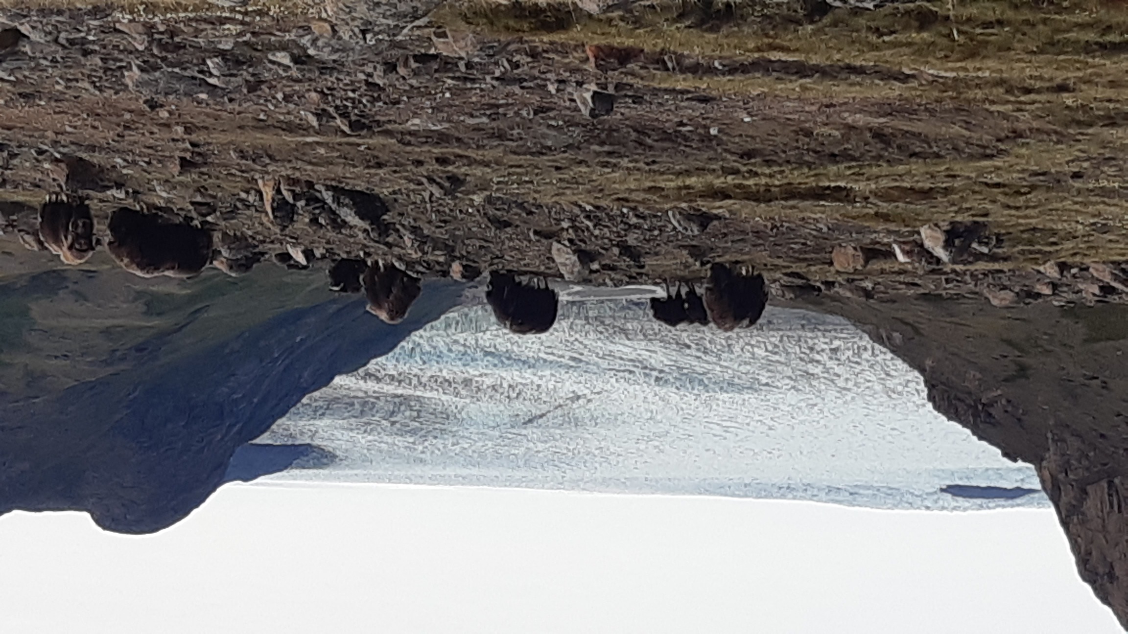
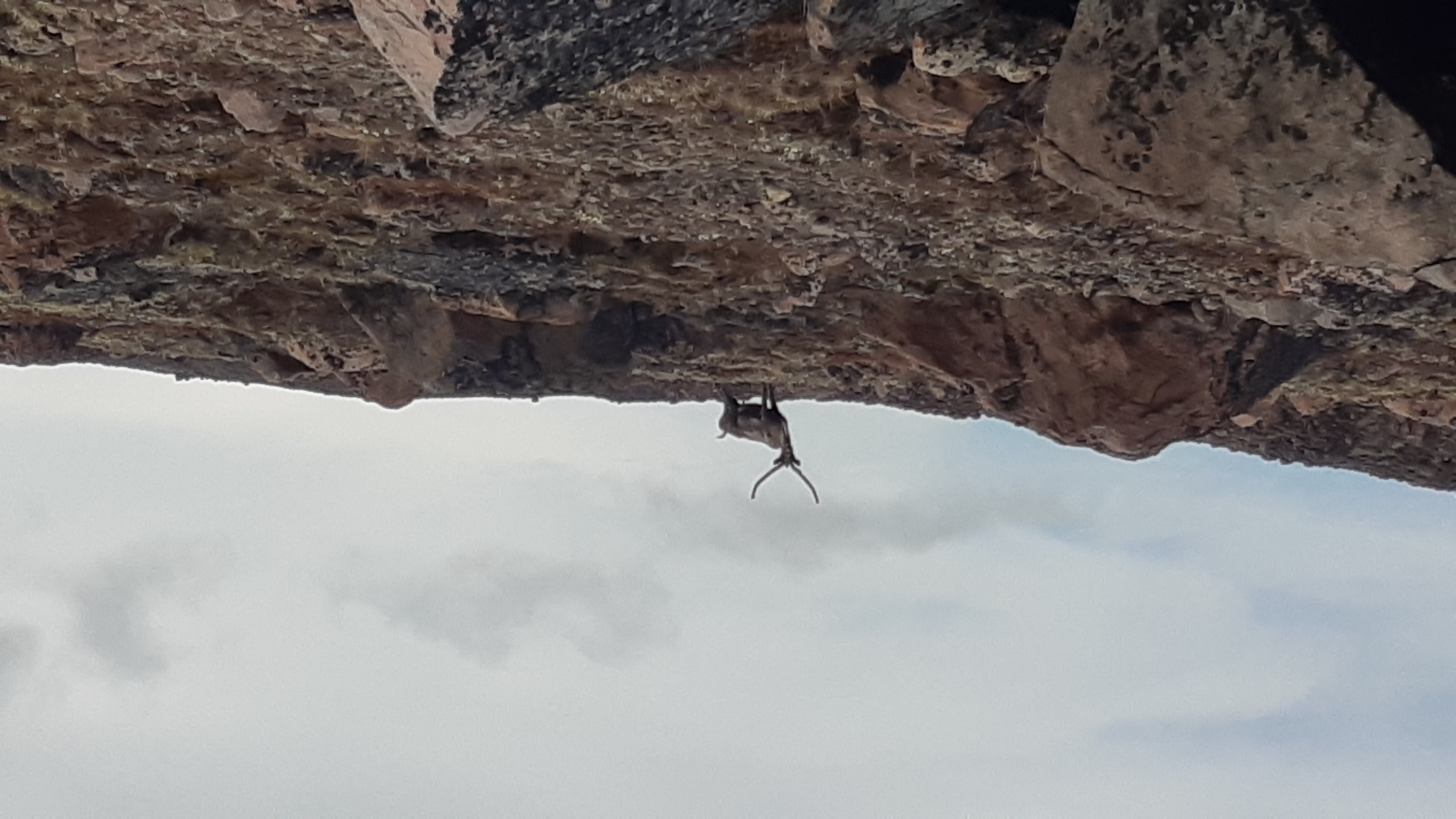
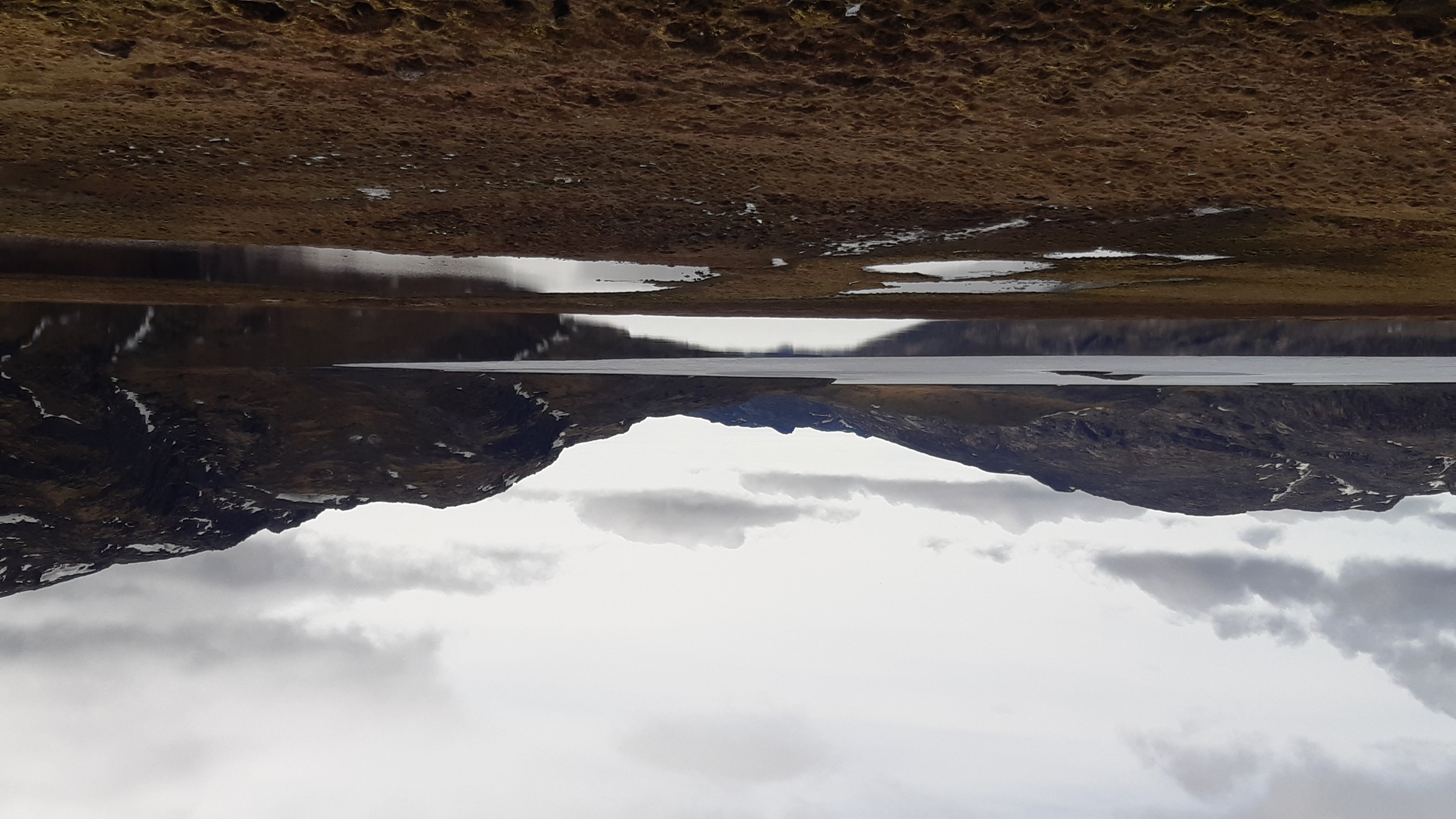
This trip was so unlike my typical expeditions that I decided to deviate from my usual format in this report. At some point on the trail I realized that the area I was hiking through was the first truly pristine place I had ever visited, anywhere on the planet. For two weeks, I saw no people, houses, bridges, human-made trails, or any other signs of civilization apart from a single motor boat on the fjord. Wildlife was everywhere - wildlife that wasn't even used to seeing a human, that clearly didn't know what to make of me. Such experiences - such places - have become so vanishingly rare that I wouldn't like to write a sort of tourist brochure advertising this-and-that valley and this-and-that scenic spot. I'll share my general route, general impressions and photos, and some technical know-how, but I'll omit detailed day-by-day descriptions and let you daredevil adventures discover your own path to Greenland, if you will.
When
June 17 to July 2, 15 days of walking and packrafting.
Where
A 420-km loop around Kangerlussuaq on the south-west coast of Greenland. First I followed the fjord to the coast, then got stuck in deep snow and had to return inland, where I made a large loop, hiding from the cold coastal winds between one of the glaciers and the main ice shield. The approximate route is shown below (blue marks show where I used my packraft):
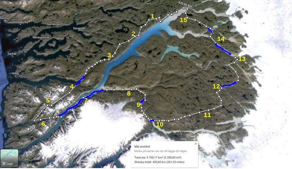 I would like to emphasize that, although my nominal speed was pretty good by my standards (about 28 km/day by google maps, and obviously much more on the ground), this is not easy terrain to travel through. I gave it my all and spent entire days on the trail, typically about 10 hours of active walking/paddling plus a couple of hours for various breaks, taking photos, inflating the packraft, etc. Thus, this route took me maybe 150 active hours to complete.
A video clip with impressions
Some photos
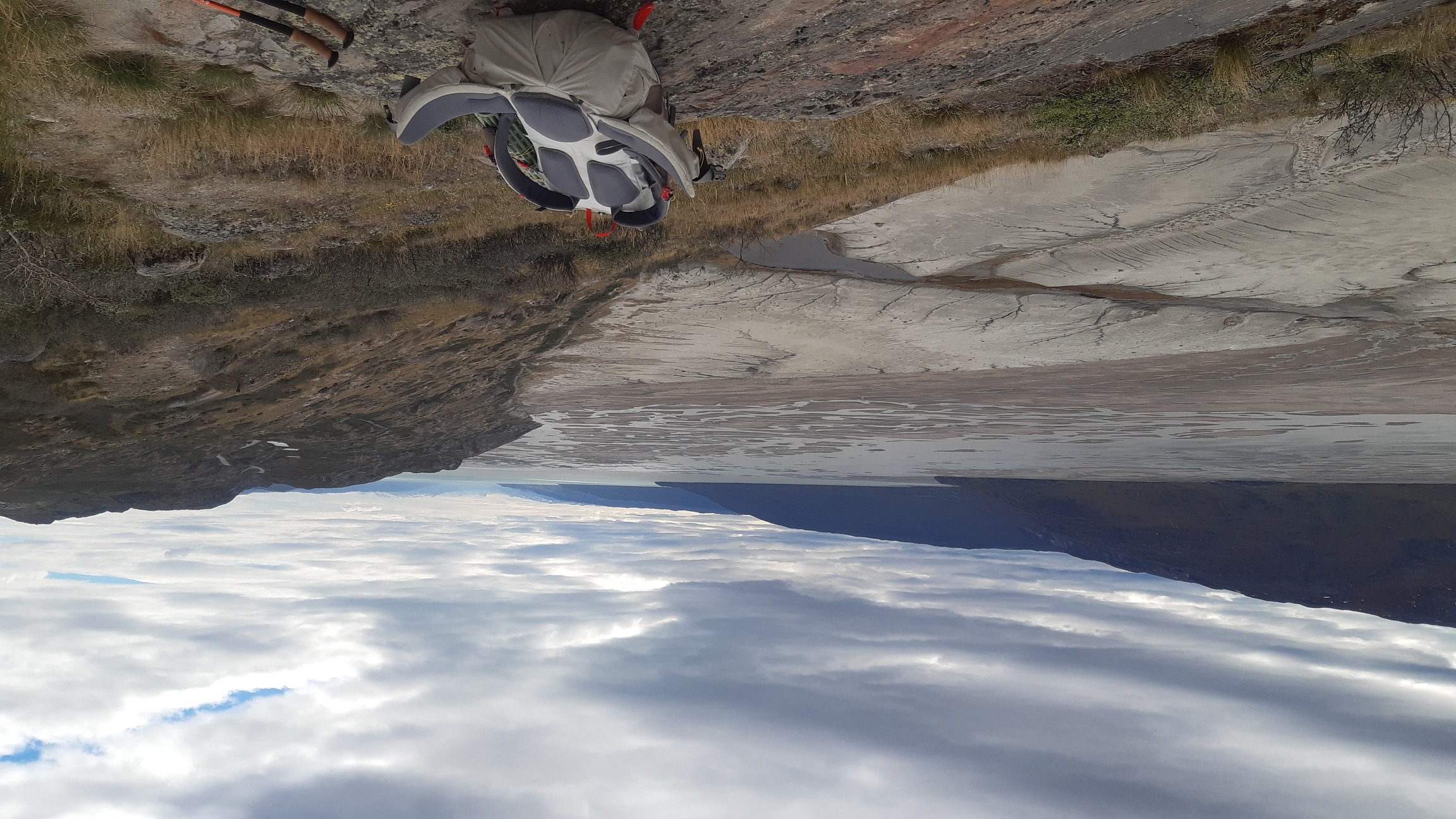
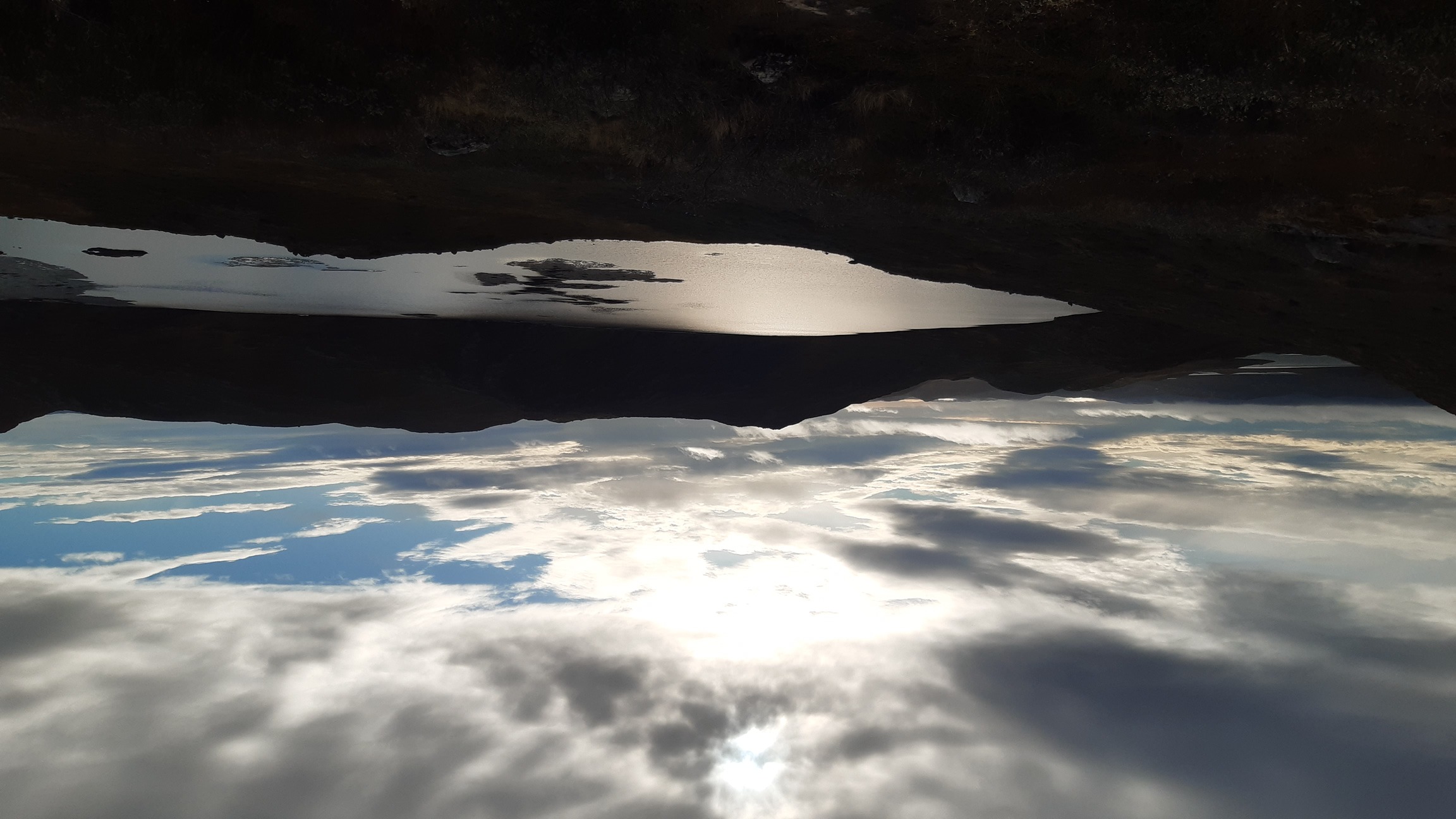
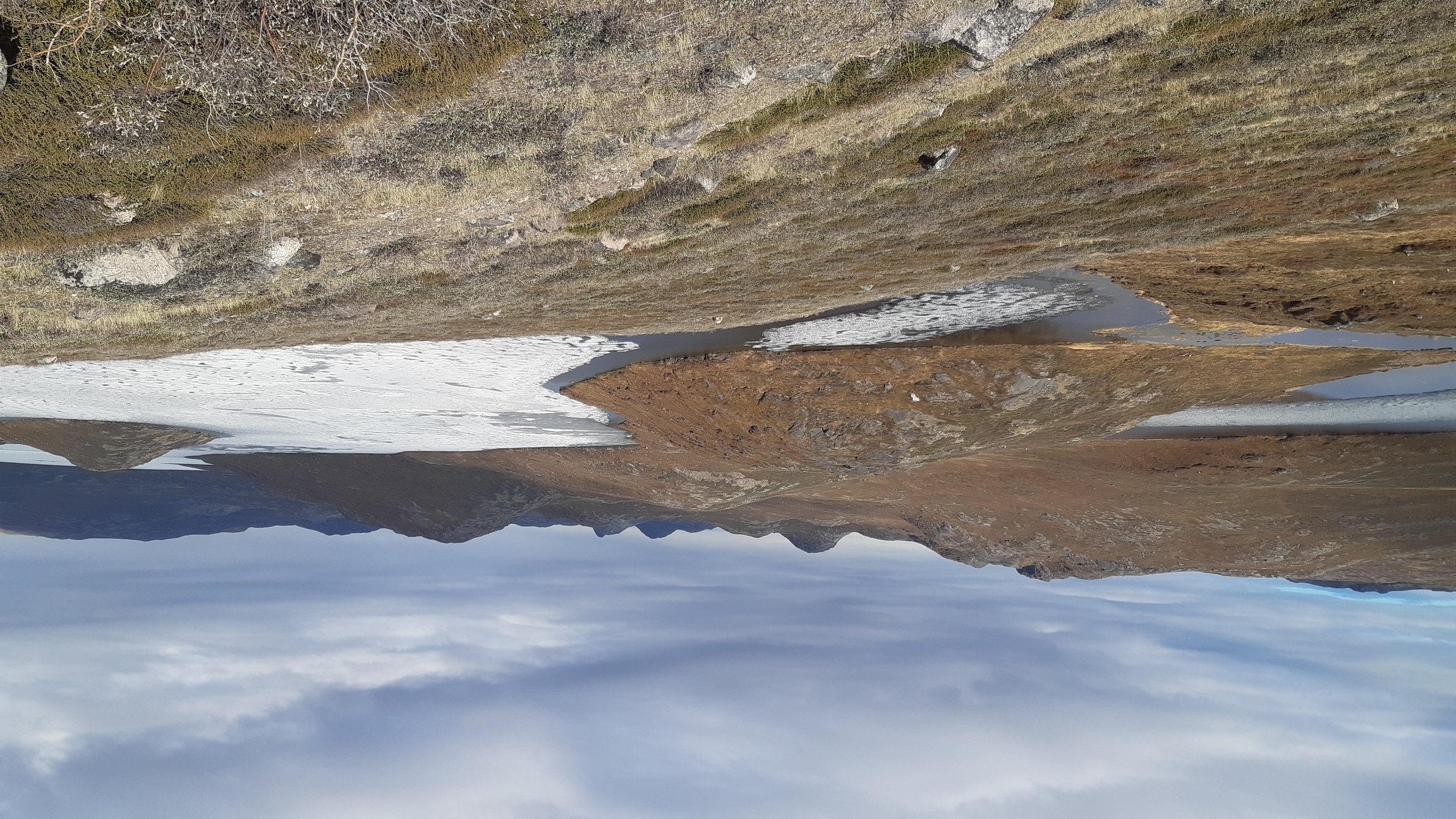
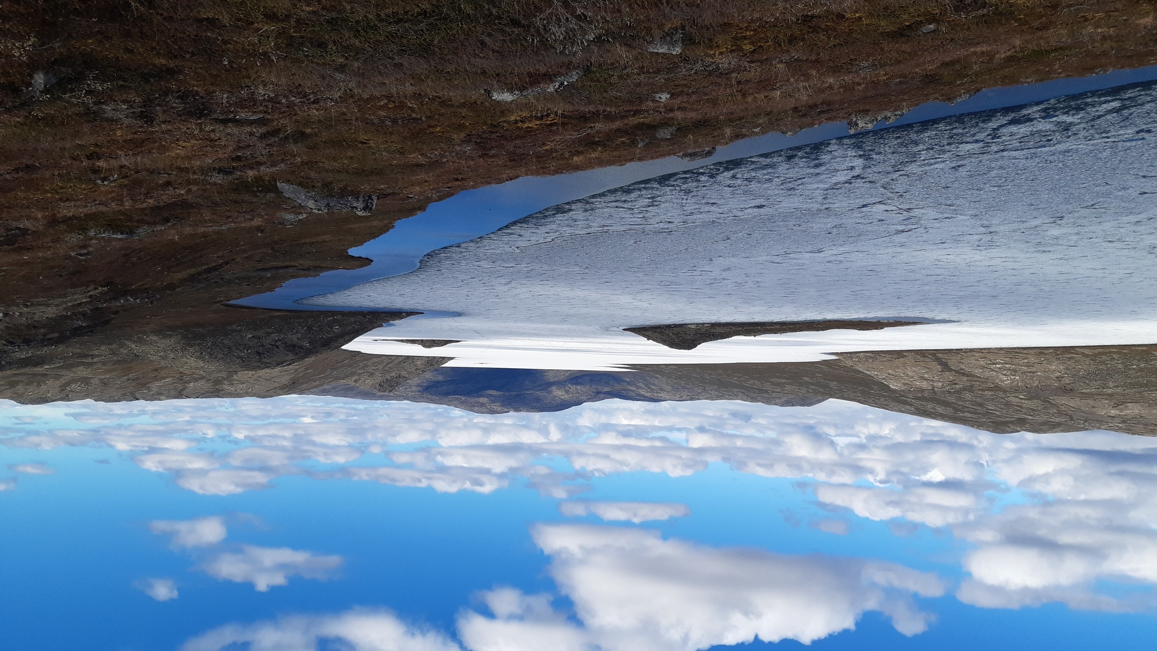
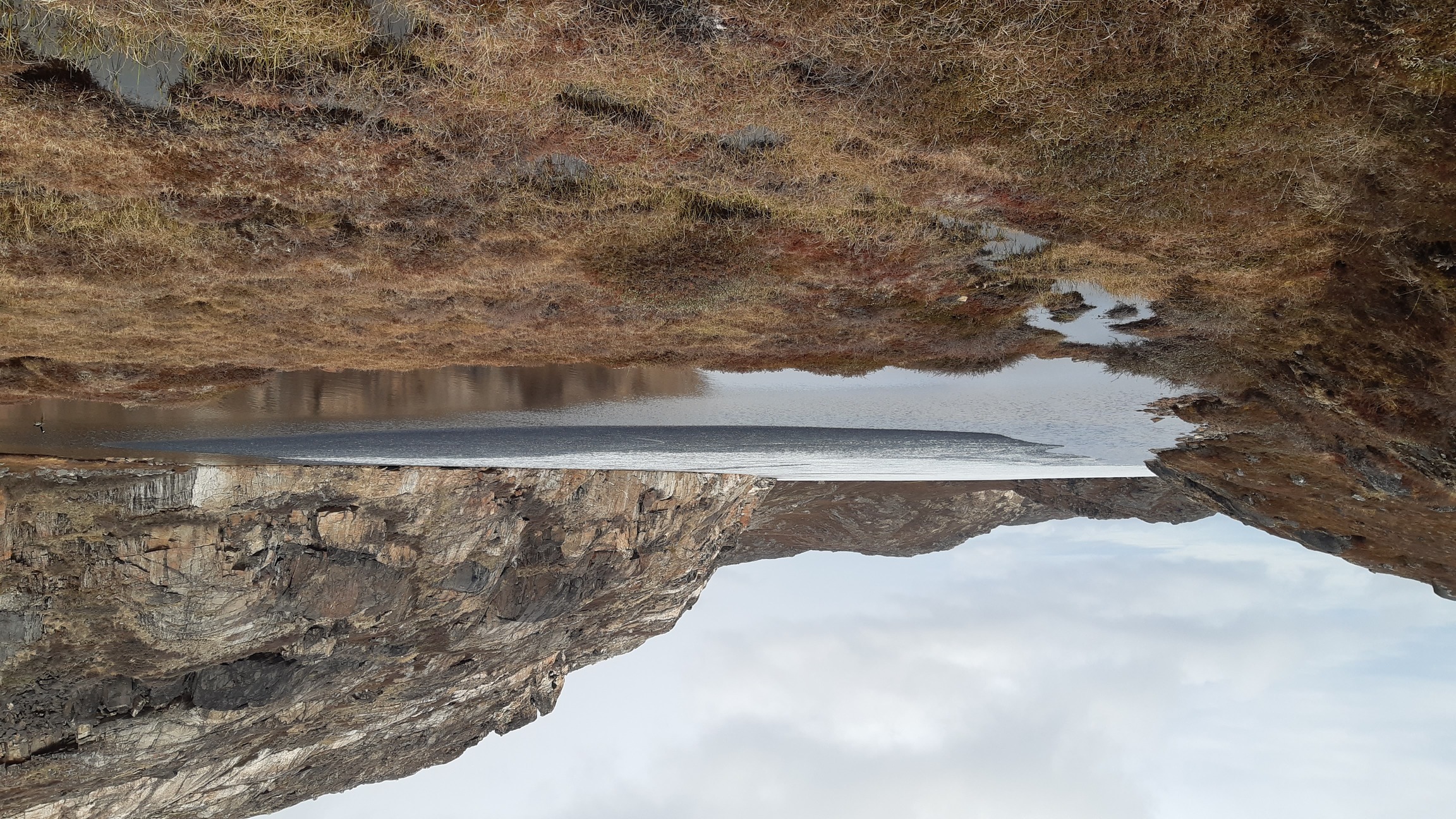
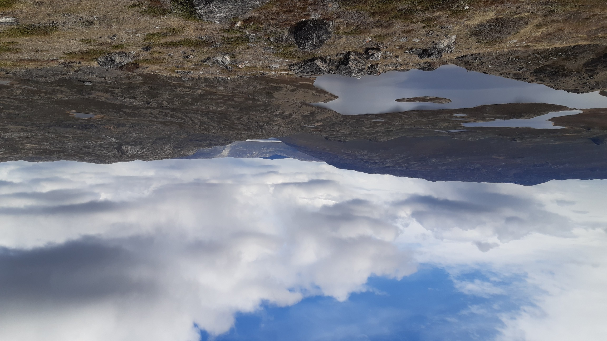
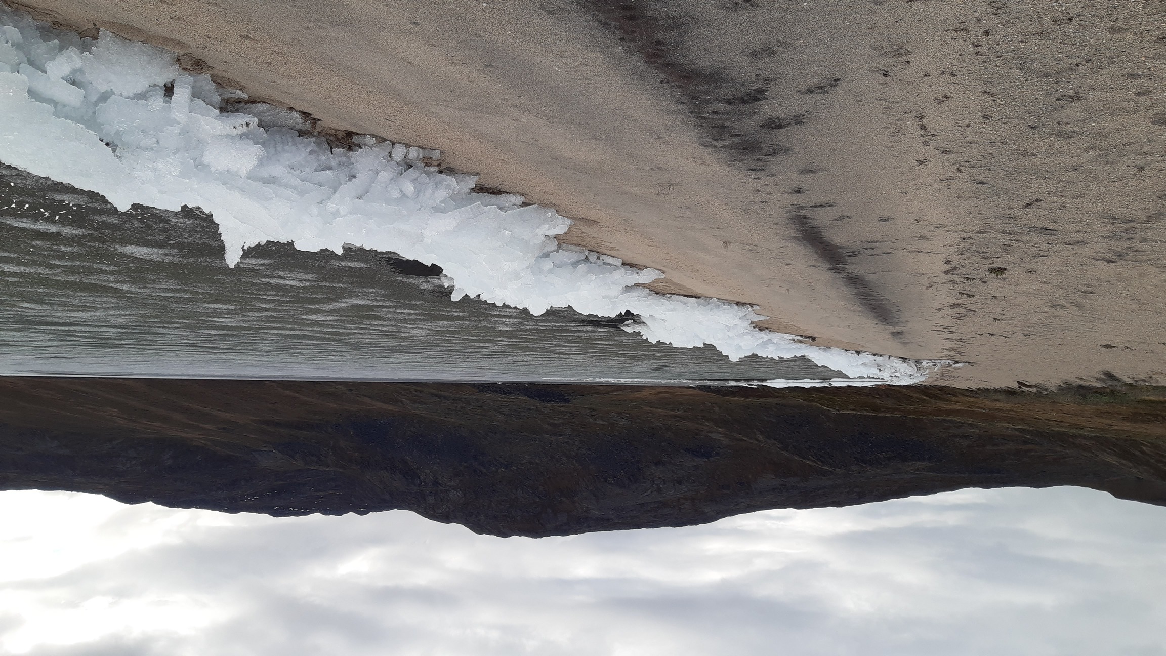
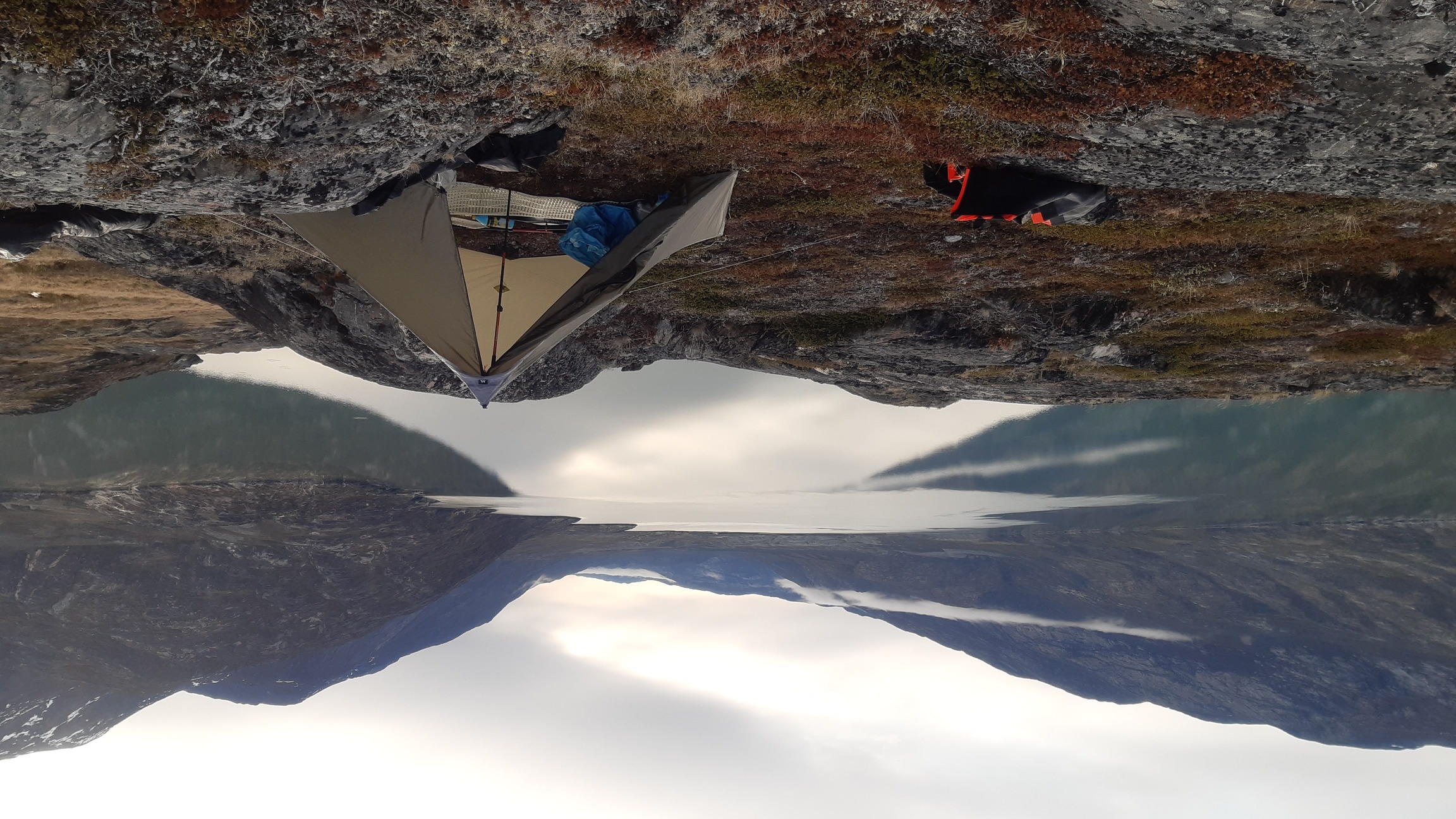
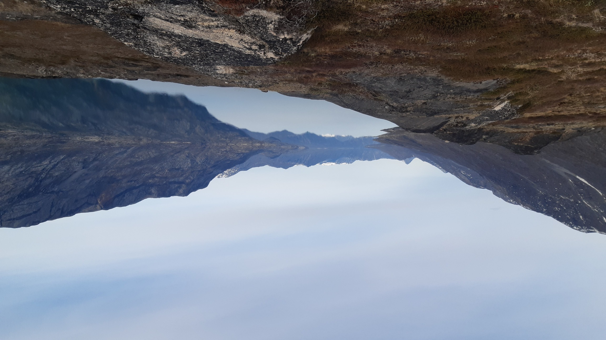
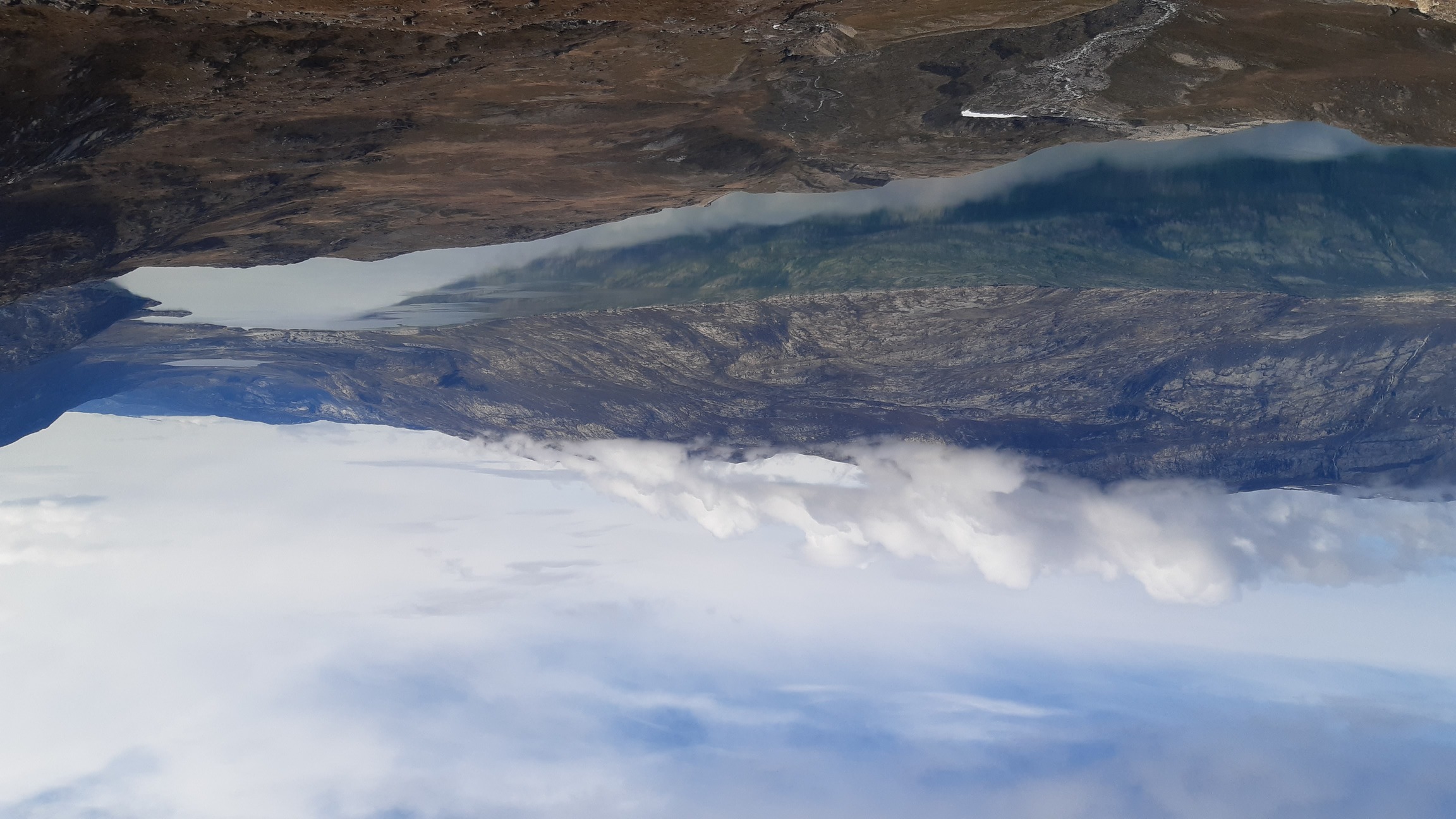
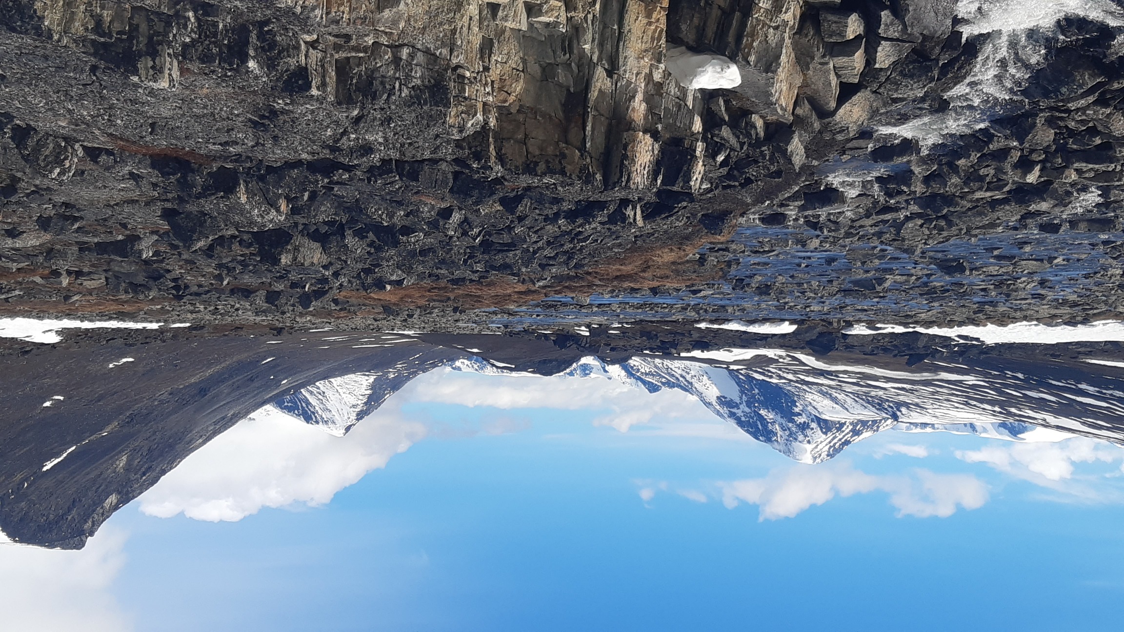
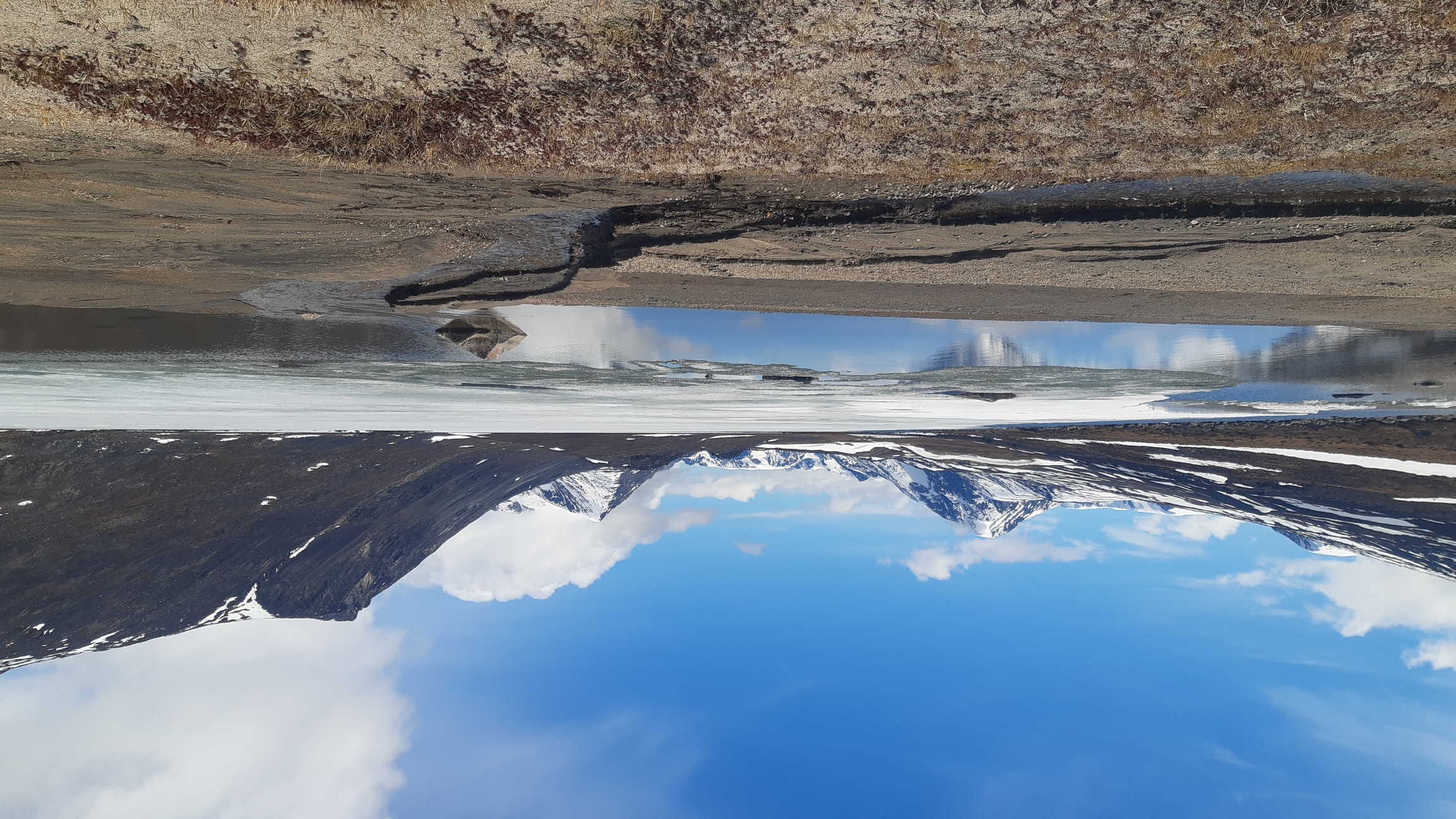
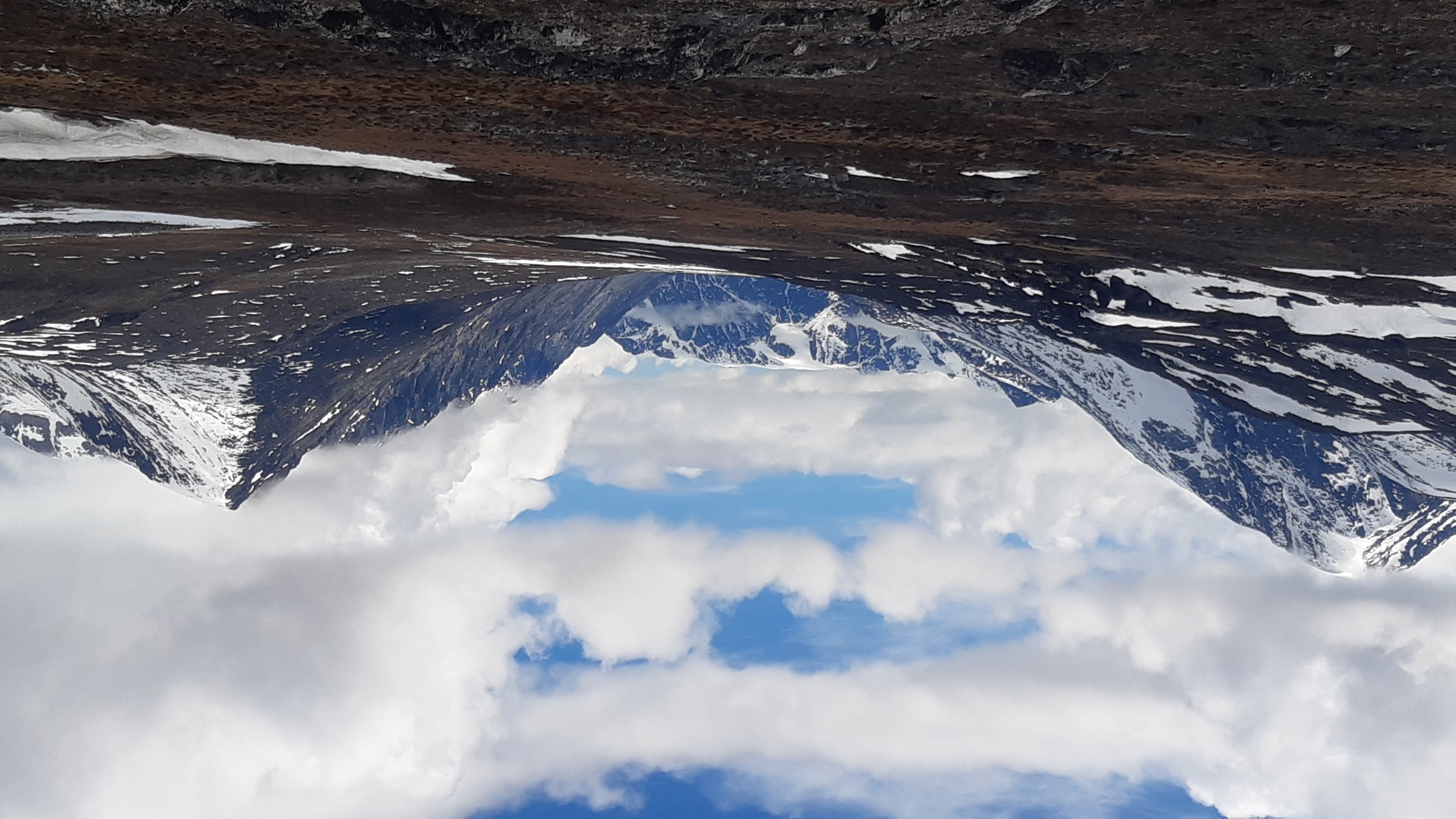
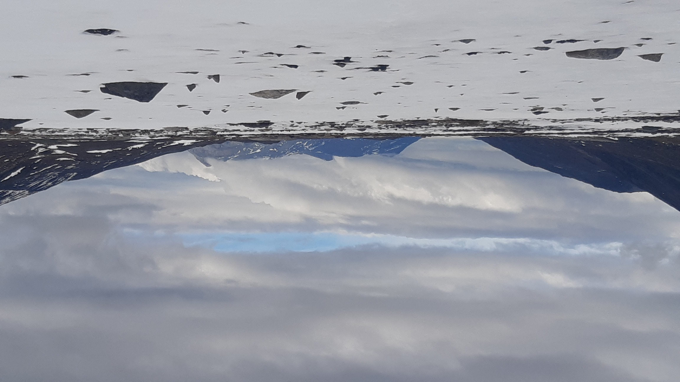
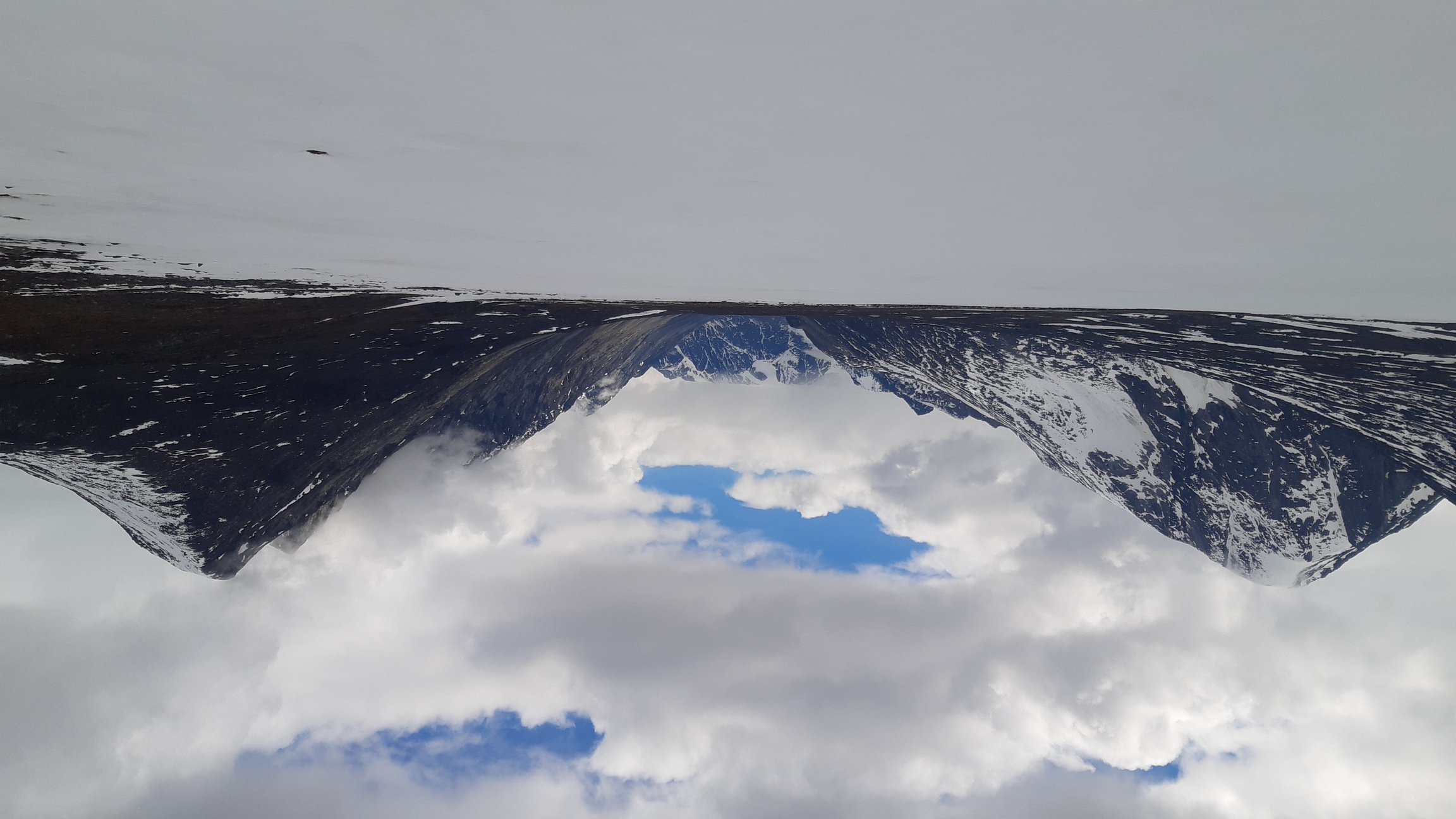
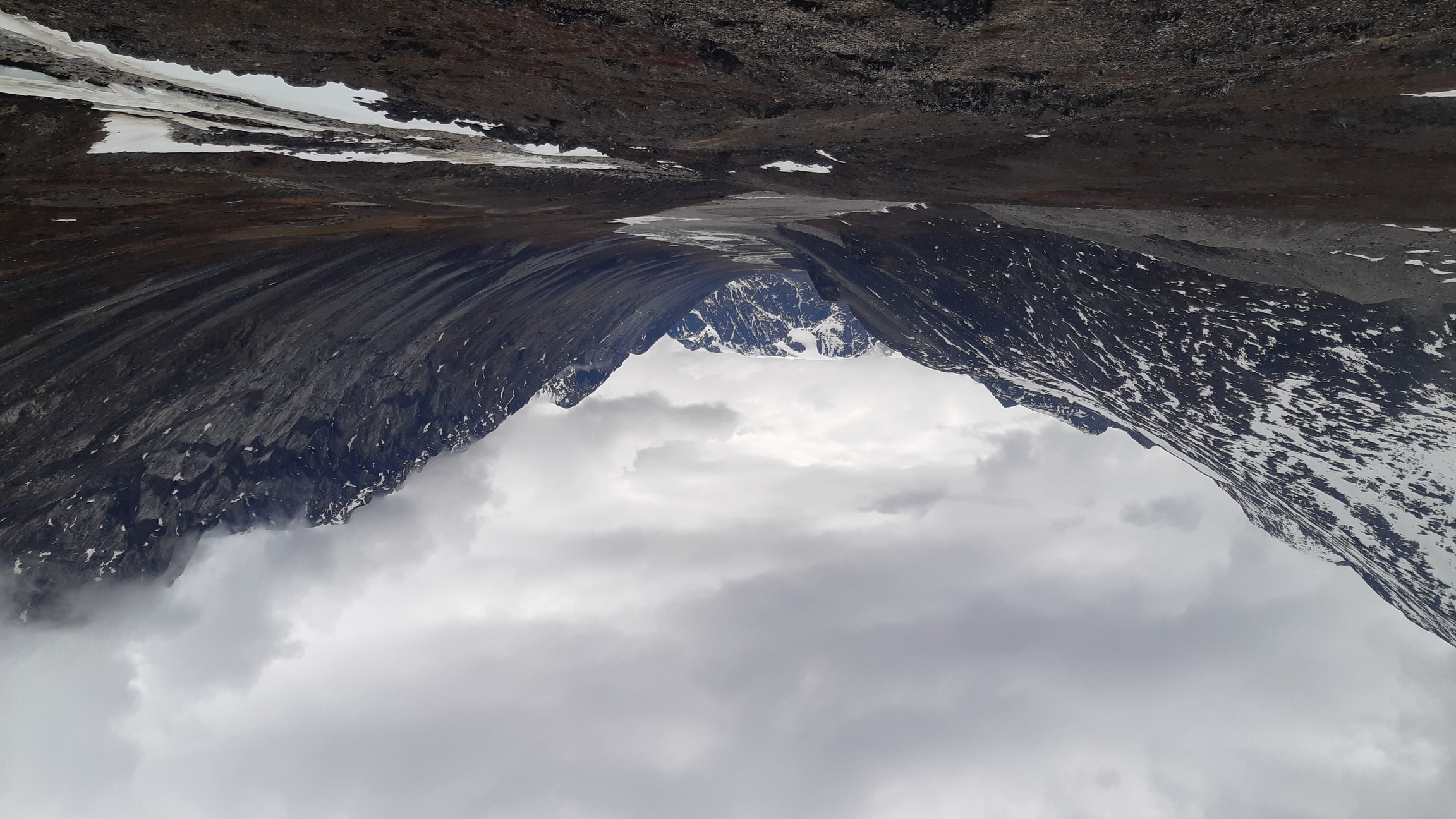
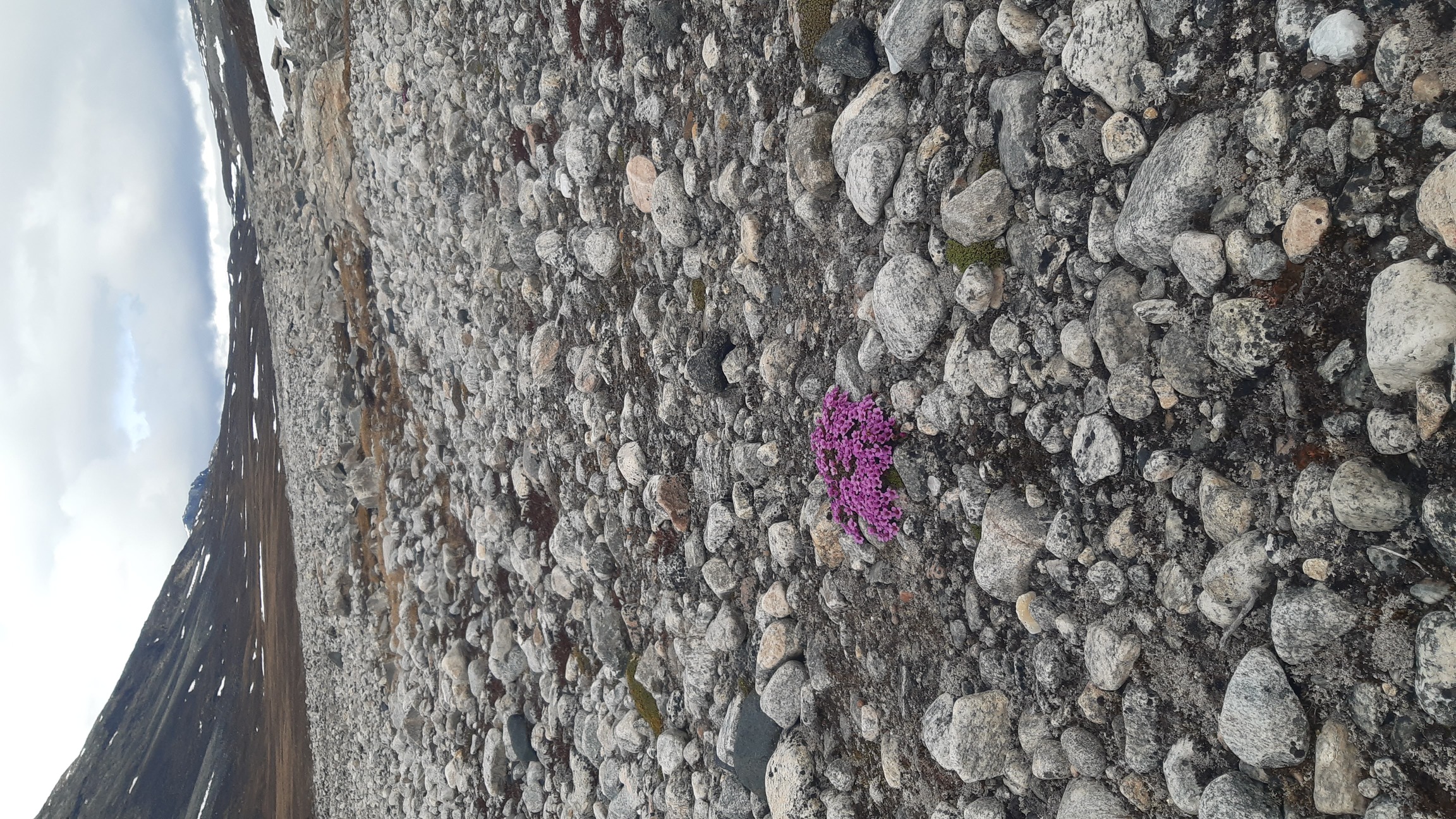
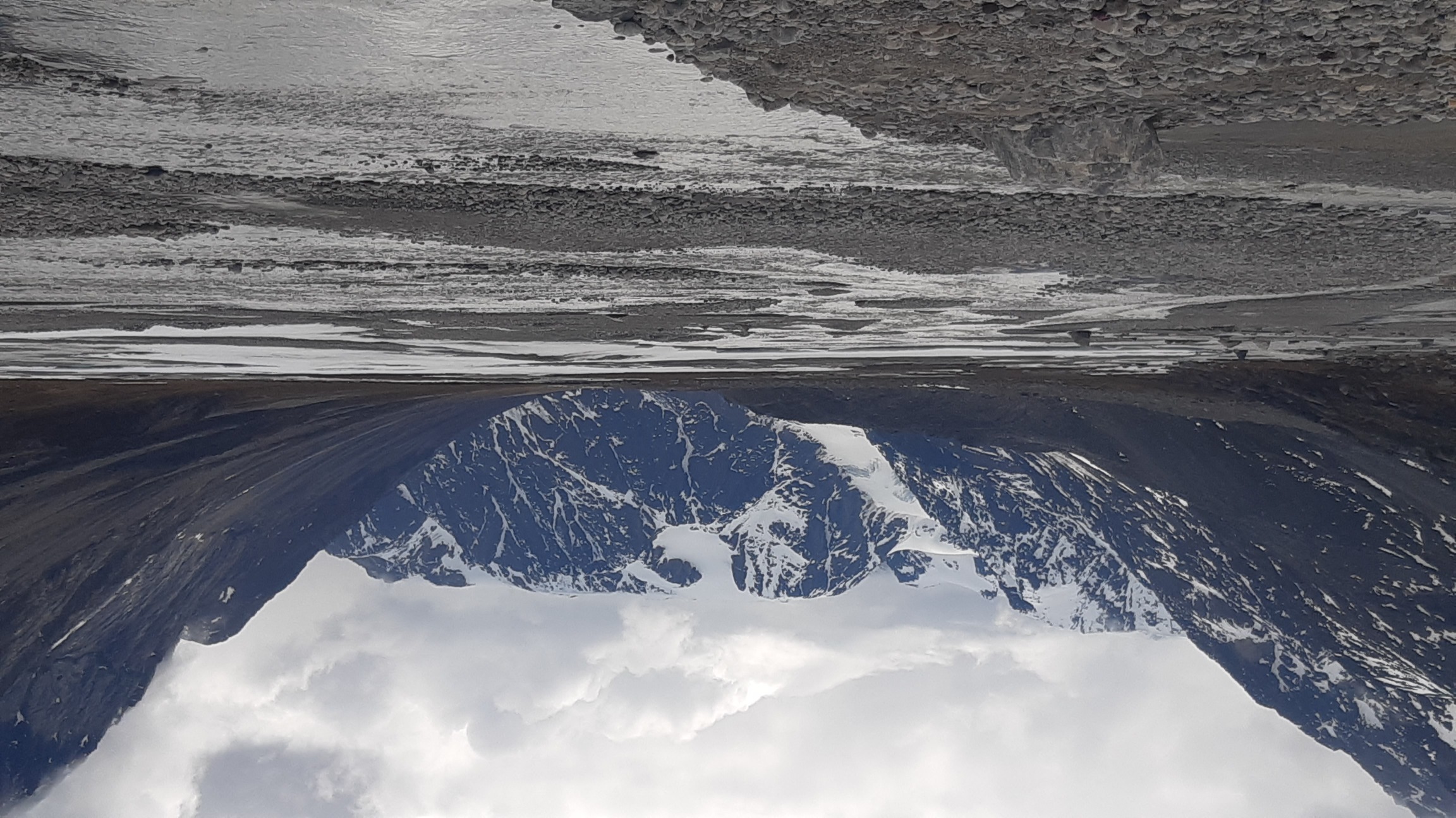
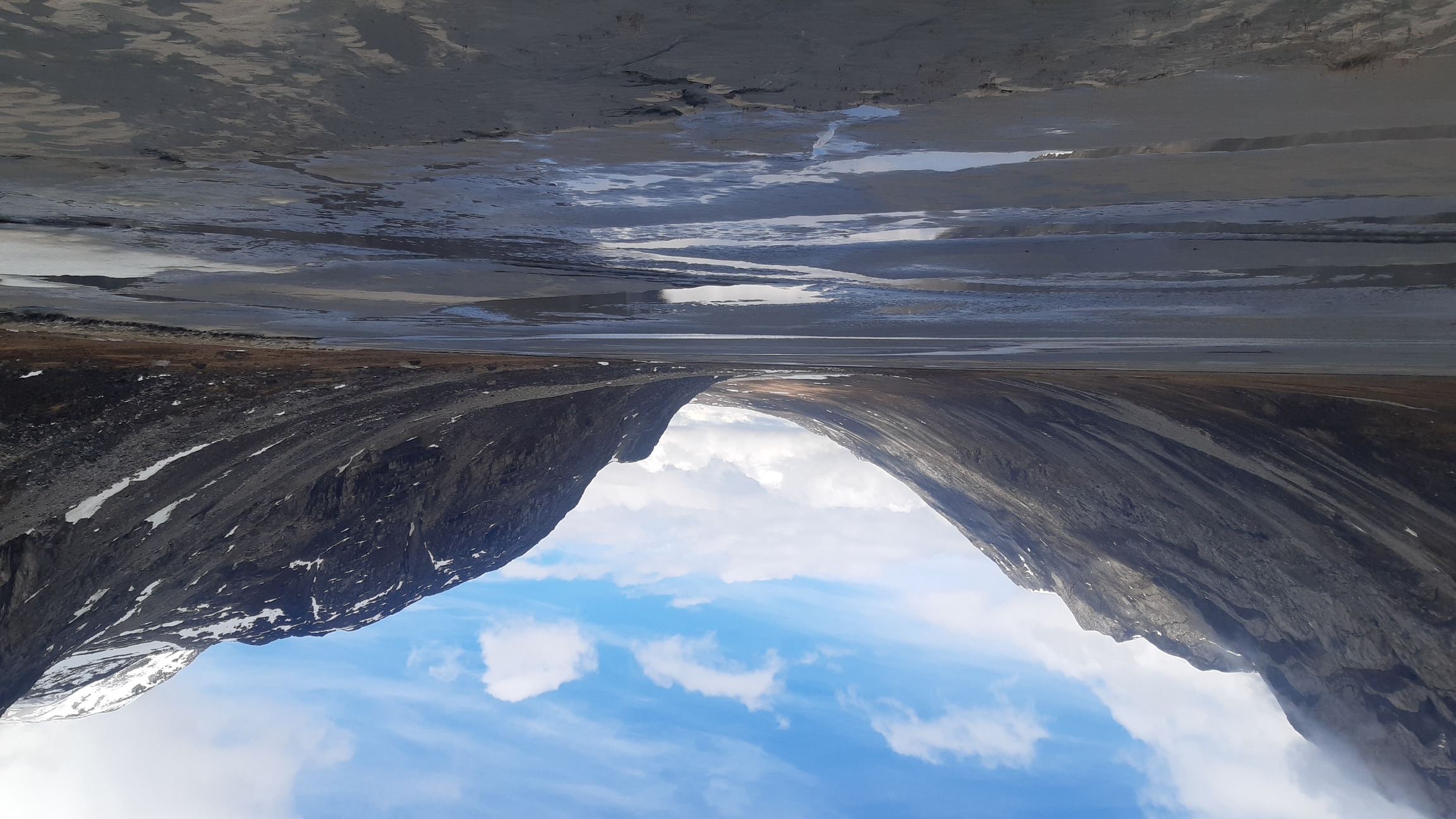
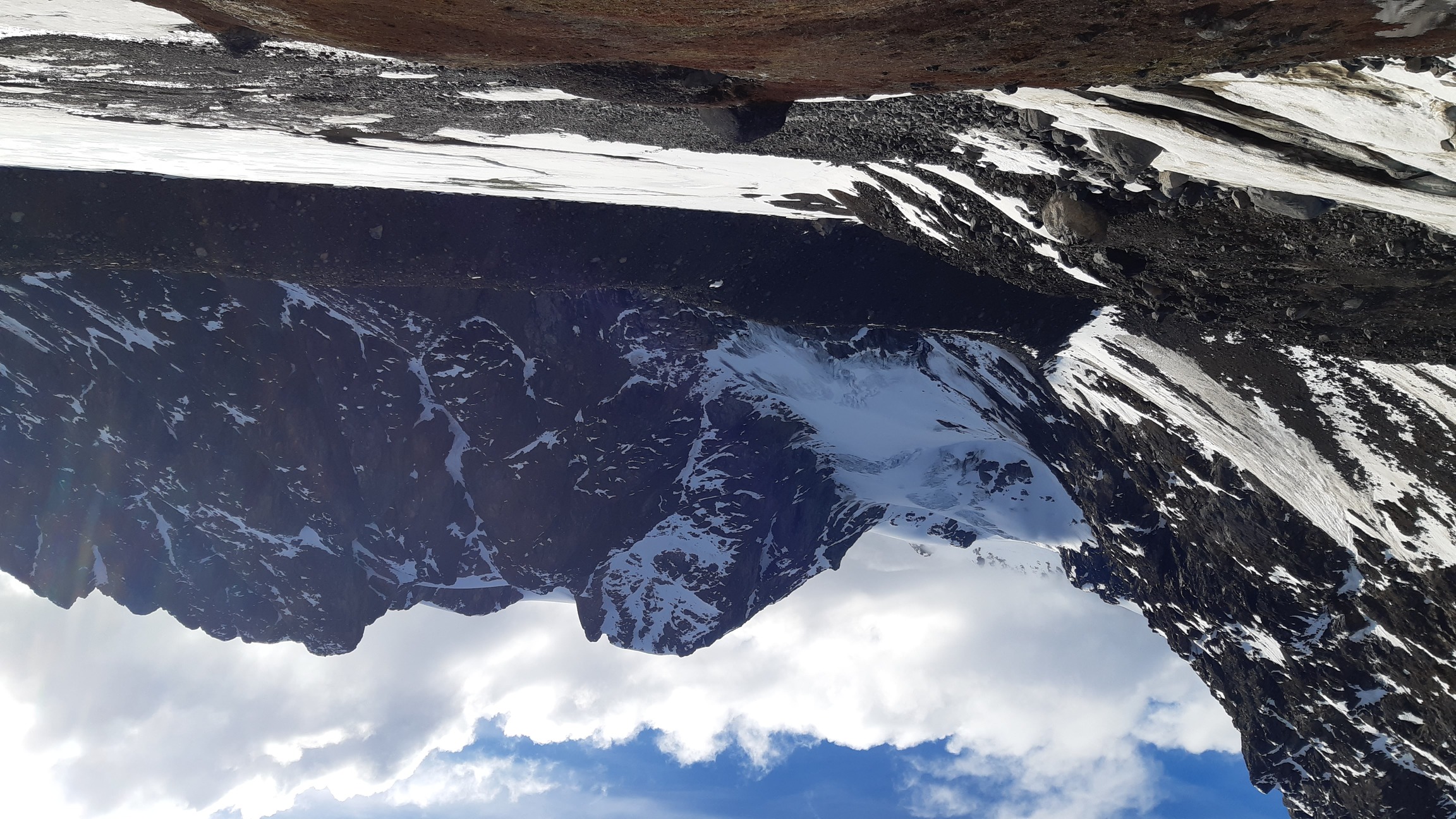
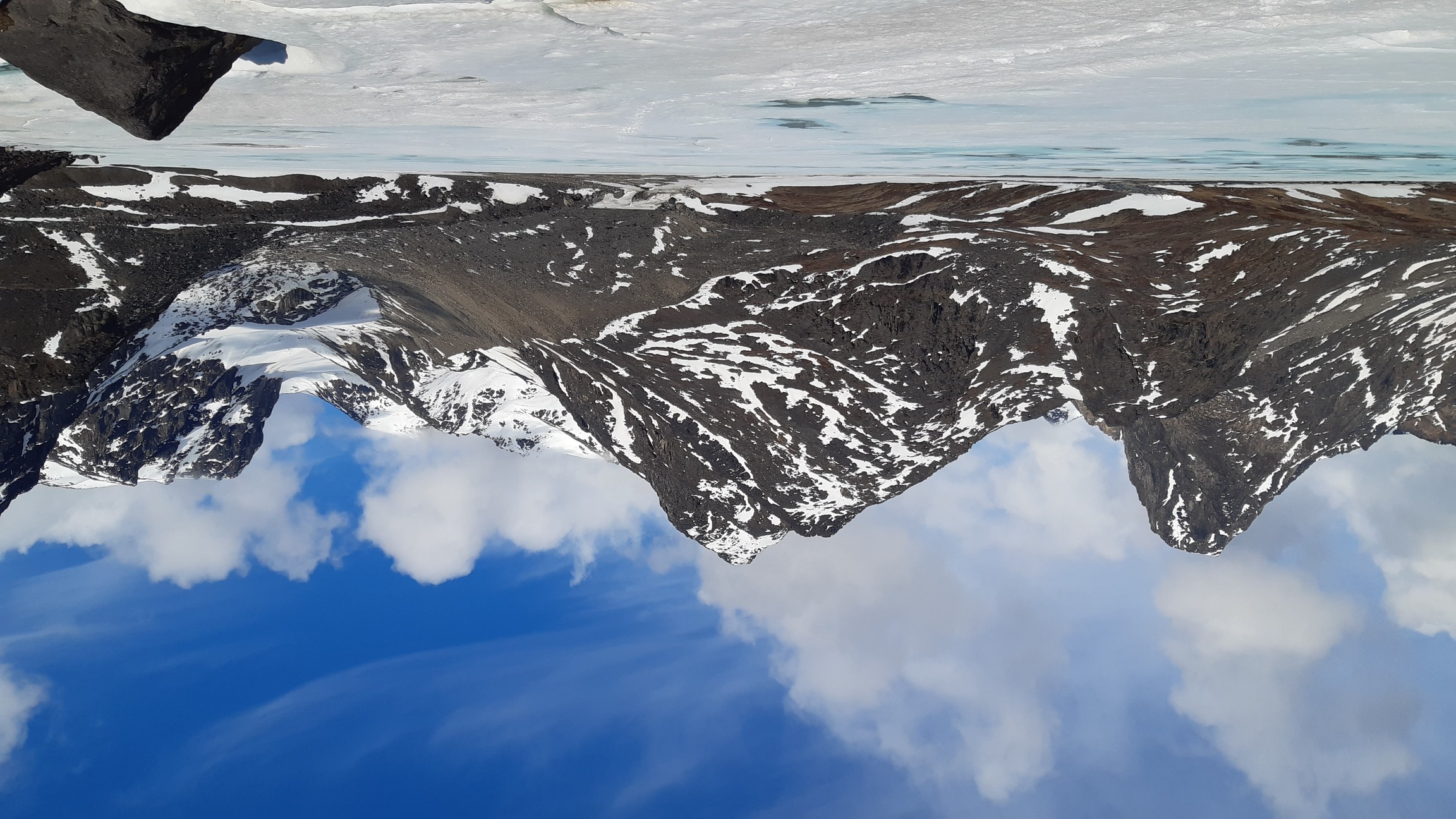
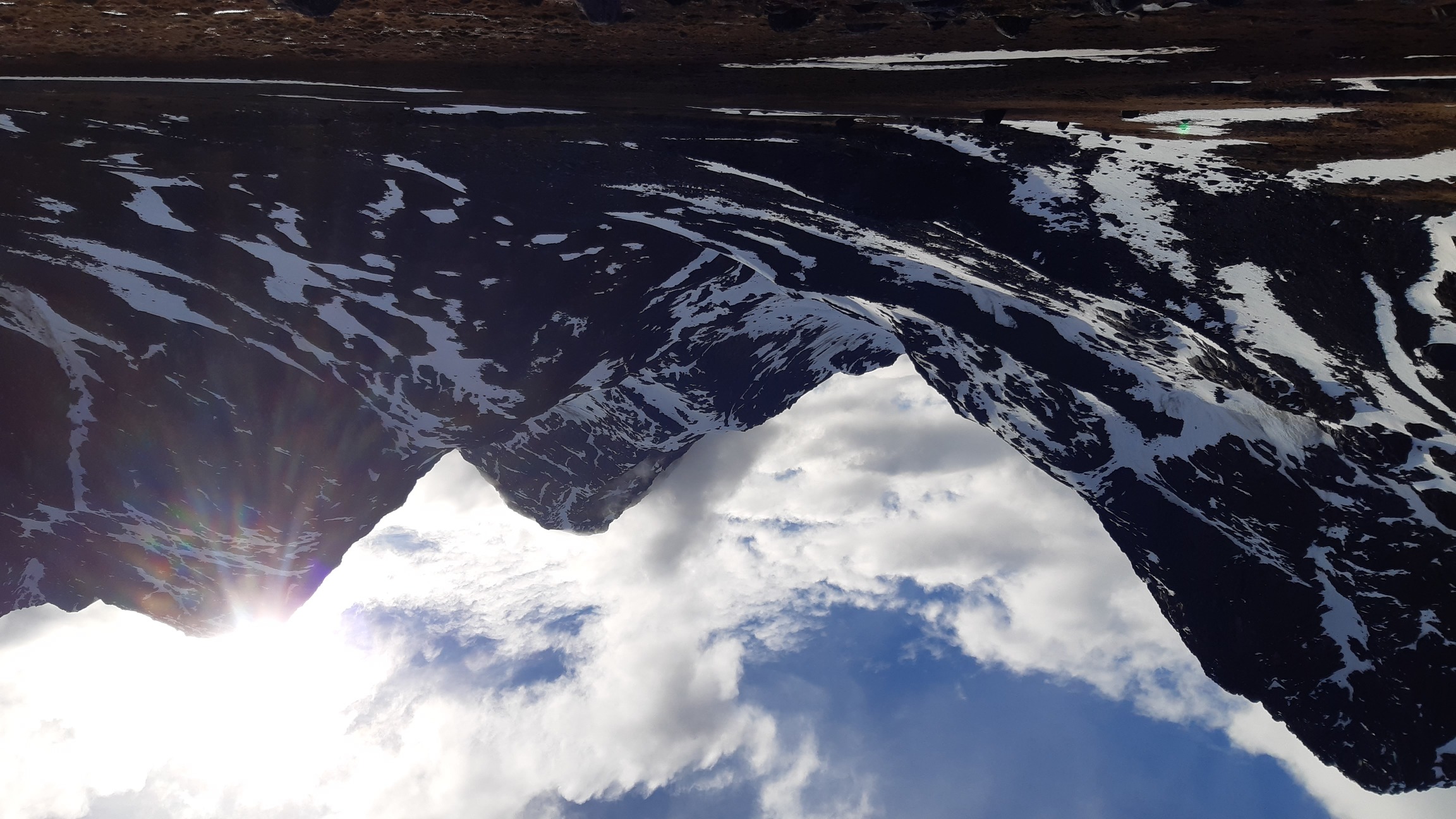
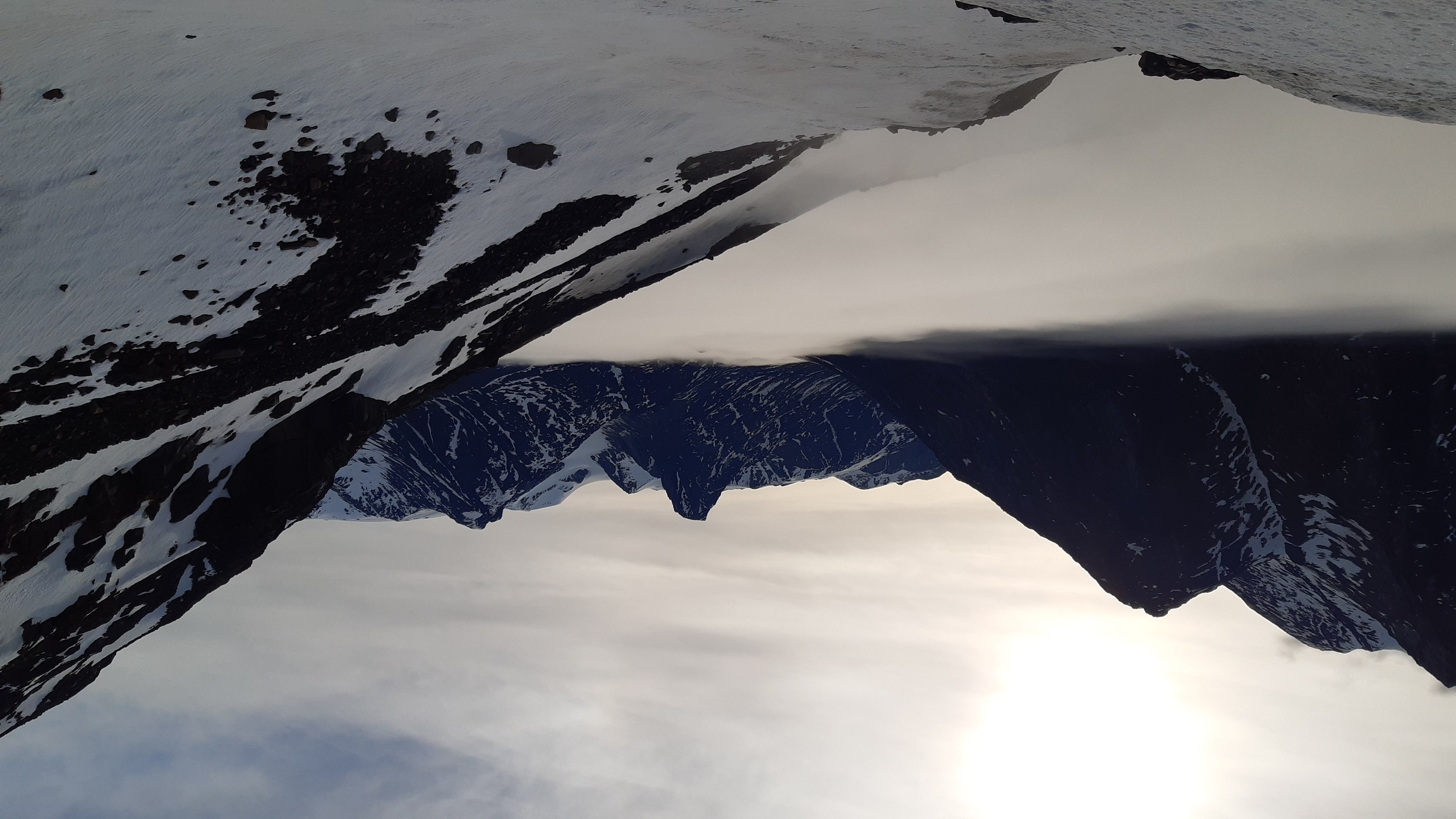
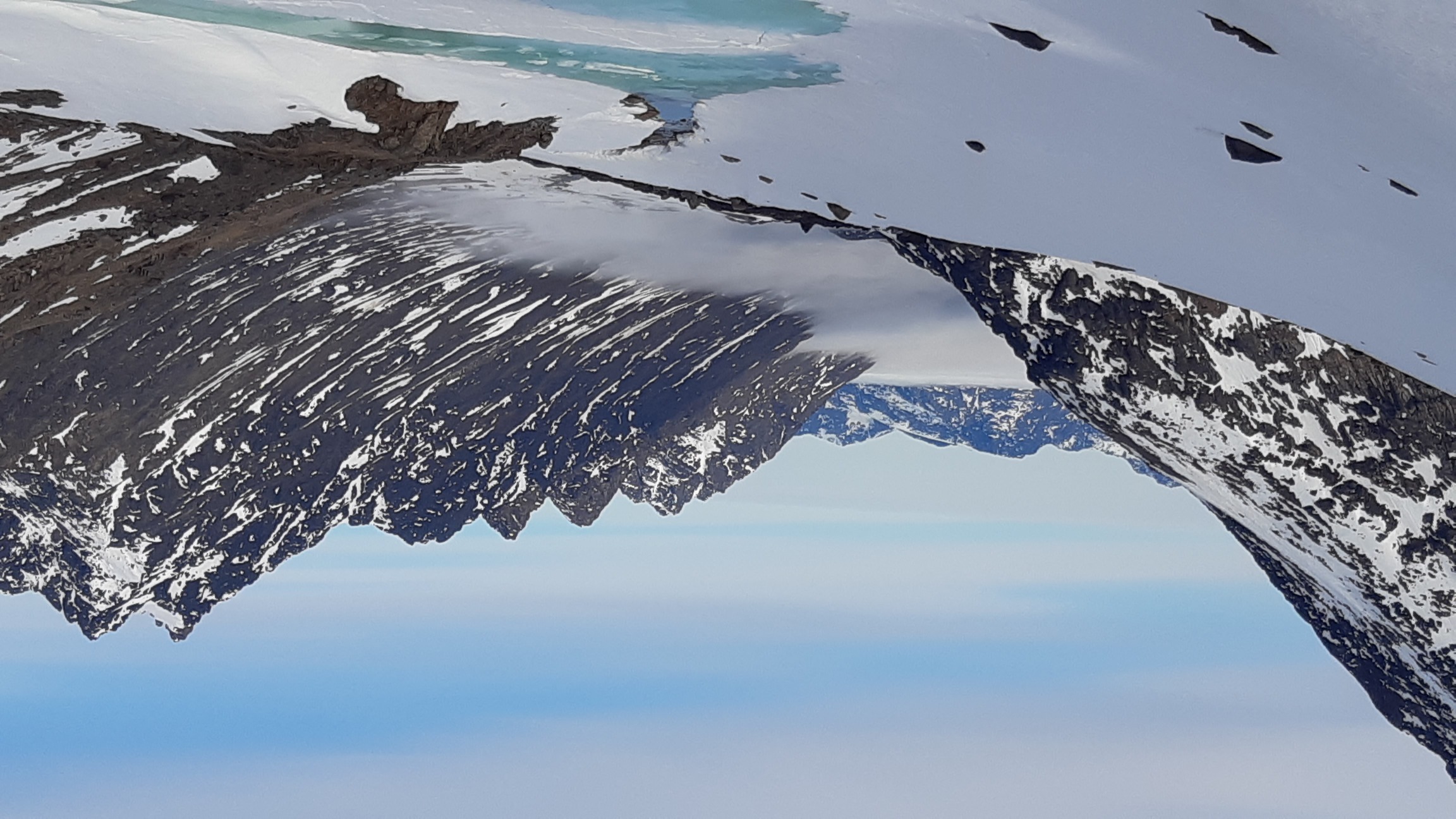
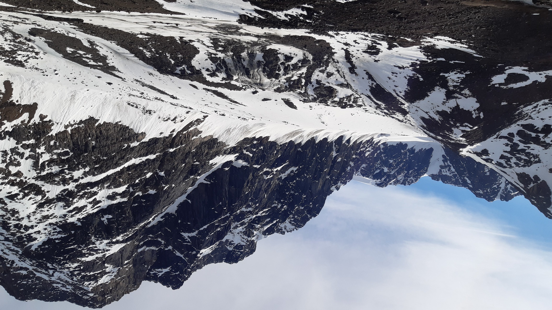
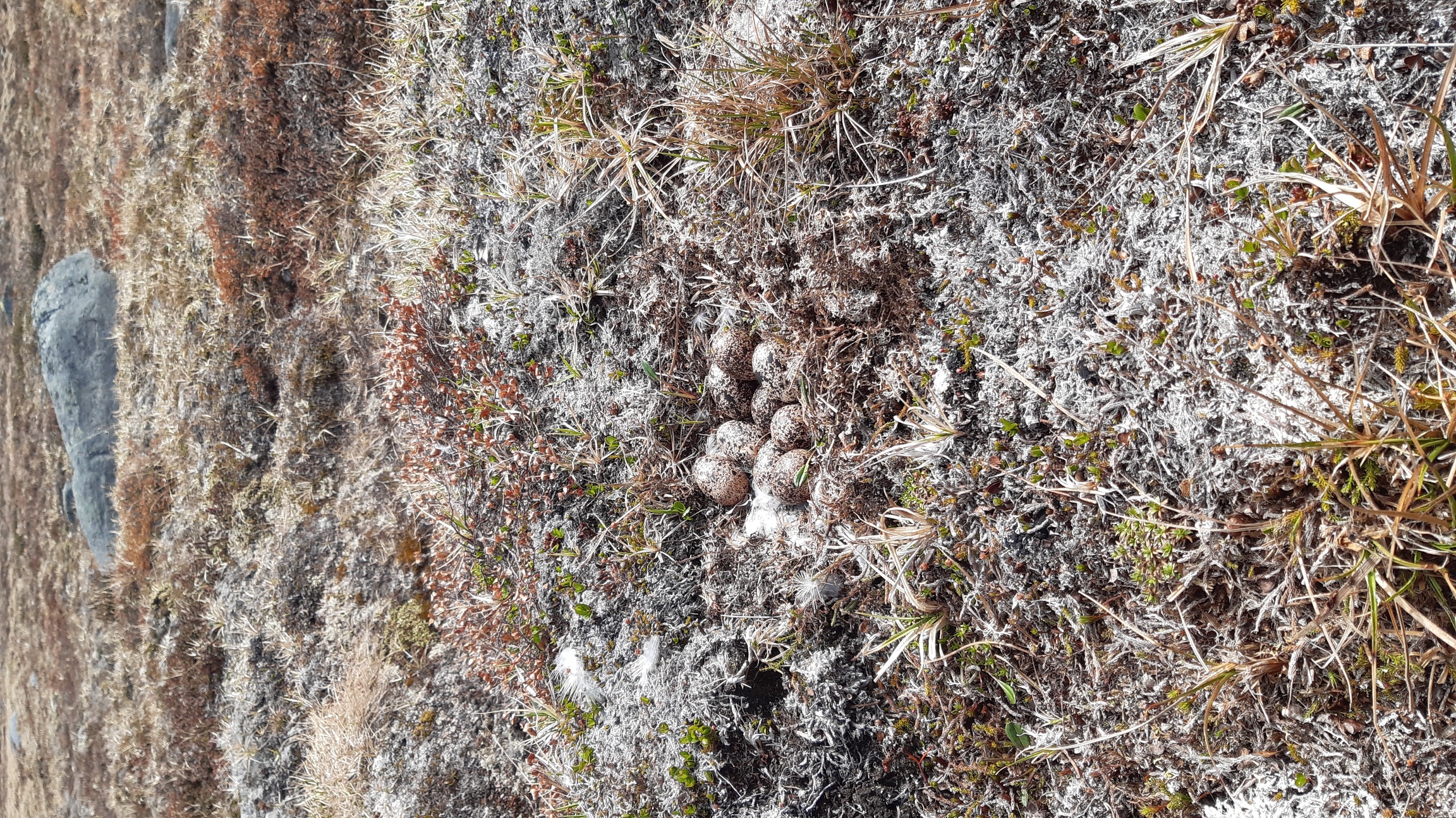
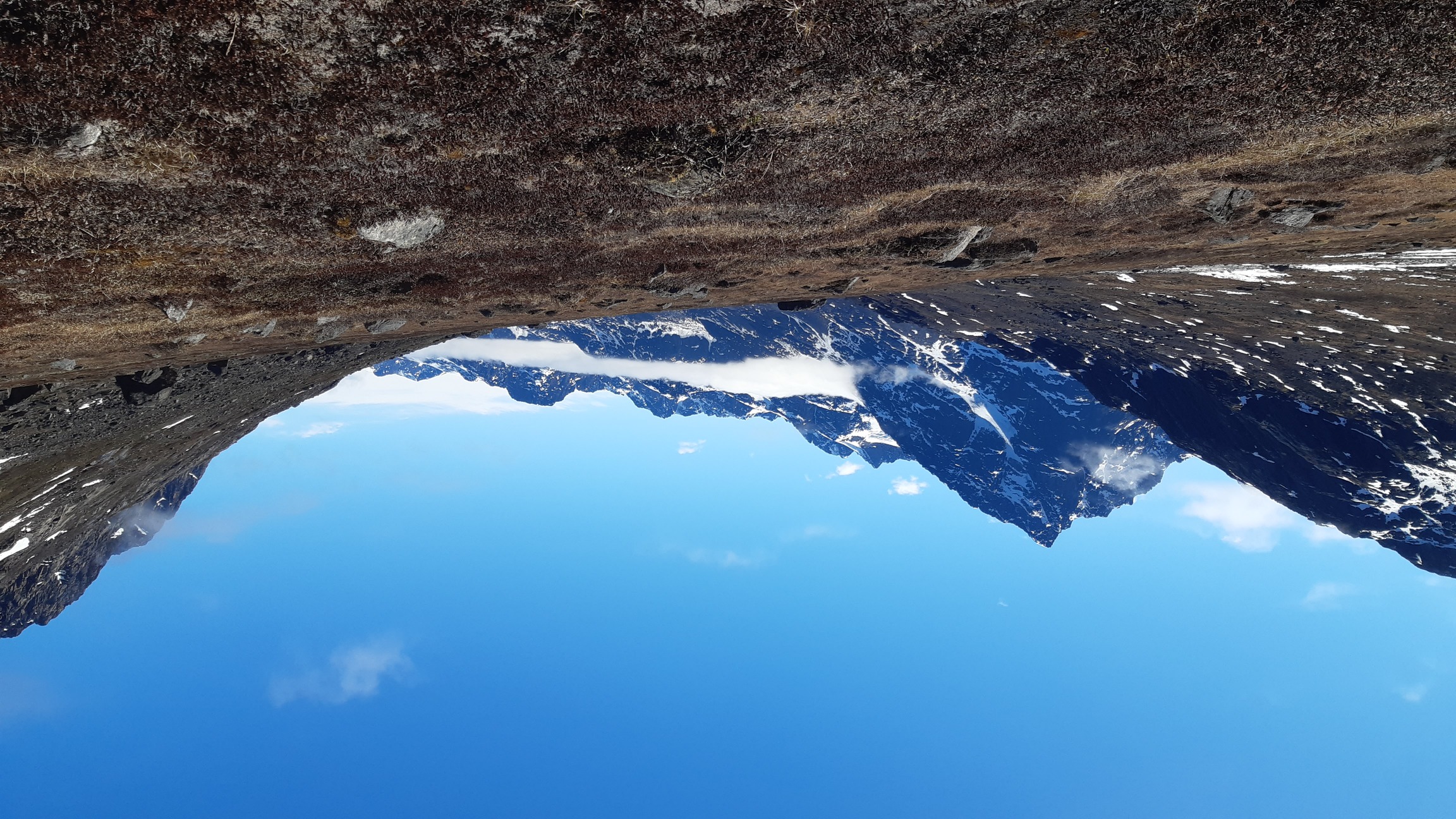

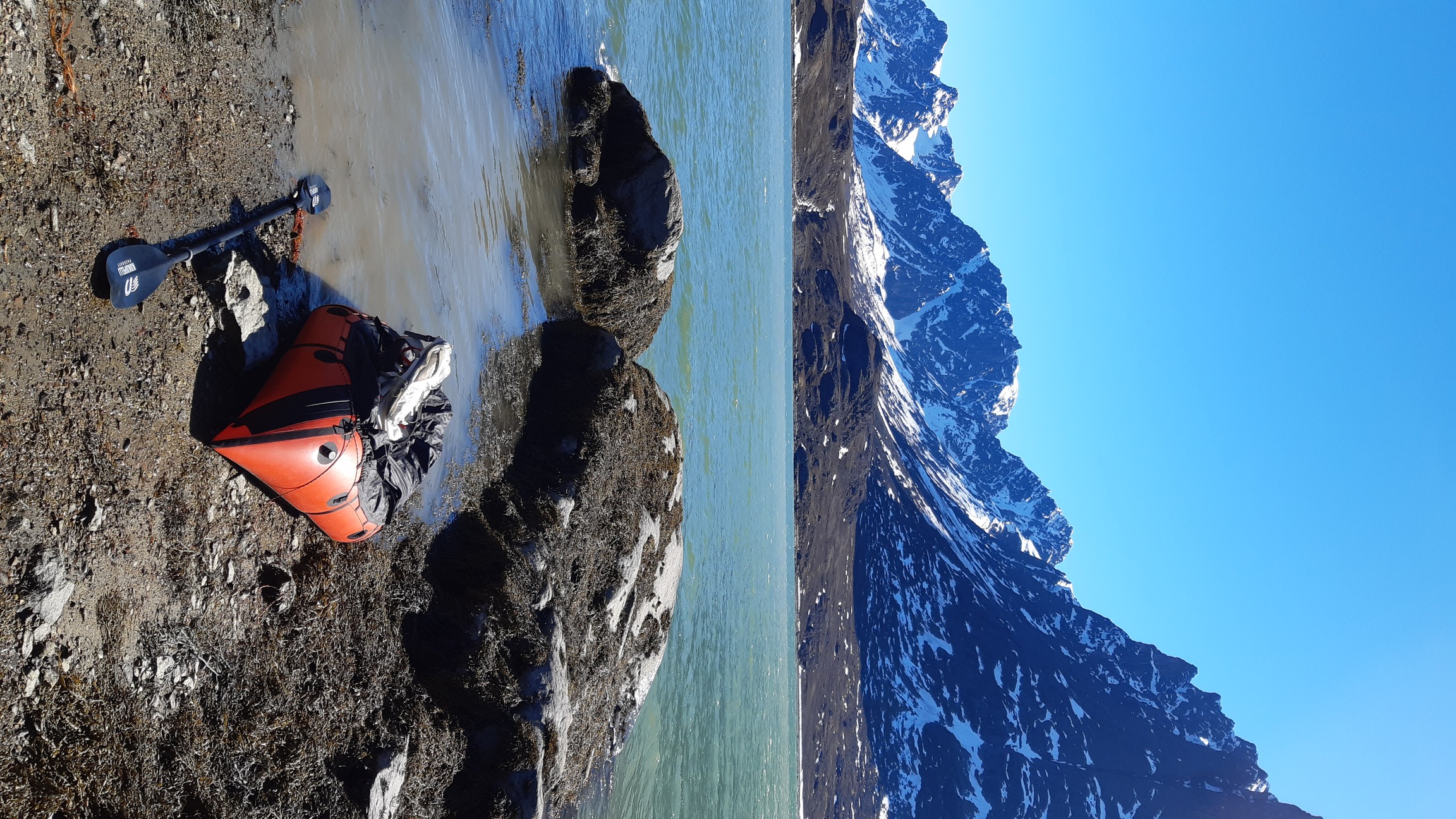
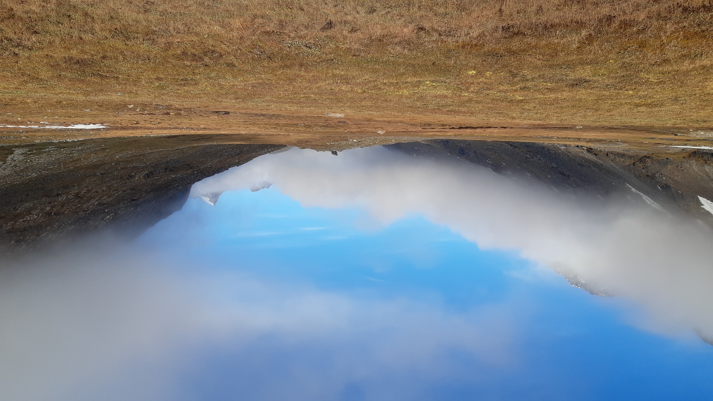
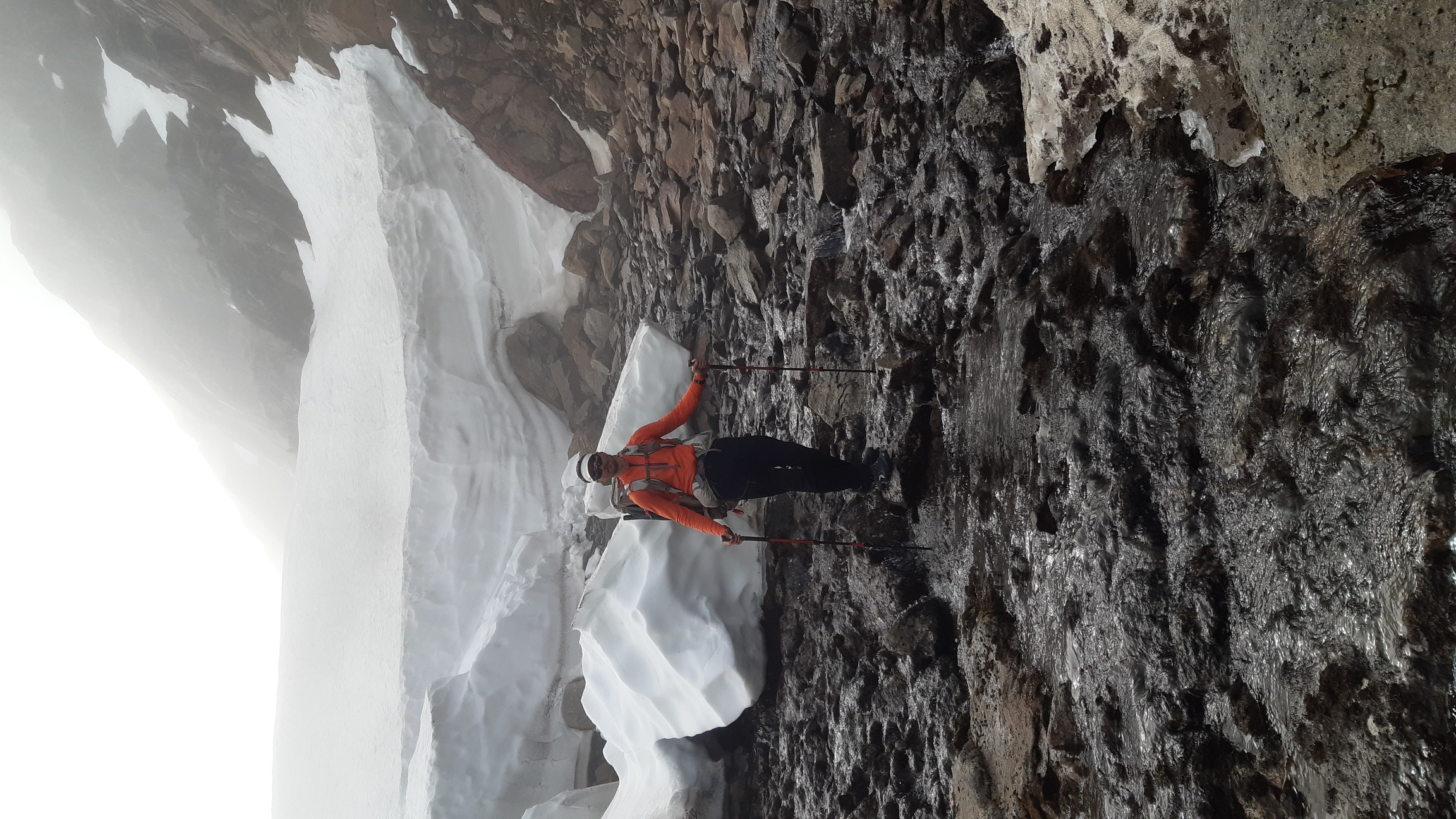
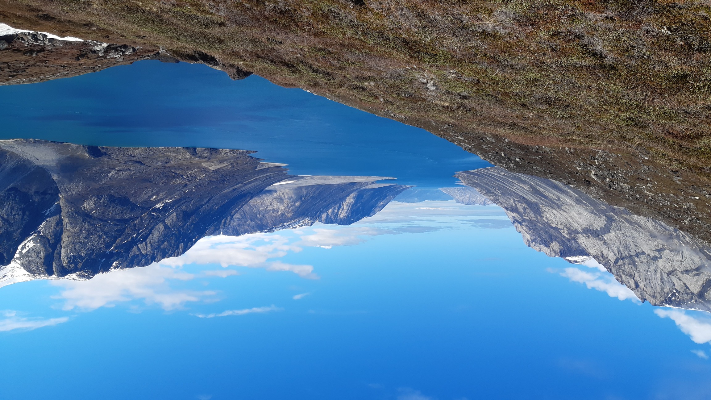
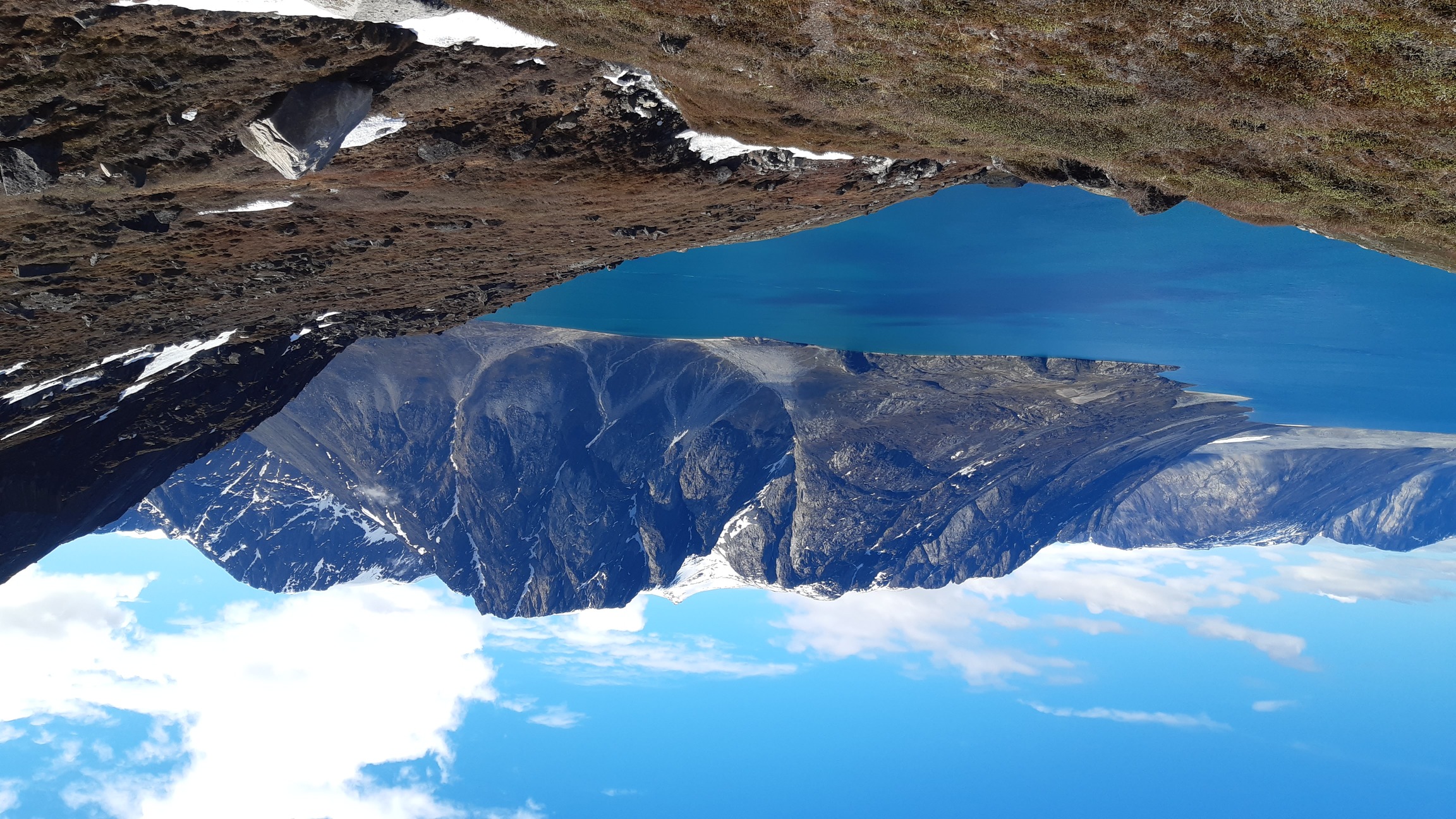
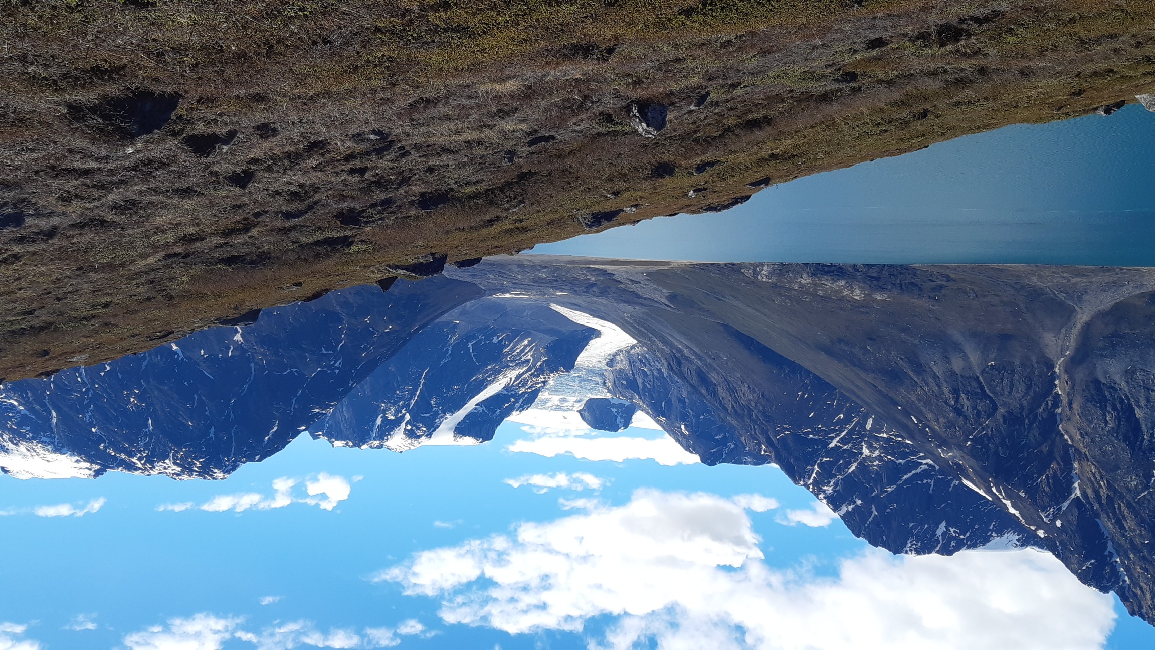
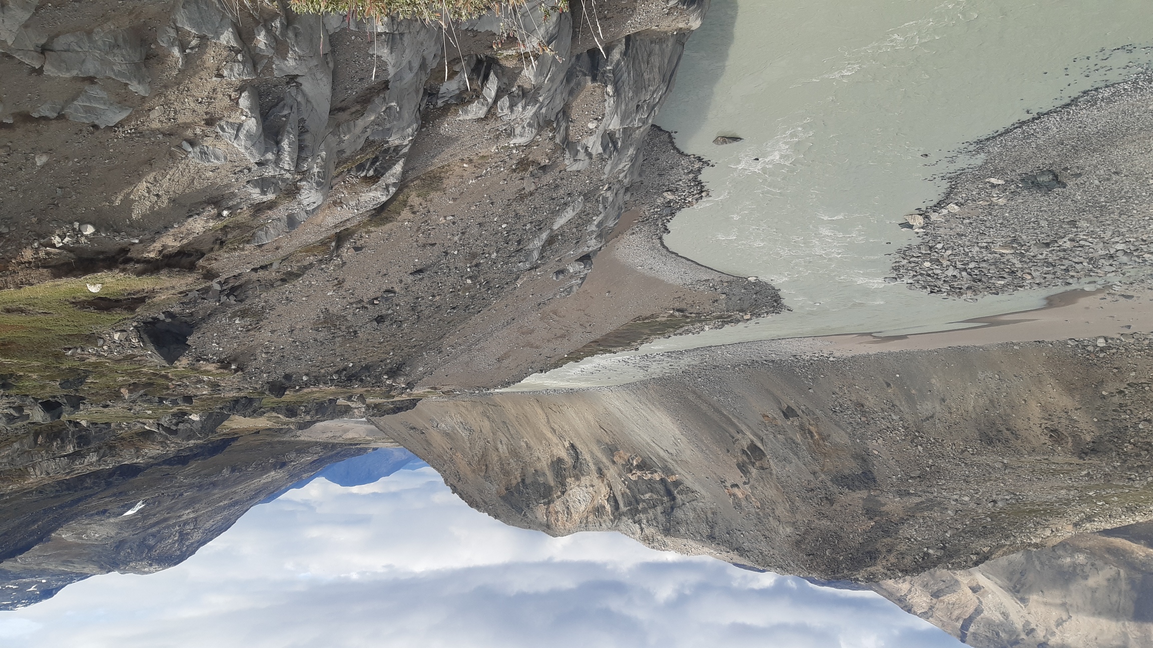
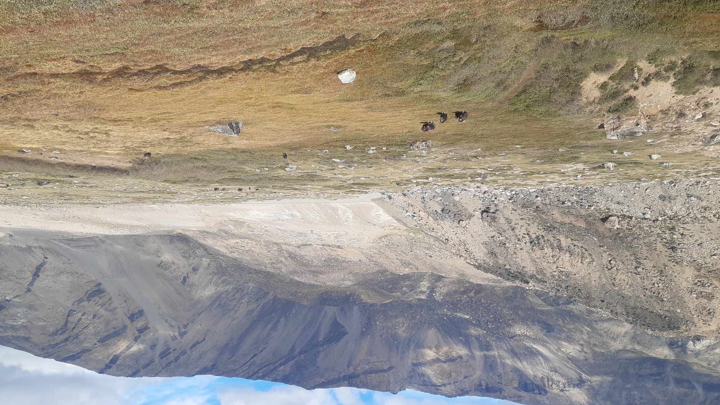
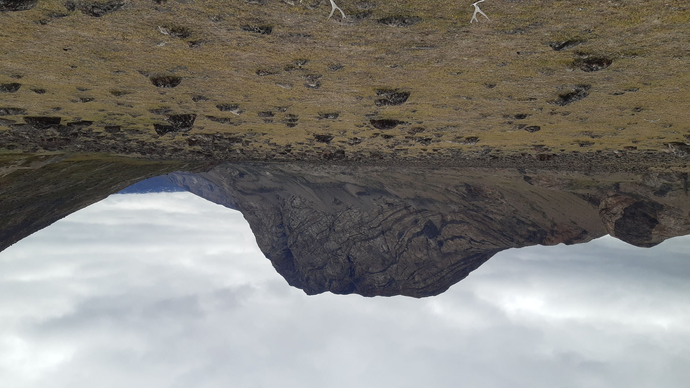
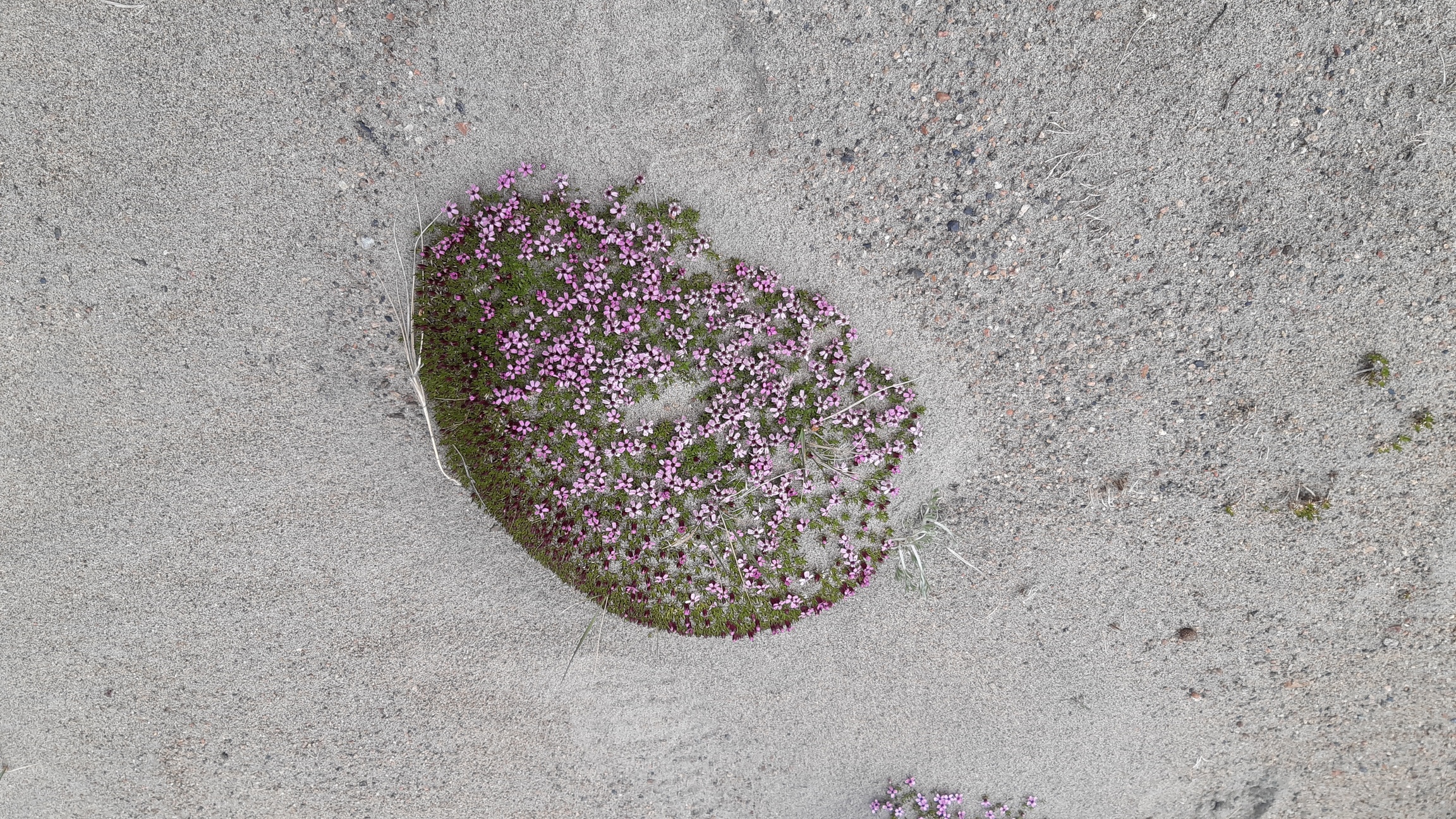
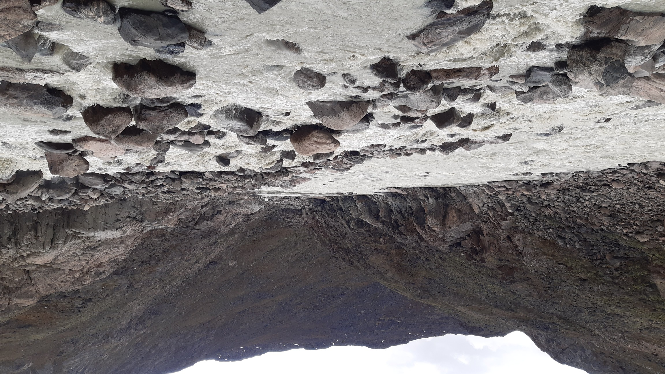
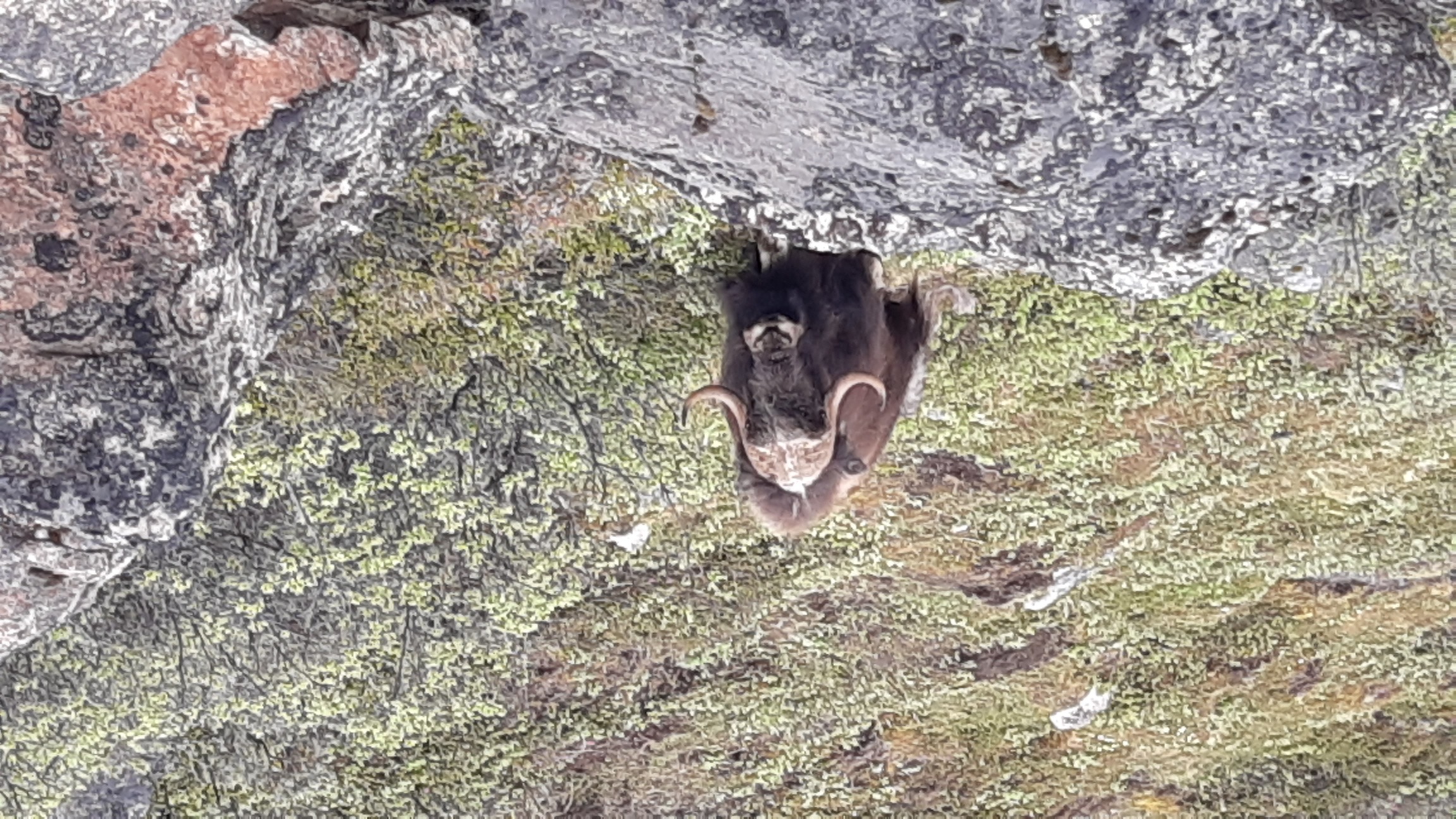
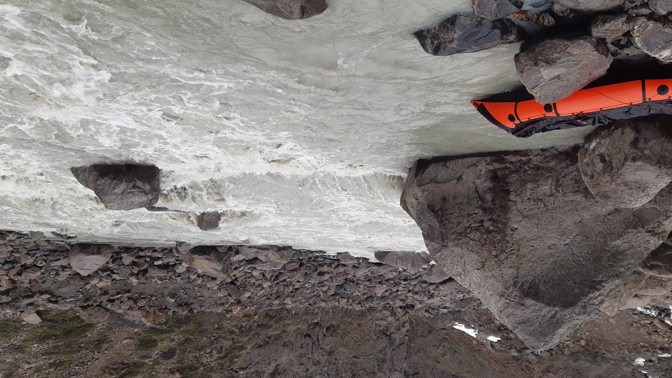
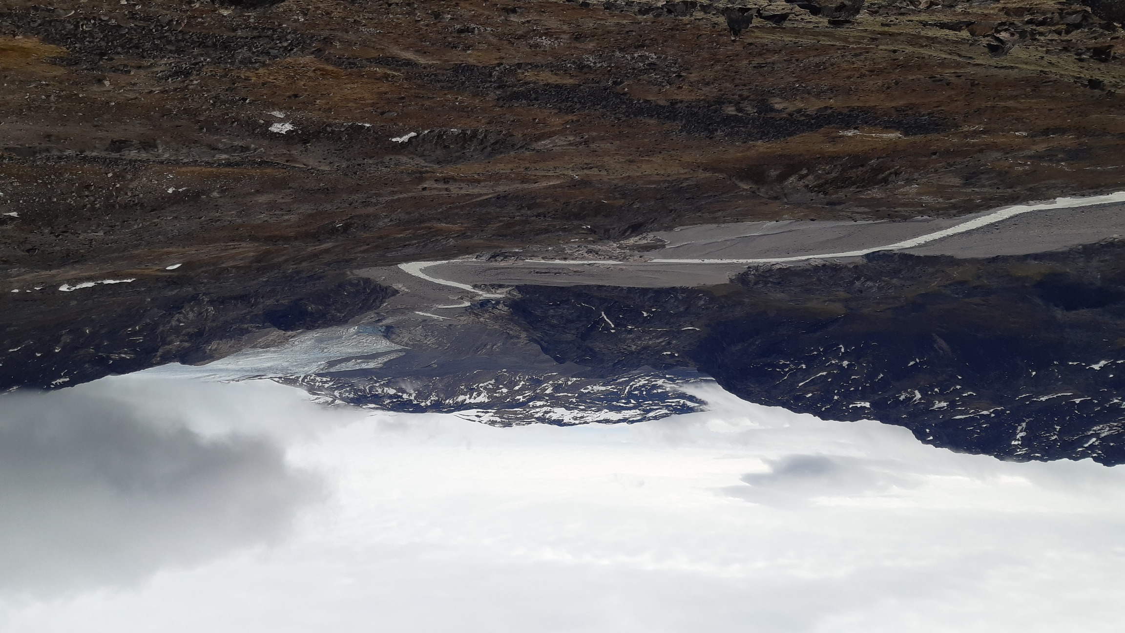
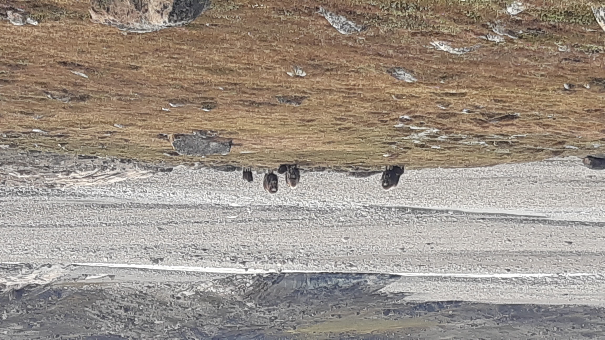
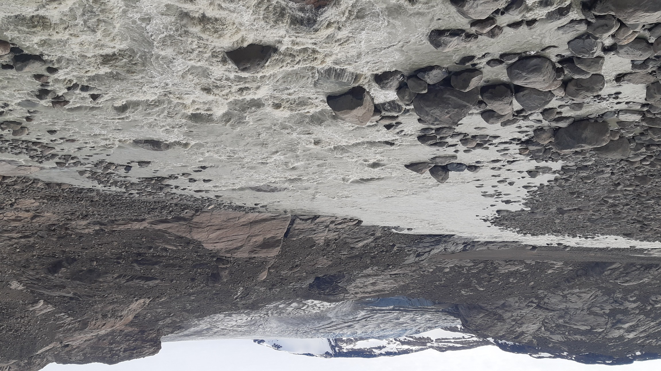
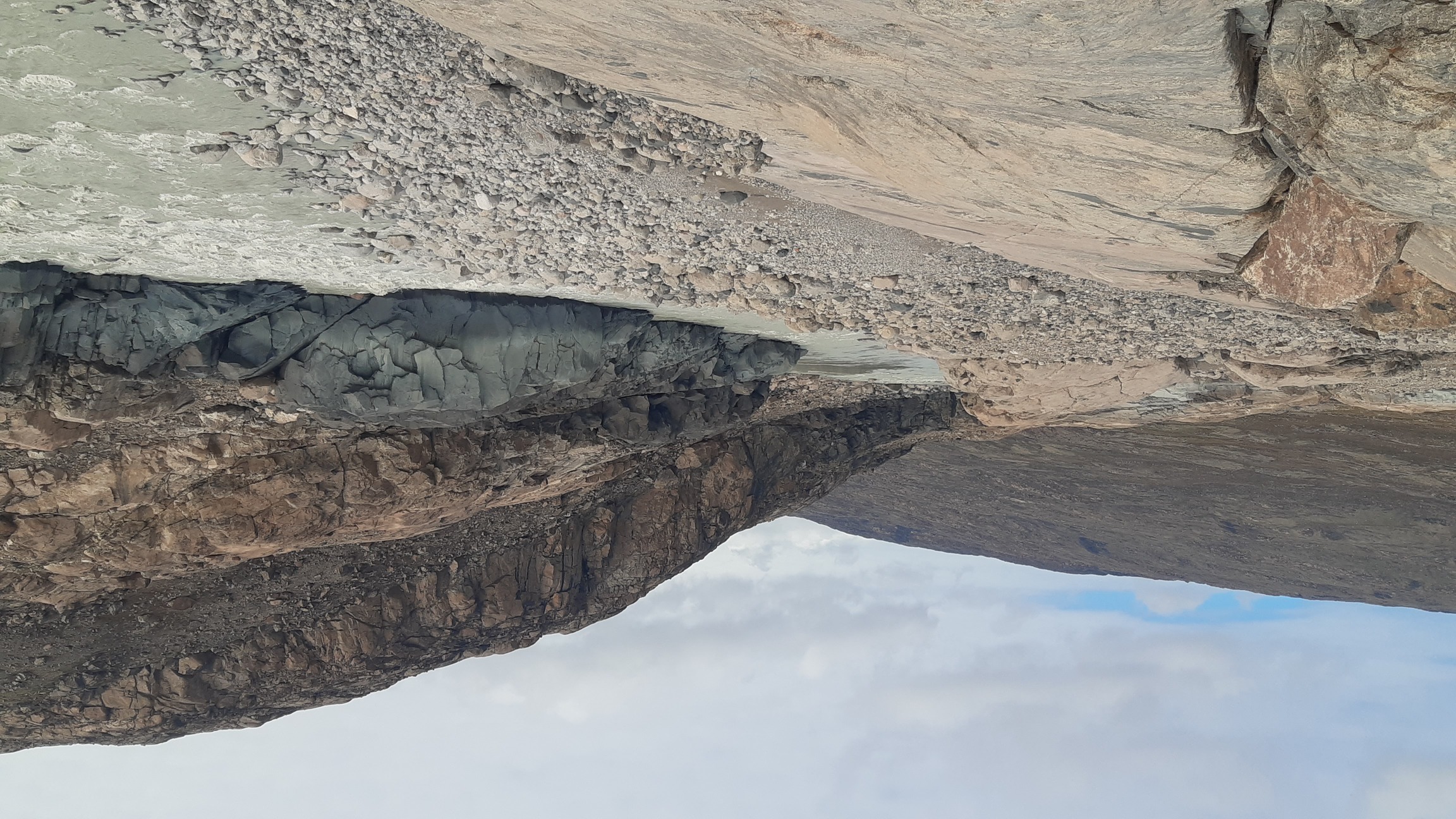
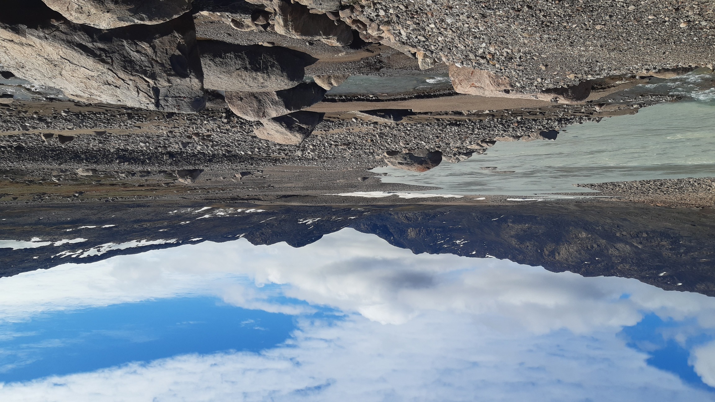
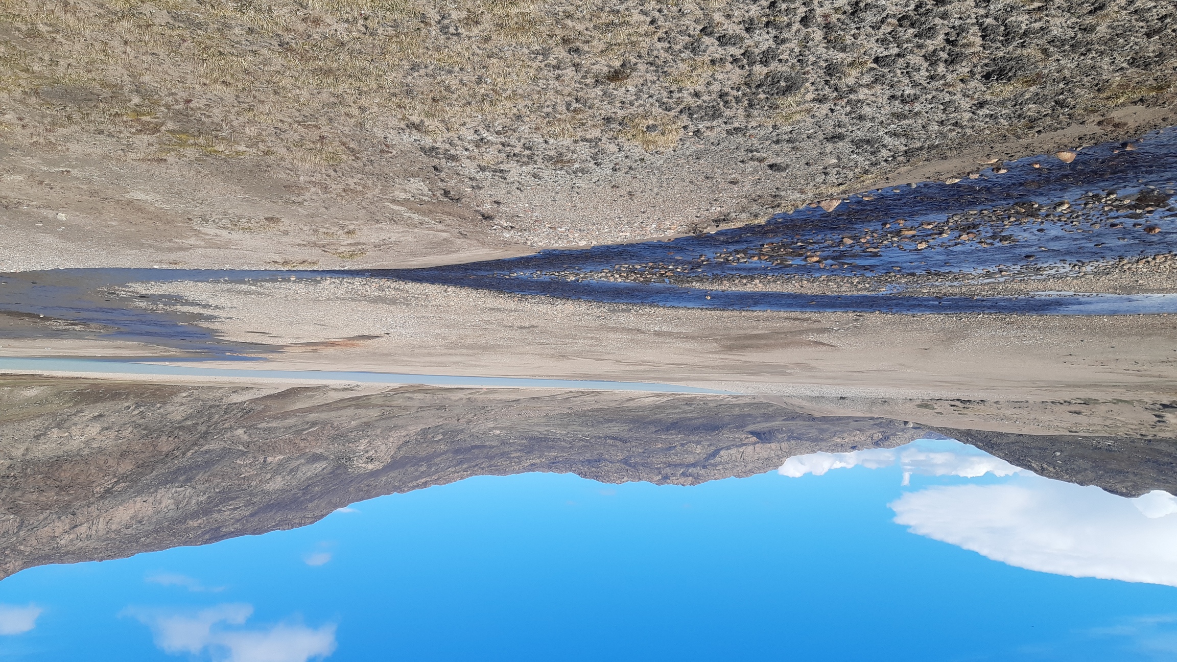
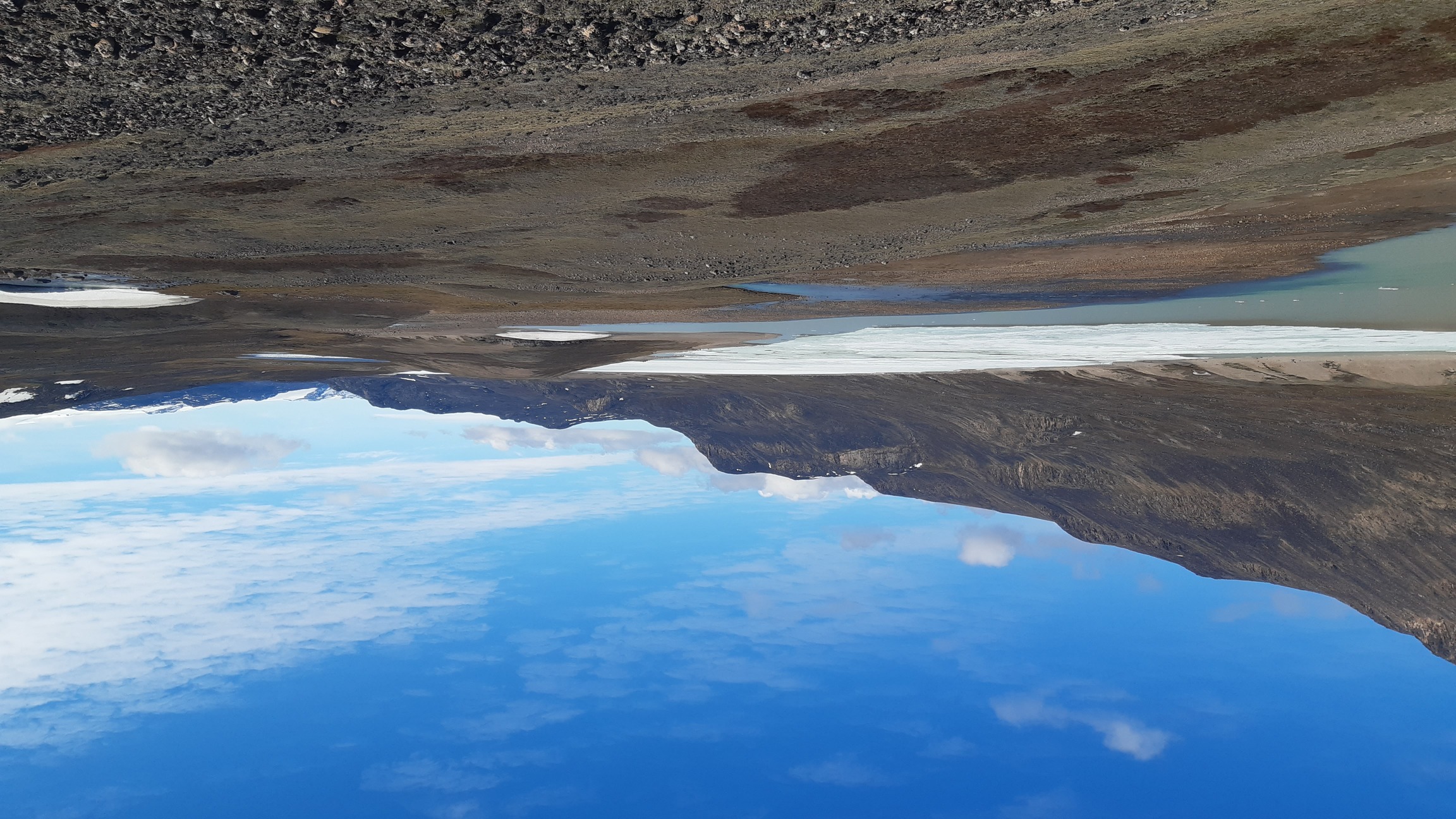
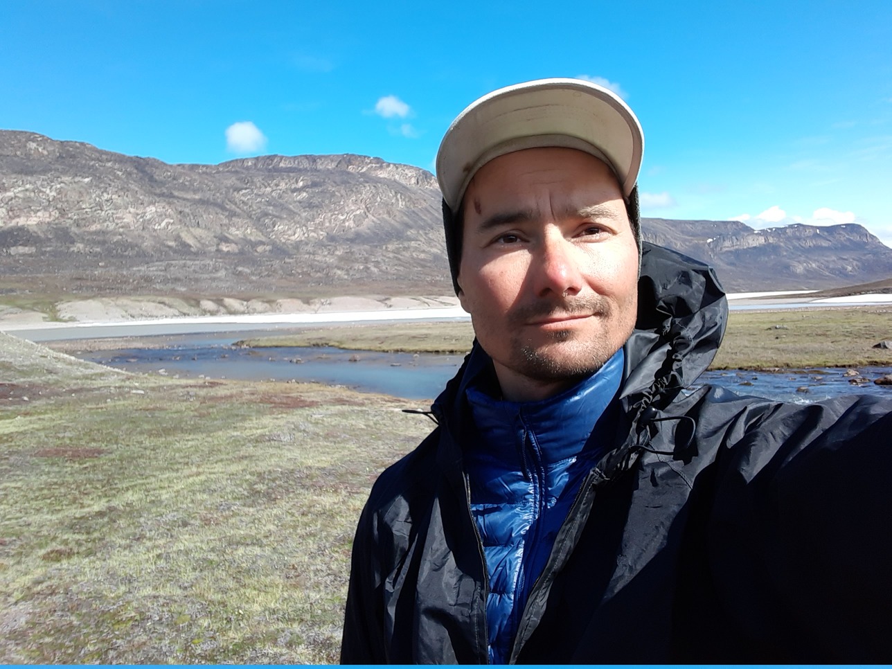
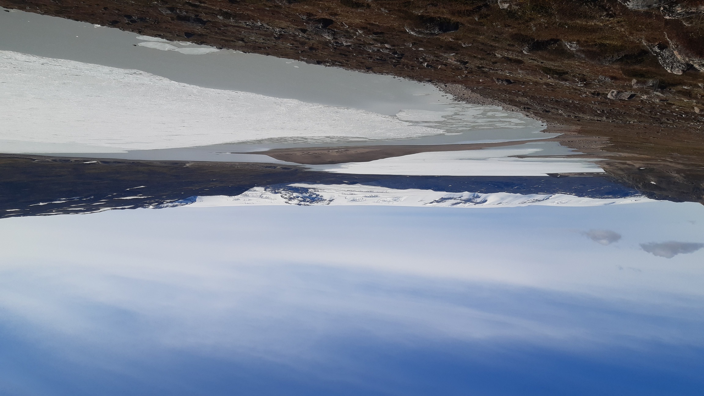
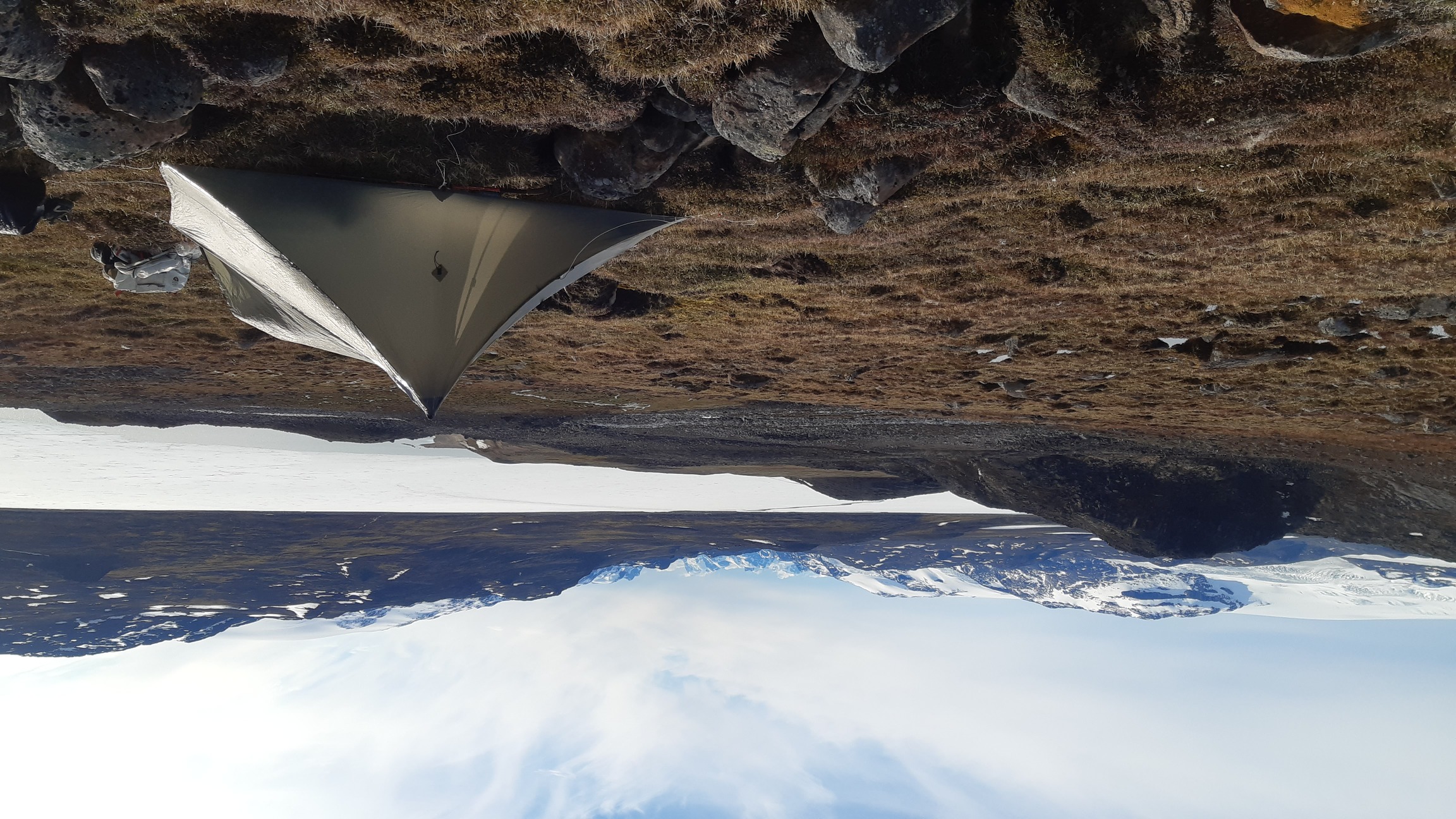
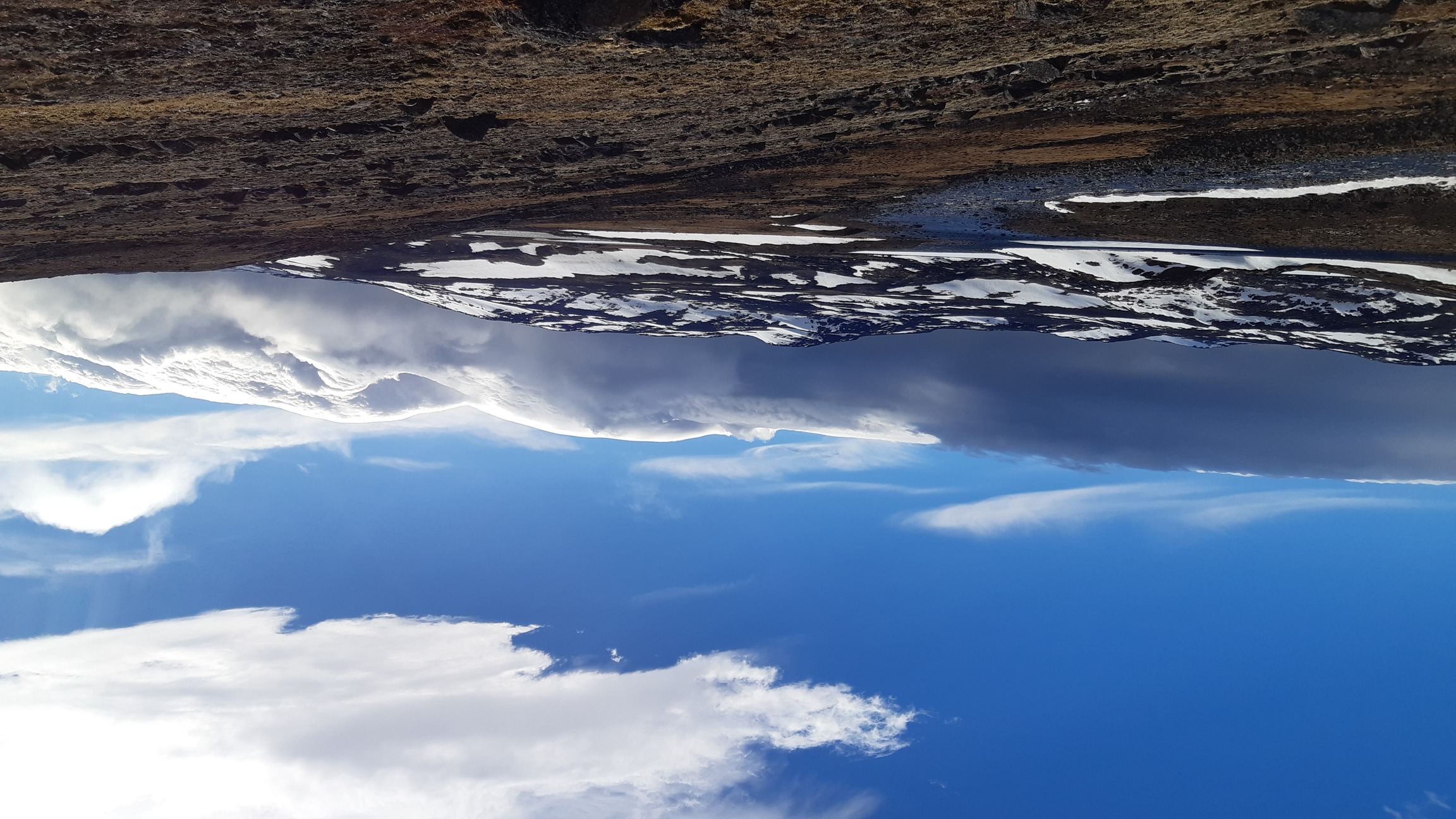
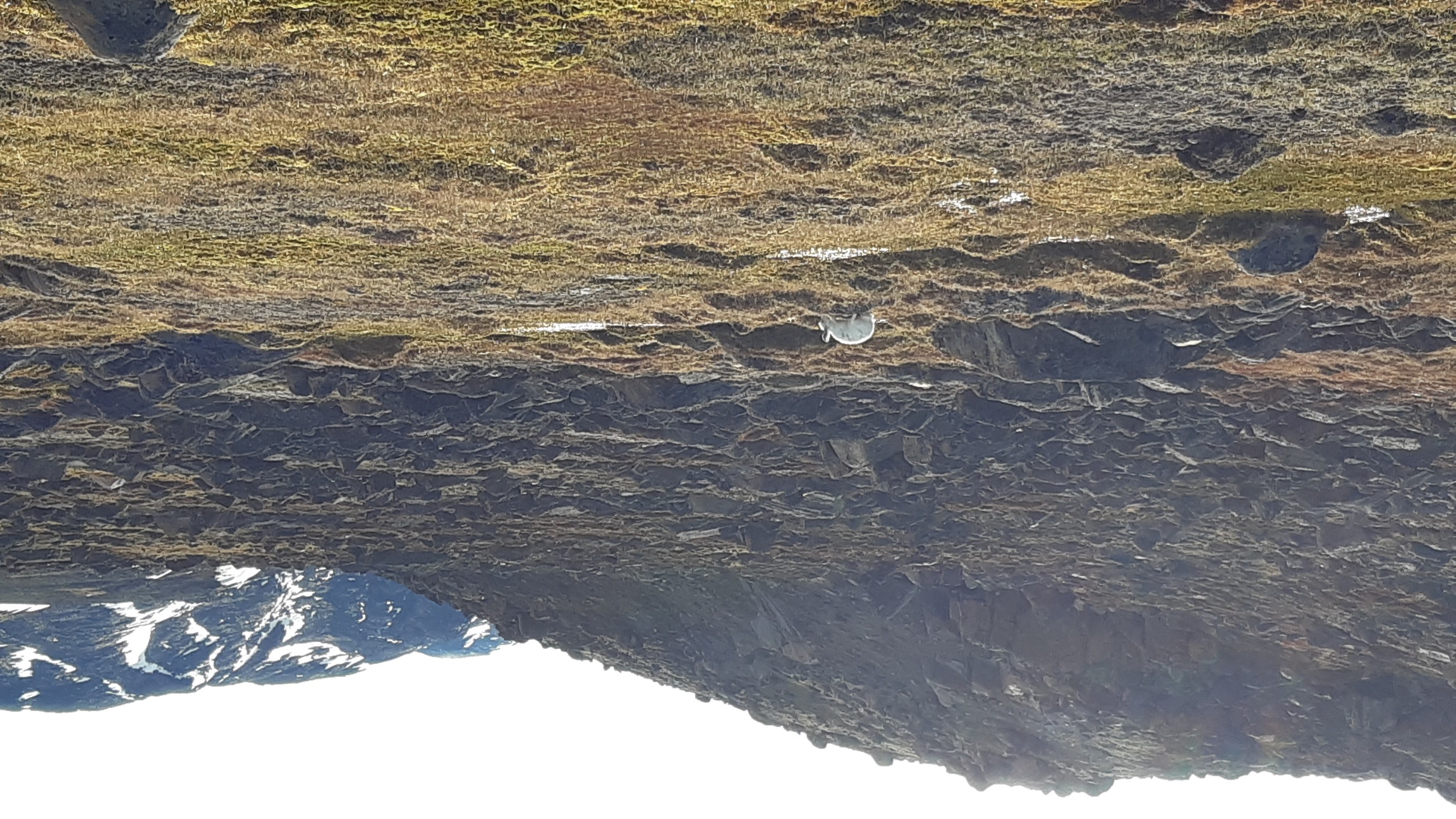
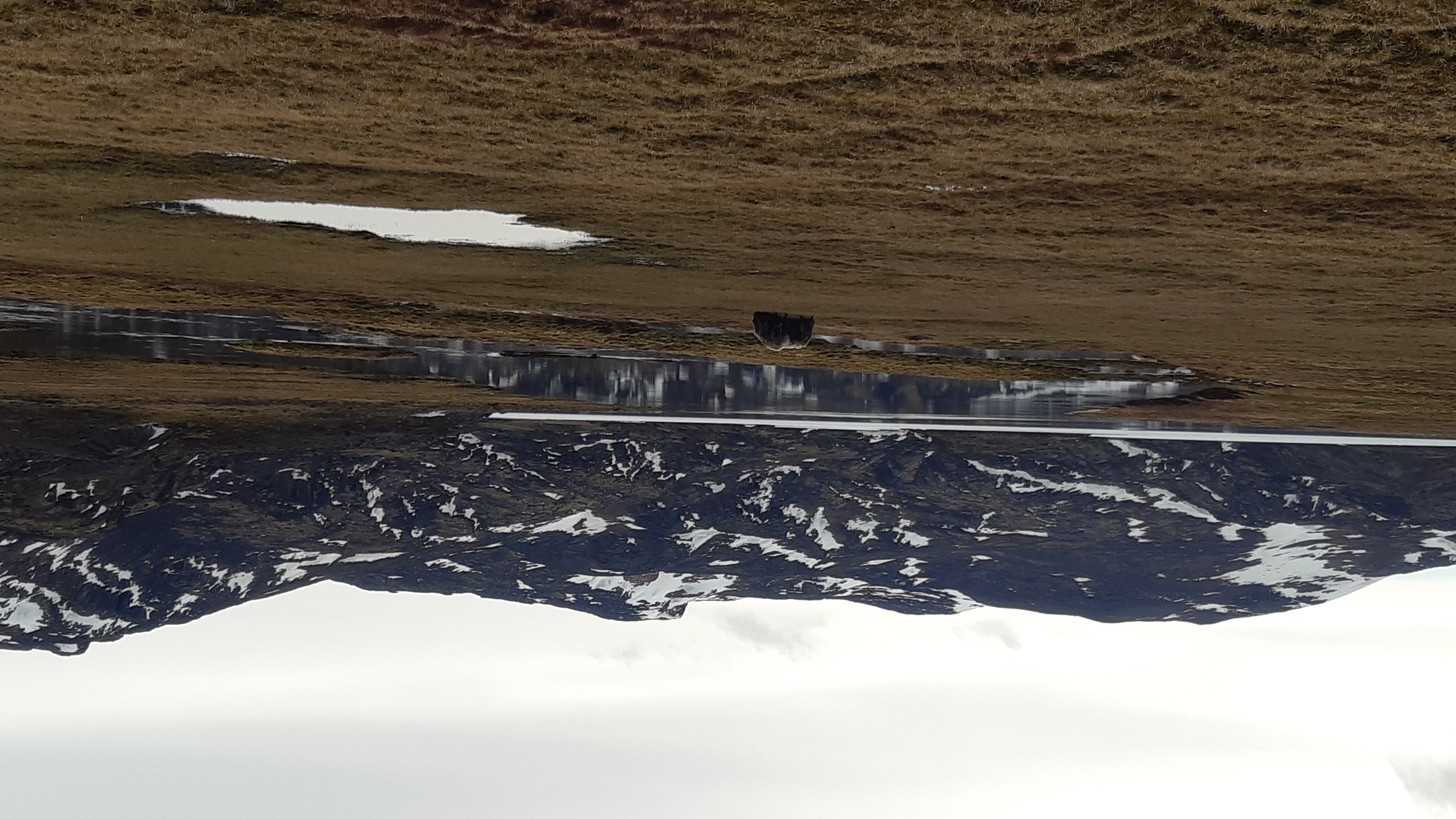
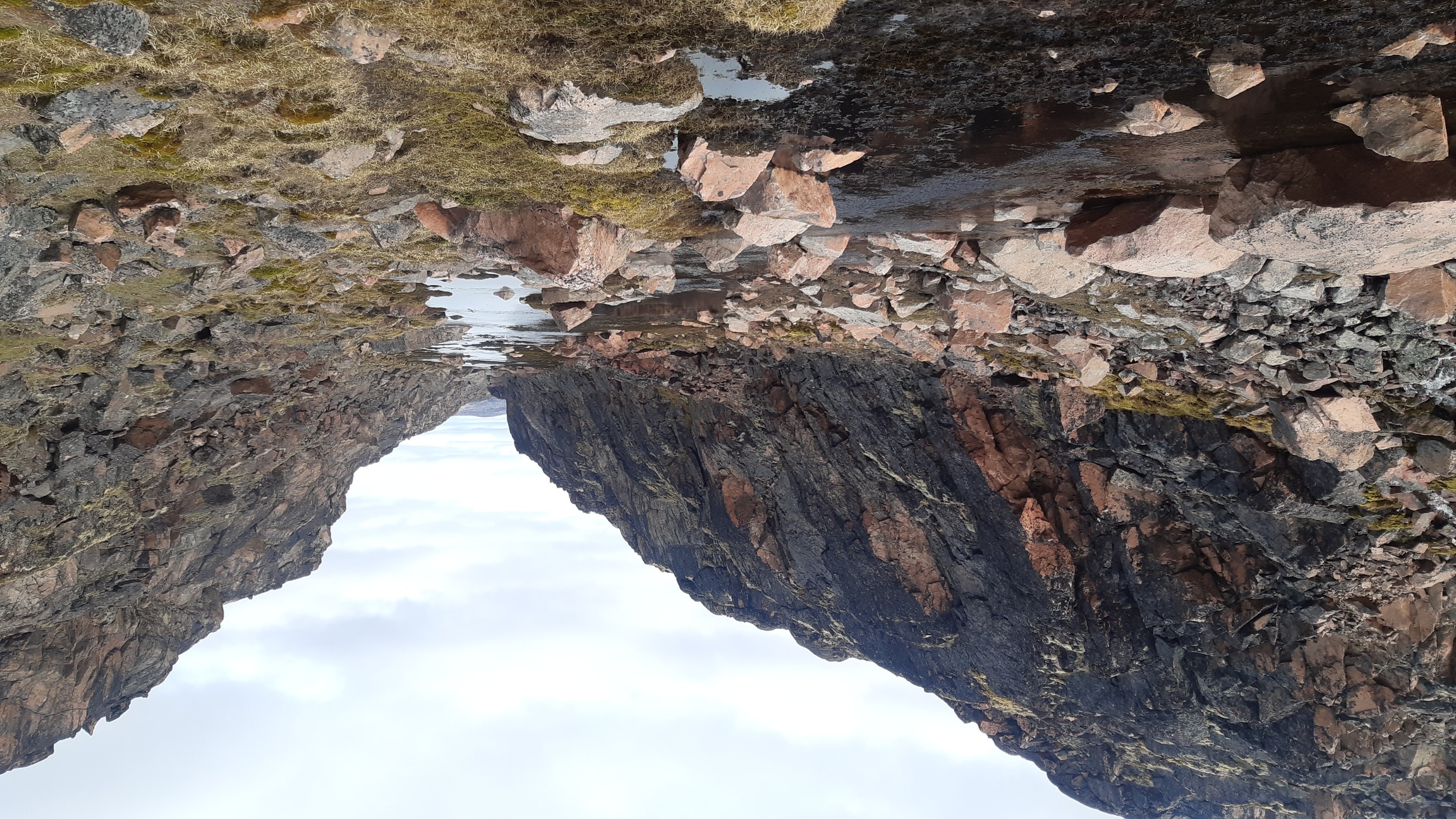
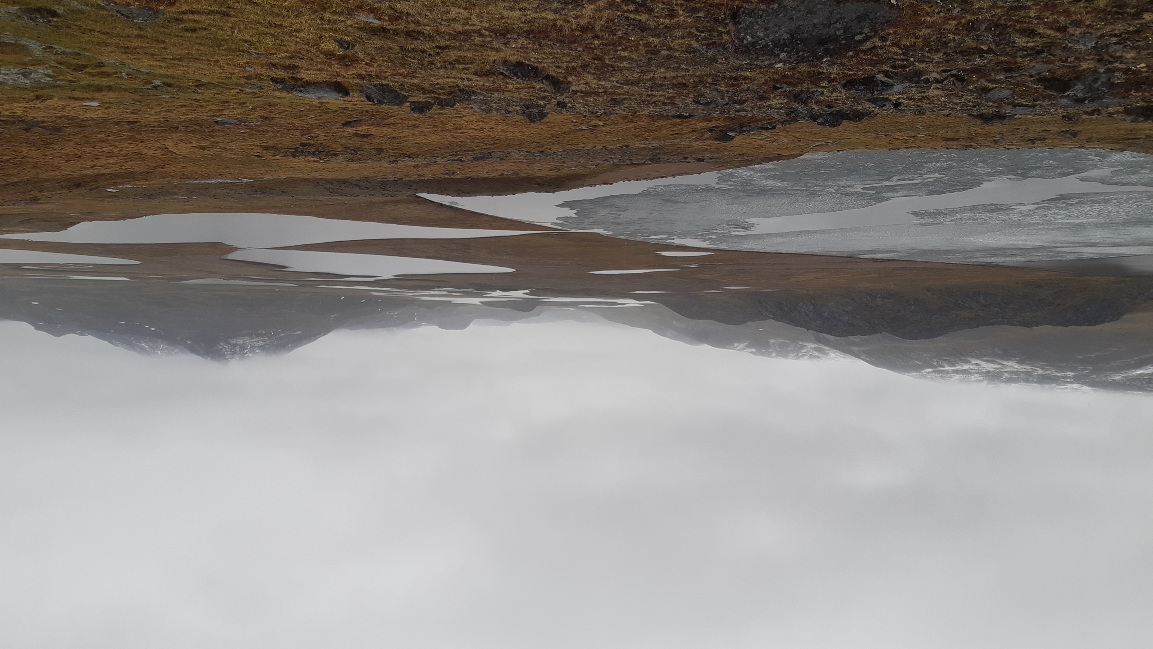
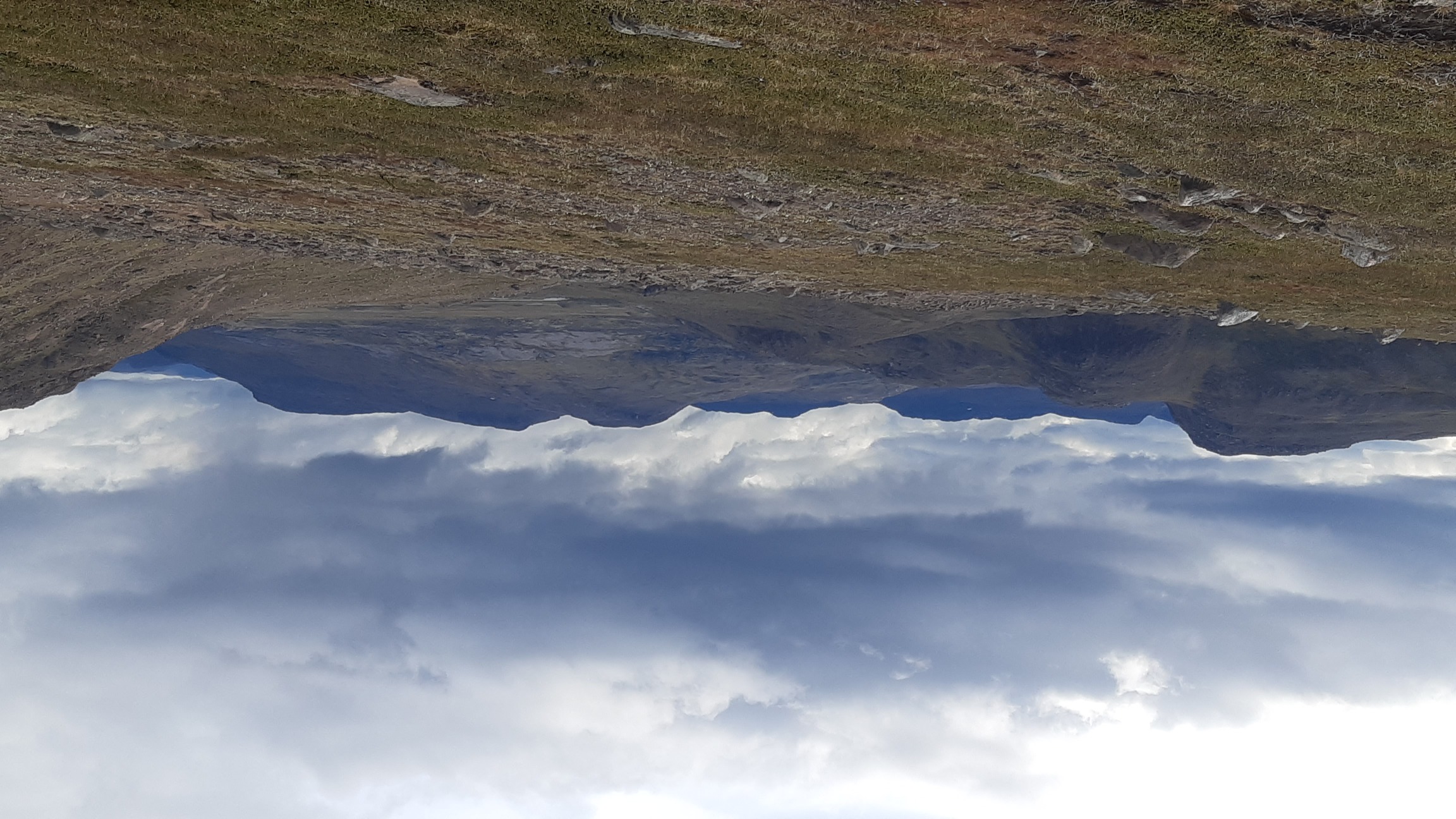
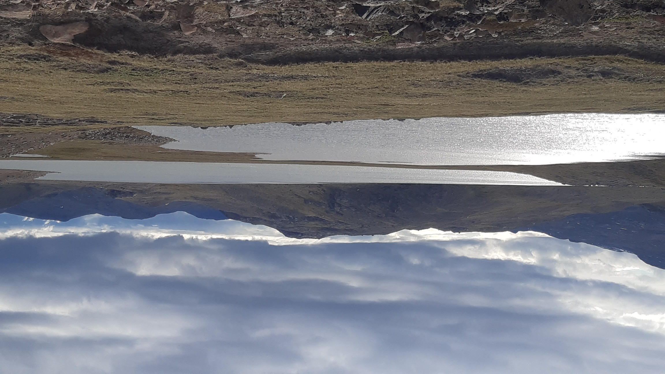
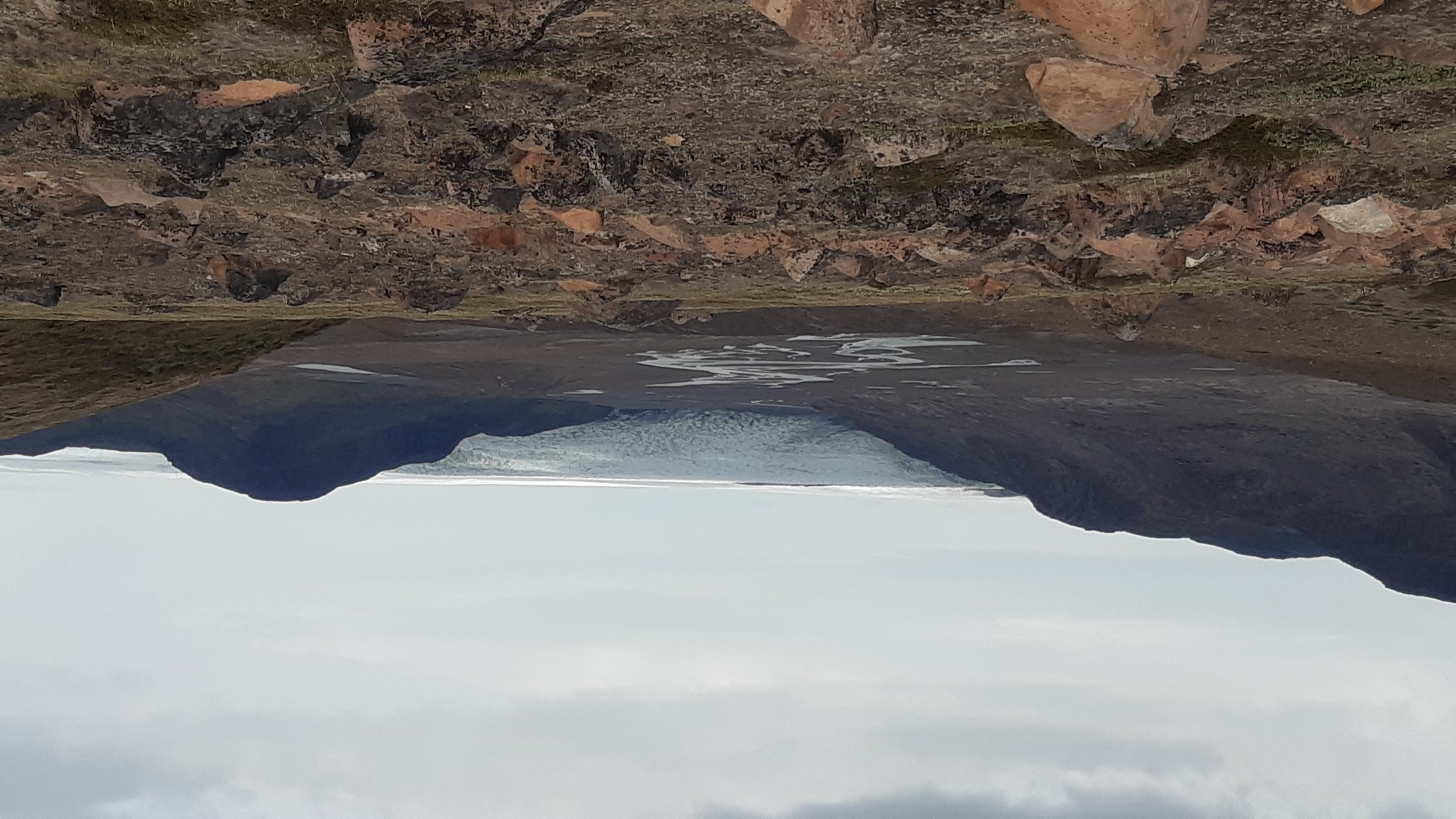
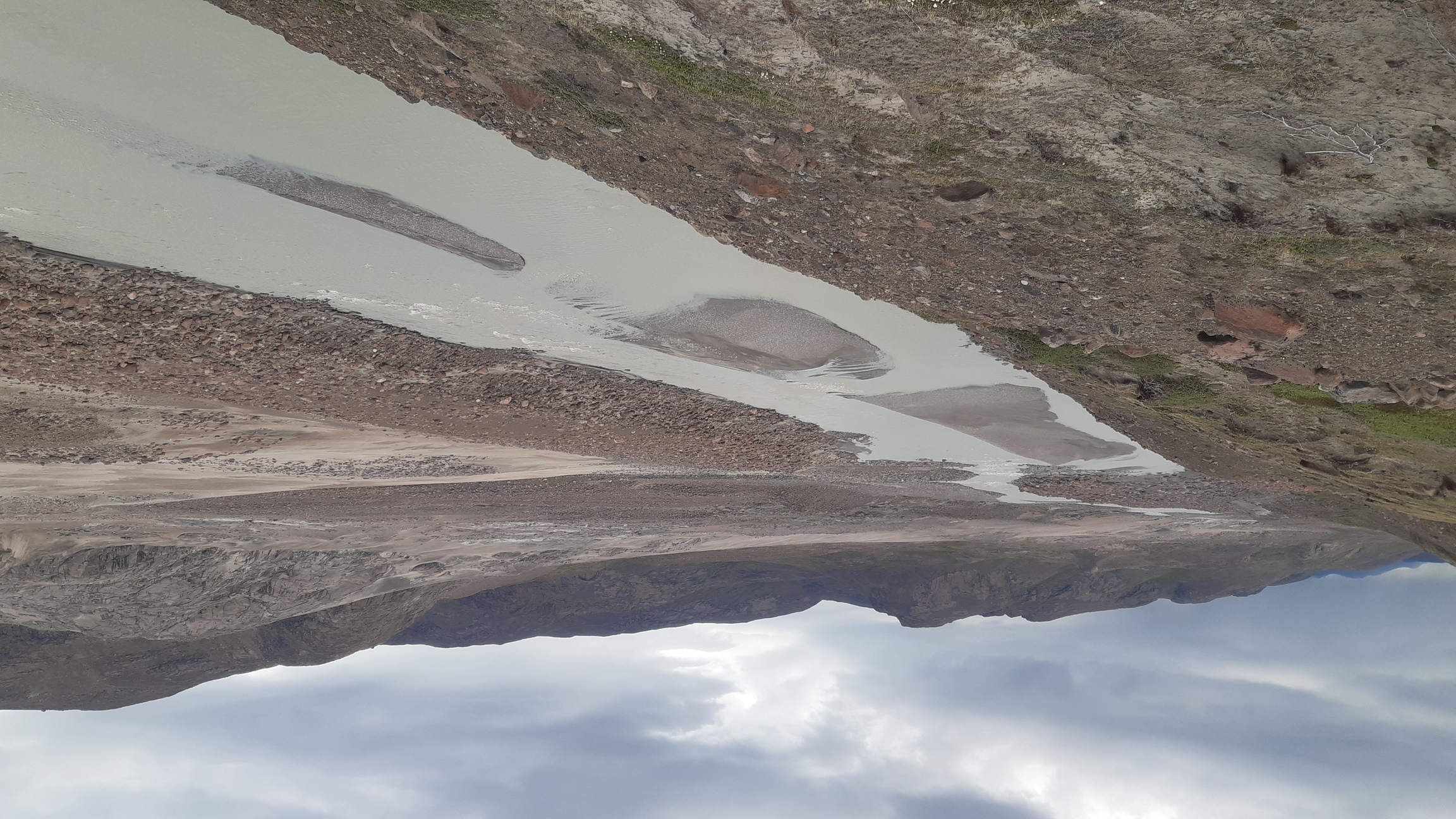
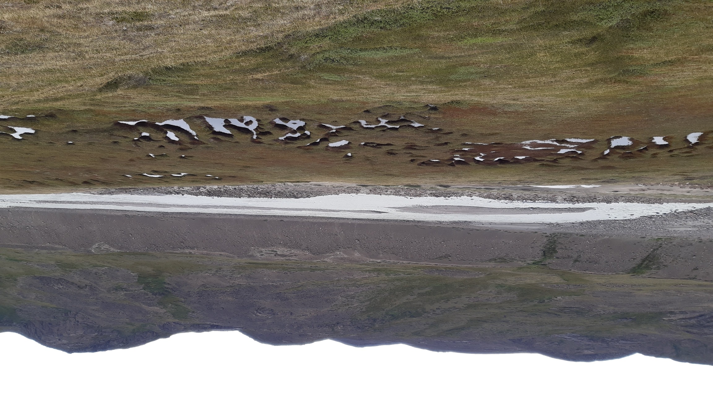
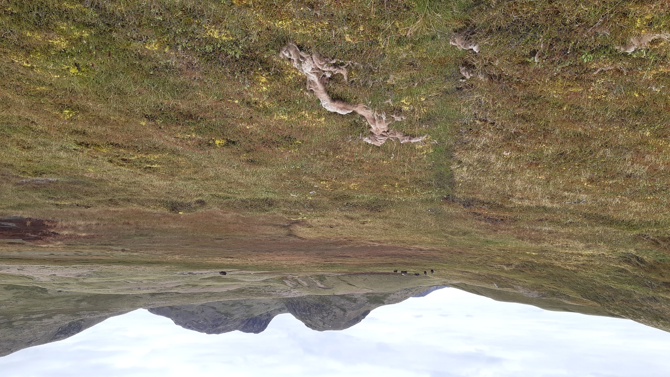
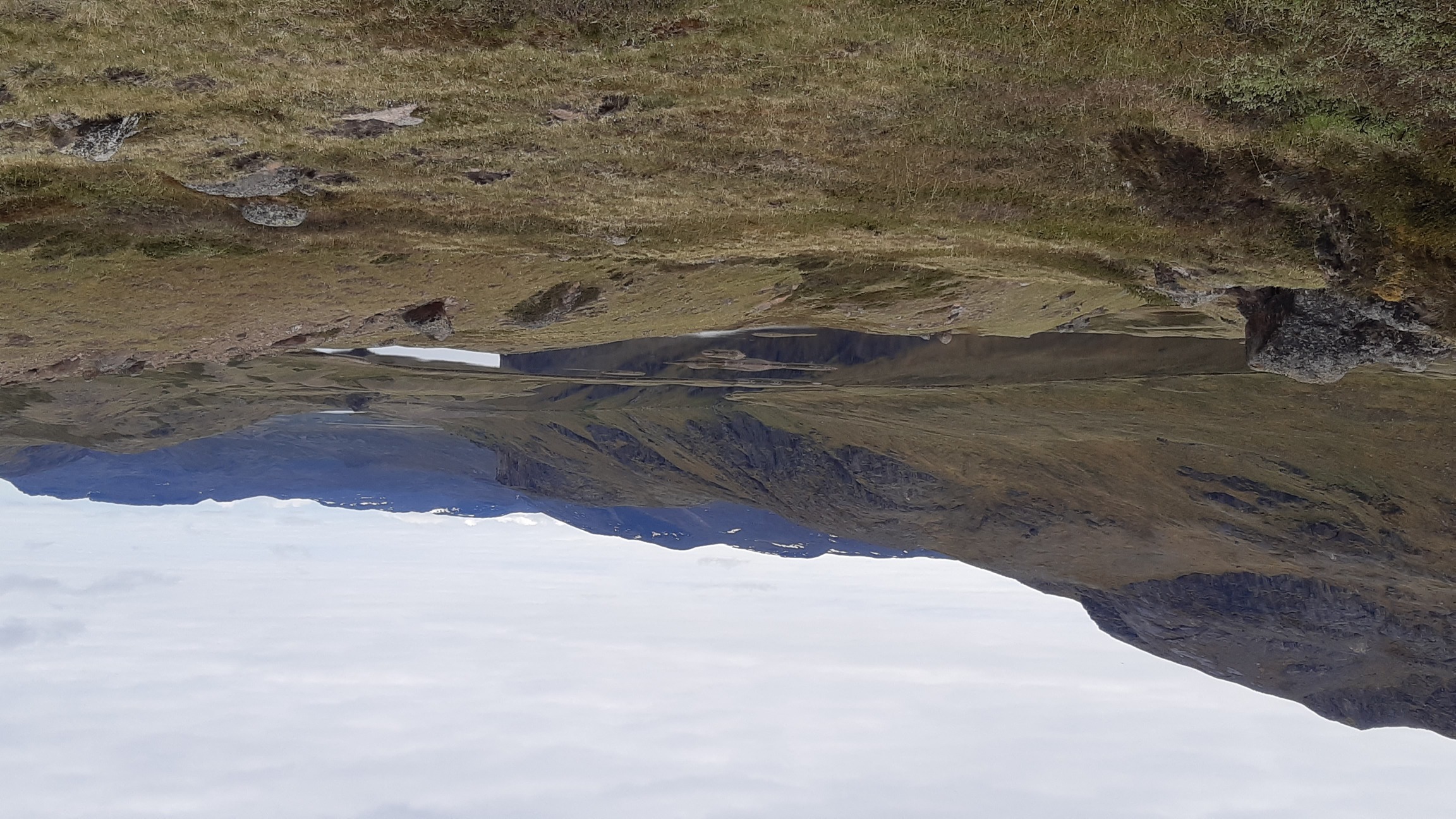
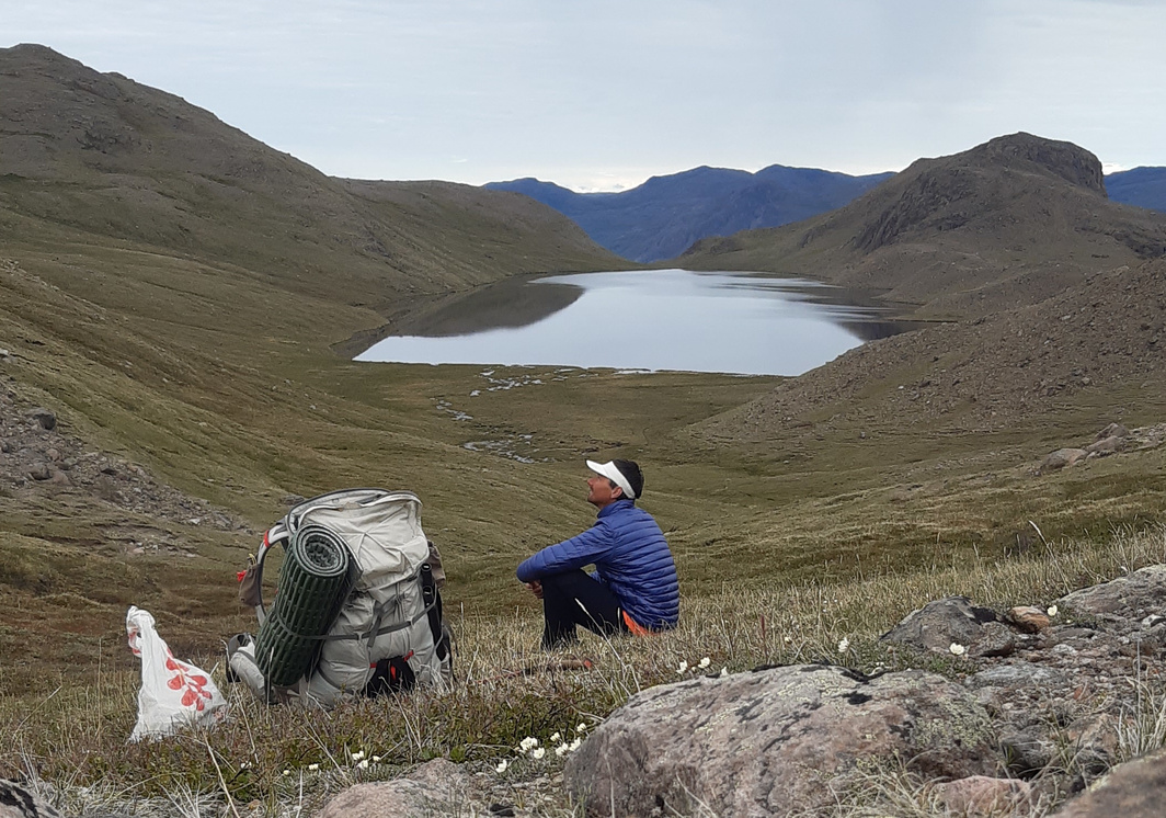
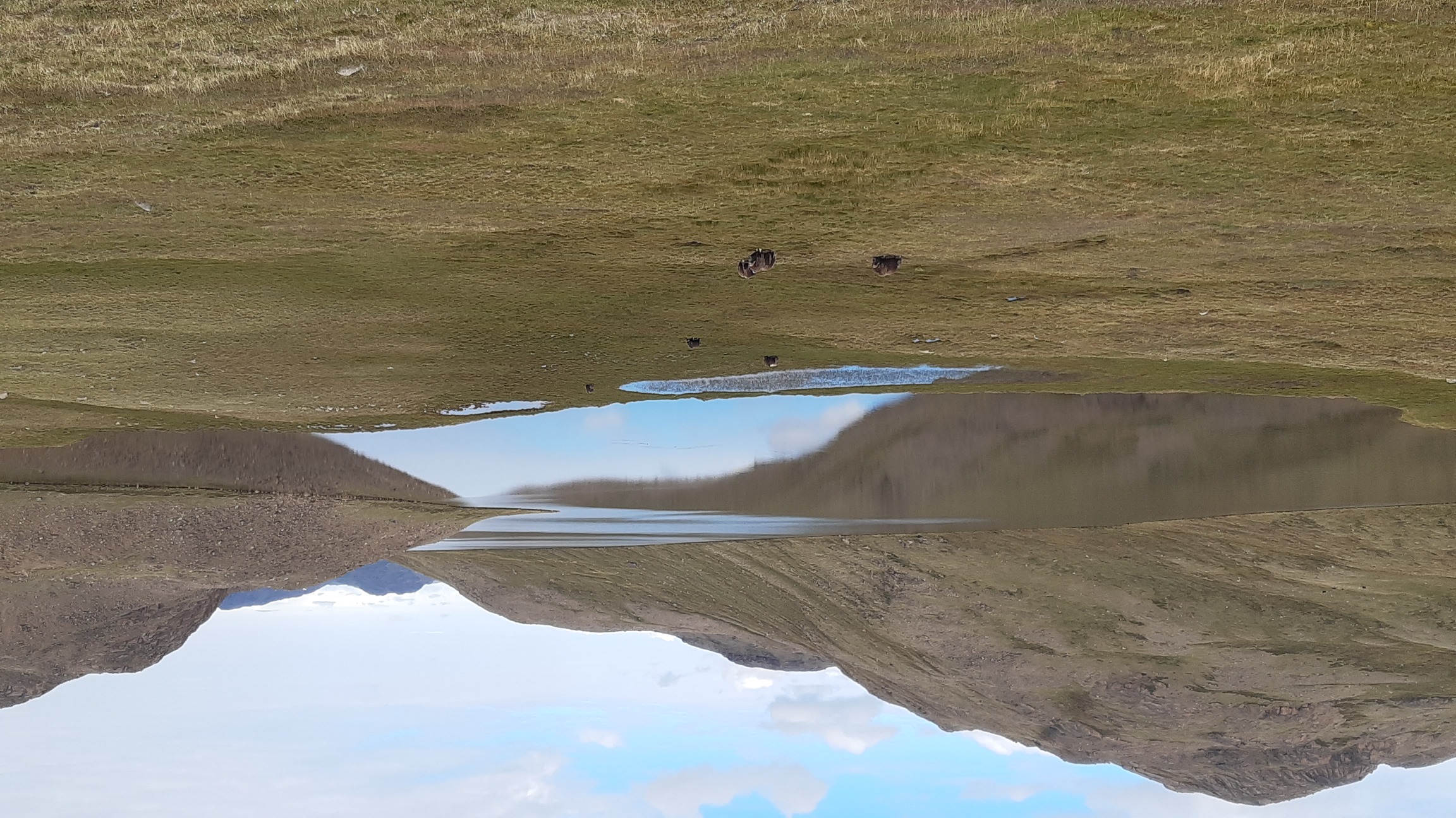
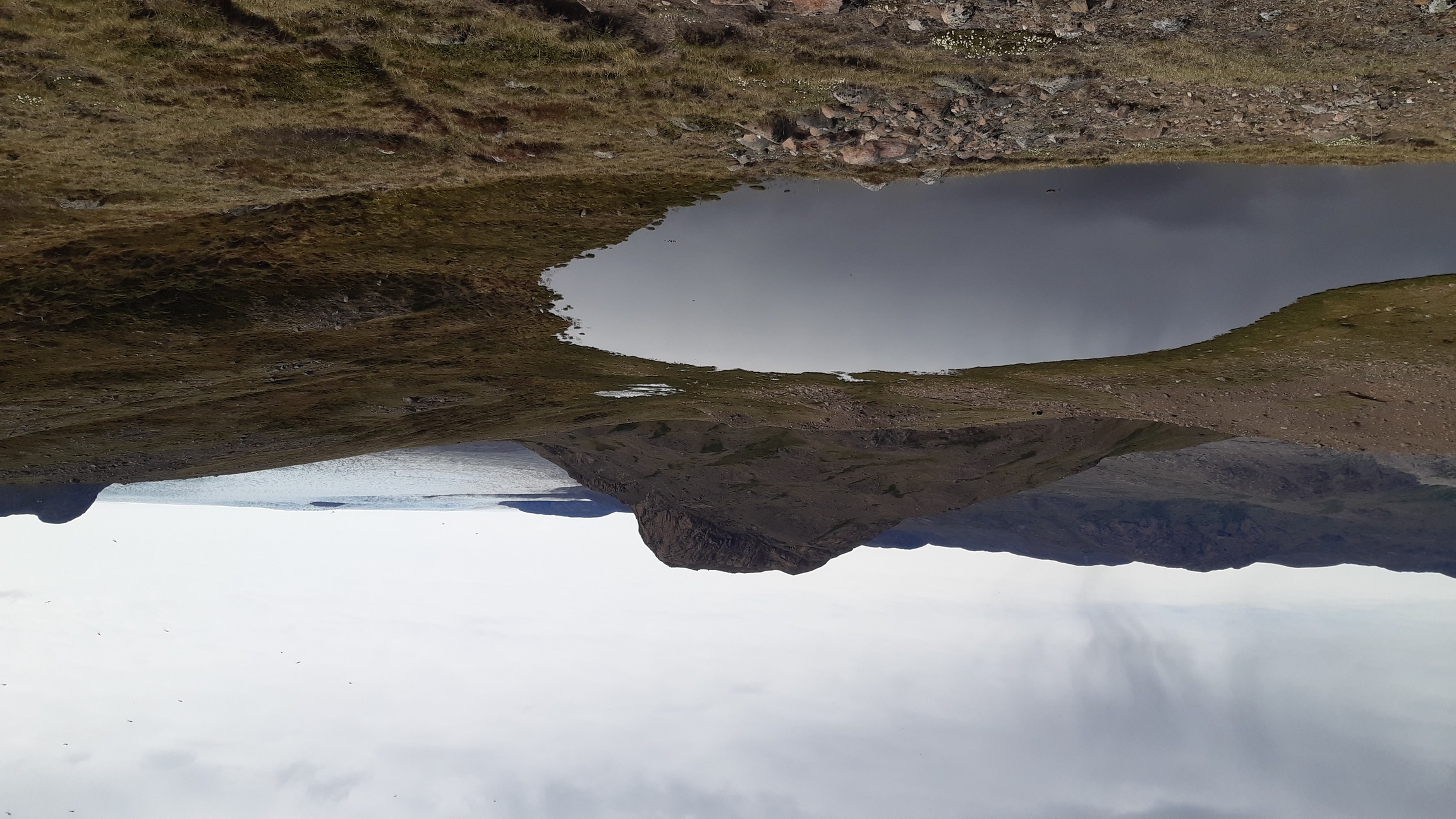
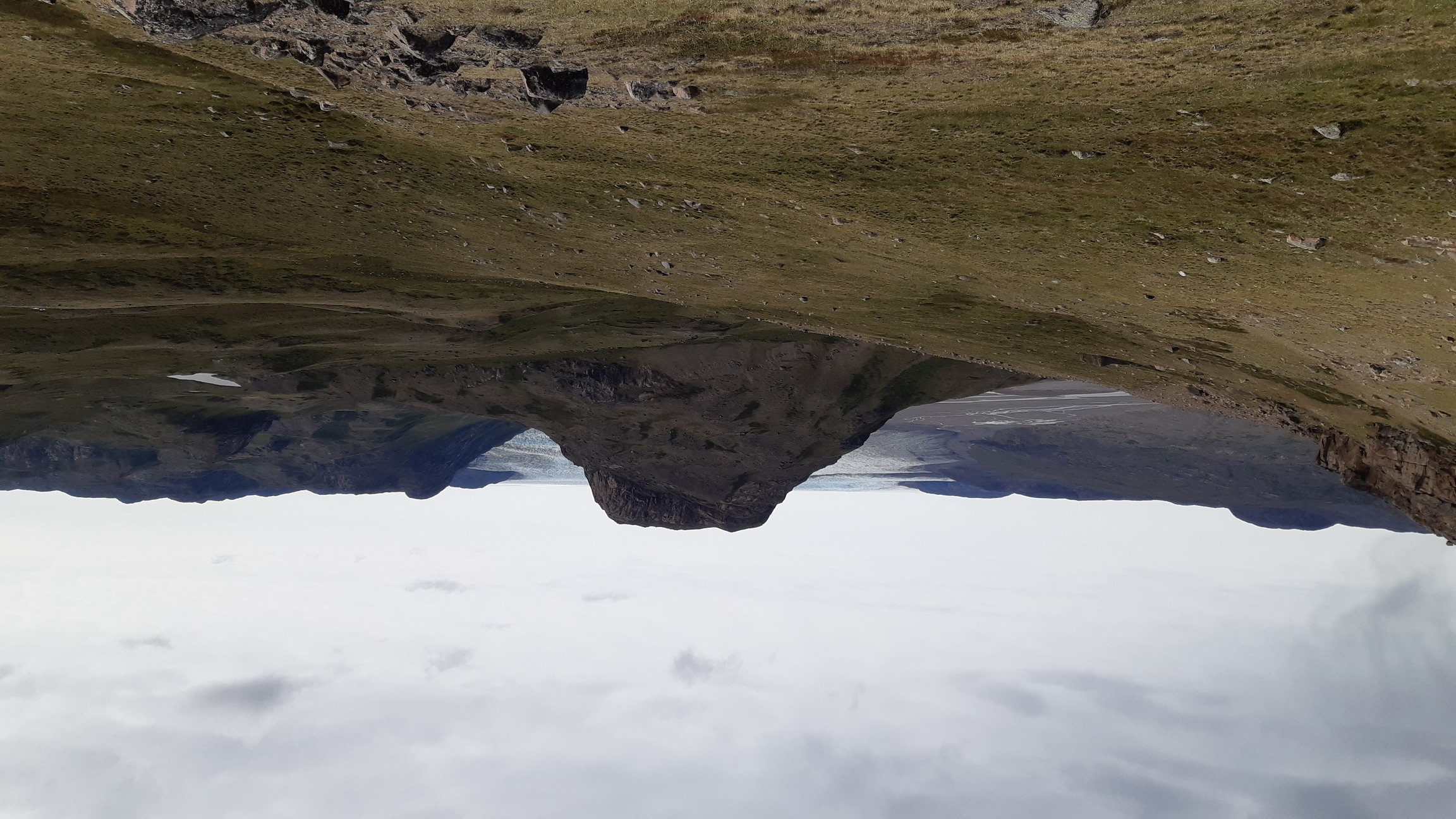
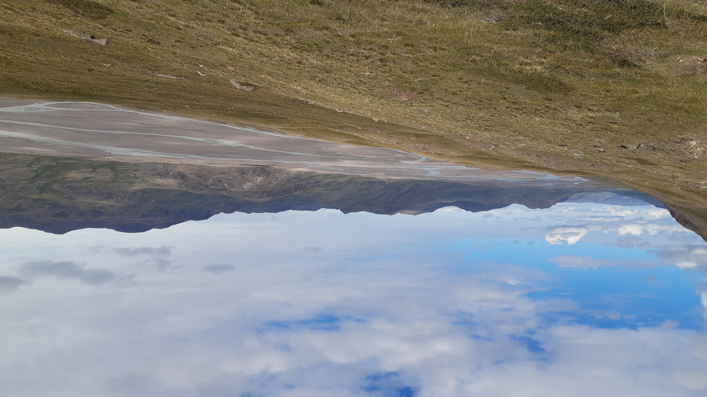
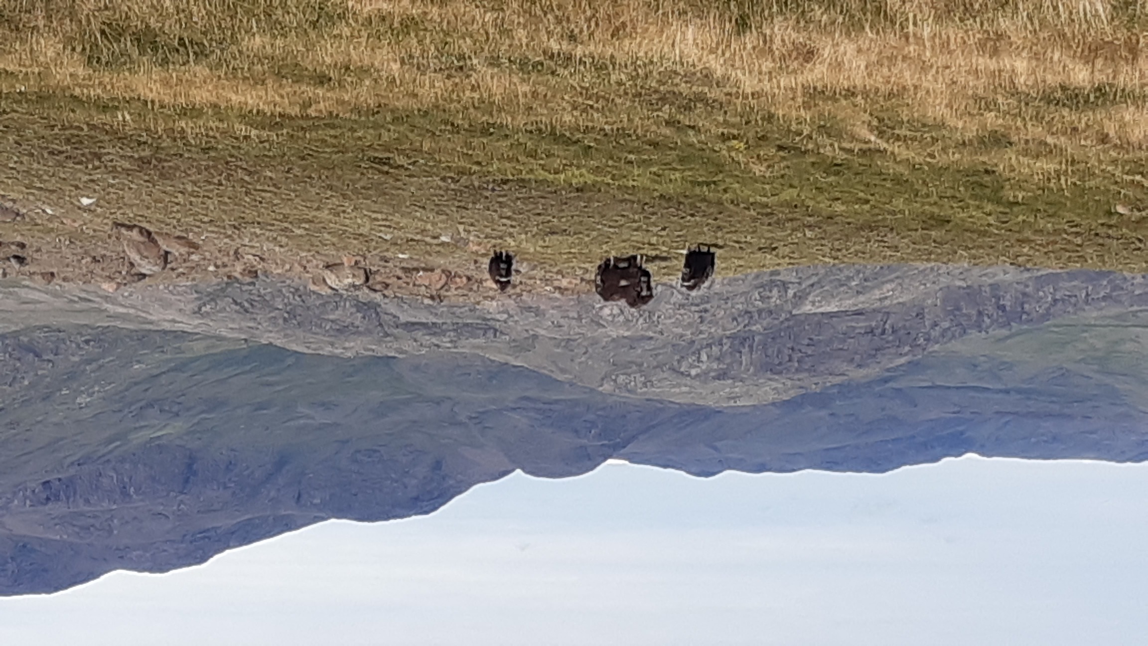
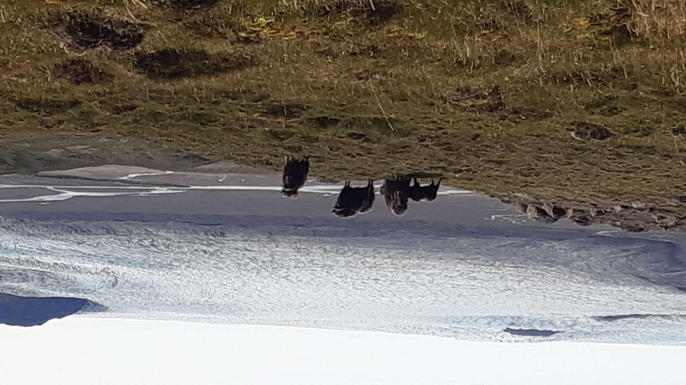
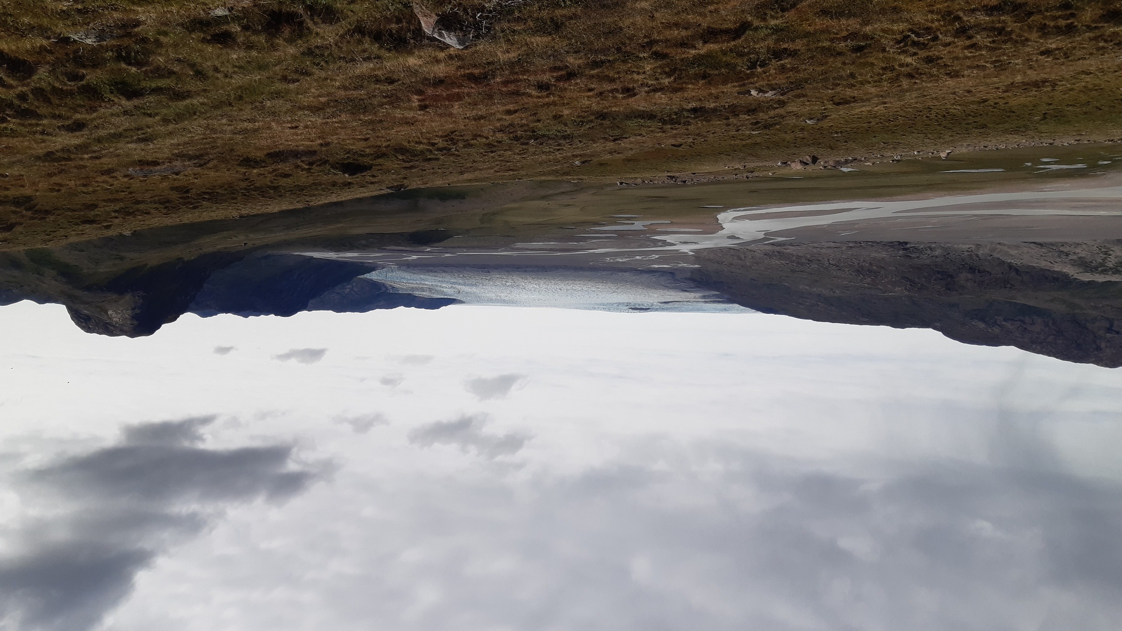
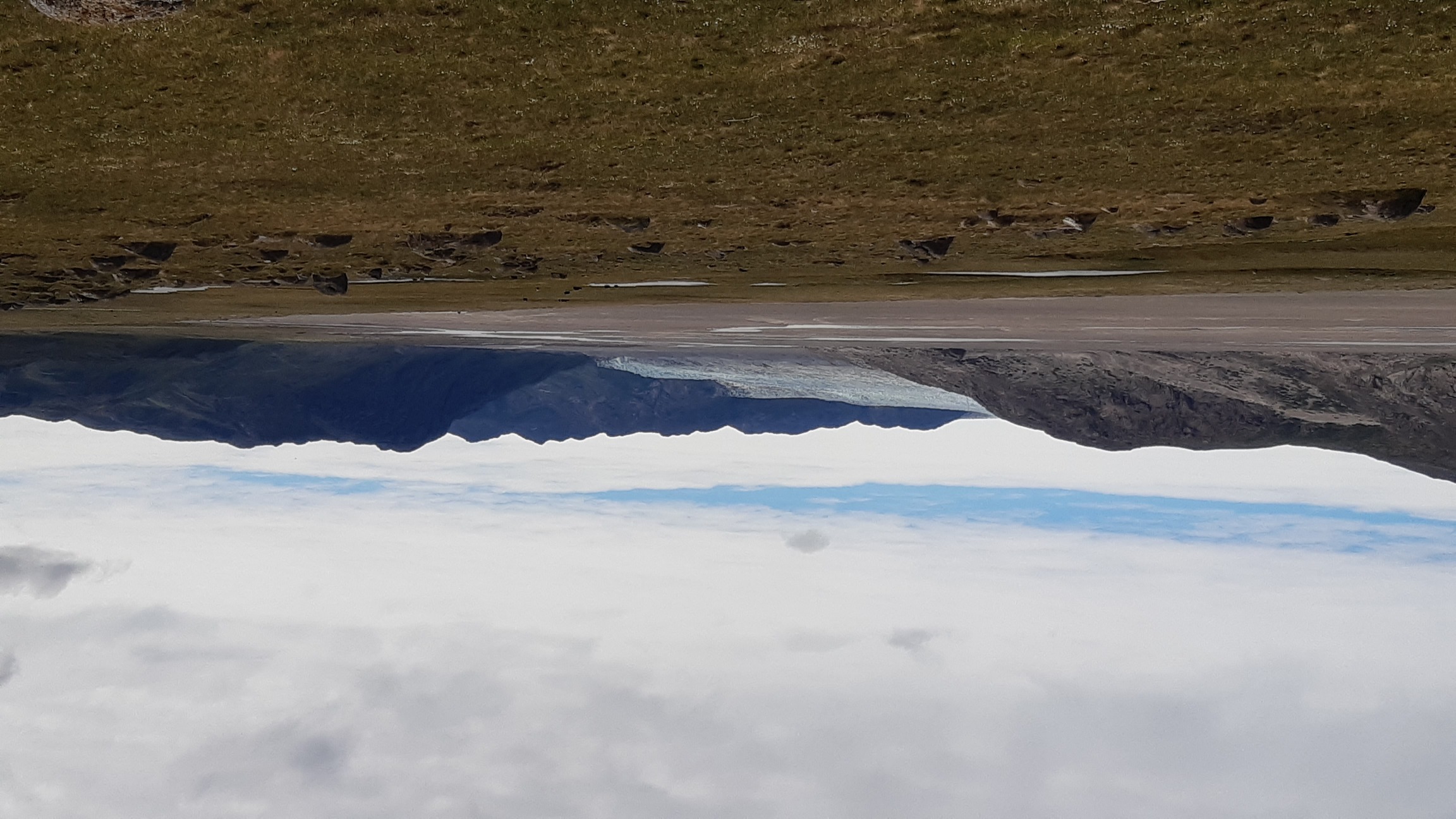
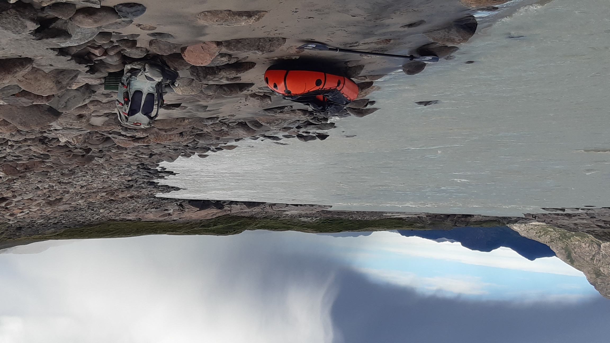
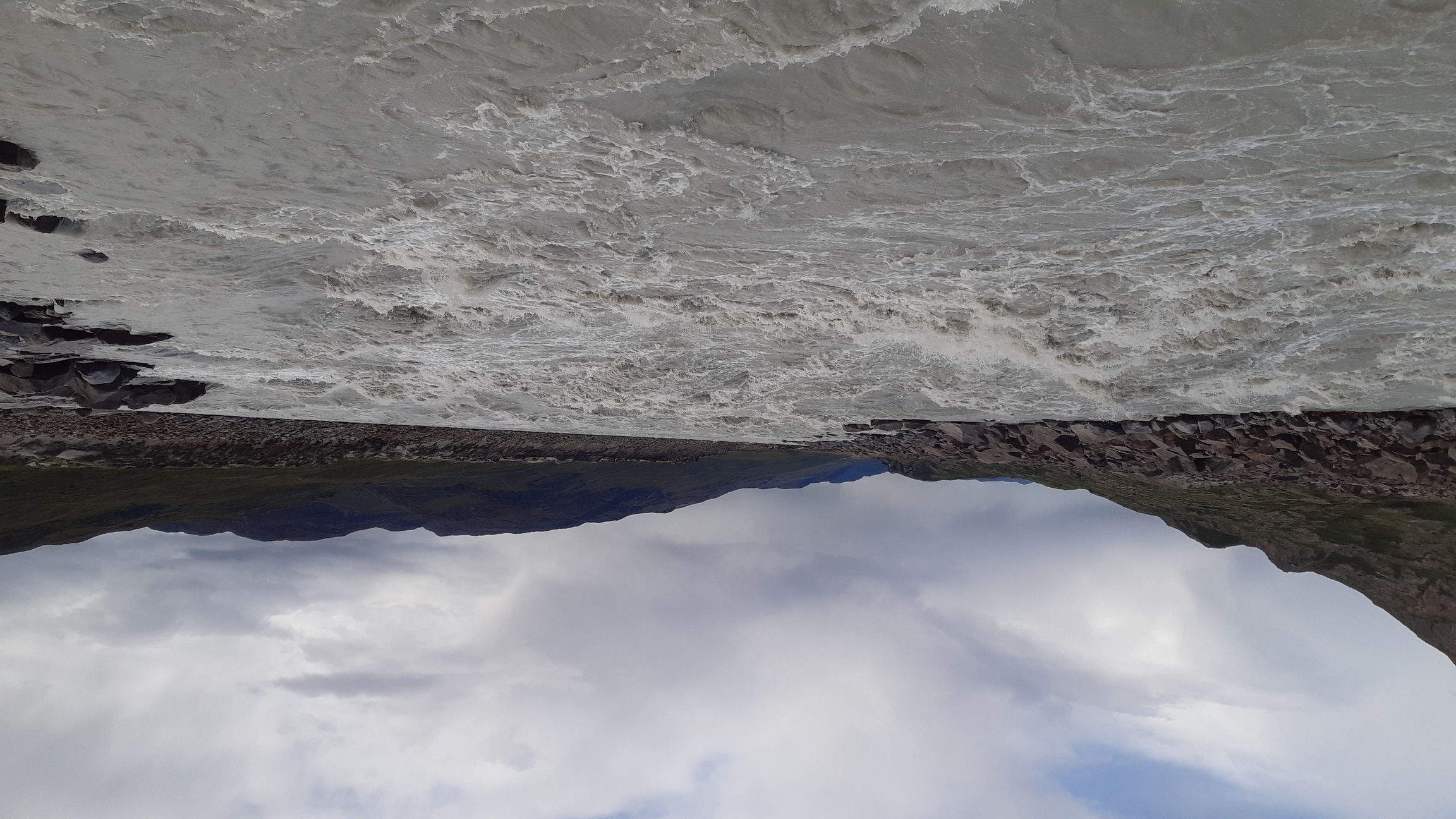
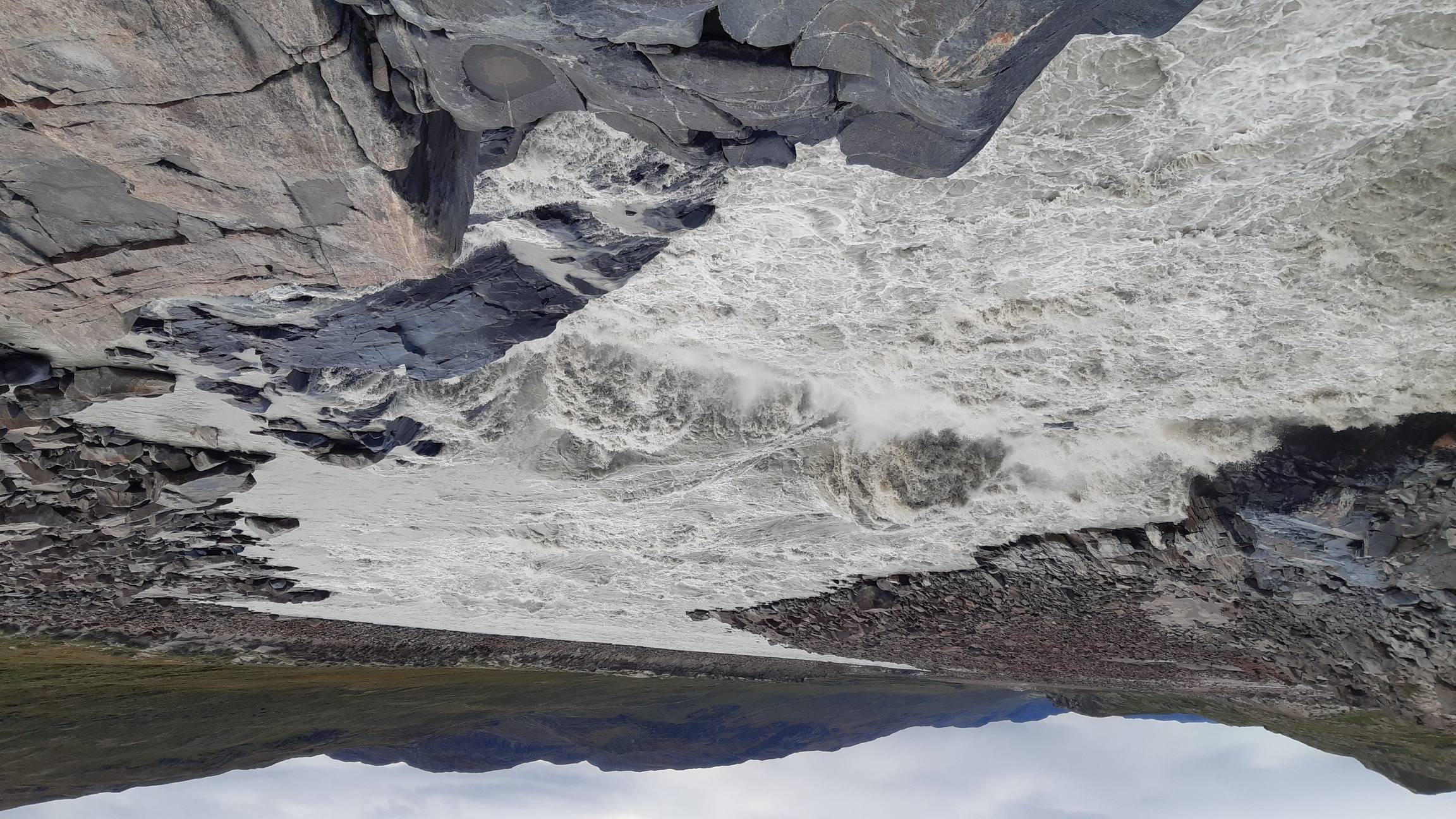
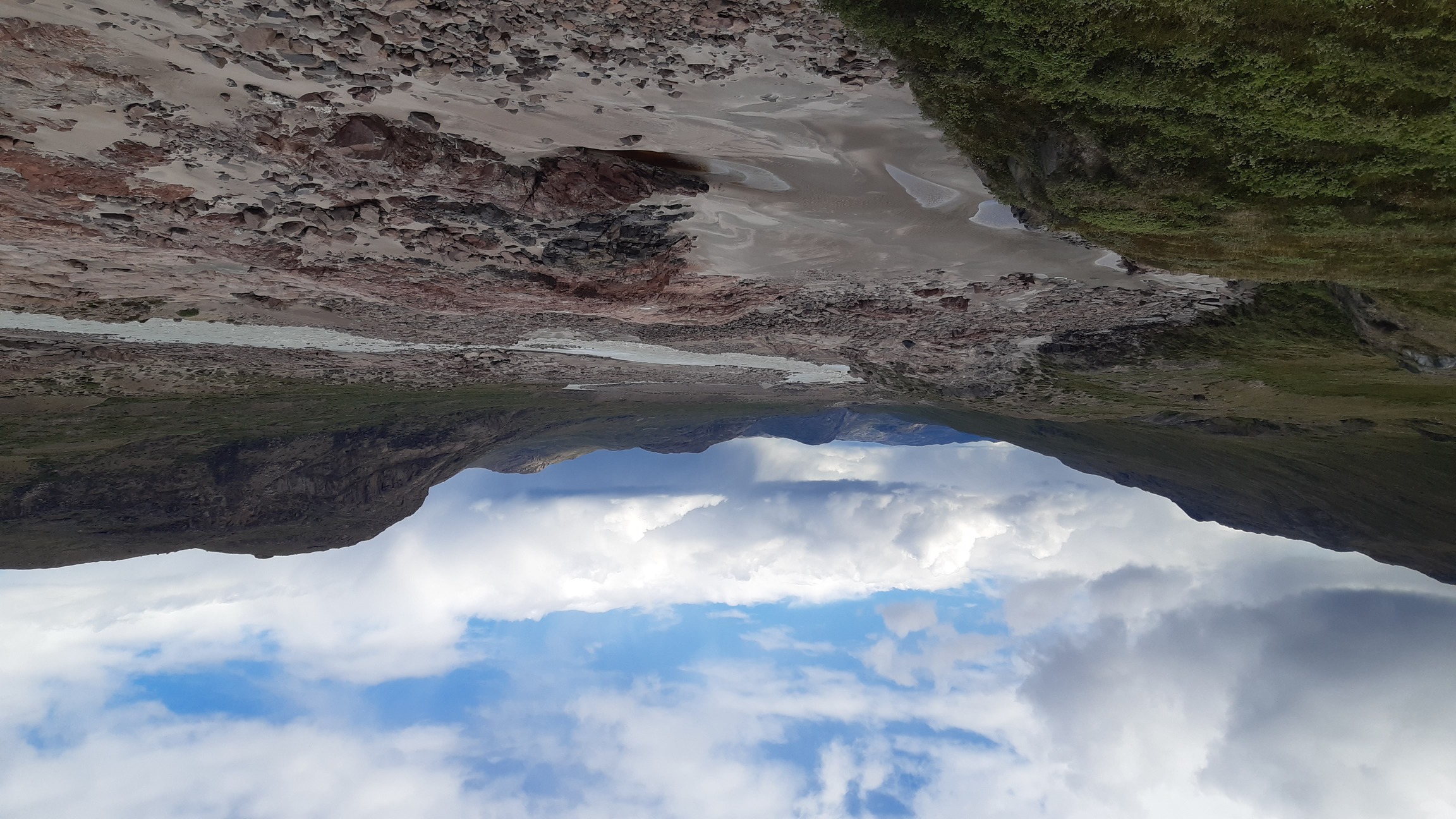
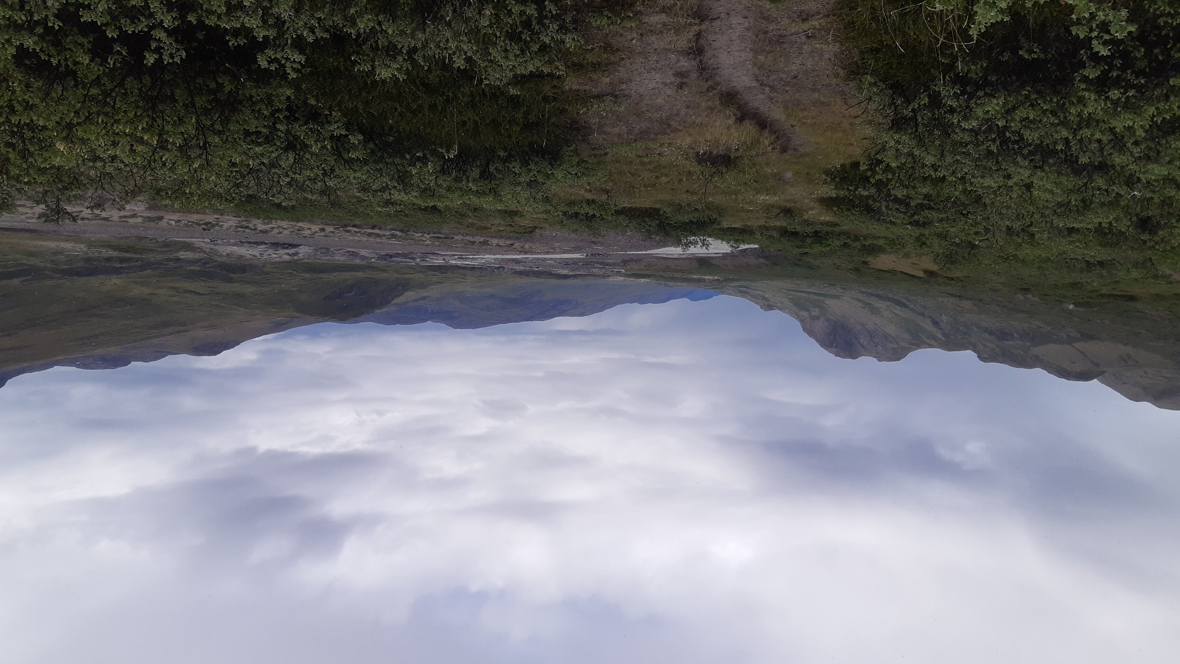
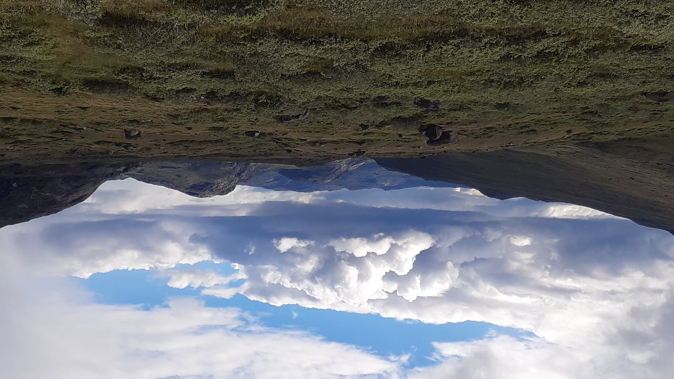
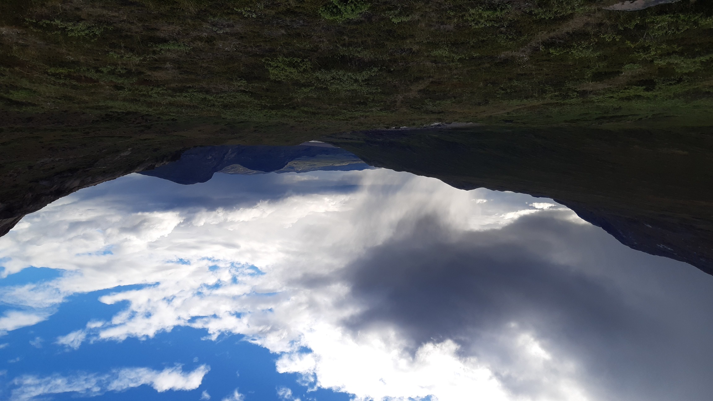
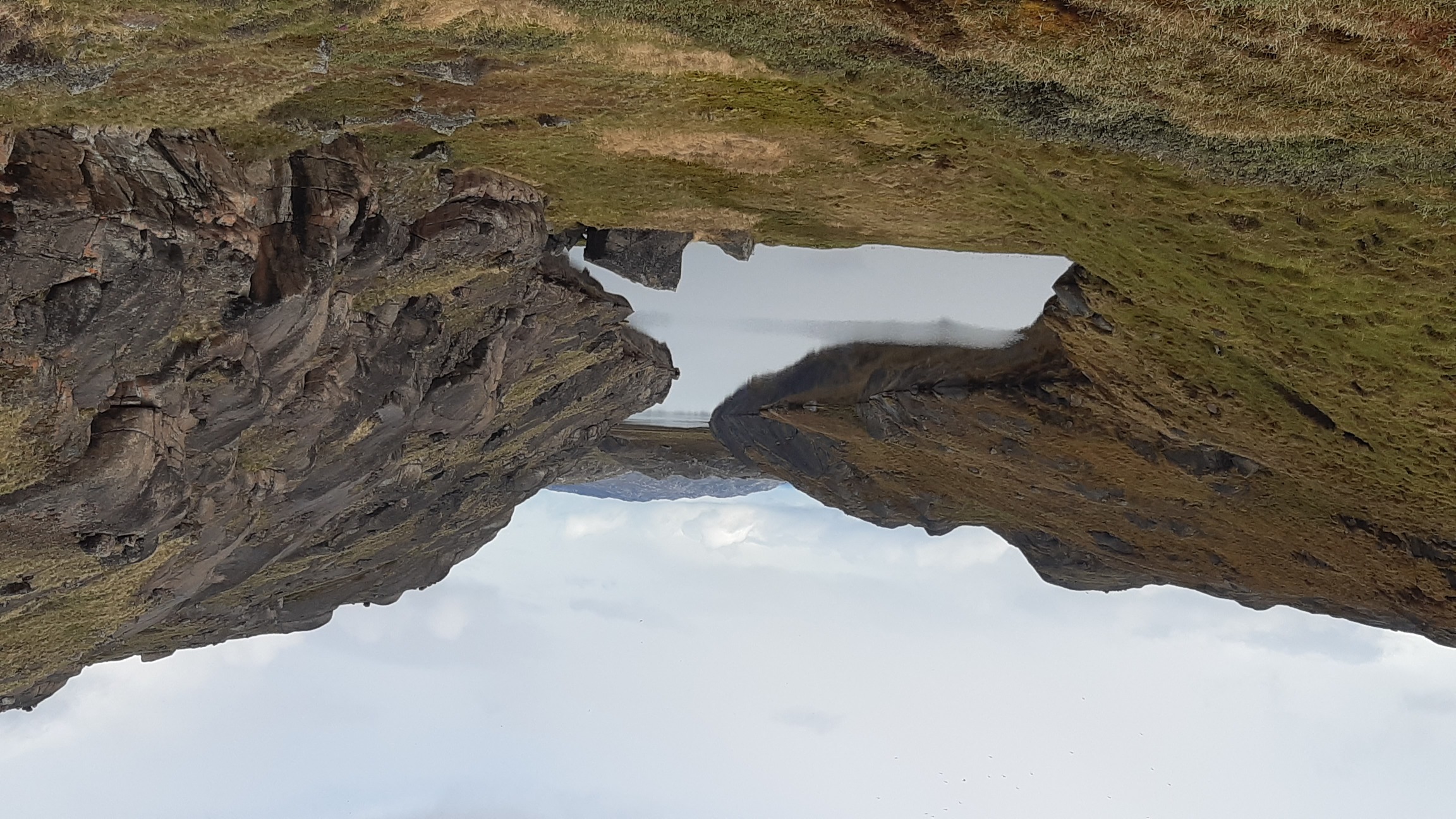
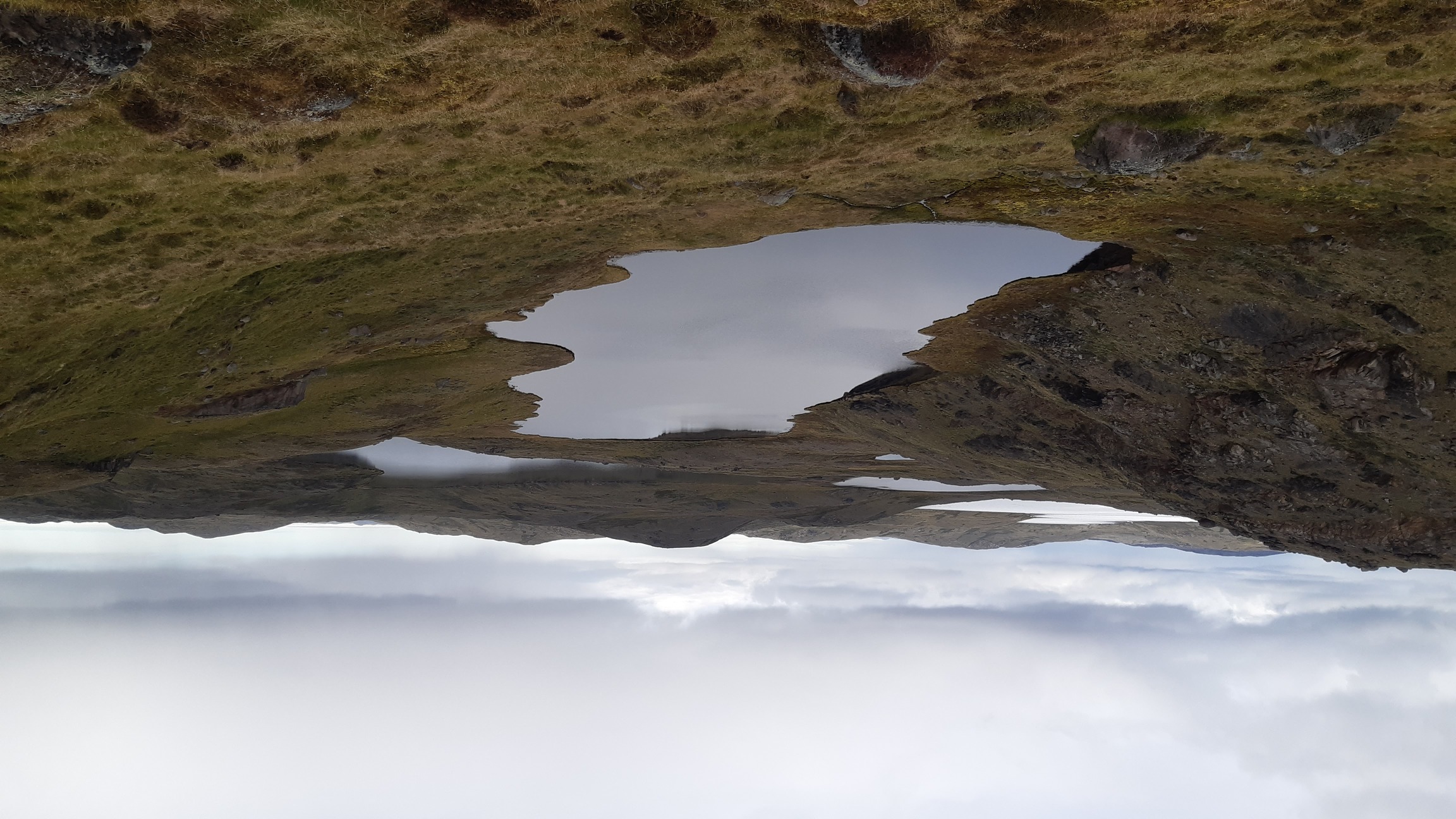

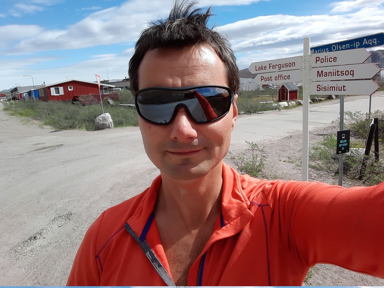
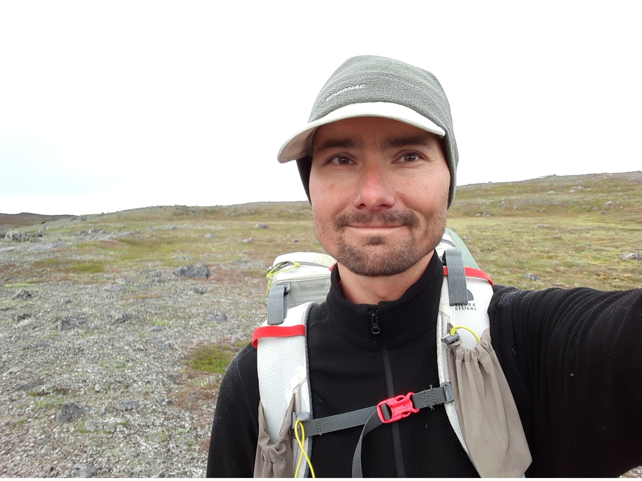
Me before and after the trip:
 |
 |
Technical tips
Dangers and annoyances
- Difficult terrain
I expected Greenland to resemble Iceland, but in fact it feels much more like northern Scandinavia in terms of geology, flora and fauna, and general landscape. There are the following common types of terrain in south-west Greenland:
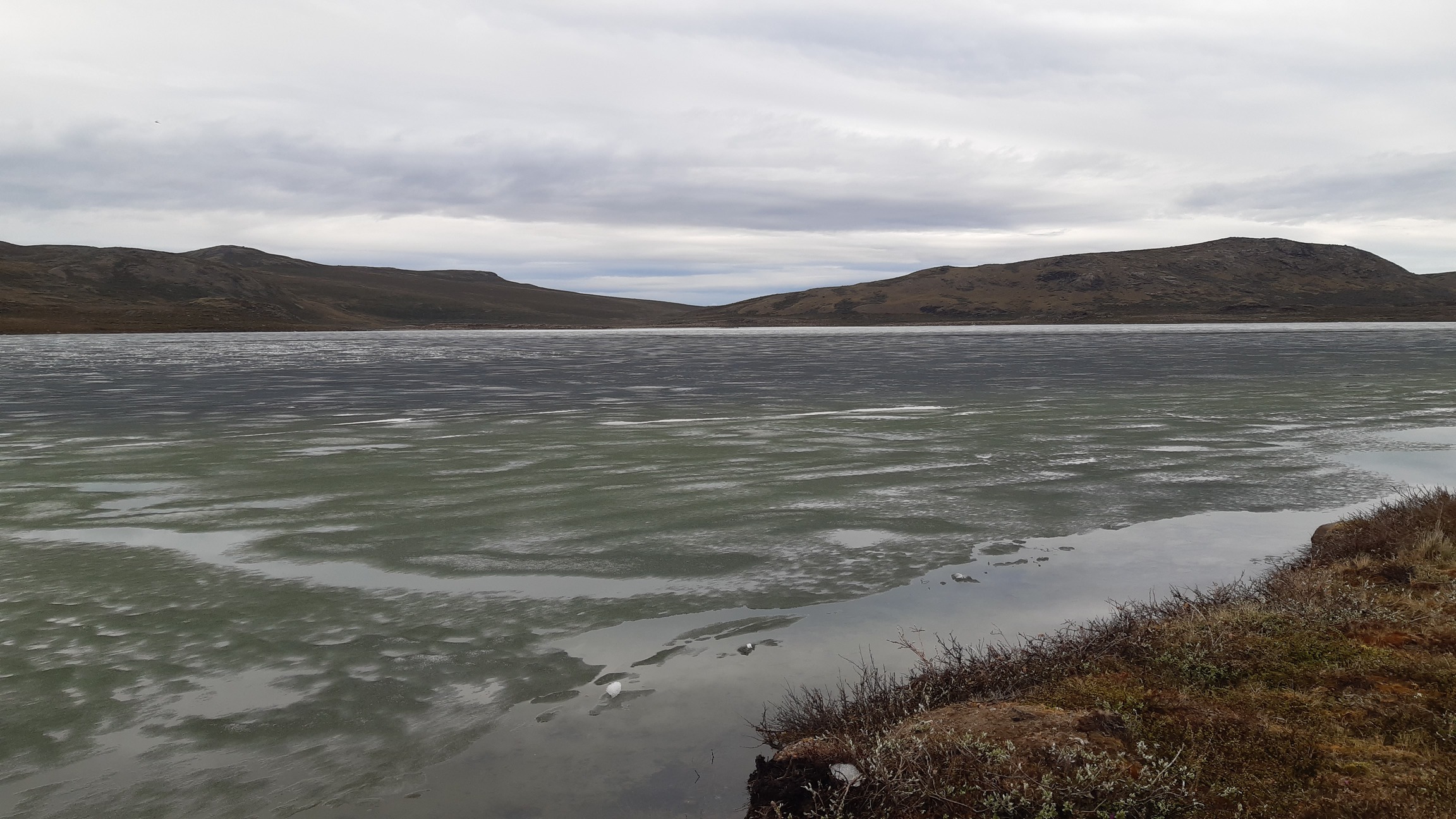
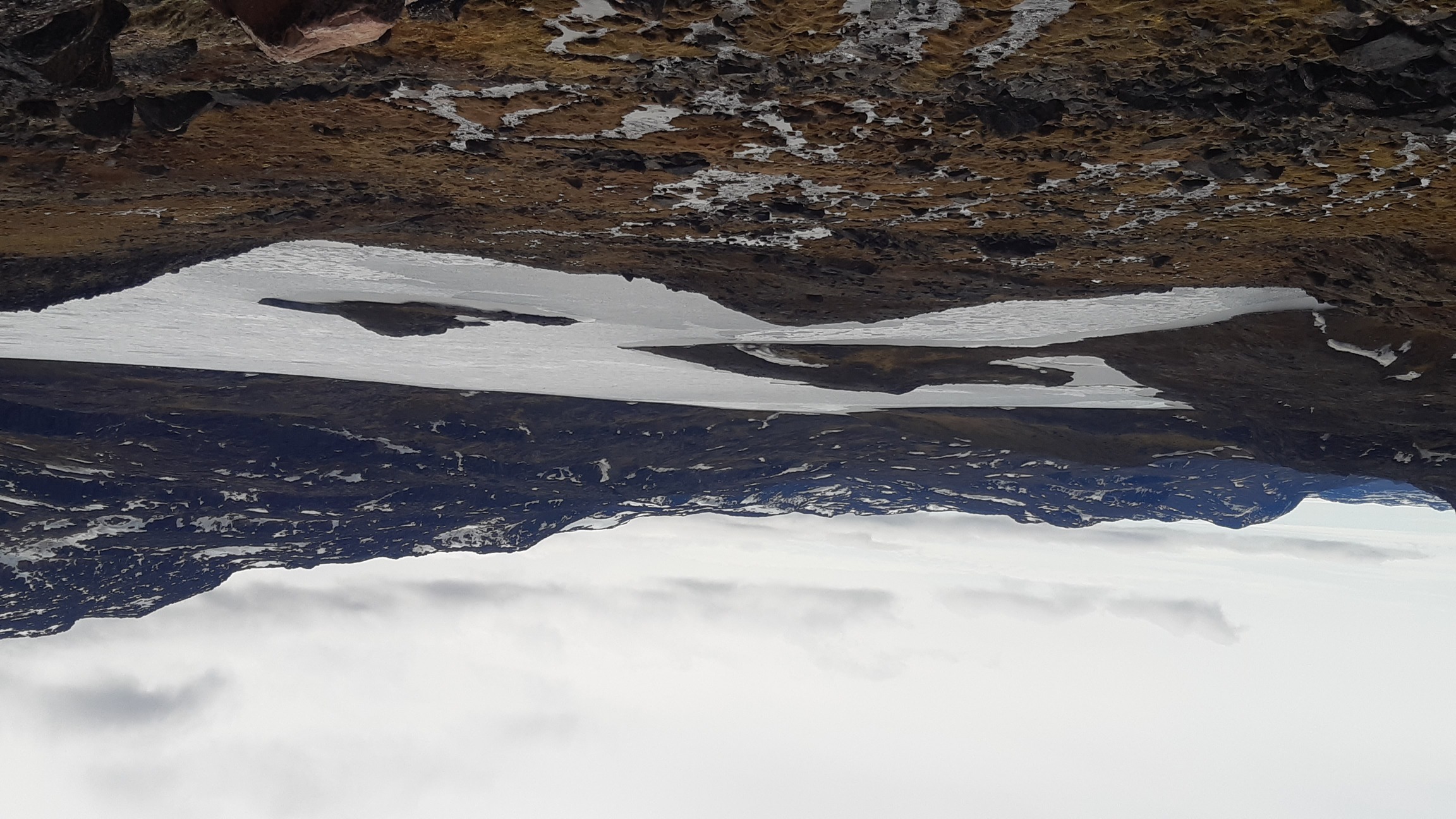
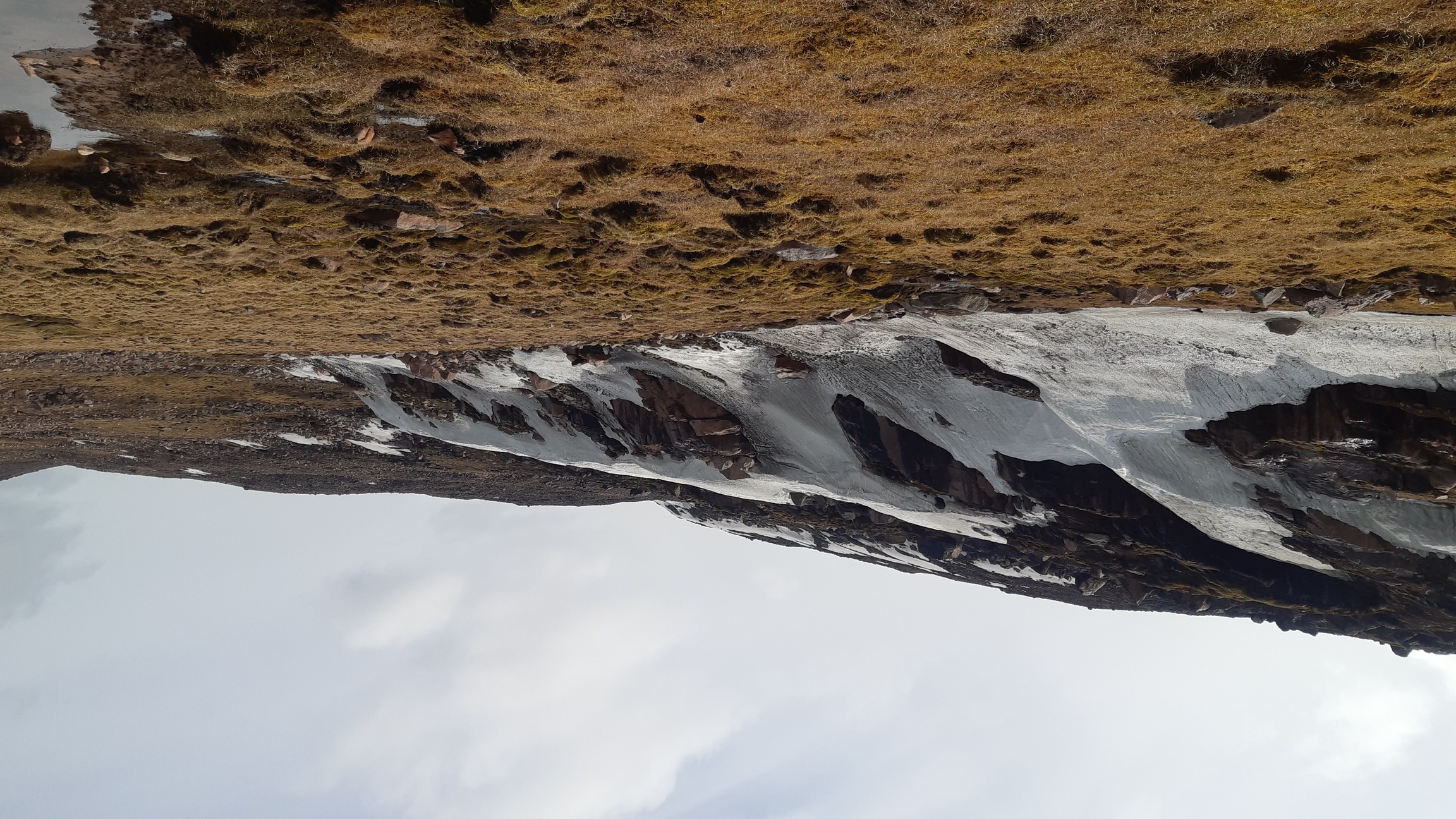
- Water: found everywhere, in all stages of freezing/unfreezing, from open fjords to half-frozen lakes, from solid ice on the slopes to completely rotten spring snow several meters deep. In a couple of valleys I post-holed until I was ready to cry, sinking waist-deep every other step.
- Brush: found at lower elevations (under 500 m), especially next to streams and lakes. The bushes rarely grow to more than a meter or two in height, but bushwhacking can be extremely slow and laborious nevertheless. Lakes with steep slopes often have a combination of large boulders and dense brush; this terrain is basically impenetrable.
- Swamp: a large proportion of Greenland is covered with a thick wet sponge made of lichens, mosses, and enormous tussocks of grass. In some devilishly gravity-defying manner, this carpet is always filled with water, regardless of whether it is flat or found on a steep slope.
- Boulder fields: found at any elevation, ranging in size from small rocks to enormous blocks that can barely be climbed at all. By the way, rocky slopes are much harder to climb than one would expect from their angle because they are often unstable, and rocks very easily crumble.
That's about it in terms of terrain. Oh, wait a minute - and where is that sweet alpine zone, with green grass and nice turf that is a pleasure to walk on? Well, here and there, if you are lucky enough to find it. Mostly what you get is lots of water and a combination of brush, swamp, and boulders in between. There are no human-made trails in the area, apart from the Arctic Trail from Kangerlussuaq to Sissimiut. However, a wonderful, extensive, and extremely useful system of trails is lovingly maintained by the natives - reindeer and musk oxen. These trails were real life savers. Overall, I found the fjords and broad, low-lying valleys to be the best for rapid travel. These major valleys tend to be flat, well-grazed, and full of animal trails, like this one:
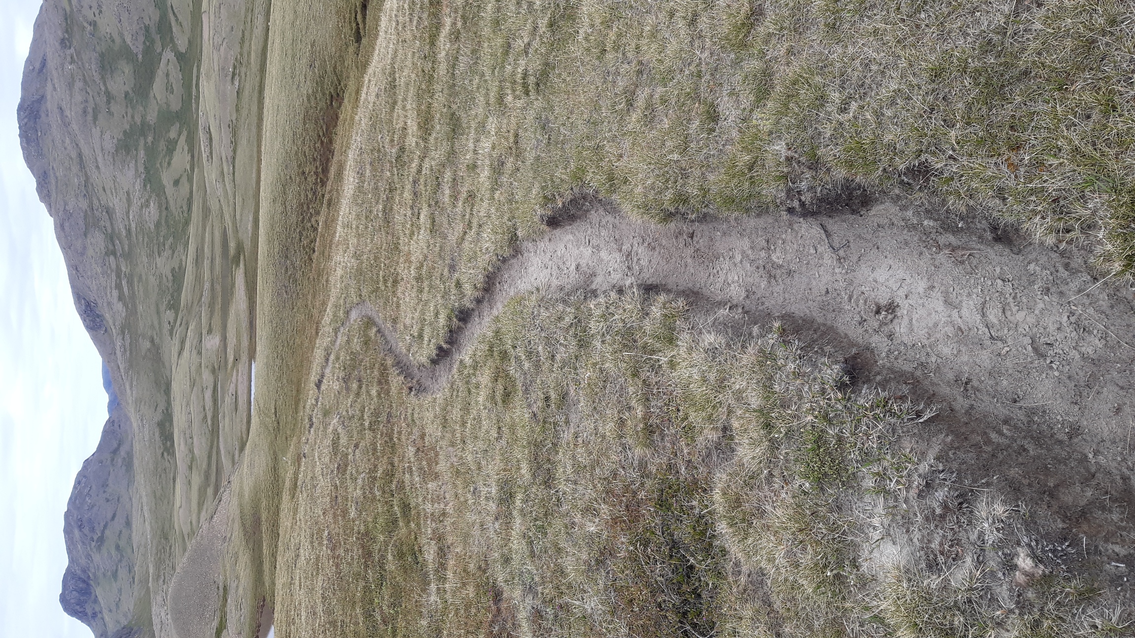
A highway in Greenland's wilderness, courtesy of musk oxen - Wildlife
Reindeer are not a problem as they usually just flee or sometimes approach curiously and cautiously, but never aggressively. Musk oxen with babies tend to retreat as well, but grumpy old bachelors sometimes stand their ground, and a very few made aggressive moves. I generally gave musk oxen a wide berth, if only to avoid disturbing them, which sometimes involved climbing around them laboriously on steep slopes. Mosquitoes were not a problem, and most nights I didn't even bother to wear a headnet inside my open pyramid.
Weather
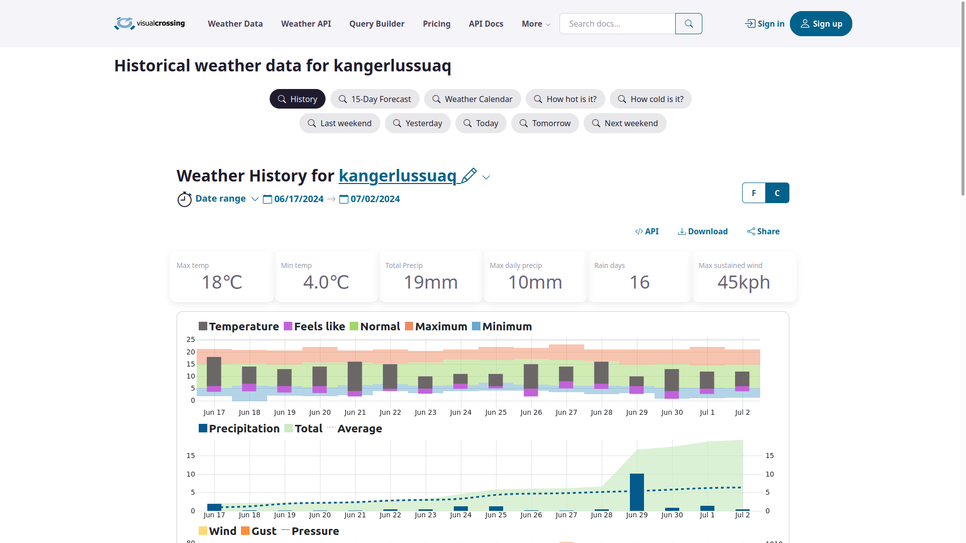
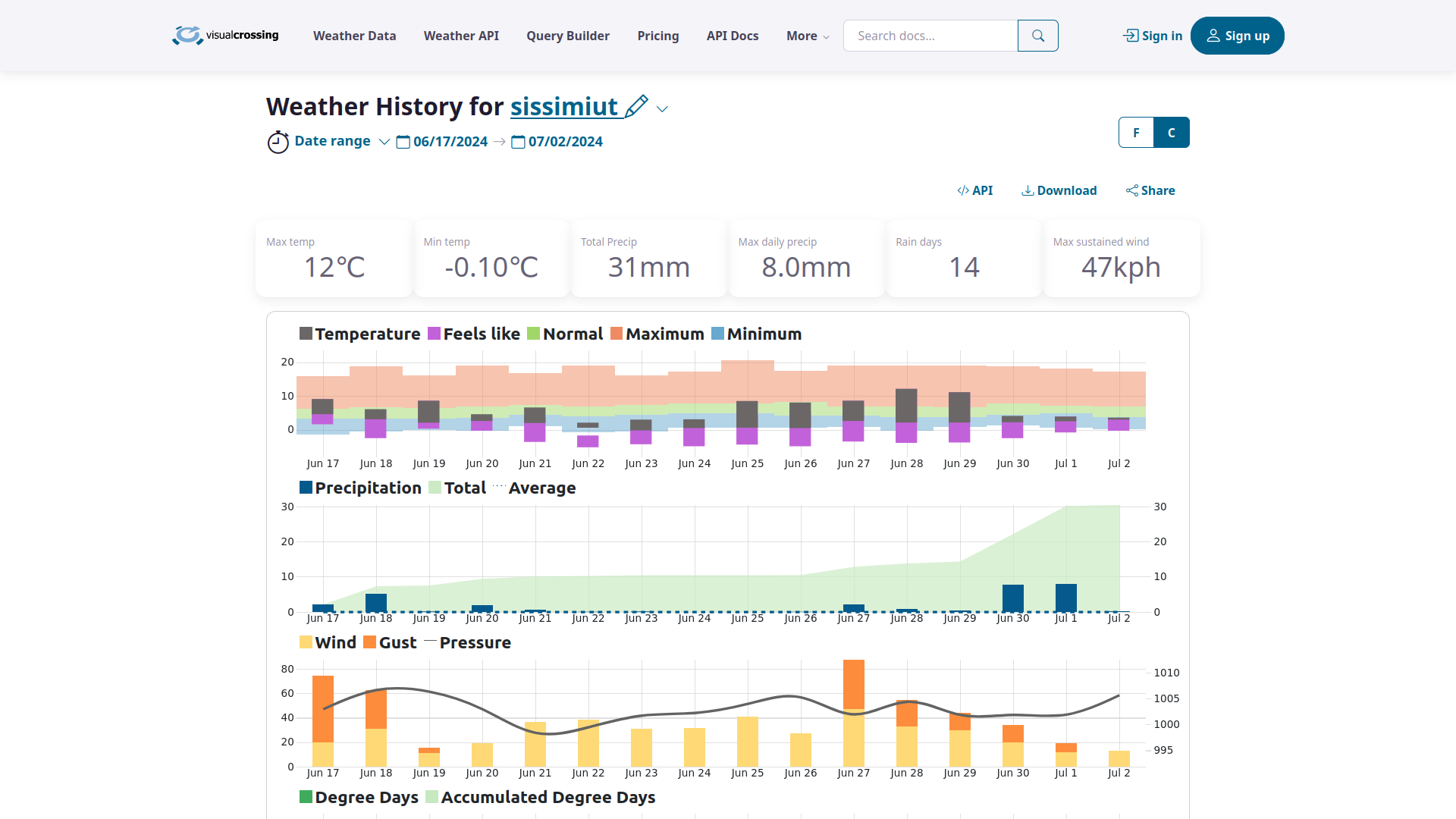
It was usually around 5°C day and night, varying between 0° and about 15°C, mostly cloudy but with some sunshine now and again - even in the middle of the night! I was celebrating the absence of strong winds, when suddenly a storm rolled in from the coast with sustained winds of about 15 m/s, so yeah, apparently that can also happen. I would not care to venture out on a fjord on a day like that. In general, mid-June is way too early for Greenland, except maybe in low-lying areas in the deepest fjords such as the immediate vicinity of Kangerlussuaq. With every pass on the way to the coast, the temperature dropped and there was more and more snow left, especially higher up. Even in early July and far inland, many of the highland lakes remained partly frozen, complicating navigation (I often couldn't just paddle across them and had to find a way around). Weather data for Kangerlussuaq from visualcrossing.com:
 And compare the same for Sissimiut on the coast:
A note on wetness. I've never had such permanently soaked feet or such epic blisters. Footwear never, ever got a chance to dry. I ran out of leukotape for my feet after just three days and then had to shamanize with vaselin (petroleum jelly). Drying out my bare feet at every longer break during the day, and of course keeping them dry every night in camp, helped a lot. If paddling, I would also seriously consider bringing spare clothes or a wet/dry suit. I wore my fleece jacket under a rain shell (with no base layer), which worked fine for the upper body, but my legs were just too cold with just a shell (rain pants), so I was forced to wear my sleeping pants underneath, and they got soaked repeatedly. Fleece gloves + rain shells for the hands also proved to be too cold and hard to dry after each crossing.
Do I need a packraft?
Yes. There are fjords, huge lakes, and glacial rivers everywhere, even where the map says everything is spick-and-span and bone dry. Even if a route is planned around all these obstacles, there are rivers in Greenland that I personally didn't dare to ford. A couple of times I scouted up and down a stream, waded in nearly waist-deep, but then decided to paddle across instead, and even that was not always easy! These are rivers, not just streams, and they can be really fast, powerful, ice-cold, and full of surprises because the water is filled with sediment and completely opaque. Prior to the trip, I had considered buying and bringing an ultralight packraft - just enough to cross an occasional fjord. In hindsight, I believe it was the right decision to bring my old, robust, 3 kg boat with a spray deck, and often I still wished for a dry suit or at least a dedicated set of fleece garments for paddling.
Other equipment
I started with a backpack of about 21 kg, including 12 kg of food and fuel and 4 kg of packrafting equipment. Anticipating a long and strenuous hike, I increased the food rations to a whopping 4000 kcal/day (735 g/day), gobbled it all up happily, and very nearly kept my original body weight, which I think is quite an achievement after two weeks of 12-hour days on the trail. Here is a complete list of my equipment and food, with comments before and after the trip: spreadsheet
Maps
I brought rather inadequate 1:250 000 paper maps as a back-up, but mostly relied on opentopomaps on the phone via Oruxmaps. Both were grossly inaccurate - but hey, that's part of the fun!