Skiing off-trail in Abisko
When
10 - 18 March, 7.5 days of skiing.
Where
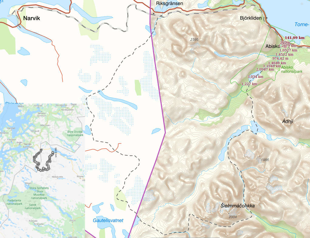
A loop along Norwegian-Swedish border between Riksgränsen (near Narwik) and Abisko, crossing Kungsleden and then following it for the final stretch (~140 km, mostly off-trail).
Weather
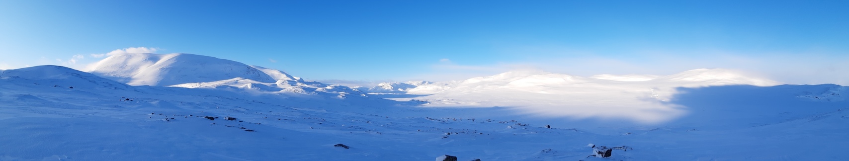
Elevation 400-1300 m, usually about 800-900 m. Temperature about 0°...-15°C, mostly overcast, with frequent light snowfalls, often windy, one day a full-scale blizzard (~25-30 m/s wind). Snow condition: highly variable, from powder at lower elevations to exposed rocks and ice higher up and after strong winds. Trail: no trail at all on the Norwegian side, some scooter trails east of Kungsleden, marked trail on Kungsleden.
Equipment
7 kg base weight + 5.5 kg of food and fuel. Skis: Fischer S-bound 112 mm with Easy Skins for climbing. Bindings: Voile Traverse (3-pin), without cables. Boots: Scott Excursion plastic telemark boots. This is essentially the same setup that I used in 2018 in Hardangervidda.
I'm very satisfied with the performance of the S-bound skis. They are just perfect for the backcountry: they provide a very good grip on slopes, including on firm or icy snow, and the grip is improved further with Fischer's Easy Skins (attached and removed in just a minute or two). At 112 mm, the skis also float well in powder, making it possible to break trail through fresh snow, and offer a lot of control on descents. The glide on flats and groomed flats is also acceptable, although of course not the same as with narrow cross-country skis. The plastic boots are very warm, easy to put on in the morning even when they are frozen, and great for cutting turns. But: despite all my efforts with DIY inserts to elevate my heel and avoid getting pressure points, my inner ankles were still bruised, blistered, and quite painful much of the time. Better than in Hardangervidda, but still nowhere near comfortable. Plastic just doesn't adapt to the foot's shape - no give at all. My conclusion is that such boots have to be personalized to fit properly.
I used a floorless pyramid tarp for shelter and slept in snow caves on two atrociously windy nights. The caves were infinitely more comfortable. In fact, on two nights the tarp had to be collapsed because of unexpectedly violent winds despite my attempts at snow walls around the perimeter, leaving me to kip as best I could amid drifting snow and flapping canvass. Bully for snow shelters! :))
Two new pieces of equipment that I first tried this year deserve a special mention. First, instead of a DIY scoop I brought a proper avalanche shovel, namely Arva Plume (380 g). All I can say is that I'm never going anywhere in winter again without a shovel. It's terrific for camp work like digging and recovering snow anchors or building snow walls, but most importantly, it makes it possible to dig full-scale snow shelters, more on which see below. Secondly, I was extremely pleased with Rab Photon pants. They are marketed as belay pants rather than skiing pants, and both the price and weight are too high for my liking, but the crucial point is that they have a full-length side zipper. As a result, they ventilate very well and can be adjusted in an instant to be comfortable from 0°C to a deep freeze. This is extremely convenient compared to the alternative method of putting puffy pants on and off every half hour as the weather changes. In fact, I wore them all the time during the day, and occasionally at night as well.
For more details on the equipment and food used on this trip, see spreadsheet.html.
Logistics
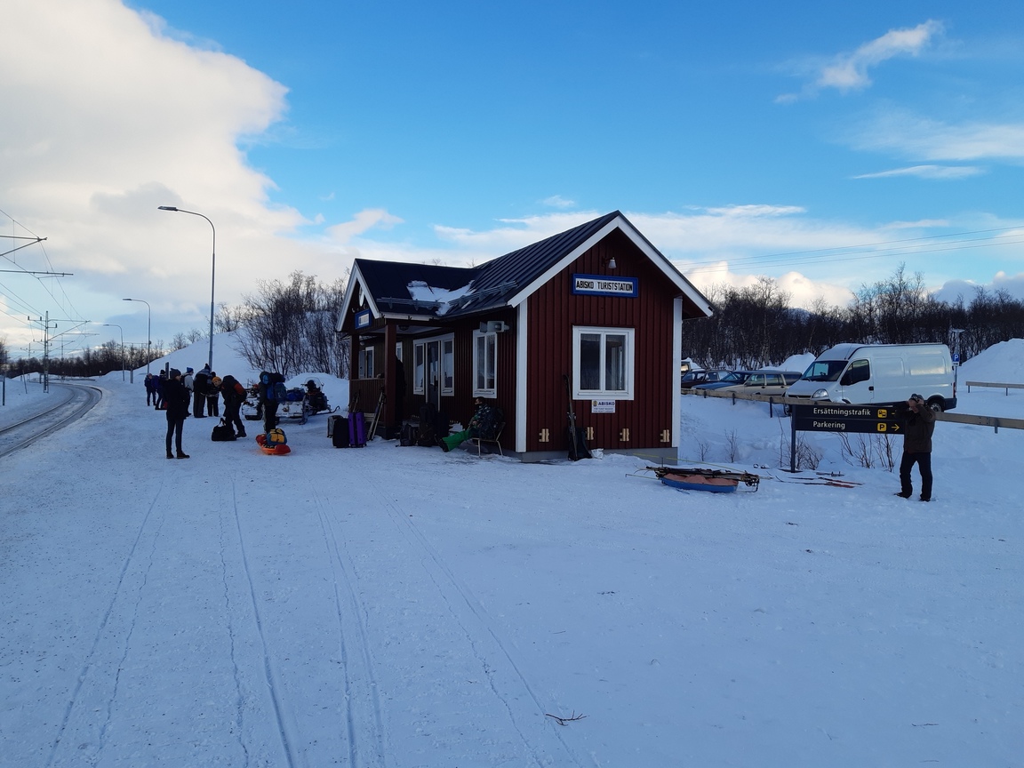
There: train to Katterjåkk (just before Riksgränsen, close to the Norwegian border).
Back: train from Abisko.
Maps
Paper map: Calazo Kebnekaisefjällen. Amazingly convenient: at 1 km scale, it covers the entire area between Abisko in the north and Sarek in the south, including a lot of real estate both west and east of Kungsleden. It is made of Tyvek (so relatively waterproof) and weighs only 45 g, with maps on both sides.
Maps on the phone (via Oruxmaps): open togographic maps (quite good). Online topographic maps are excellent but (annoyingly) separate for the Swedish and Norwegian sides of the border.
Detailed route
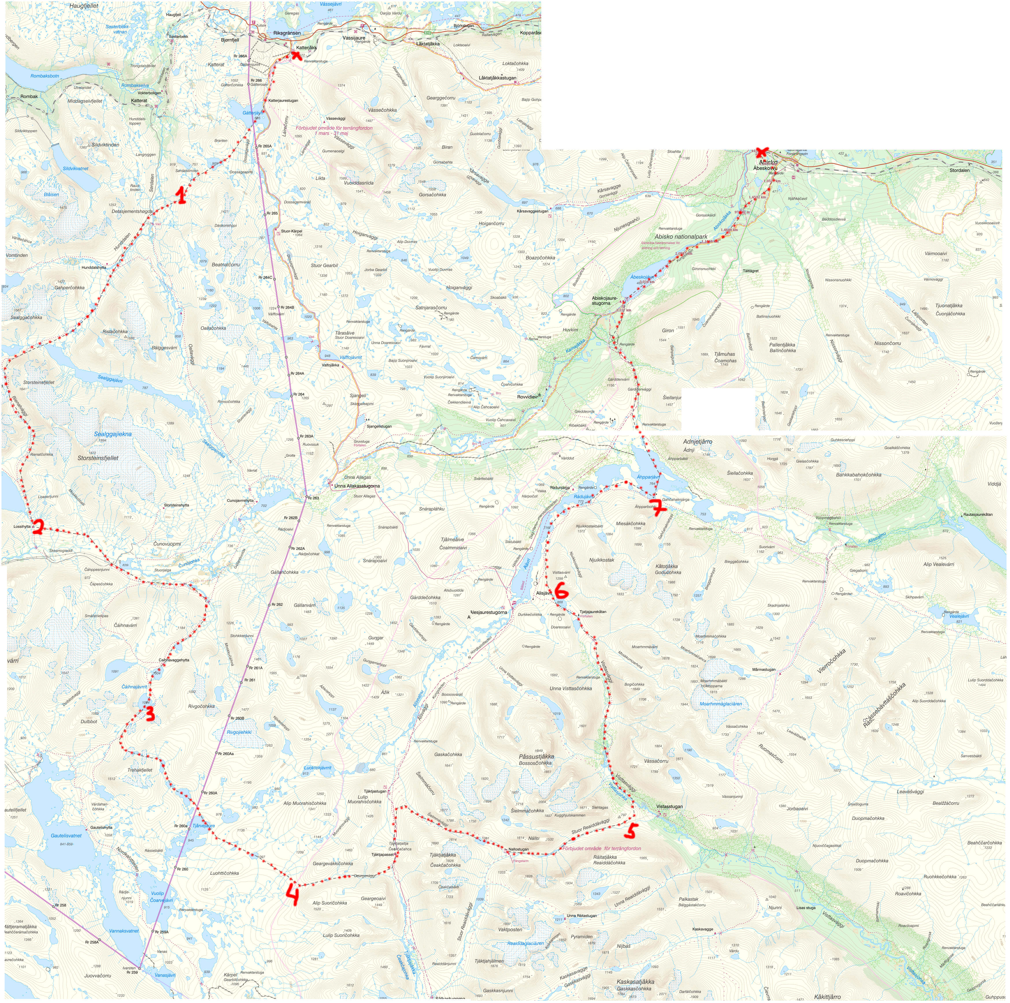
Day 0: Katterjåkk - Sördalen
I was planning to start in Riksgränsen, but apparently there is another train stop a few km earlier, in Katterjåkk:
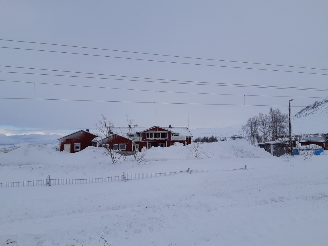
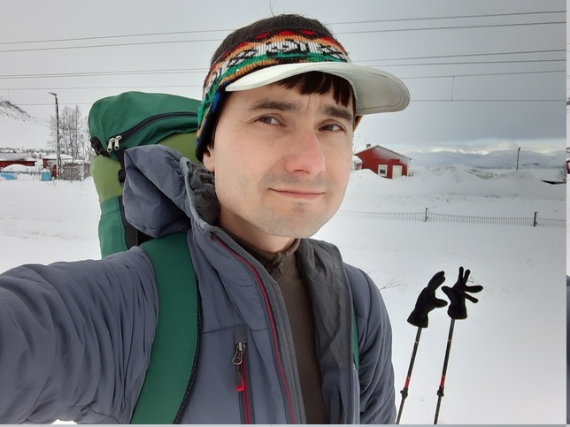
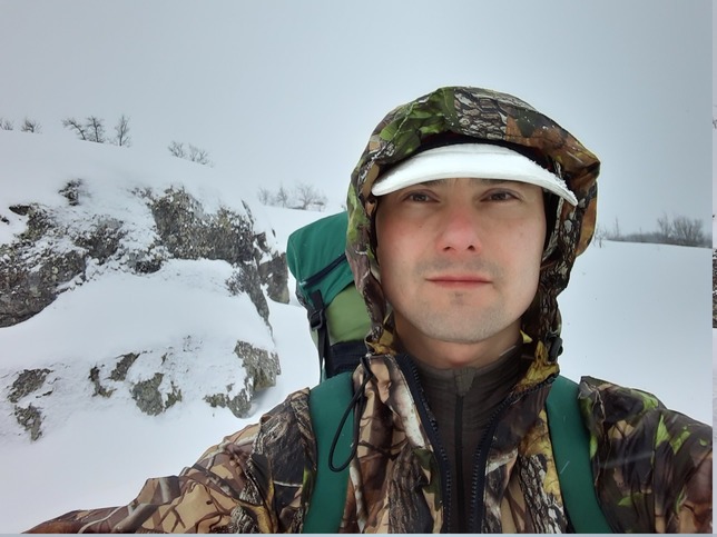
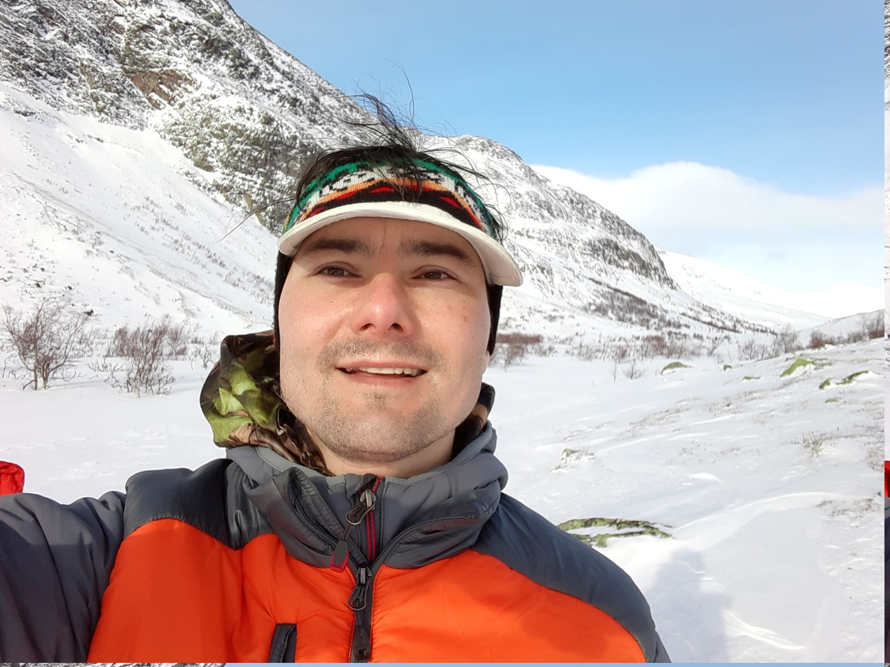
Since it's a more convenient starting point, I hopped off around midday and started climbing along the scooter trail that leads to some ski lifts and beyond into the hills. Me at the trail head:
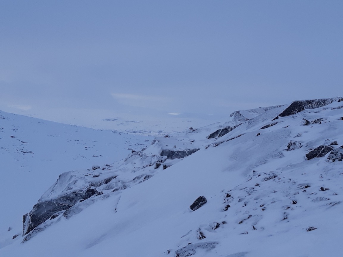
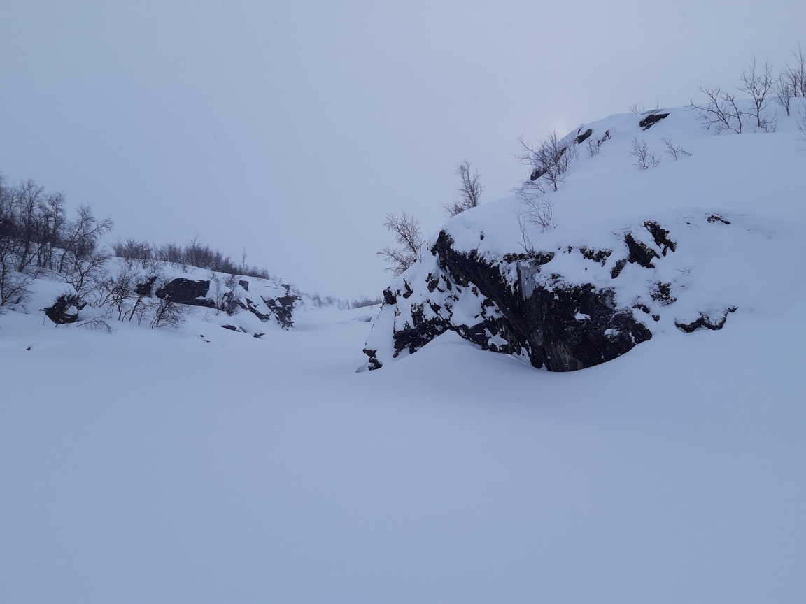
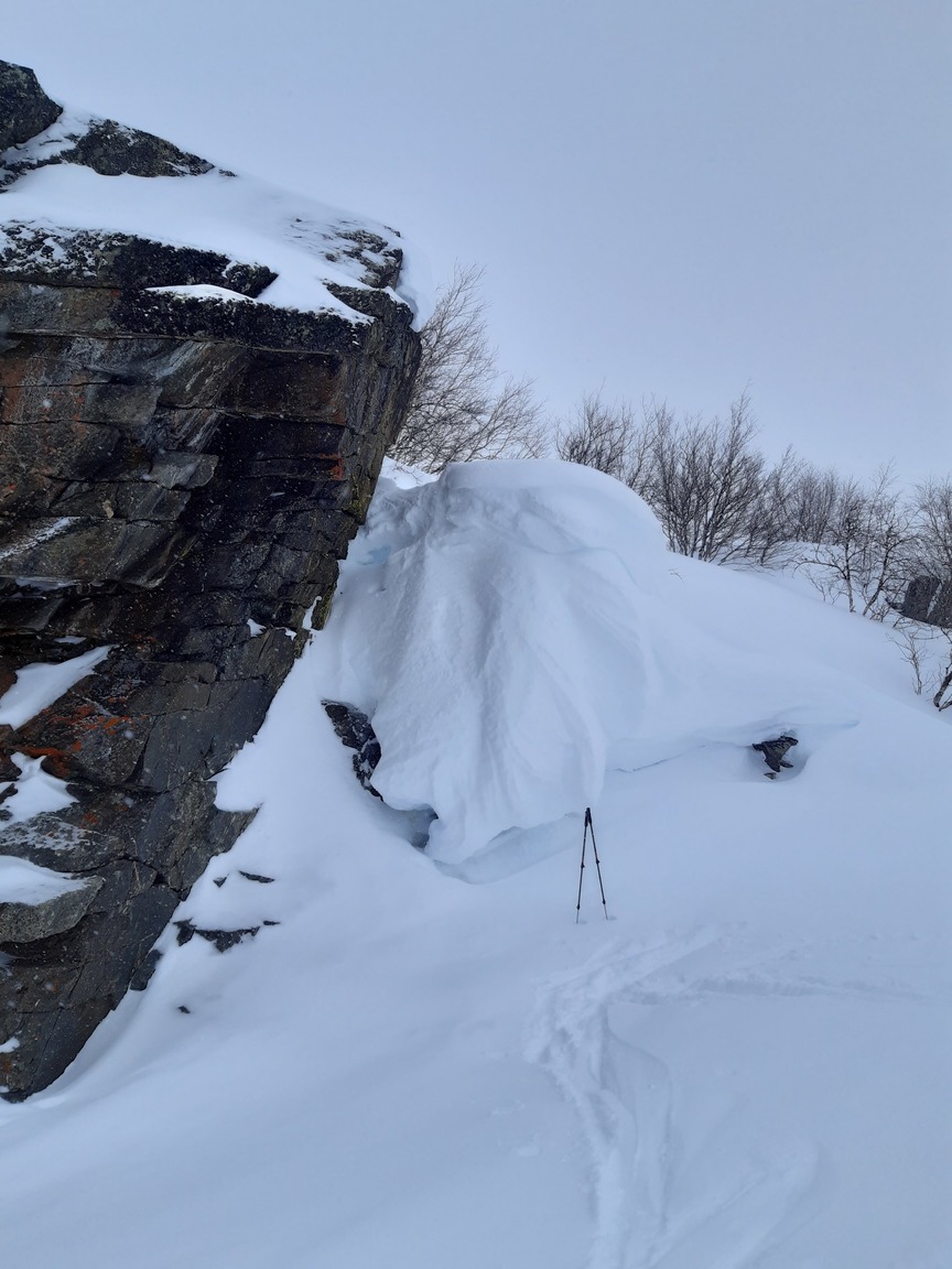
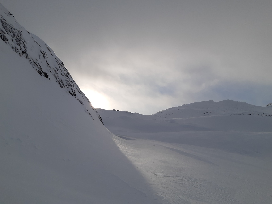
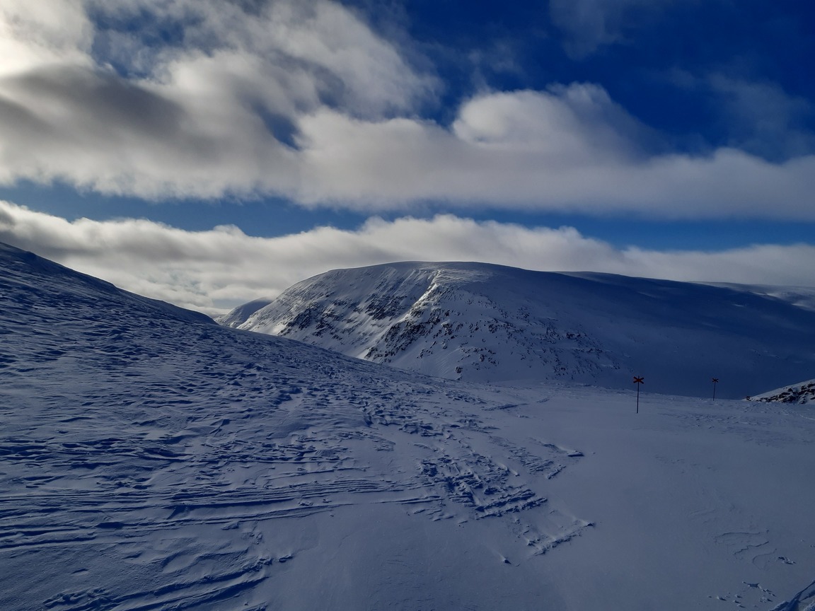
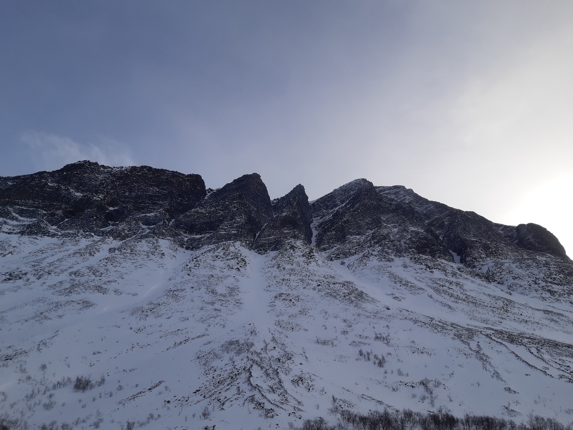
I soon left the trail and started climbing steeply, aiming to cross over the hills into Norway by nightfall. Because of frequent and locally variable winds, there is deep powder in some valleys and exposed, icy slopes nearby:
Interestingly, from the crest at the very Swedish-Norwegian border one can see the ice-free fjord (Rombaksbotn) near Narvik:
It took me ~5 hours to get to the slopes of Sördalen, but by that time the wind was becoming so strong that I didn't dare to pitch my tarp and instead dug my first-ever snow cave in a mighty drift with a convenient vertical face. The digging took about an hour, but the snow was very compact and hard below the surface, so it was quite intense and sweaty work. Here is the result, as seen next morning after I uncovered the entrance (blocked with snow that I piled over skis and poles before creeping in):
Day 1: Sördalen - Lossihytta
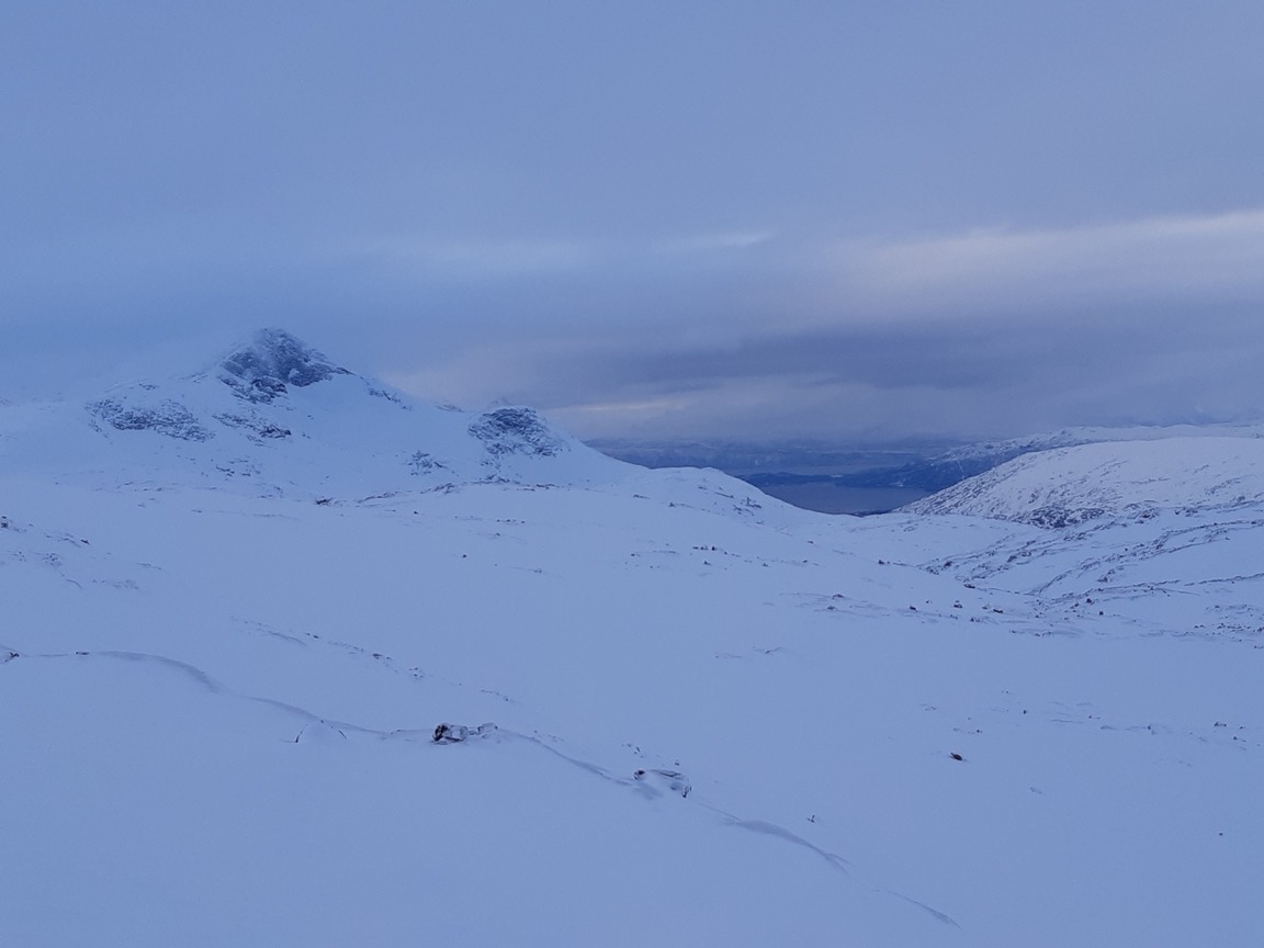
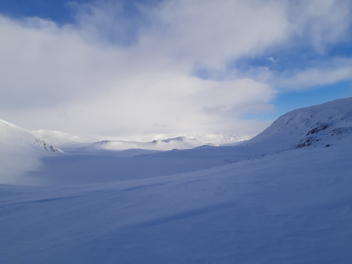
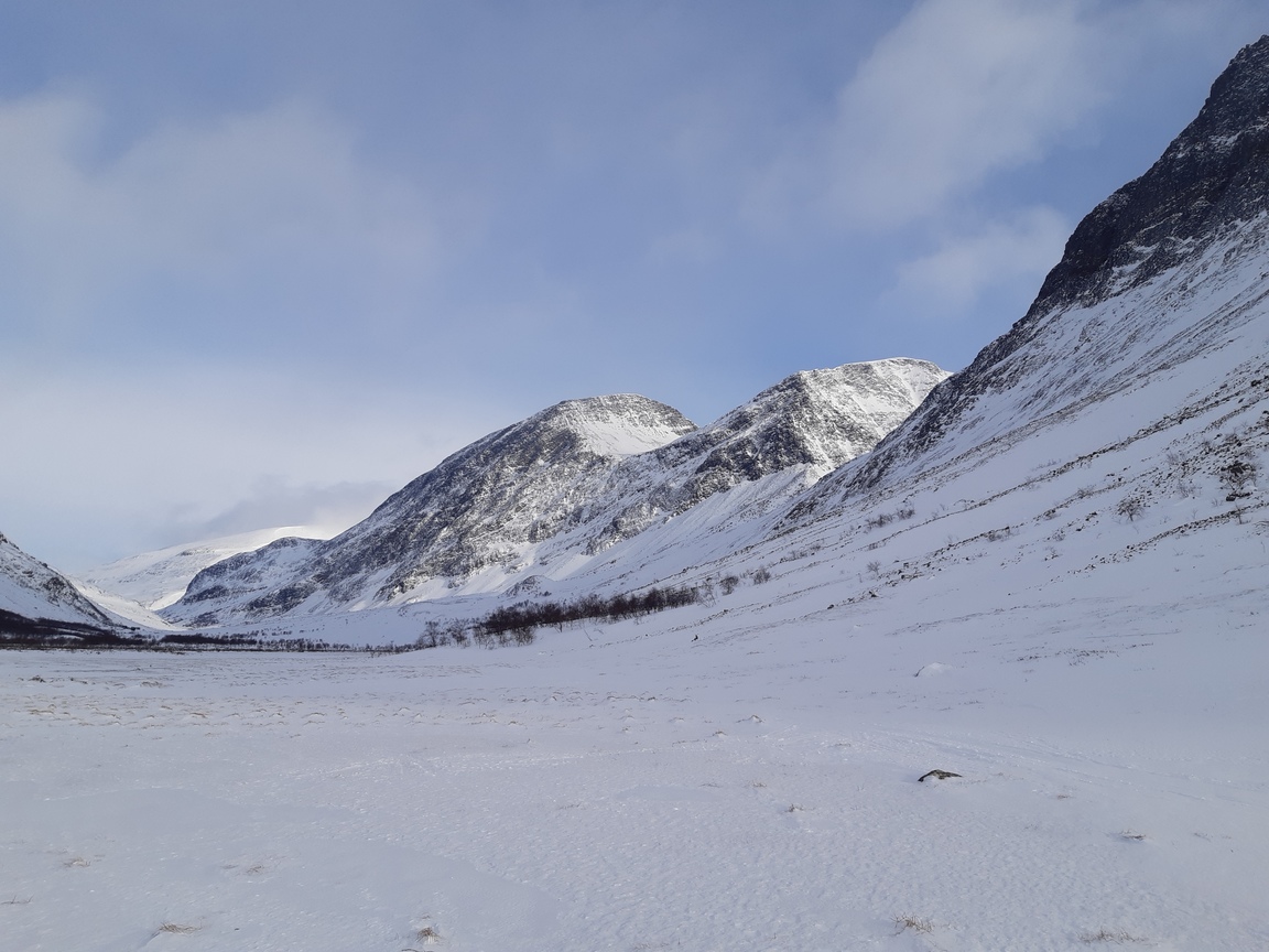
In the morning I regretfully left my cozy snow shelter and barely managed to descend into Sördalen - the slope was so windswept and icy that skates would have been more appropriate than skis. After that it was a matter of plodding through surprisingly soft snow at the bottom of the valley. I went south-west though Hunddalen and then over a straightforward, but beautiful pass to Lossivattnet. Pretty views along the way:
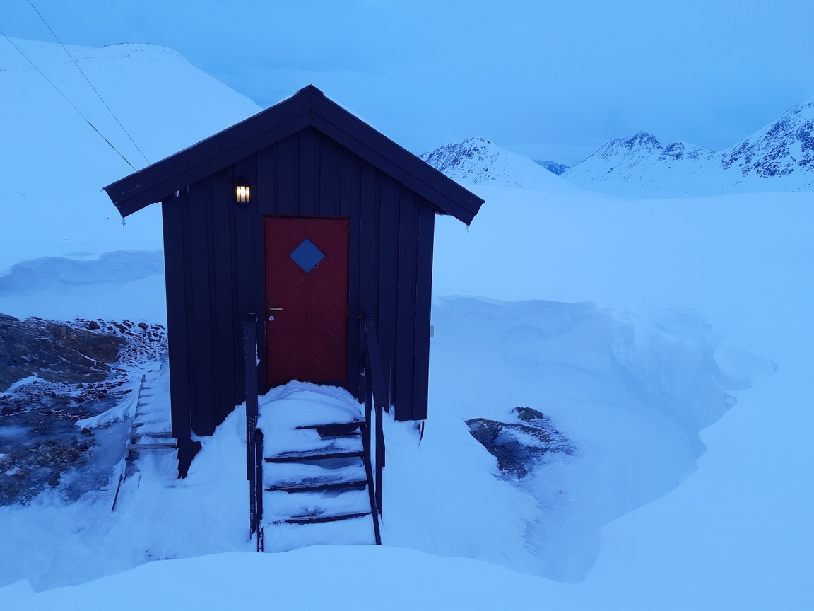
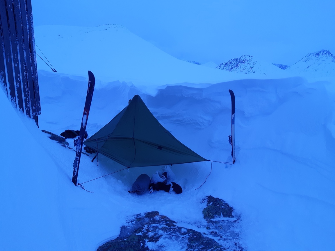
I vaguely remembered reading somewhere that Norwegian mountain huts had a little unlocked room to give shelter to those travelers who were not members of DNT and did not have a key. Nope - no such thing! Everything is locked up. Why, oh why don't they have bothies in Scandinavia... In defiance, I set up my tarp right next to one of the locked (and completely deserted) cabins at Lossivattnet:
Day 2: Lossihytta - Caihnavagge
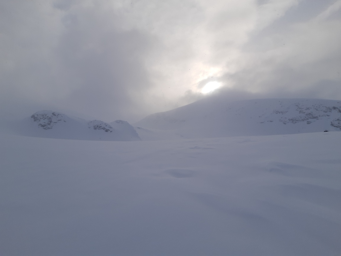
This was March 12 - my 40th birthday. :)) I was rather surprised to find that there were absolutely no trails - or, in fact, any sign of humans at all - in what was in summer a fairly popular route south of Sördalen. Trail-breaking is slow and exhausting work; my knees started to feel uncomfortable after a while, and in general I was clearly going much more slowly than expected. In addition, the visibility, which was variable the first two days, now dropped to nearly zero, and I found myself stumbling blindly through fog and a light snowfall, which lasted almost the whole day.
Crossing a frozen stream at low altitude (~600 m):
Using the Vapor Barrier Liner (VBL) jacket as a shell in mild weather (the puffy jacket went on top at lower temperatures):
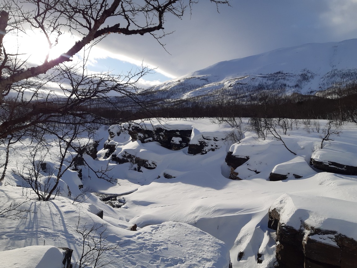
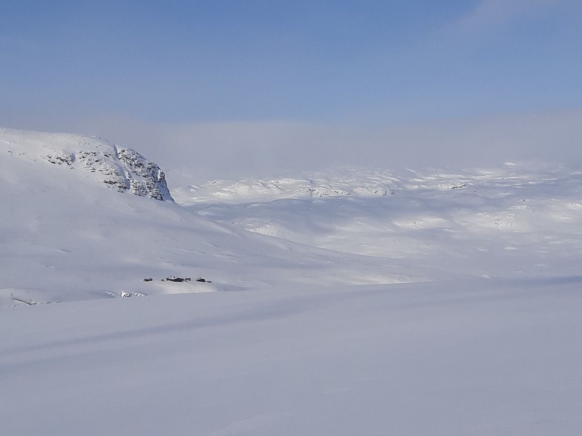
There are enormous snow deposits and very deep powder in wind-protected spots like this riverbed:
A rare glimpse of the sun near Caihnavaggehytta:
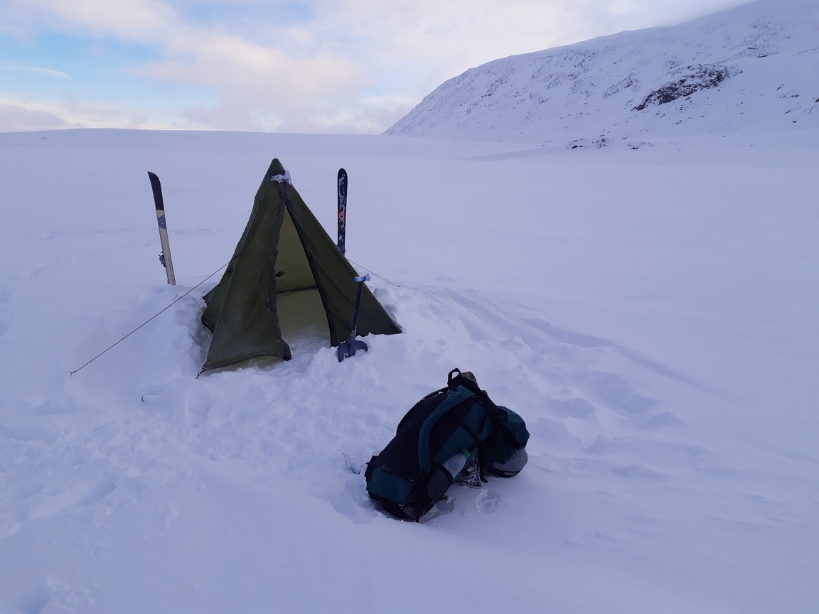
After a calm night spent camping at ~1100 m on a frozen lake:
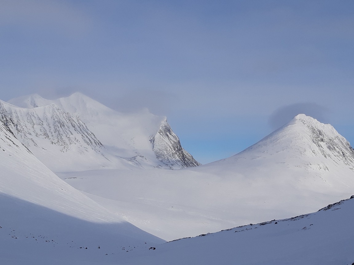
Day 3: Caihnavagge - Geargevaggi
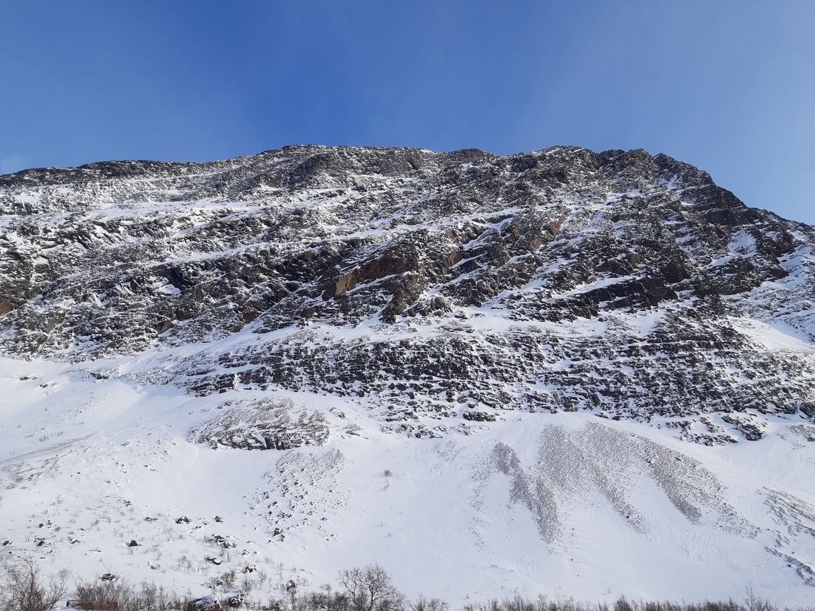
The morning dawned bright, with -8°C and very little wind. I hastily packed and rushed up the pass to use the perfect weather and take a shortcut to Coarvejavrrit. Since my progress was slow, I thought it was time to head east back to Kungsleden, which I wanted to cross at its highest point at Tjäktjapasset. The pass above Caihnavagge is trivial in itself. However, the bright weather didn't last - very soon I found myself in the middle of a mild snowstorm, with rapidly failing visibility. Besides, the cliffs turned out to be steeper than they looked on the map, and I ended up scrambling round and round for a couple of hours, before I finally managed to descend southeast to a string of lakes in the valley of Coarvejavrrit. This unpleasant experience has taught me a very important lesson: extreme caution is needed when descending unfamiliar slopes under limited visibility. Sudden drops and cornices can be encountered, which are basically invisible from above in weak dispersed light.
The pass above Caihnavagge:
Descending in a snow cloud. There is a slope right behind me, but nothing is visible beyond a few meters - it's almost like walking with your eyes closed:
On the other hand, once the visibility improves, a moderate wind is actually helpful because it quickly creates a strong crust. This crust is much easier to walk on than fresh powder, and the drifting snow is beautiful to behold:
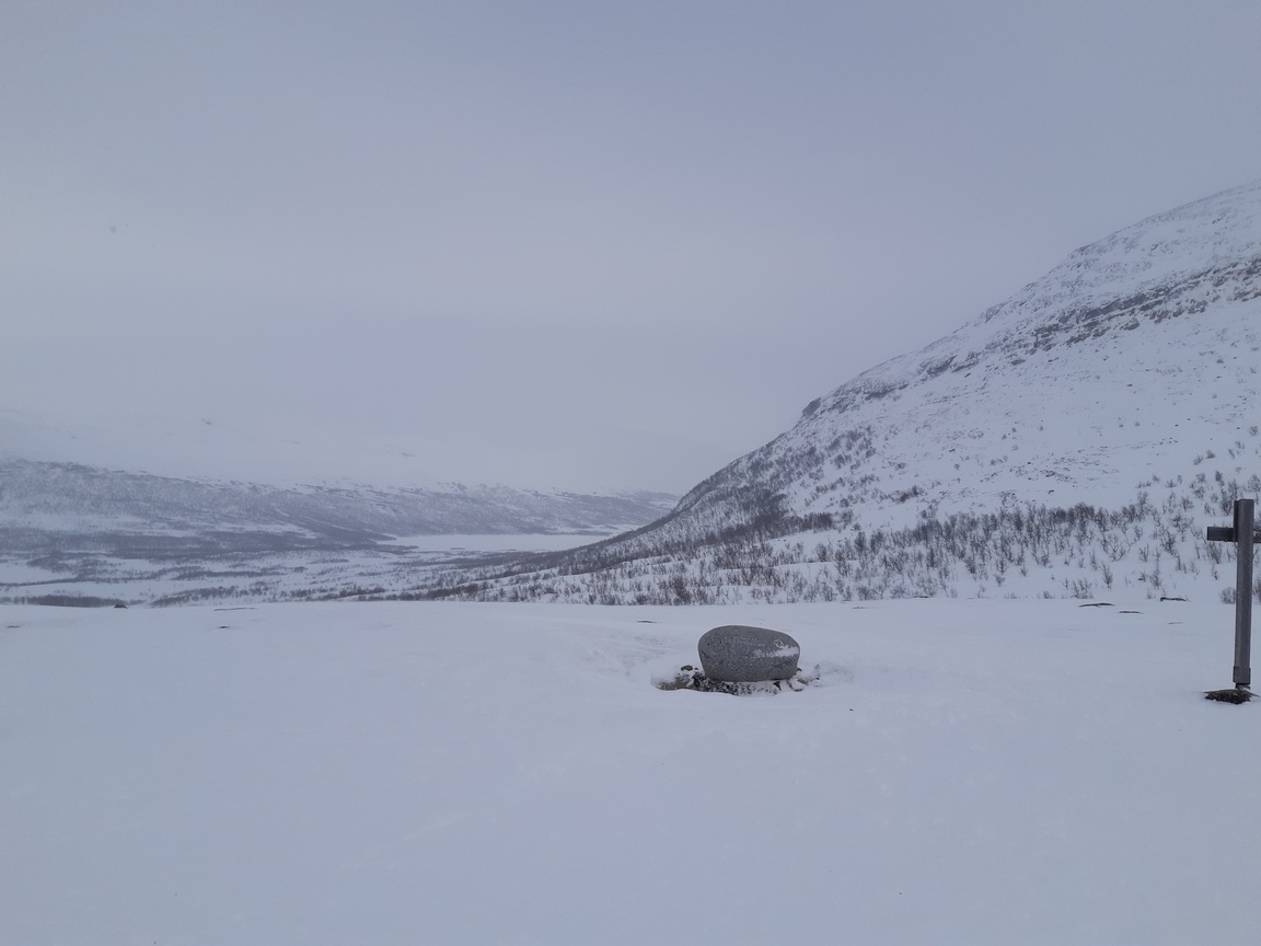
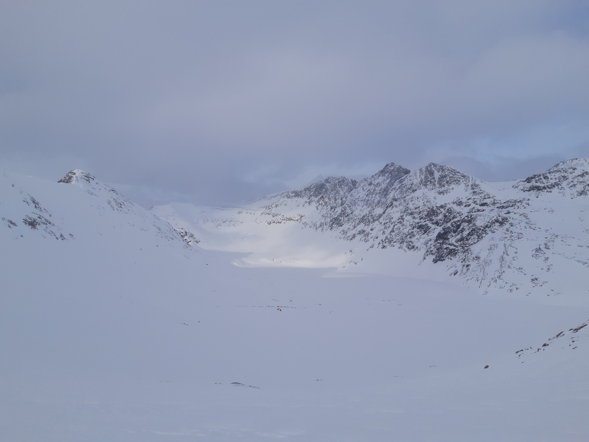
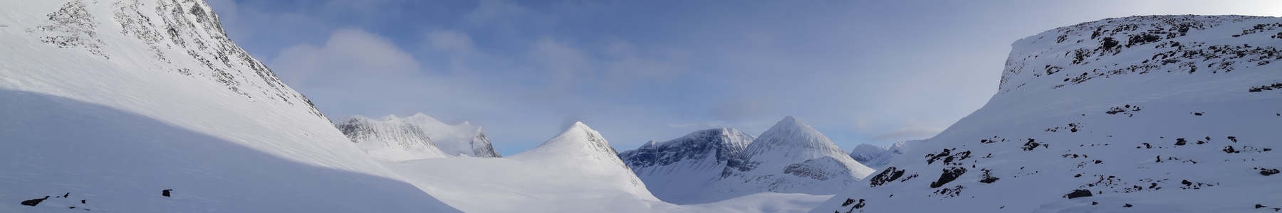
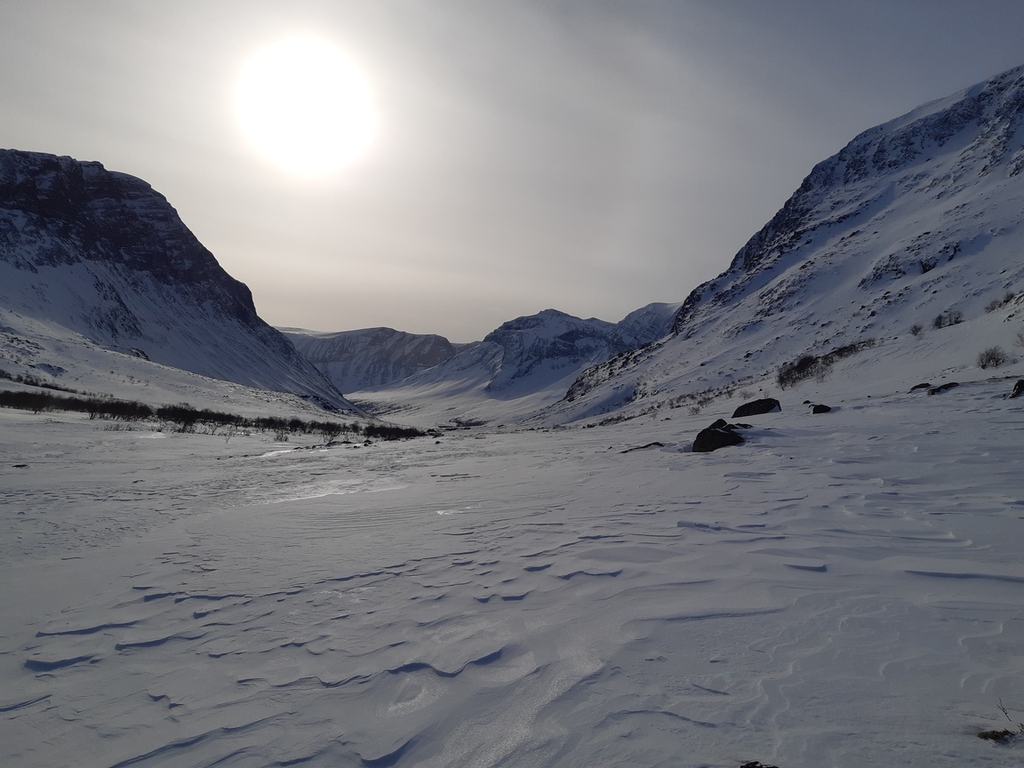
Morning adventures on the pass left me rather shaken, but the rest of the day passed without further mishaps as I made steady progress across the undulating hills. The visibility quickly dropped again after lunch, but I still managed to reach the opening of Geargevaggi - a narrow valley leading right to Tjäktjapasset and Kungsleden.
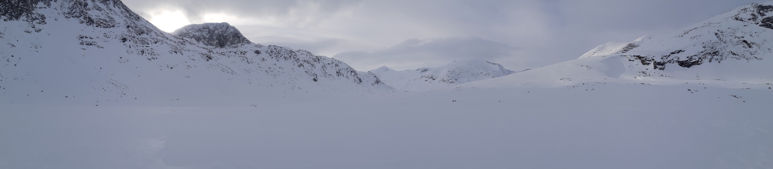
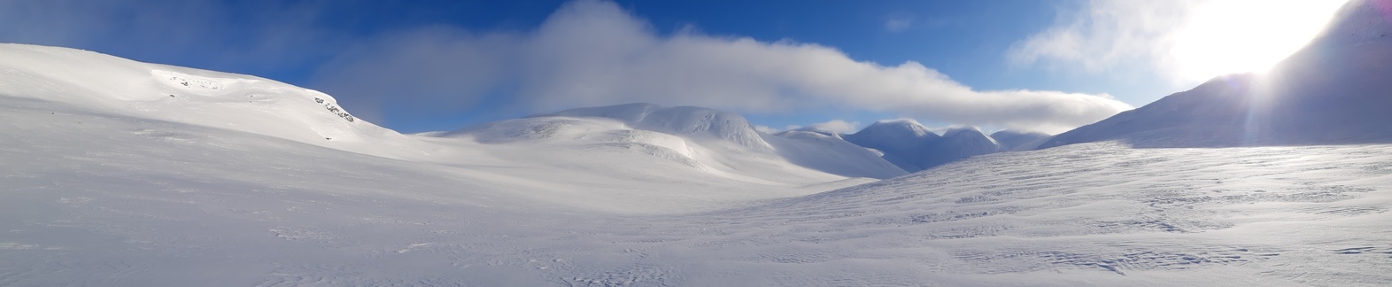
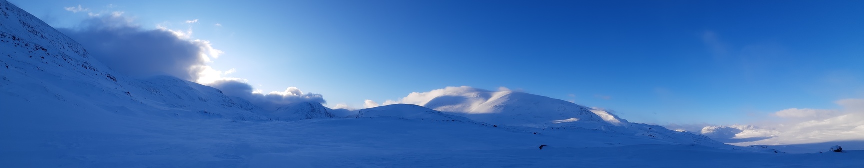
The plateau between Nordkalottleden in Norway and Kungsleden in Sweden:
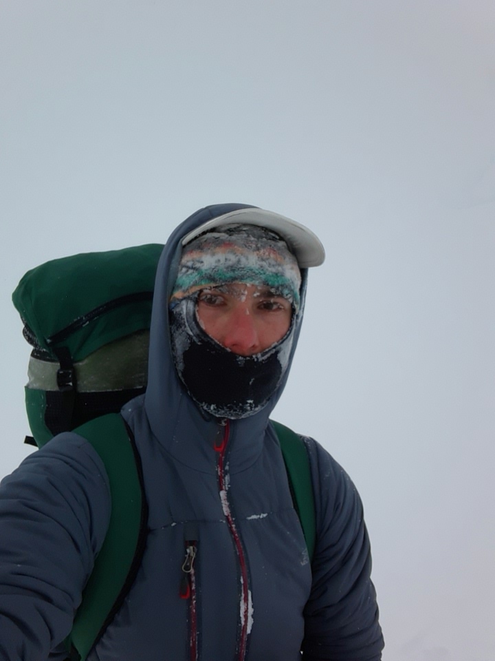
Preparing to decamp the next morning. The temperature is below -15°C (not sure how low exactly since my watch can only measure it down to -15).
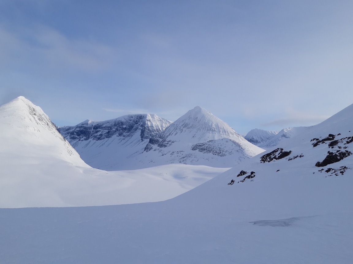
Day 4: Geargevaggi - Visttassvaggi via Tjäktjapasset
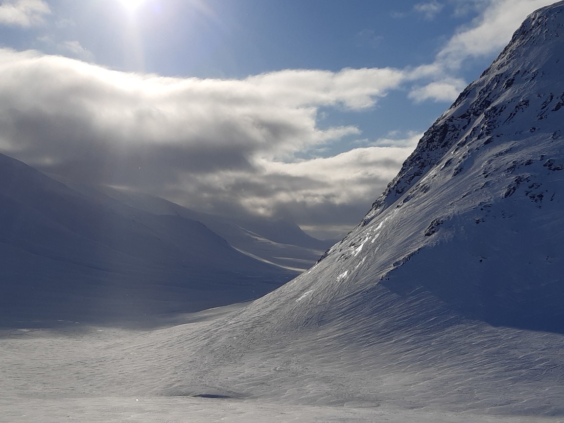
Despite the cold night, I slept well and used the calm, sunny weather to cross to Kungsleden, enjoying the view of sun-illuminated peaks all around me.
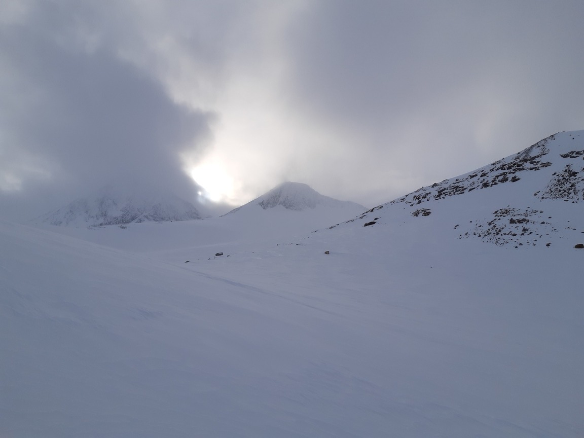
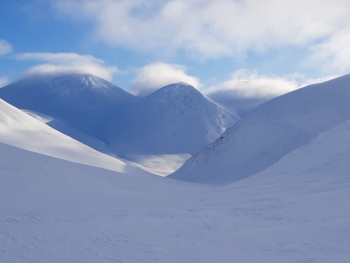
A view west to the plateau I crossed the day before:
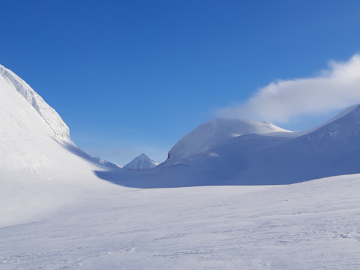
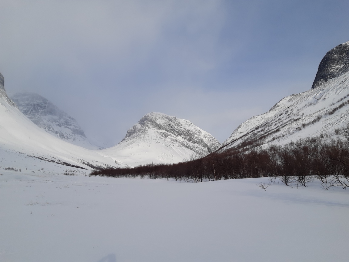
Crossing Geargevaggi, heading east to Kungsleden:
Tjäktjapasset is beyond the central peak:
Briefly back on good old Kungsleden:
Tjäktjastugan as seen from the hills east of Kungsleden:
After Tjäktjapasset I followed Kungsleden for a few kilometers and then swerved eastward into Sielmmavaggi. I felt confident that Kungsleden provided a quick evacuation route to Abisko, ensuring that I wouldn't miss my train back. At the same time, I still had three days left when I reached Tjäktjapasset, and the weather seemed good enough just then, so I decided to go around through Påssutjåkka, or maybe even stay east of Kungsleden the whole way to Abisko.
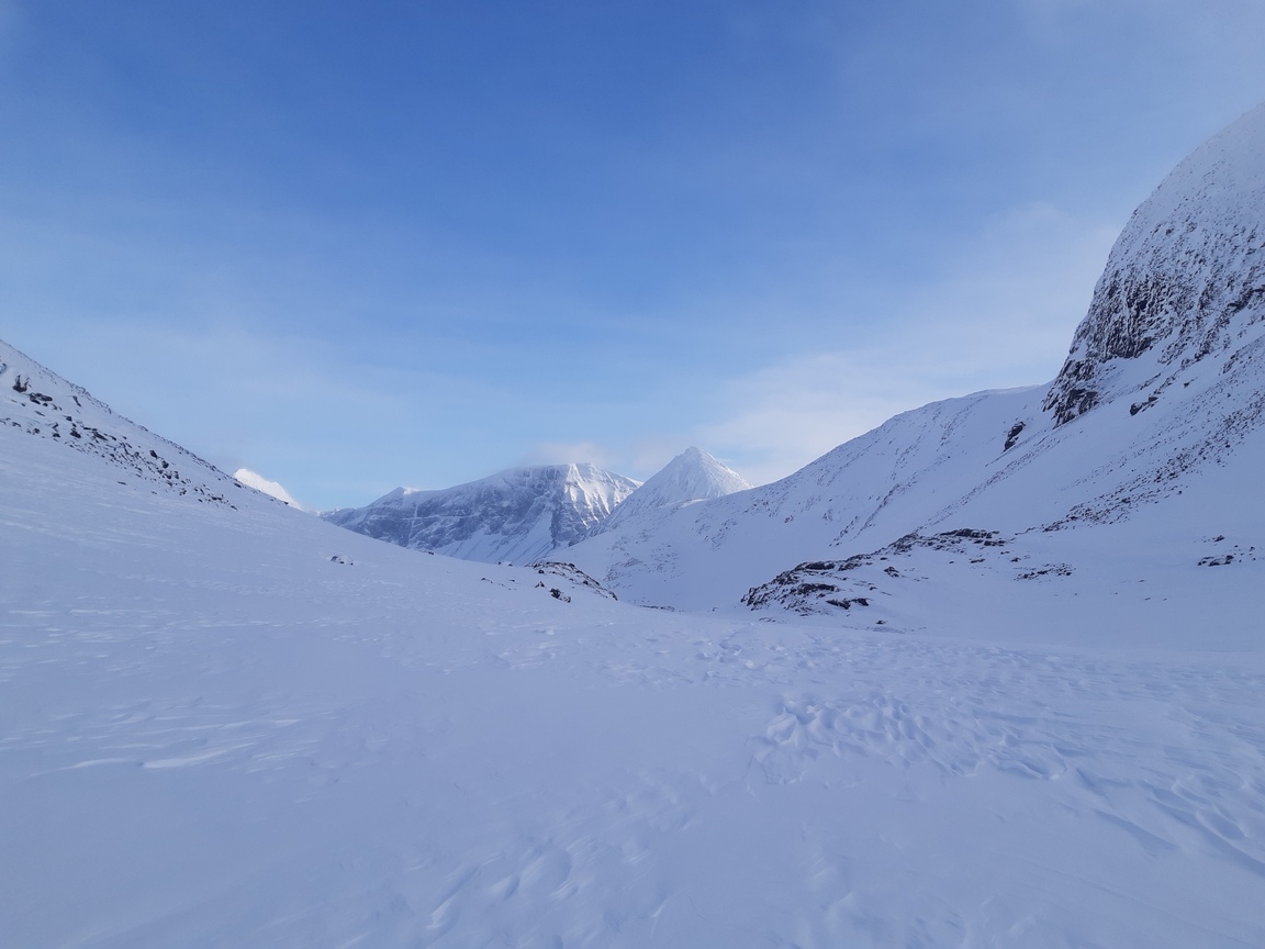
Going east through Sielmmavaggi:
Day 5: Visttassvaggi - Alisjavri
The previous evening I made the mistake of camping a bit above the line of sparse birch trees because I found an opening in an unfrozen brook and seized my chance to save my fuel by using liquid water instead of melting snow. The night quickly turned stormy, however. First I climbed out around midnight to tighten the guylines and improve upon my low snow walls, but soon after that I was forced to give up and collapse the tarp from within. The wind was so sharp that it quickly bore holes in my low snow ramparts, and the drift started to gather around my sleeping bag, burying my boots and other possessions that were lying around the tarp. In the morning I was nearly buried in snow, tarp and all, so I had to creep out and then shovel a lot of snow to raise the tarp again and have breakfast. NB: the weather here is so unpredictable that it is a good precaution to always pitch the tent / tarp in the most protected location available, building full-scale snow walls around the perimeter. It's either that, a snow cave, or a very real chance of a wet, cold, sleepless, and generally miserable night.
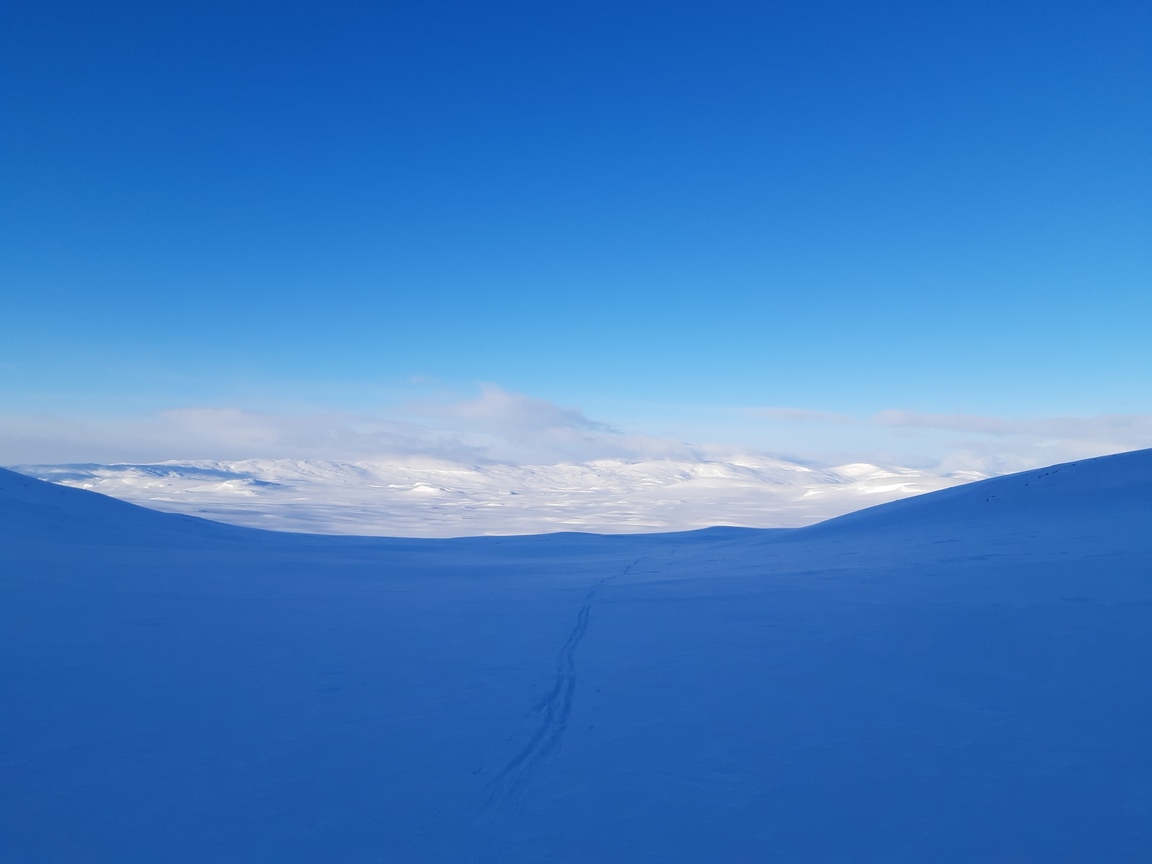
In any case, Visttasvaggi turned out to be a deep, broad valley with an old scooter trail that made little difference in terms of traveling speed since most of the valley floor was windswept and icy. Here is what the way north-west along Visttasvaggi looks like:
On the bright side, I finally got some sun and partly dried out my soaked and frozen sleeping bag:
Day 6: Alisjavri - Ahpparjavri
What do you know... After the miserable night freezing in drifting snow under a collapsed tarp, I decided to build a snow shelter and sleep in comfort. But some experimental excavation on the slopes above Alisjavri (close to Kungsleden again) revealed that the snow was too shallow. I was too lazy to keep looking, and the weather was deceptively calm, so I pitched the tarp again - very well, as I thought - and experienced an exact repetition of the previous night. Again the night turned stormy by midnight, and again the wind was so unbelievably fierce that I had to collapse the tarp and hope for the better.
After two such nights in a row I was exhausted, and the sleeping bag got very wet. The morning dawned clear and cold, however, and although the wind continued to blow, I was hoping that I would finally get better weather. Accordingly, the plan was to turn east off Kungsleden and follow an alternative route to Abisko through the mountains.
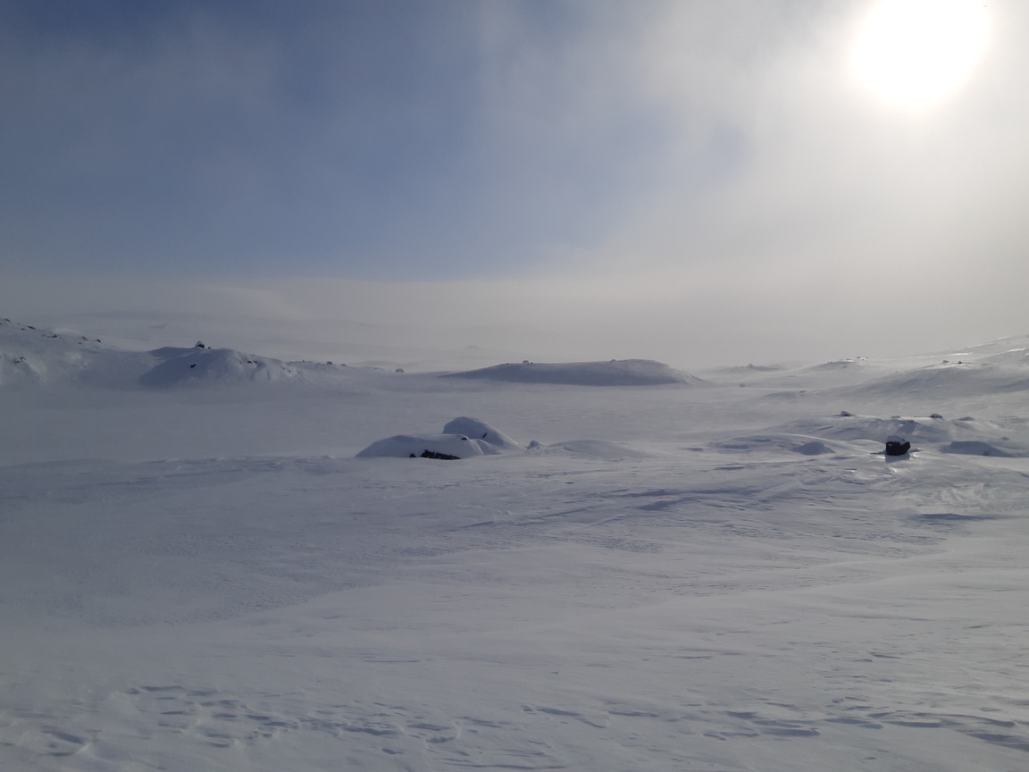
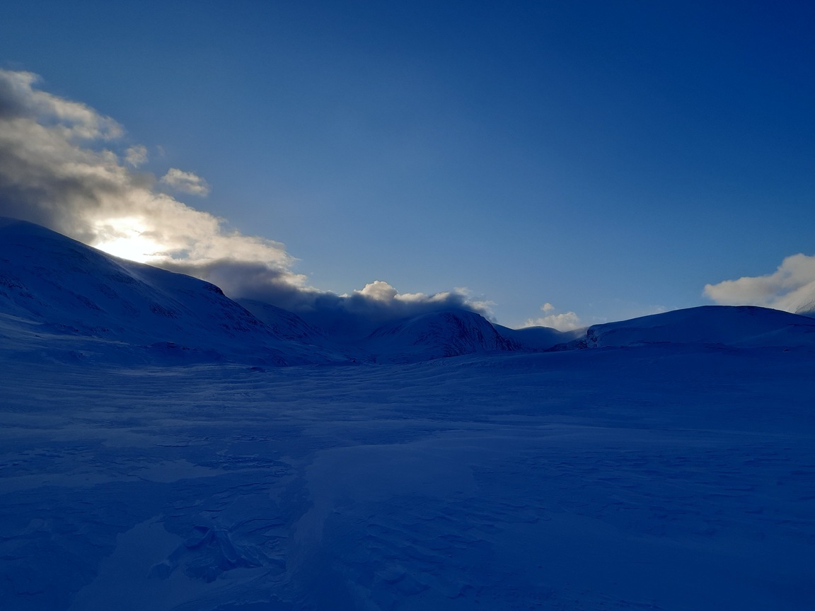
Dawn over Alisjavri - beautiful but ominous (unknown to me, a major storm is approaching):
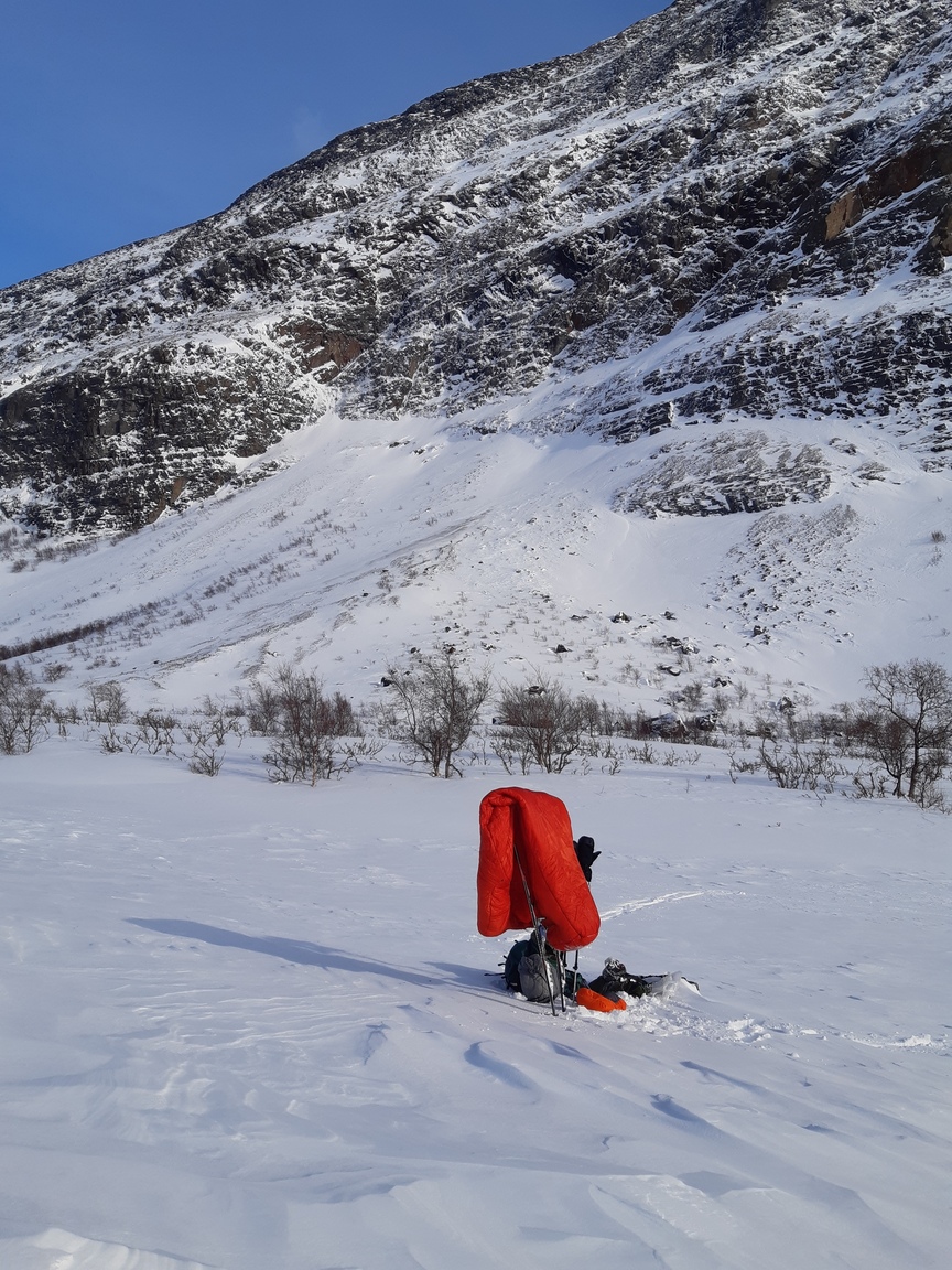
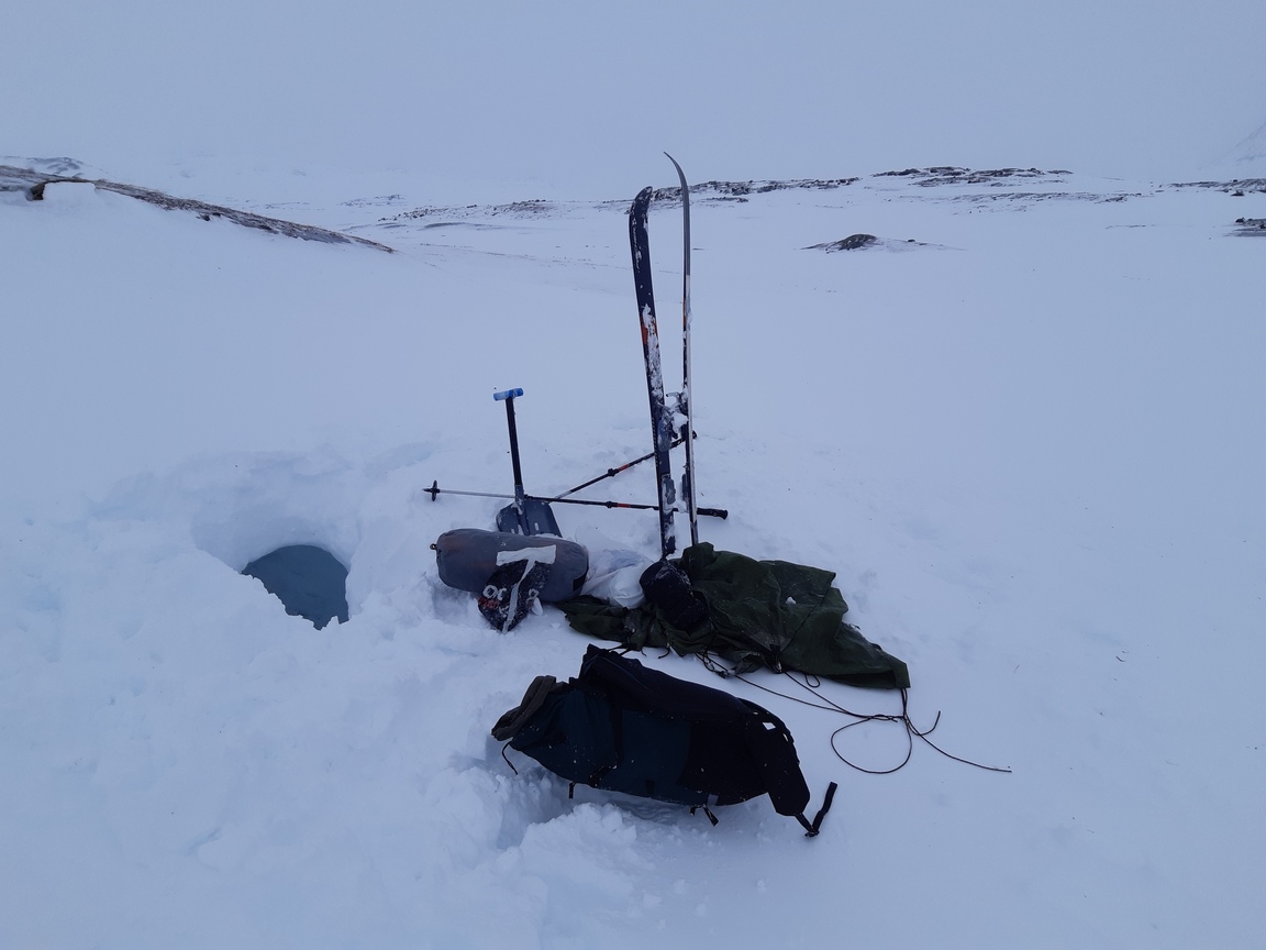
Well, within four hours I was digging an emergency shelter in the middle of a blizzard. At first I thought I was practicing, but soon I was digging for my life:
Day 7: Ahpparjavri - Abisko
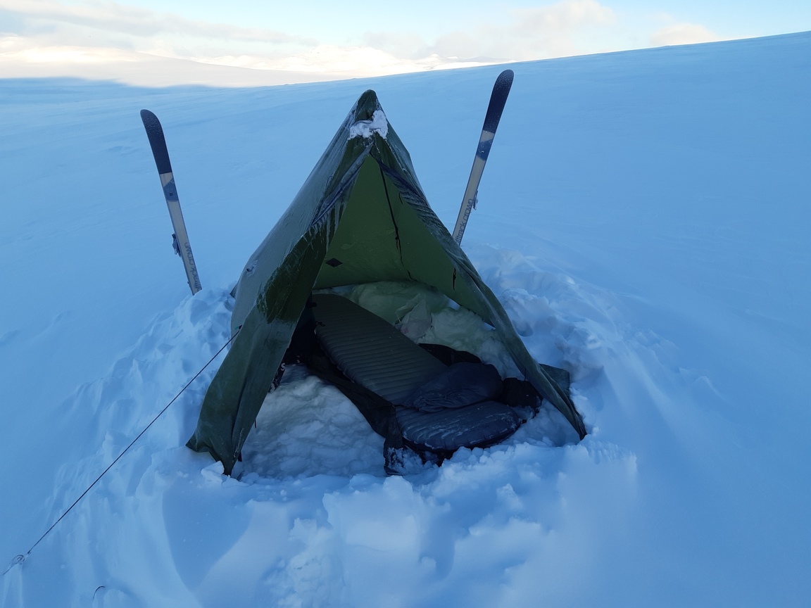
It took me two hours (11 am to 1 pm on Day 6) to dig my snow shelter, but once in, I was as comfortable as I would be in a five-star hotel. I just can't emphasize it enough - a solid cave can take you from a deadly blizzard straight to a calm, warm, quiet, and homely burrow. I cooked, ate, read some science fiction on my phone, and then slept like a baby for 12 hours straight. After two half-sleepless nights in a collapsed tarp, this was sheer bliss. Here is my beautiful cave in the morning, after I dug myself out:
I had about eight hours before my train was due to leave Abisko, and the visibility was so-so once again, so I decided against venturing across the mountains and instead returned to Kungsleden, which I then followed the last 20 or 25 km to Abisko. In Abisko I got a signal and received the astonishing news of the rapid spread of coronavirus in Europe. Some trains were still running, so I managed to reach my home in southern Sweden as planned, but what a weird return to civilization this time.
Enjoy your trips and be safe!