Jotunheimen
When
July 11-18, 7.5 days of walking, ~180 km.
Where
Jotunheimen national park in Norway - home to Scandinavia's highest peak and a tourist staple. The trip was improvised at short notice - I unexpectedly got a week-long "vacation" from family duties, and Norway had finally become fully accessible again after two years of quarantines and restrictions. As expected, Jotunheimen is more touristed than Breheimen, which I explored back in 2017, but otherwise quite similar in terms of terrain and logistics. I wasn't trying to set any records, but simply aimed to do some walking and easy climbing. I crossed the park south to north and then back to the same trailhead.
Weather
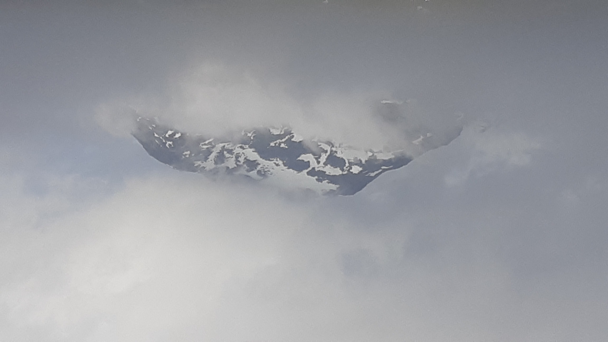
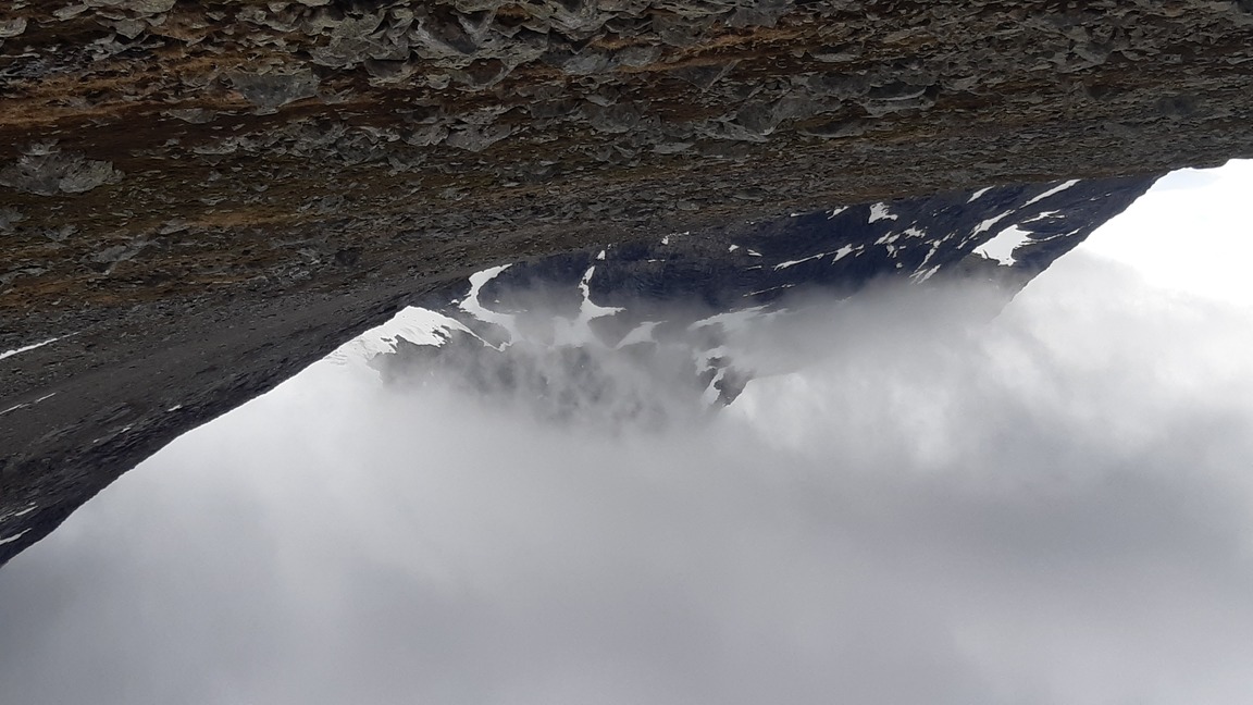
Around 0 to 5°C at night, 5 to 10°C during the day - warmer on sunny days, well below zero at high elevations. Strong and highly unpredictable winds. For the first time ever on a "summer" hike, I was caught in a full-blown snow storm at the top of Glittertinden (~2400 m), and it snowed persistently at lower elevations on several occasions. As soon as the sun comes out, it feels warm enough to walk in nothing but the baselayer, but the subjectively perceived temperature drops by ten degrees or more as soon as there is a bit of wind and clouds. Overall, the climate is very similar to the highlands of Iceland.
Trail: very well-marked and well-trodden trails in practically every major valley. At least some trails are maintained in winter as well.
Equipment
6.5 kg base weight (including ice equipment) + 5.5 kg of food and fuel.
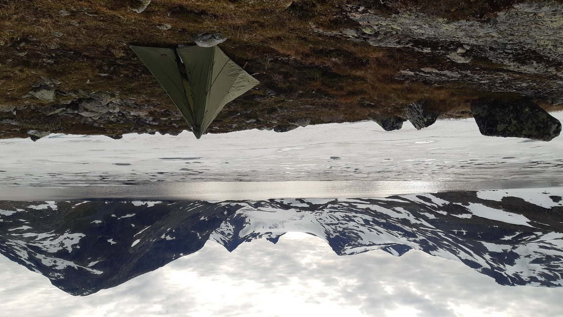
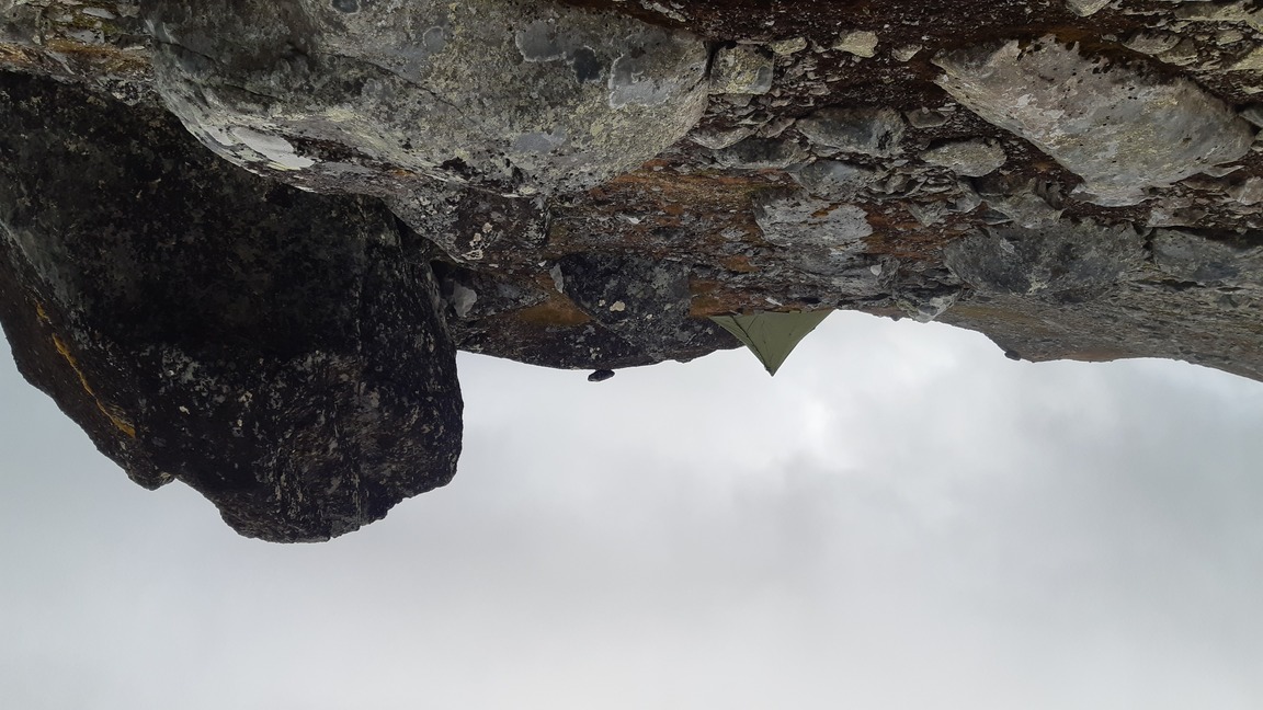
Frankly, crampons and an ice axe are not essential, even if summitting is an ambition. I did use them on some questionable snow slopes with a bit of slippery crust, but it would have been possible to navigate around such obstacles, saving 1.5 kg of weight. In contrast, I was immensely grateful for the luxury of a warm inflatable sleeping pad (XTherm, the same I use in winter). It added at least 5°C to the temperature of comfort, not to mention that bare rocks became as soft as mossy turf. As a result, I could comfortably kip on very rugged surfaces at high elevation, dry river beds, etc. The contrast with the misery of sleeping on a thin, half-length foam pad in Breheimen was dramatic indeed. Once again, the pyramid shelter proved superbly weatherproof: on quiet nights I raised it a bit off the ground to improve ventilation, while on stormy nights a low pitch provided 360° protection. In general, I have seldom been so comfortable in camp in such foul weather, with little or no weight penalty. For more details on the equipment and food used on this trip, see spreadsheet.html.
Oh, and a final tip: for the first time in summer, I routinely used a combination of warm sleeping socks + plastic bags to keep my feet warm on the highest summits. It really works like magic, making trail runners feel as warm as winter boots!
Logistics
I started and ended the hike in Tyinkrysset - a little village with the cheapest bus connections to Oslo. This means walking ~20 km to the park proper on unpaved roads with surprisingly heavy traffic, which is boring but fairly quick. Now I think that there are some buses that penetrate further into the park, and there are definitely roads / parking lots everywhere - like much of Europe, Jotunheimen is sadly overdeveloped when it comes to tourist infrastructure. It should therefore be possible to get closer to trailheads or make day excursions from different locations around the perimeter.
Maps
Paper map: Calazo Jotunheimen, 2 cm = 1 km. Offline maps on the phone via Oruxmaps. Online topographic maps on norgeskart.no.
Detailed route with campsites. Note that I spent roughly the same amount of time on the trail every day except for day 1 (started at 1:30 pm), but the mileage varied tremendously depending on the terrain. Much of Jotunheimen is Arctic desert covered with talus or snow, which means that even when there is an official "trail", you are still hopping from stone to stone or trudging through snow, which is slow work indeed.

Days 1-2: Tyinkrysset to the foot of Galdhöpiggen
Tyinkrysset is an unassuming little village boasting some ski runs, a large tourist station, and very laid-back sheep that roam the streets and poop in the wind-sheltered comfort of the bus stop. It takes about an hour to walk up an asphalted road to the enormous lake of Tyin. Once there, the real mountains are tantalizingly close, with snowy slopes and peaks clearly visible on the western and northern shores, but in fact it's nearly another 20 km until the road finally terminates in Fondsbu / Eidsbugarden. I got off the bus around 1:30 pm, half-dead after two nearly sleepless nights, and trundled glazed-eyed until I finally reached the trailhead in Eidsbugarden around 6 pm. Ironically, this was the nicest, warmest day of the entire hike.
From Eidsbugarden, I took the well-marked trail straight north into the charmingly named Mjölkedal ("milk valley" in Norwegian) and pitched my tent on the shores of a half-frozen lake at ~1300 m.
The night was still and cool (5°C), I slept like a baby for 10 hours and woke up feeling incomparably refreshed. Truly, sleep deprivation is the worst enemy of mind and body... Anyway, the hike proper could begin! It was sunny in the morning, but it got cloudy within a few hours, so I didn't attempt to climb any of the surrounding peaks but simply pushed north along different trails for many long hours.
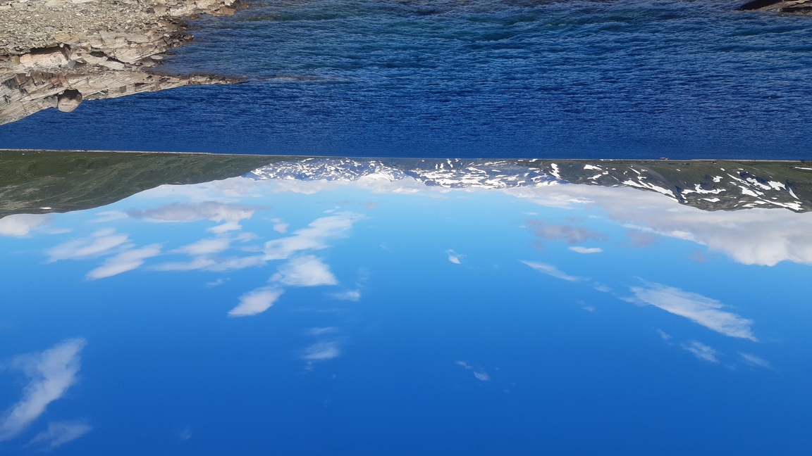
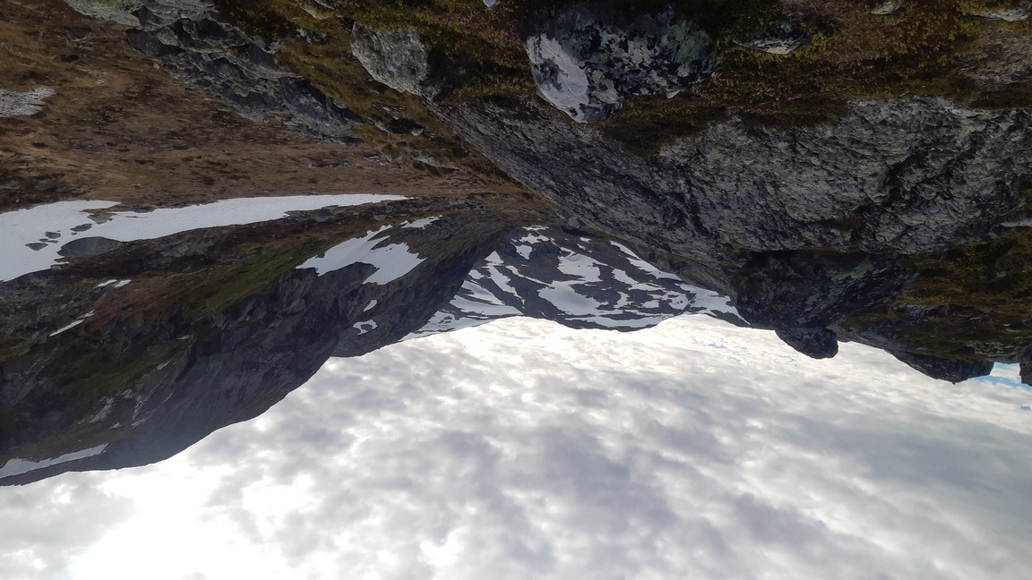
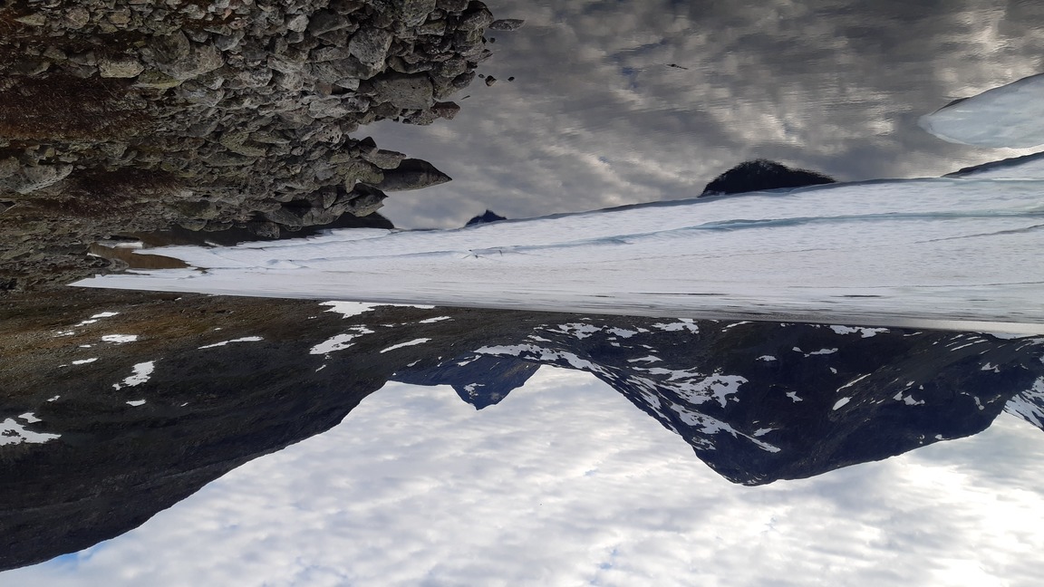
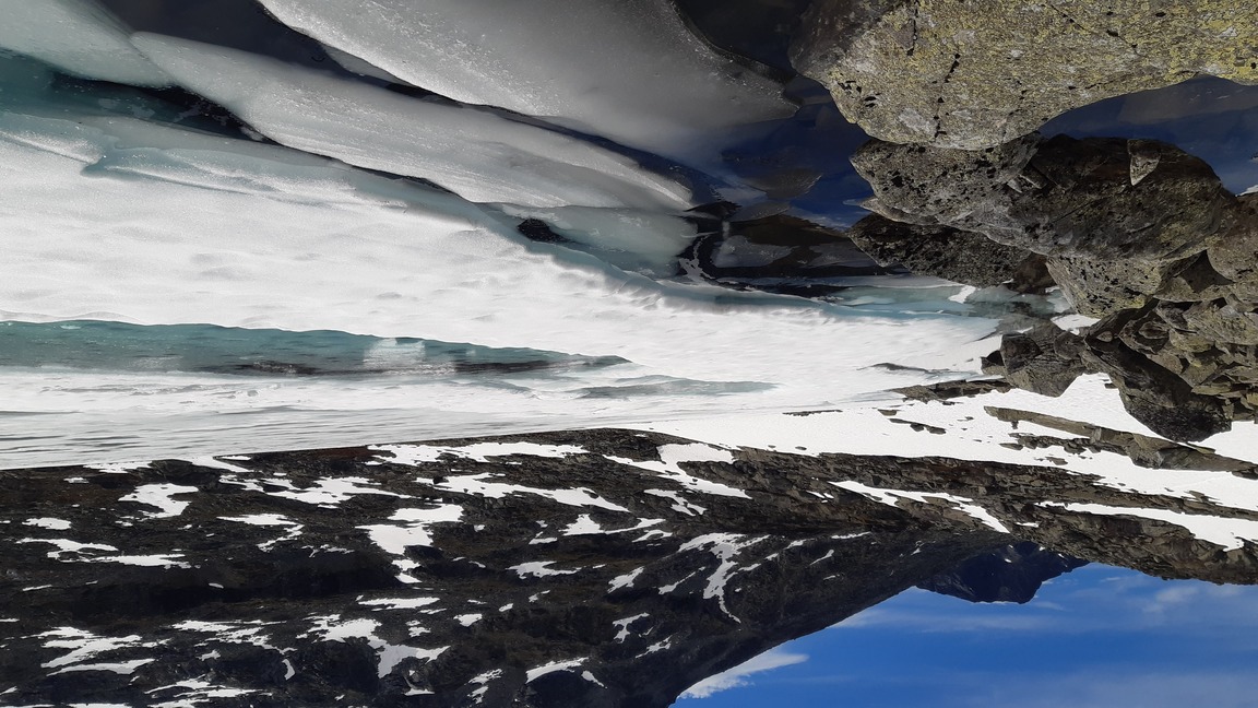
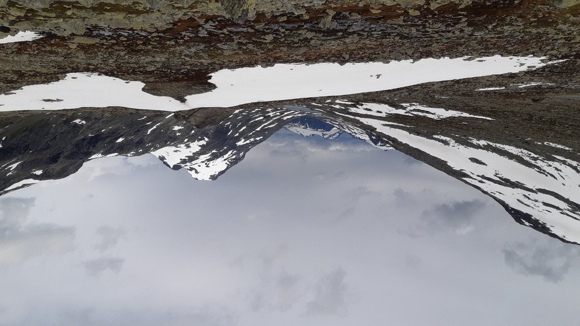
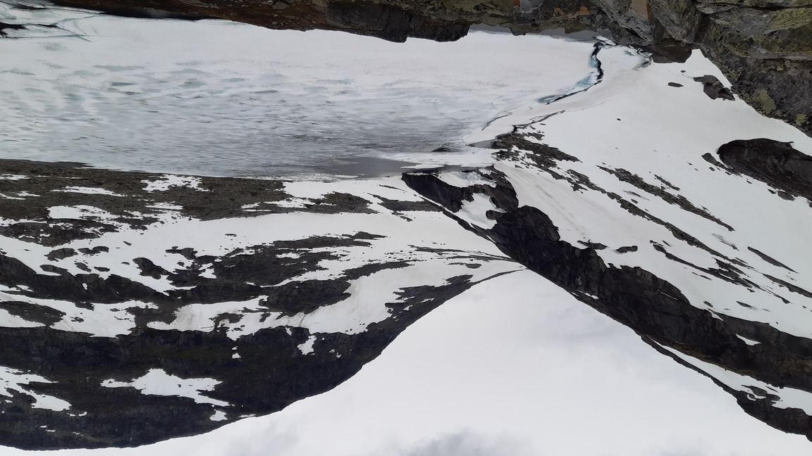
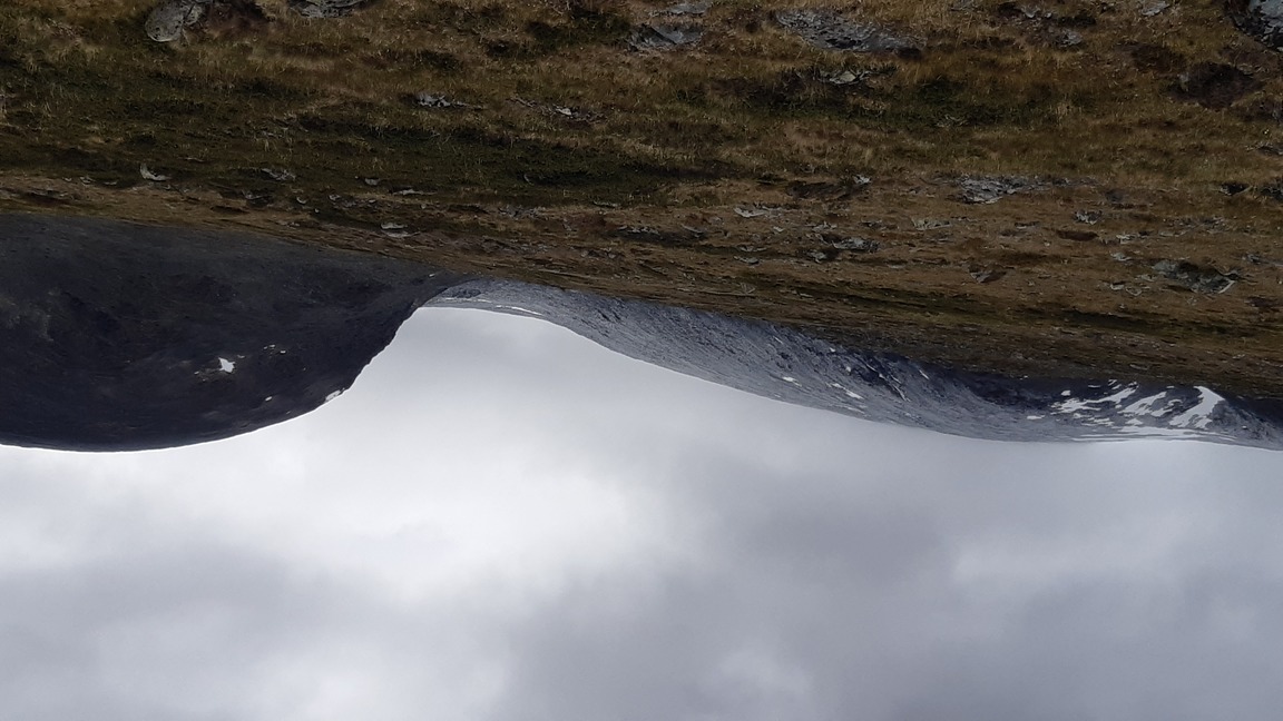
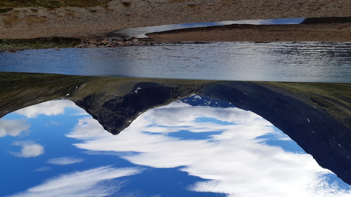
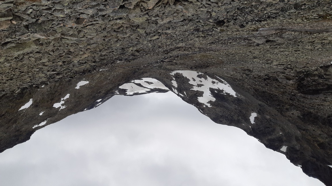
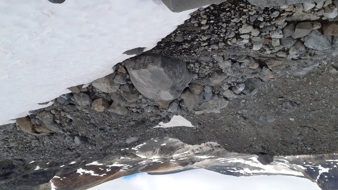
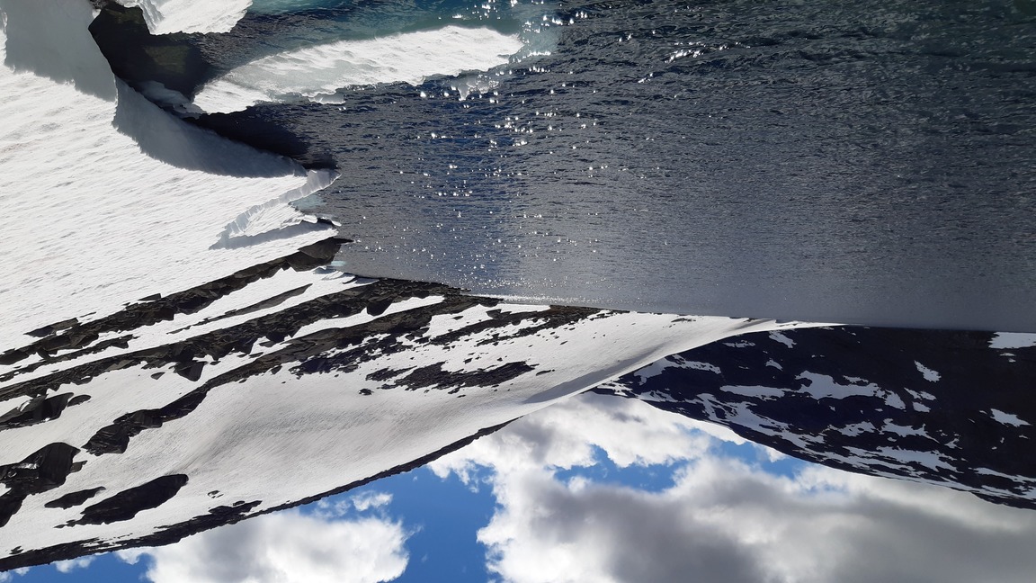
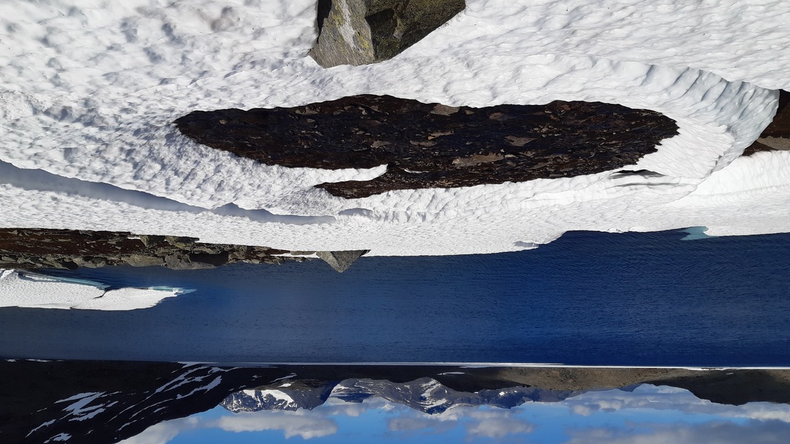
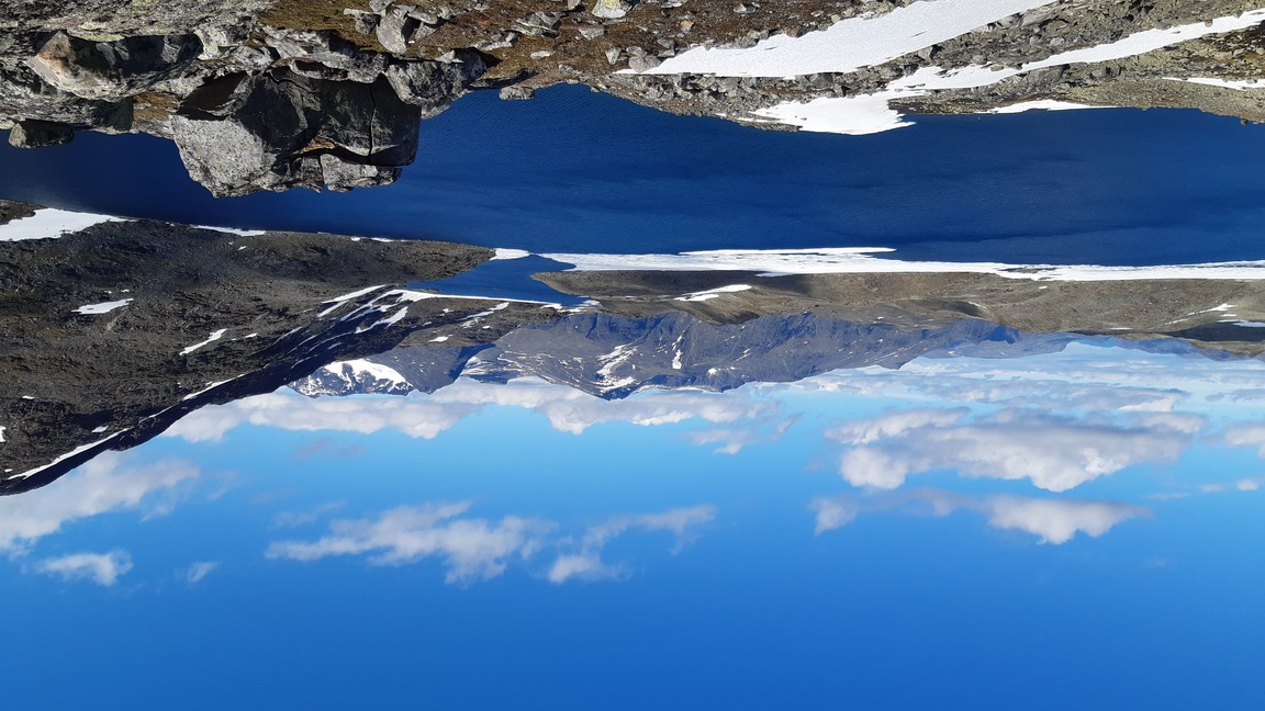
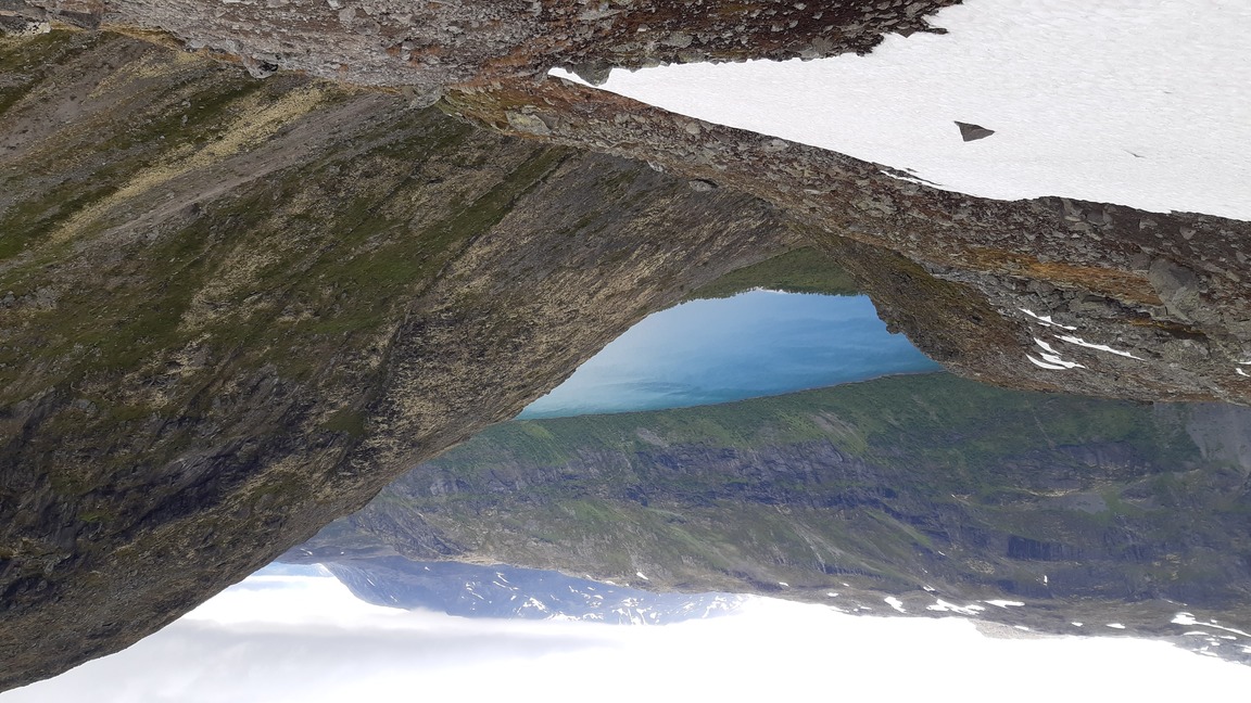
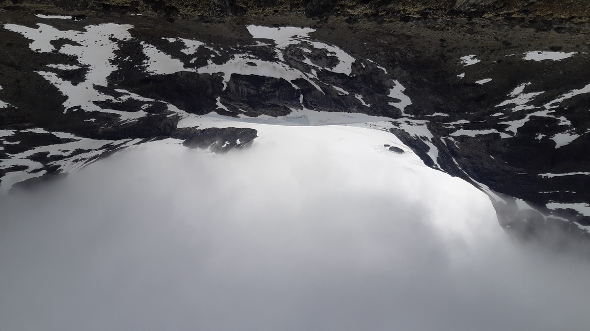
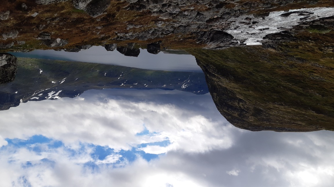
The terrain in Jotunheimen is often rough and high, with little or no vegetation and a surprising amount of snow still remaining on the slopes so late in the season. Among the greatest highlights are the many lakes at different stages of melting.
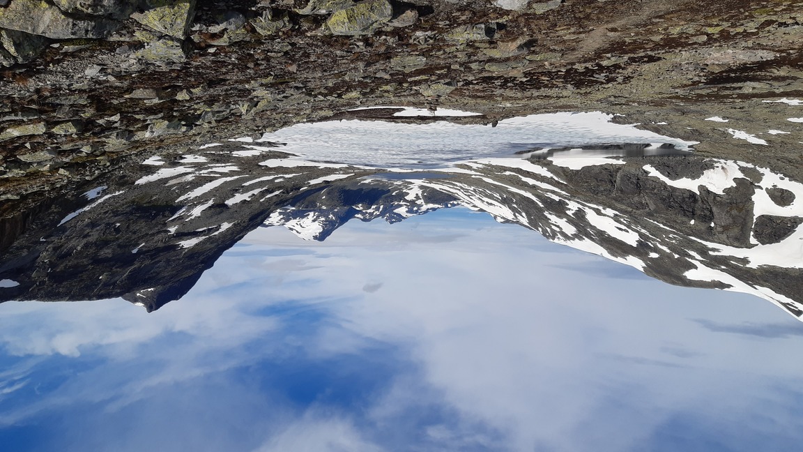

Heavy rainclouds rolled in towards midday, lending the landscape a vaguely threatening character. I kept marching north in the intermittent drizzle and essentially crossed the entire park, camping just a few km short of the northern edge of Jotunheimen, practically at the foot of Scandinavia's highest peak, Galdhöpiggen.


Days 3-4: on the beaten track (Galdhöpiggen and Glittertinden)
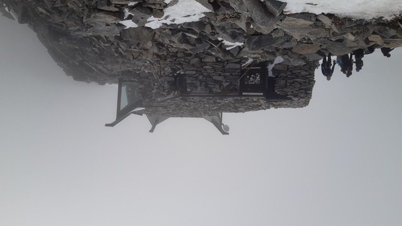
OK, so I thought I'd give Galdhöpiggen (2469 m) a chance, having avoided it as altogether too mainstream and touristed back in 2017. And guess what - it is over-crowded, over-rated, and unashamedly kitsch to the extent that it's rather amusing. I mean, come on, they actually built a coffee shop at the summit, need I say more? On the way down I took an alternative route over the glacier, which terminates at a parking lot and a hotel at an altitude of 1800 m. Charming.


It's all very well to laugh at organized mountain climbing, but the day was a long and exhausting one nevertheless. I walked briskly for two hours before even beginning the climb, and then I felt obliged first to overtake all those hundreds of climbers who had set out before me, and then eventually to veer off the main route to the summit. The presence of so many fellow human beings does make me nervous... In any case, I felt completely spent towards the evening, so I did not go all the way down into the valley but camped a bit below the parking lot off the glacier route, still at a respectable altitude of ~1700 m. It took me another hour or so to descend the next morning, after which I immediately began climbing again and reached the foot of Glittertinden before midday.
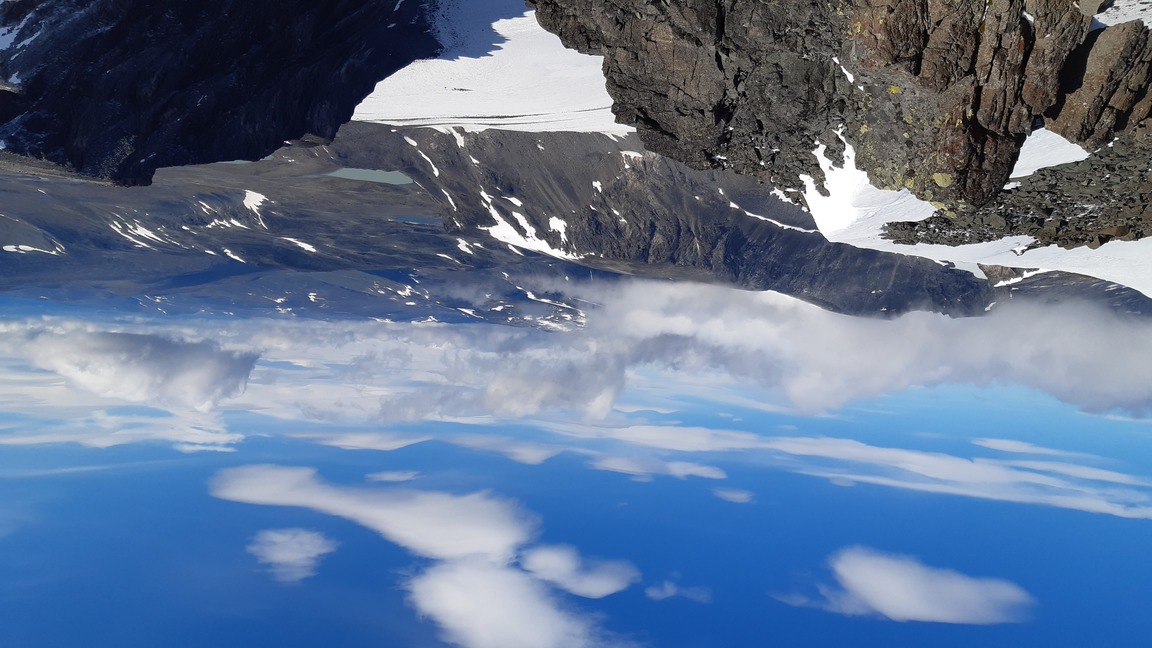
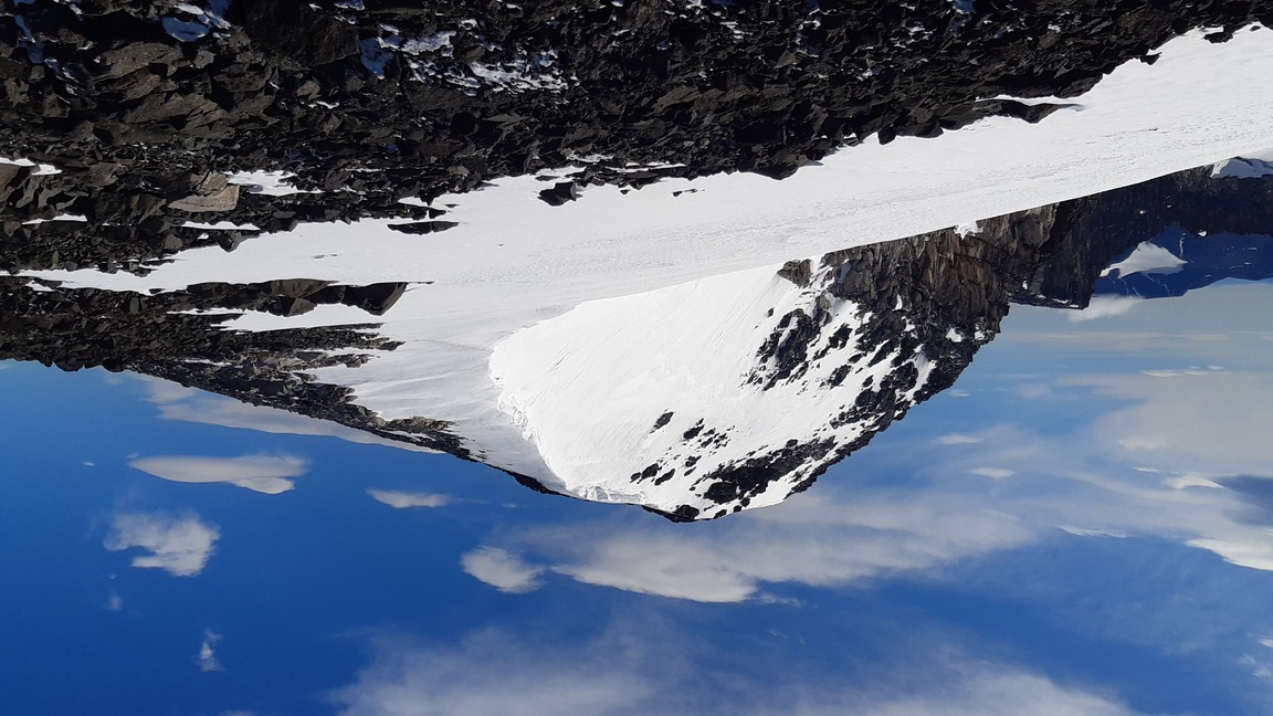
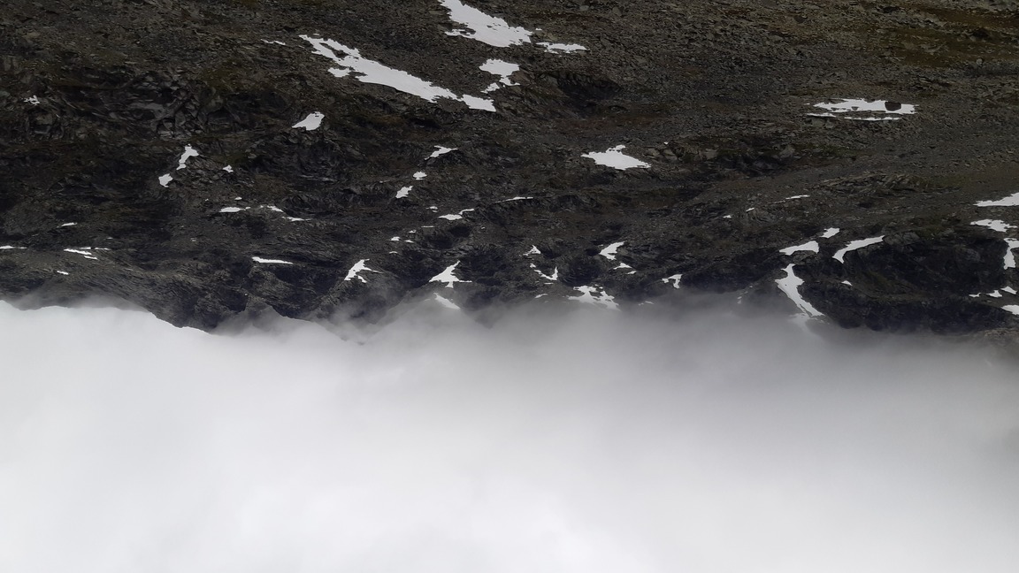
So, Glittertinden... Glittertinden is the second highest peak in Norway (~2452 m). There were no crowds climbing this one, but it proved a big disappointment because of the weather: I got my fair share of snowing and blowing, but no views at all. What impressed me was that I did meet a few hardy Norwegians who also summitted in the atrocious weather, and who somehow managed to do so with big happy smiles. There was even a husky, also smiling as it trudged up the glacier into the snowstorm with packbags over its furry back. Sturdy folk.
The climb itself is very easy on both western and eastern slopes of mount Glittertinden (something for next winter adventure?). However, I first had to cross the deep Visdalen valley. Adding up Galdhöpiggen on the previous day, this meant climbing well over 3 km up and down in two days. This vertical, Alpine style of hiking was a big change from the relatively flat, long-distance hikes that I am used to. It was interesting to compare the different strategies I used on these two climbs: I raced up Galdhöpiggen at top rate on my aerobic fitness, burning tons of calories and exhausting my energy reserves to the extent that I felt like a piece of jelly in the evening. In contrast, I walked up Glittertinden slowly and methodically, and twelve hours after setting out in the morning I was still pretty fresh. It's like the difference between traditional and light hiking - just 5 hours of sweating under a 30-kg backpack can be more exhausting than twice as long under a light load. For ambitious expeditions with a lot of mileage, including winter trips, it is probably essential to keep the average exertion level as low as possible, burning body fat and avoiding prolonged periods of intense aerobic activity. Food for thought...

Days 5-6: off the beaten track
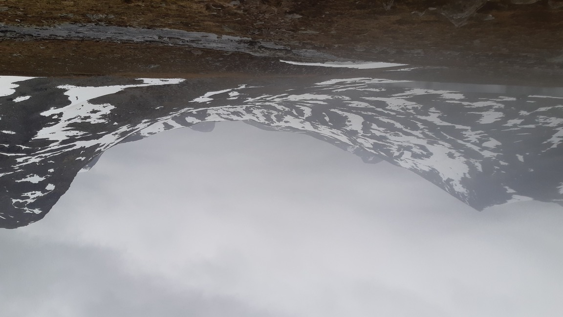
It snowed on and off throughout the evening and night and there was frost on the ground next morning, even though I had descended to ~1300 m and camped within sight of the mountain lodge of Glitterheim. However, the skies were beginning to clear, and in general I was not bothered by the cold - in my opinion, subzero temperatures with decent visibility are infinitely preferable to the wet misery of +5° in a cloud.
I quickly marched south, past the scentic lake of Russvatnet, and followed the trail as far as the pass above lake Gjende.
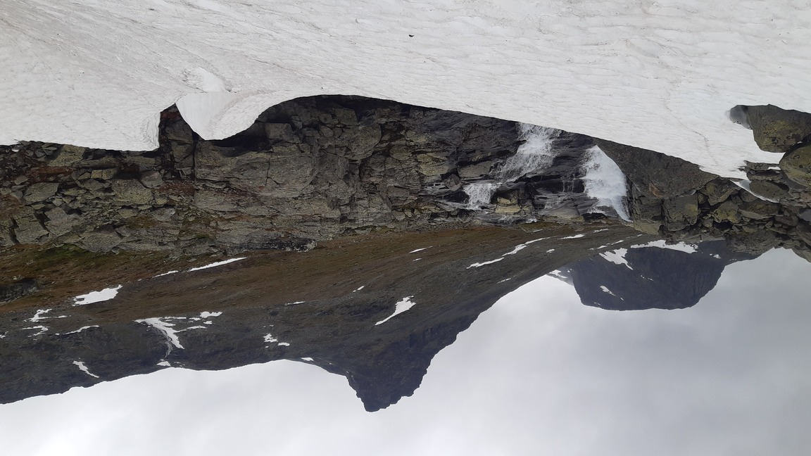
The weather looked good, so at this point I veered off the trail and went north-west into a desolate valley called Hestdalen, which is a desert of bare rocks with increasingly high-altitude and half-frozen little lakes, culminating in a snowy bend of the valley right underneath the peak of Sörtoppen. I found what I thought was an amazing campsite there: well protected from the prevailing western winds and strategically located right at the foot of the peak that I could climb first thing in the morning. Granted, it was snowing freely in the evening, but I thought the night would be calm and relaxing. Little did I expect that I would have to rush out several times at night, piling on more and more rocks to hold the flapping tent in place and trying to block the drifting snow! So what happened? My best guess is that it was a particularly nasty katabatic wind: it picked up after midnight and blew in ferocious gusts downslope from the peak and into the valley below. Live and learn! One is just never safe from surprises in the mountains :))

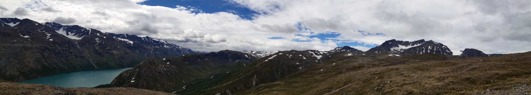
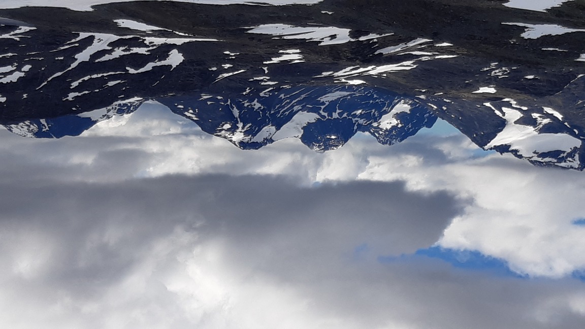
The next day was my best day of climbing on this hike, with great scenery and perfect weather. After some exciting climbing on the uncharted and actually pretty steep slopes of Sörtoppen (2300 m) I followed the ridge up to the main summit of Surtningssue (2368 m) and enjoyed fantastic views before leisurely descending west into the valley of Memurudalen - a large glacial valley with tremendous moraines and snow-covered slopes all around.
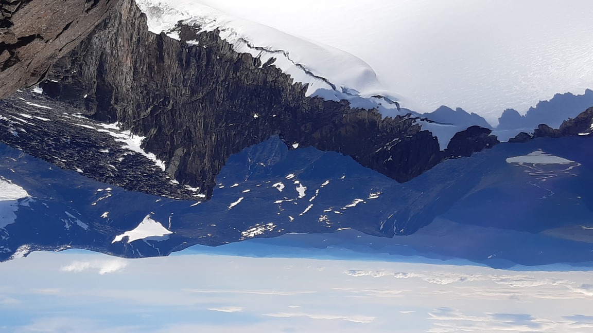
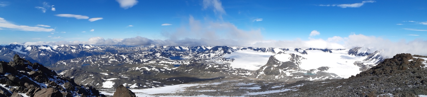


Once back at the bottom of the valley, I headed south-west, around and over the tip of a large glacier called Vestre Memurubrean. The idea was to camp under the next mighty peak on my way - Semeltinden - and hopefully climb it the next day, weather permitting.


Days 7-8: hiking out
Alas, the next day weather was not permitting - quite the opposite. It started raining during the night and just continued pretty much uninterrupted until the end of the hike. Remembering my experience at Glittertinden, I didn't even attempt to climb Semeltinden, although it was heart-wrenching to just walk past it... Ah well, can't climb them all. I focused on covering a lot of ground instead during the last two days, making a large loop through great scenery between lakes Gjende and Bygdin.
It was straightforward to descend to lake Gjende, from where I took the apparently quite popular route south to Torrfinbu at lake Bygdin. The initial climb from Gjende was impressively long and steep, but after that the valley was nearly flat.

To save some time, I didn't descend all the way to Bygdin but simply circled the slopes straight into the next valley to the west (Langedalen) and from there followed the less popular (judging by the paucity of tracks on snow fields) route west to Fondsbu, thus completing my tour of Jotunheimen at the same spot where I started it a week earlier.


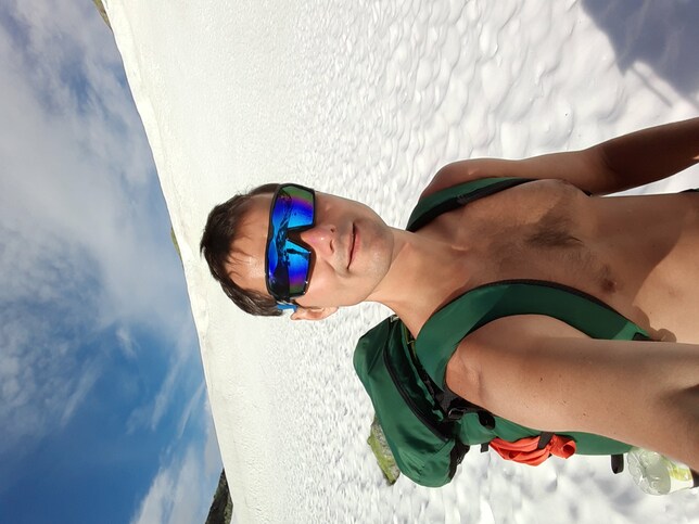
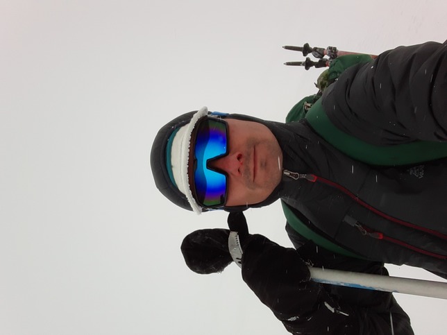
Hey, wait a second! And where are the selfies? Oh yeah, I was there, in a variety of garbs :))