Kungsleden 2017
When
10-17 March 2017, 7 days of skiing
Where
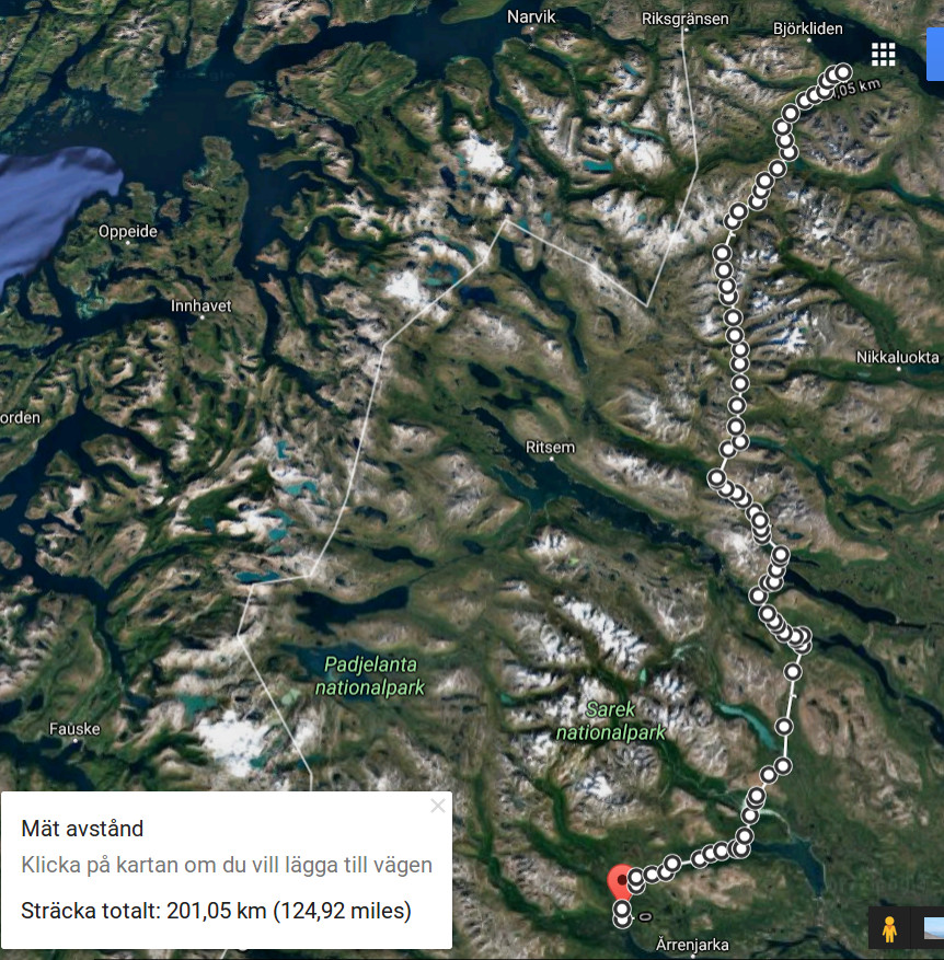
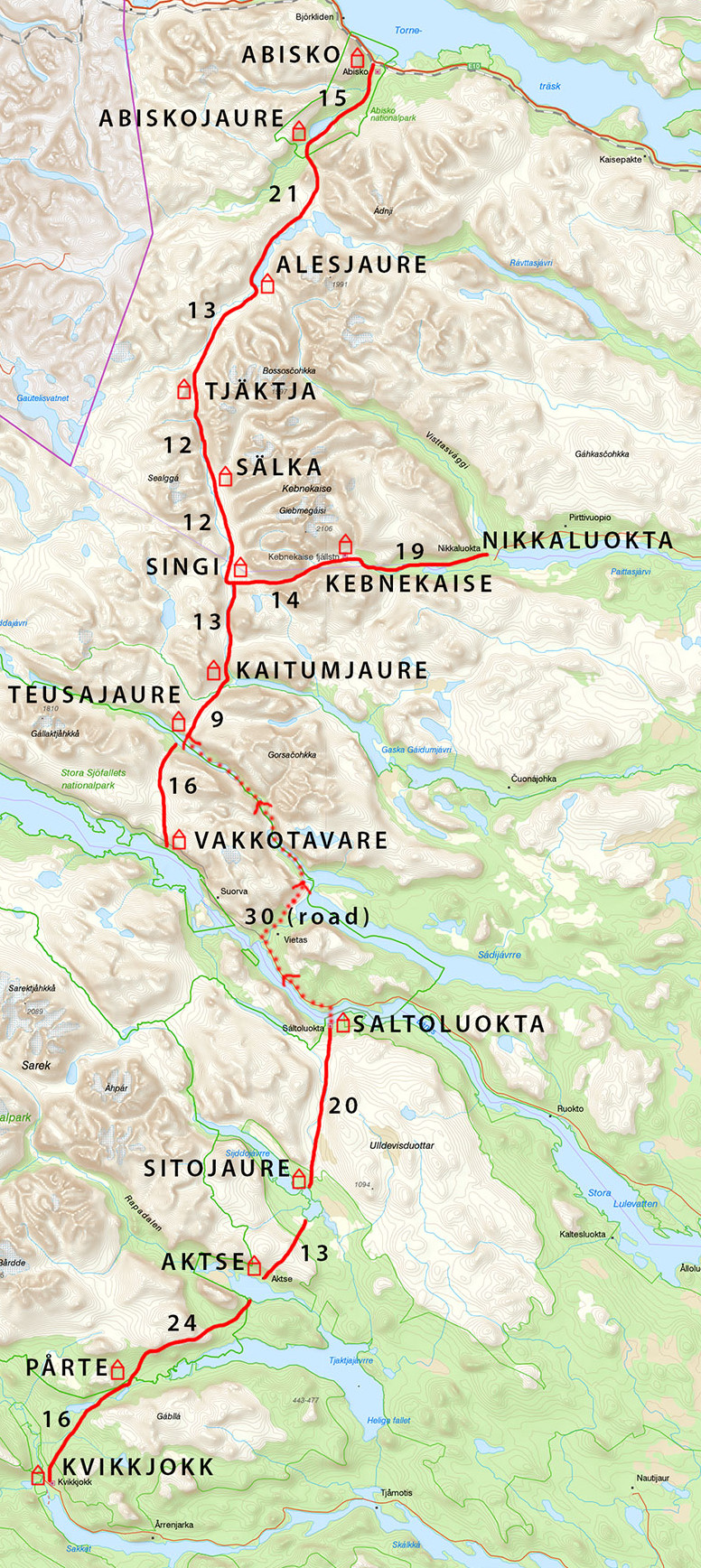
Kungsleden between Kvikkjokk and Abisko, Sweden. Very roughly, the route was as follows:
I followed Kungsleden most of the time. The only trick worth mentioning is that it is easy to avoid much of the road section between Saltoluokta and Vakkotavare, where the official guidelines say you have to take a bus, by doing a little cross-country and following an unmarked scooter trail between Vietas and Teusajaure:
Weather
Elevation 350 to 1100 m. Temperature -10(15)...0°, wind 0...20 m/s. Heavy snowfalls, poor visibility for three days, including two half-days of blizzard. Trail: snowmobile tracks, deep unbroken powder below treeline and/or during snowfalls, packed snow above treeline and on lakes.
Equipment
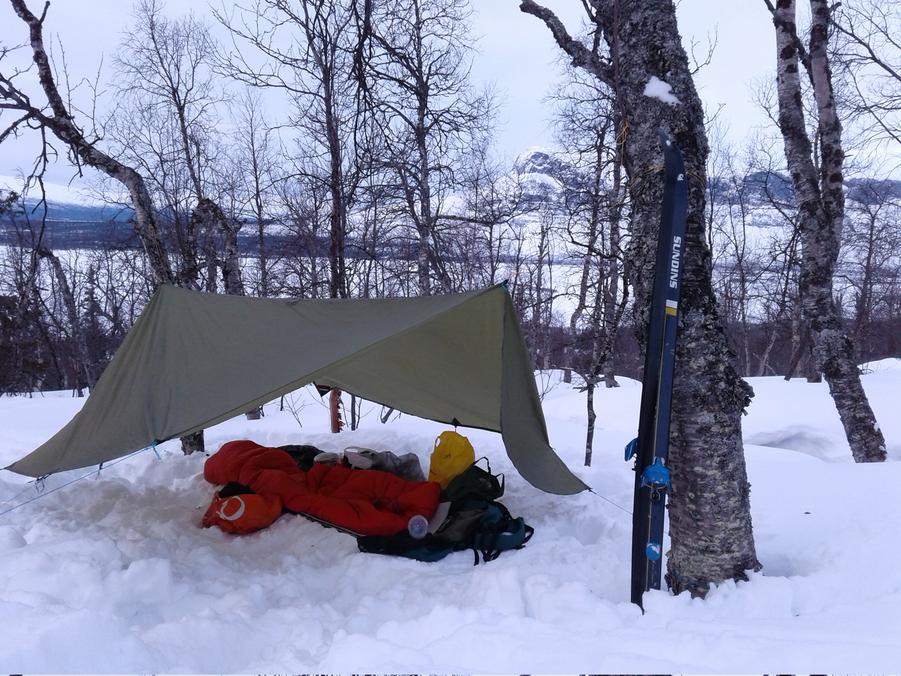
6 kg base weight + 6 kg of food. Skis: recreational waxable cross-country skis (second-hand, presumably from the 90s some time), nordic 3-pin bindings, soft leather boots. Shelter: flat tarp pitched on skiing poles 6 nights, emergency hut during the blizzard 1 night. Water: a few unfrozen streams below 500 m, waterholes at every hut along Kungsleden, otherwise melt snow. For more details, see spreadsheet.html
Logistics
Abisko sits on the main train line from Stockholm to Narvik in Norway. Kvikkjokk, in contrast, is very hard to reach, with a single bus per day and none on weekends. Other access points reachable by public transport are Saltoluokta and Nikkaluokta. A good starting point for booking trips by train and by bus in Sweden is sj.se
Mission
This was my first multi-day skiing hike. I learned cross-country skiing as a child and had previously been on two solo winter hikes in Scotland, but those involved walking rather than skiing. My prime objective was thus to acquire some basic skills needed to survive in the Scandinavian mountains in winter and to estimate the appropriate equipment for future expeditions. Kunsgsleden is well marked and offers several evacuation options, making it a good place to test one's winter wings. In good weather, and walking hut-to-hut, this can be experienced as a kind of playground. Even so, winter weather is often unpredictable, and deep snow in combination with strong winds and whiteouts raises the difficulty level. Ye be warned.
A note on the choice of skis. Normally, Kungsleden is well-trodden by skiers and, on sections with non-restricted scooter traffic, also by snowmobiles. Under these conditions, pretty much any skis will do, and you may even be able to skate. If you read Swedish, this is the most detailed first-hand report I've found: this guy skied the entire way from Abisko to Hemavan in just 7 days using very light equipment. (Observe: we are talking good weather and staying in huts.) If it snows heavily and/if you want to leave the trail, the snow below treeline is likely to be deep and powdery, making it impossible to walk without really broad skis with skins. Above treeline, it is usually so windy that the crust is hard, except during or immediately after a snowfall. So in a sense, high-elevation plateaus are easier than deep valleys. There are few steep sections on Kungsleden, but even relatively gentle descents can turn perilous if the path is icy and if you exceed the speed at which cross-country skis can be effectively controlled (disclosure: I broke my ribs and damaged a ski binding on one such descent). The impression I left with is that some form of telemark skis or sturdy back-country skis would be the most appropriate choice for this terrain.
Days 0-1: Kvikkjokk to Aktse
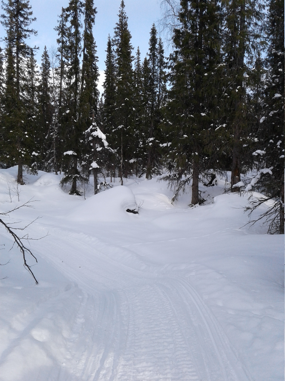
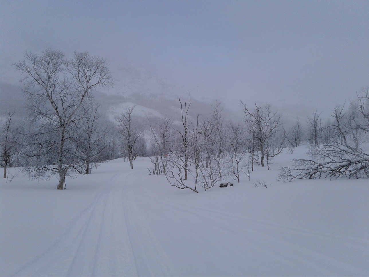
My bus arrived in Kvikkjokk precisely at sunset, and it was almost dark by the time I had reached the trailhead and repacked. However, it was a calm, cold, moonlit night, so I skied for a couple of hours before camping in the woods. The trail climbs steadily from Kvikkjokk, which lies in a river valley, but the stretch from Pårte to Aktse is almost completely flat. The perfect weather conditions next morning, with daytime temperature just below zero, no wind to speak of, and a well-used scooter trail, made skiing this stretch very enjoyable. On the other hand, camping in the deep fluffy snow below treeline is complicated business. The big advantage, especially with a tarp, is that trees can be used as anchor points for guylines, and that even the stunted birchtrees offer some protection from the wind. The disadvantage compared to high, wind-swept plateaus is that the snow is extremely deep and soft, making it very hard to break trail. You also have to trample down a platform for the camp, but even so my legs sank hopelessly as soon as I took off the skis.
Kungsleden has two separate trails: one for the summer and another for the winter, with a lot of overlap between the two. For example, the summer trail from Pårte to Åktse climbs over a sort of bluff (see the map above), while the winter trail follows the valley instead and leads over the frozen lake Tjaktjajavrre. It sure speeds things up: lakes are not only flat, but also among the easiest surfaces for skiing, since the wind tends to pack the snow into a nice, hard crust. Still there is something disappointing about seeing the mountains all around and staying down in the valleys:
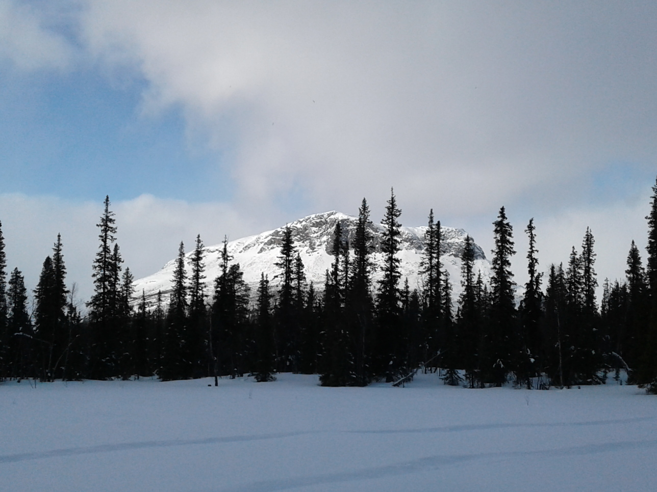
An old scooter trail leading up the famous Rapadalen and into Sarek, making me nostalgic about my wonderful time there in the summer of 2015. It didn't take me long to realize that it would be a whole new ball game to venture off the beaten track and into true winter wilderness, requiring broad skis with skins at the very least. So I stuck to Kungsleden and saved Sarek for later winter trips.
My second camp. I simply tramped a platform in the deep powder and stretched my tarp between two birches next to a little unfrozen brook. Fresh water and lovely views - just pray no snowstorm strikes...
Day 2: Aktse to Saltoluokta
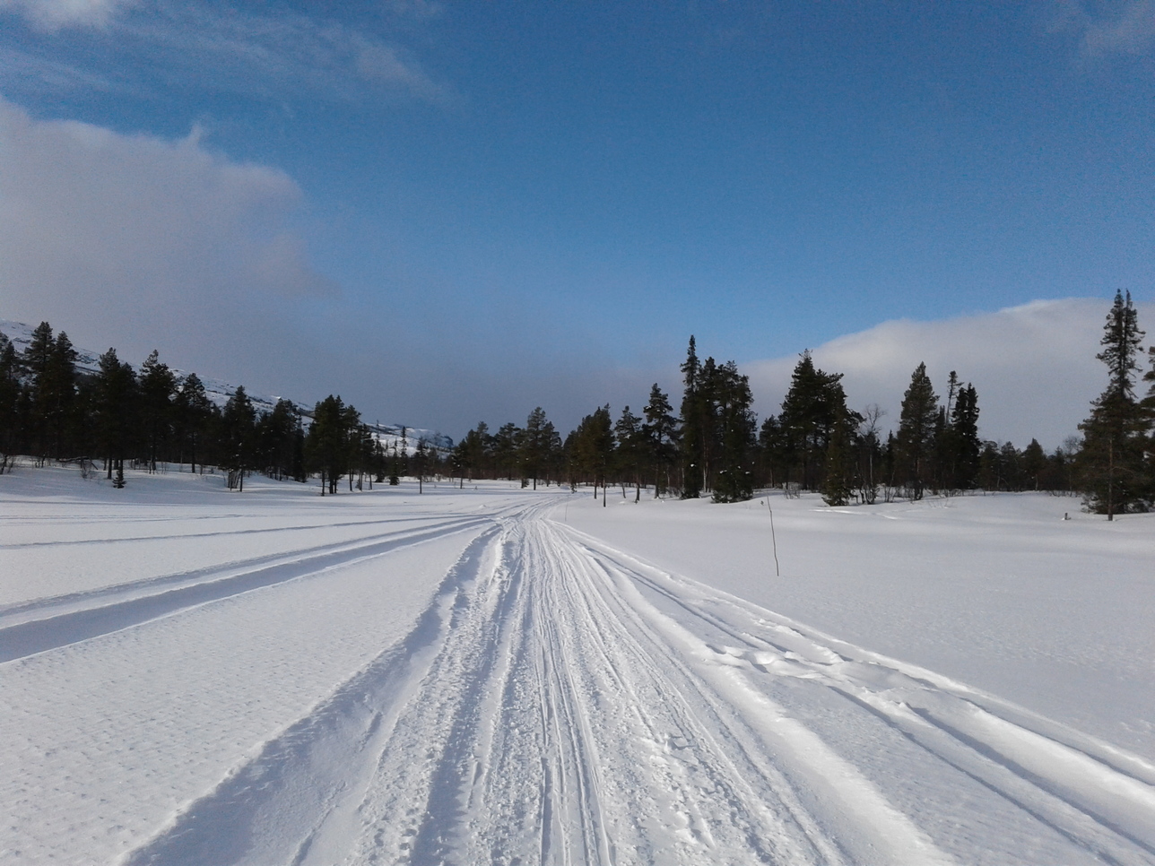
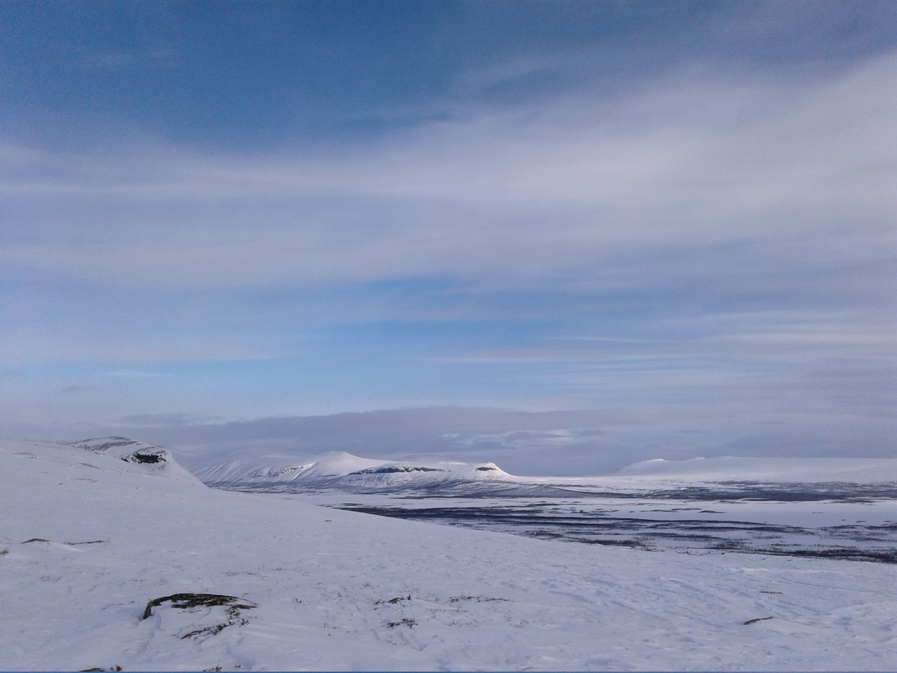
Another relatively flat and easy stretch, which went very fast thanks to the fair weather. Some parts are above the treeline:
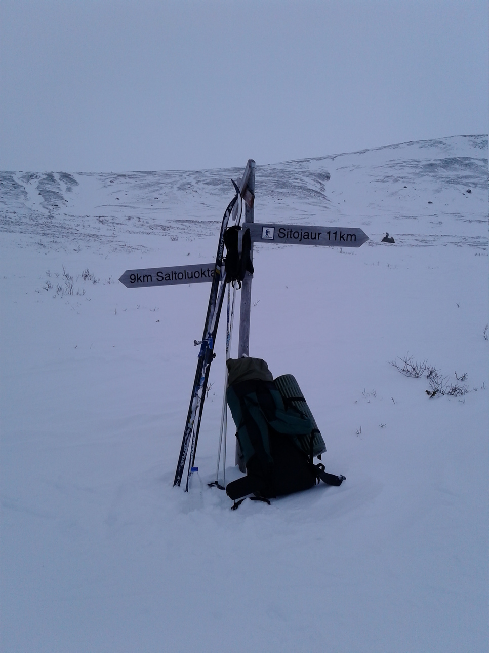
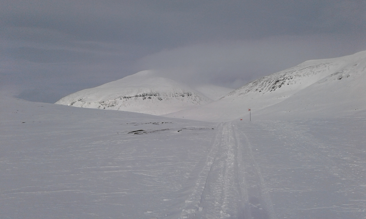
The route is very well-marked, with red poles every 50 m and large crosses at turns and intersections. This seems superfluous in good visibility, but these poles really grow on you as the fog descends.
Day 3: Saltoluokta to (north of) Stora Sjöfallet
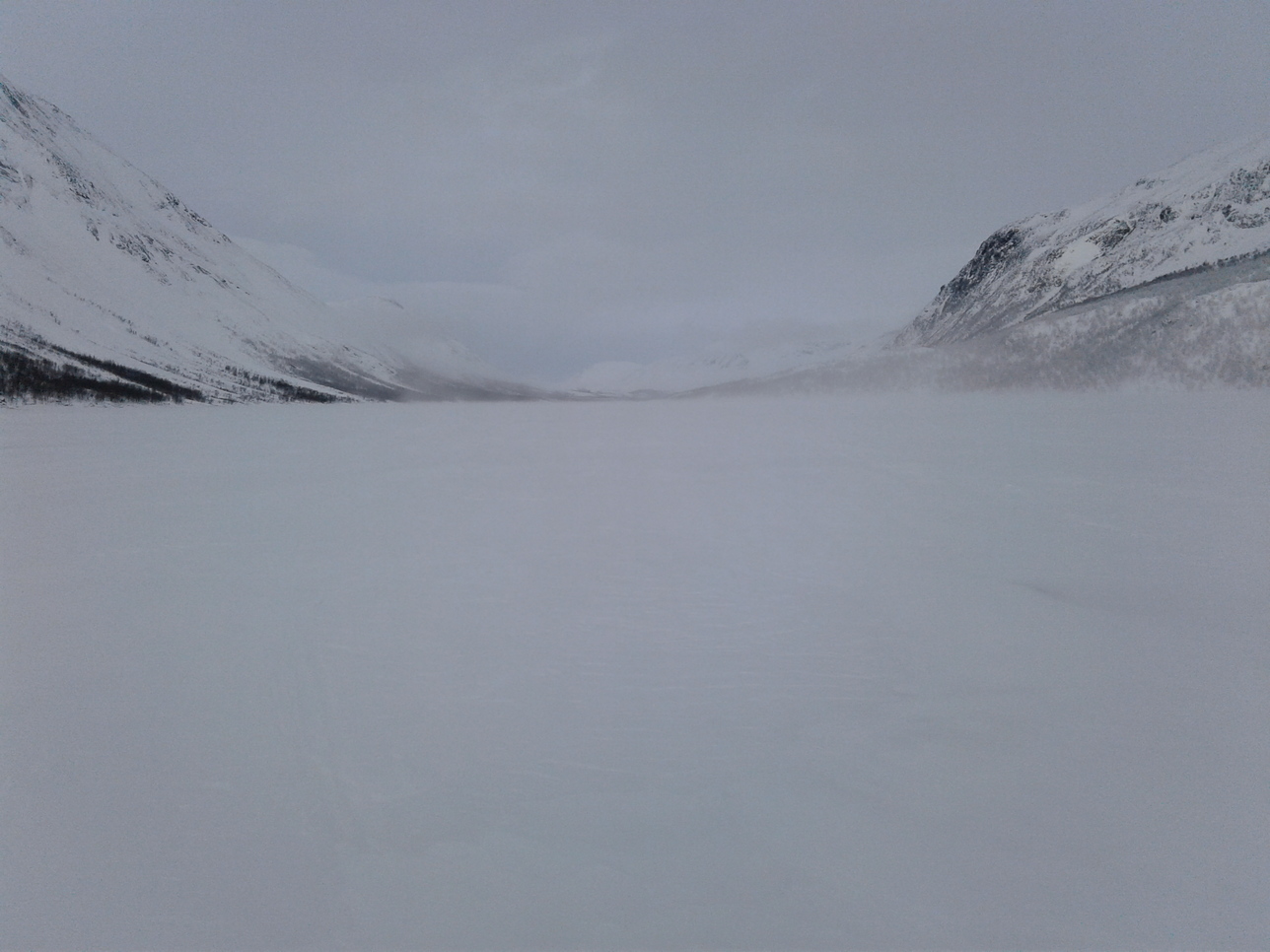
Saltoluokta is a large, busy mountain lodge with a lot of tourists and scooters. There is a marked winter route across Luleälven. The ice here is treacherous because of the dam in Vietas, so it's a good idea to stick to this route. Then there is a gap in Kungsleden, which continues in Vakkotavare 30 km down an asphalted road. Instead of catching a bus, I skied along the shoulder of this road to Vietas and from there followed first a minor unpaved road and then scooter trails around Stora Sjöfallet national park. It's not the most fascinating stretch until you leave Vietas well behind you and approach Stora Sjöfallet. But the narrow gorge leading to Teusajaure is quite picturesque, getting wilder and better the further you go. I was lucky enough to find a decent scooter trail, some running water, and even a conveniently located grove of birches to kip in.
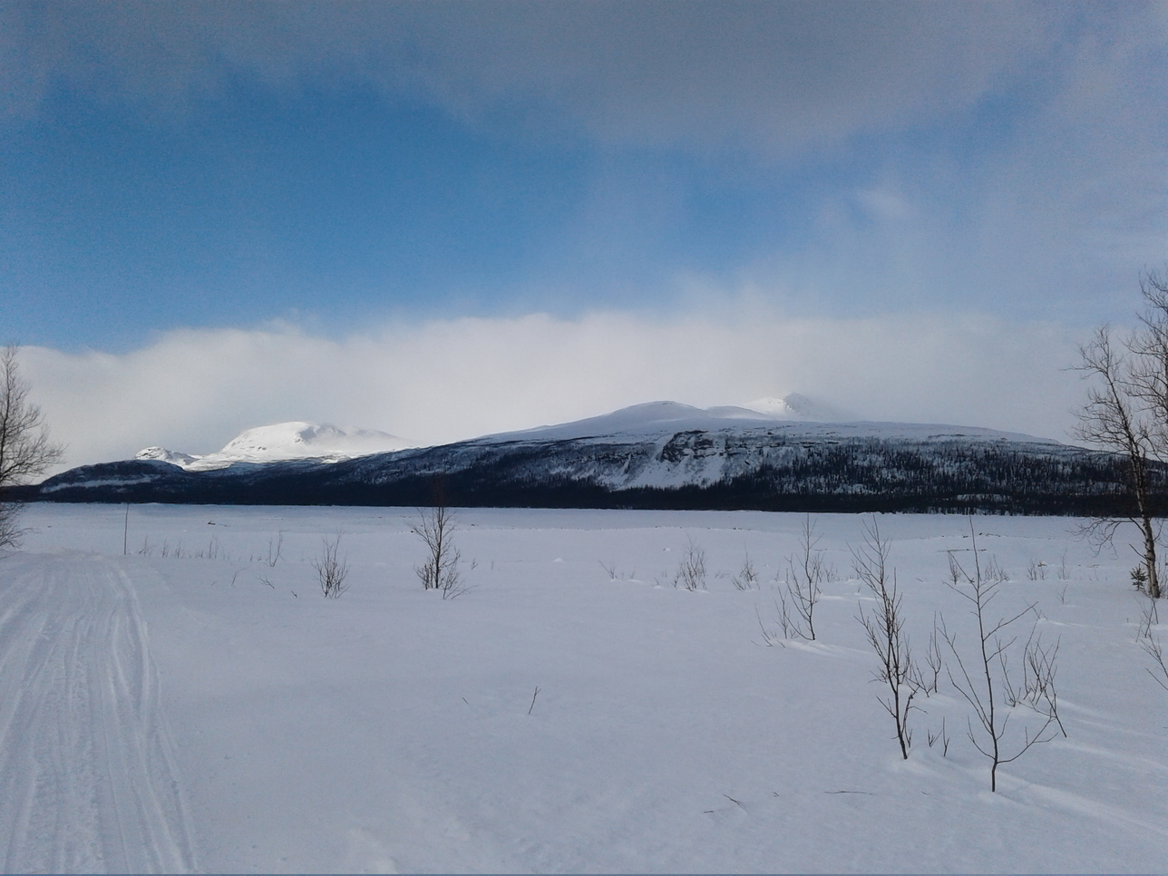
Seizing my chance to dry out my sleeping bag, as the sun warms up the air to 0°C in the tundra just east of Stora Sjöfallet. The downside of this balmy weather was that snow buildup on the skis was beginning to slow me down.

Day 4: Stora Sjöfallet to Kaitumjaure
The weather was no longer quite so balmy. The morning was cold and humid, with heavy hoarfrost on the branches:
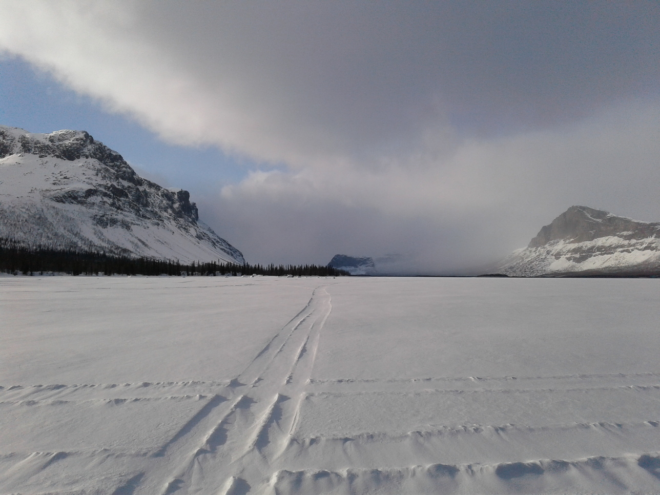
Then towards lunchtime a frisk wind picked up, lifting snow off the lake and relentlessly blowing it into my face as I was approaching Teusajaure:
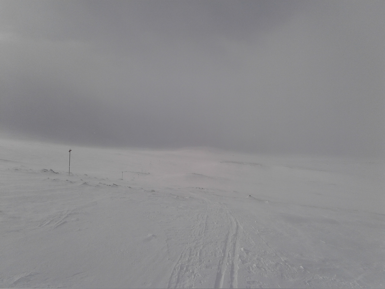
And then finally in the afternoon the snowfall started. The temperature rose back to zero, and the visibility dropped. This is basically all I could see over the next two days and 50 km:
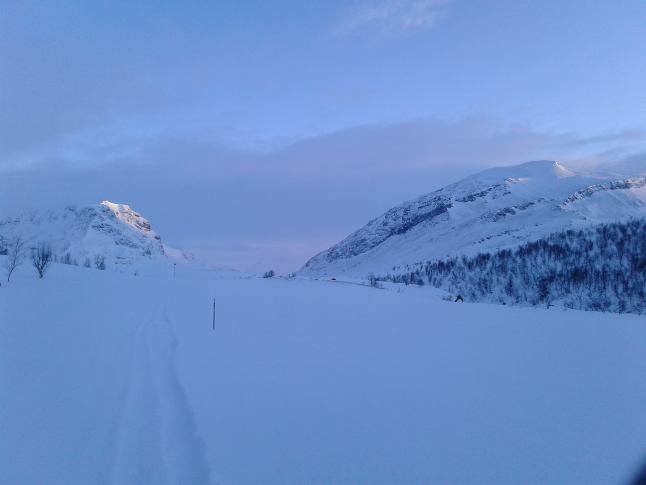
Day 5: Kaitumjaure to Tjäktja pass
I camped early on Day 4, since the snow kept falling, and the buildup on my skis made travel nearly impossible. I was hoping for lower temperatures in the morning hours, and indeed, Day 5 dawned promisingly cold and bright:
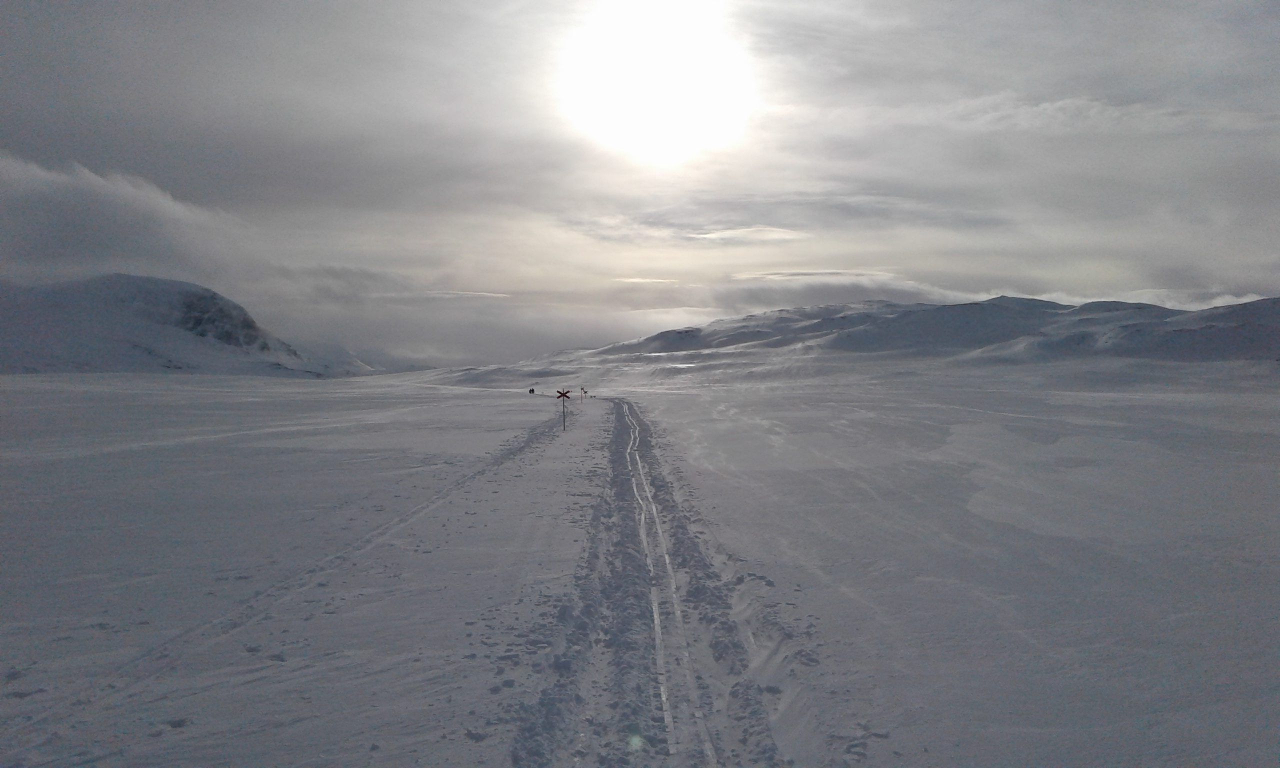
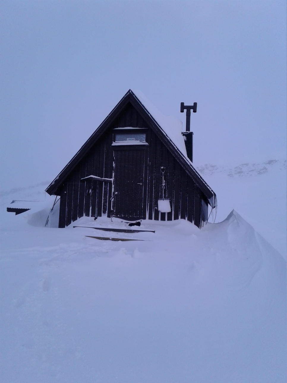
But within a few hours, the real storm began. First it snowed, then the wind picked up, and before long it was a real blizzard with gusts so strong that I had to lean into the wind and brace myself with skiing poles to avoid being blown over. Interestingly, I still met some groups skiing between the huts with their guides. The part of Kungsleden north of Singi is clearly much more popular, not to say crowded. As for the scenery, I really have no idea, since visibility was just a few dozen meters - barely enough to follow the trail. All I can say is that 12 agonizing hours later I reached an unmanned shelter at Tjäktja pass, the highest point of Kungsleden (~1100 m), and called it a day. Looking back, the smart thing to do would have been to dig a snowcave and stay put, but I was in a hurry to reach Abisko on time, having pre-booked my train tickets. Anyway, here is this sweet shelter; I owe it a lot:
Day 6: Tjäktja pass to Abiskojaure
The next morning the pass was covered with at least a meter of fresh, powdery snow, into which my narrow skis sank like two sticks. I couldn't even ski down the slope, not to mention the sorry state of my knees after the exertions of the day before. After a couple of problematic hours, however, it stopped snowing, and the unabating wind quickly started to form a crust. By lunchtime it was possible to ski normally, and I recovered some hopes of reaching Abisko in time to catch my train.
Snow driven by the hard wind the morning after a heavy snowfall. This is how the hard crust forms, which is so characteristic of open mountains above the timberline:
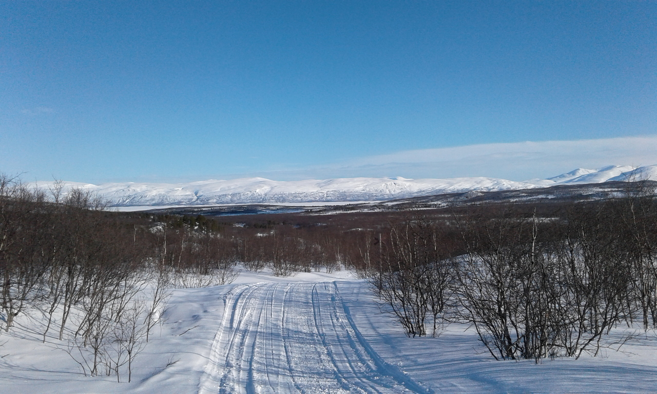
Approaching the narrow steep valley leading down towards Abiskojaure:
A nice view of Abiskojaure. I camped just before entering Abisko national park, where pitching a tent (or tarp) is technically not allowed.
Day 7: Abiskojaure to Abisko
The last half-day was a bit of an anti-climax, but I liked it that way. It was such a breeze to ski down a nice, broad trail right down into Abisko, gliding past groups of high-strung and eager travelers, who were all pulling their enormous sledges uphill, in the opposite direction:
So - up and down, and overall a very tough hike, largely due to my inexperience and inadequate skiing equipment. But it was educational, and the mountains in winter are too beautiful to abstain from. It takes some guts and a lot of knowledge, but it can be done.