Skiing Kungsleden in bad weather
When
Feb 23 - Mar 5, 9 days of skiing.
Where
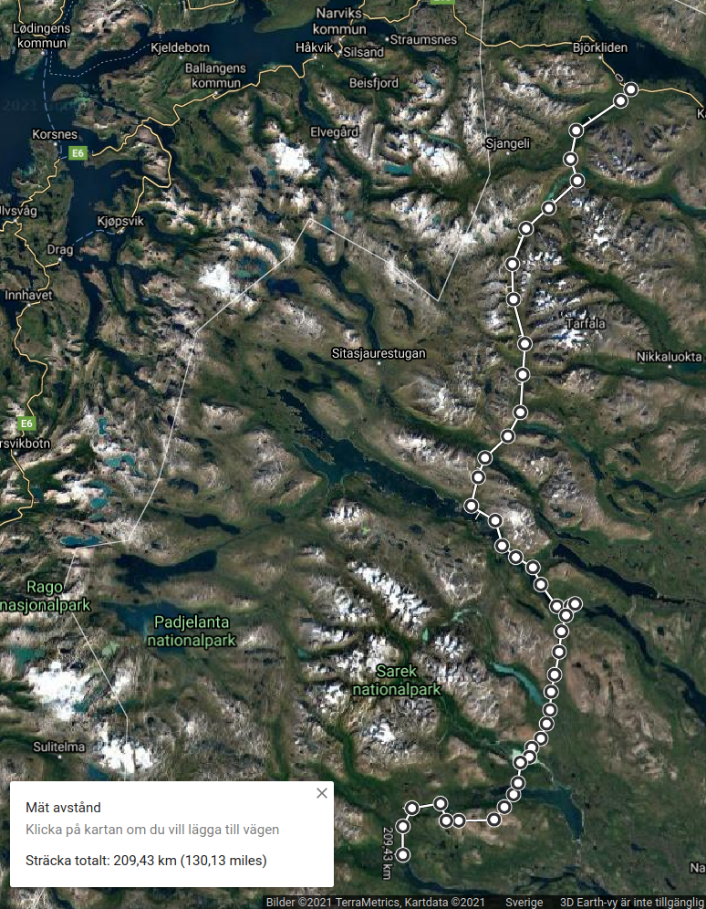
From Abisko to Kvikkjokk, mostly following Kungsleden except for a detour into Kabla national park just before Kvikkjokk. There is a 32-km gap in Kungsleden, where you are supposed to take a bus from Vakkotavare to Saltoluokta. I walked/skied about half and hitched a ride with a nice couple shooting photos for the other half. Subtracting these 15 km, my active route was ~204 km.
I should perhaps explain that my initial intention was to start in Kvikkjokk and explore Sarek national park, without trying to cover long distances but simply exploring the valleys, climbing, and doing a bit of ski-touring. But this year is a bit... different. There were no train tickets, I couldn't afford to wait, and so plan B became to start in Abisko - the only place I could get to at short notice - and quickly make my way south to Suorva, then enter Sarek and cross it to finish in Kvikkjokk. But the weather turned out to be consistently foul, I got delayed and broke both my poles before even reaching Suorva. The best-laid schemes of mice and men...
Weather
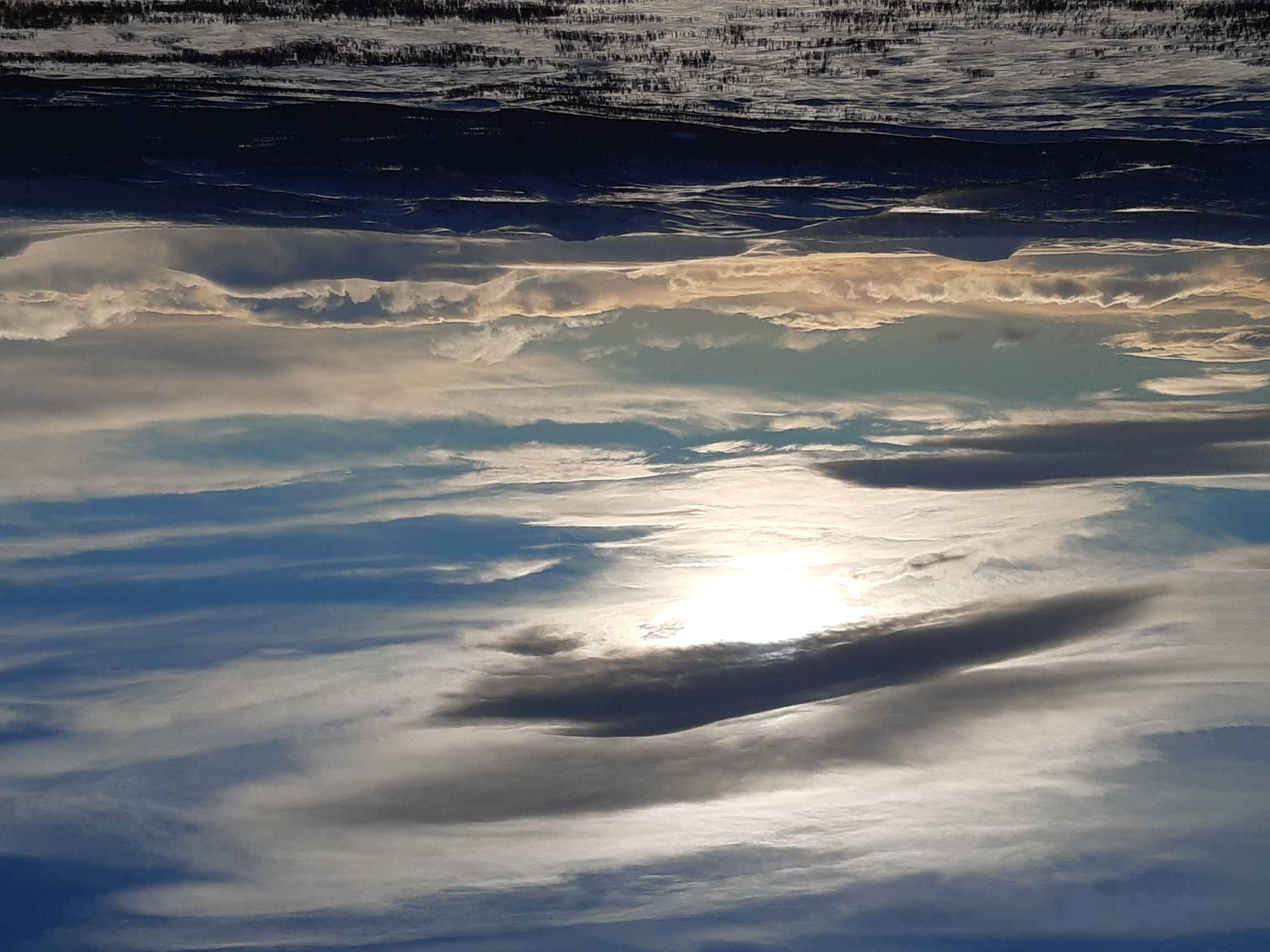
Snowing and blowing. I'm devoutly grateful that I didn't encounter such conditions on my first skiing hike here in 2017, I'd have been murdered with my narrow skis and open tarp. Elevation 300-1100 m, temperature about -10°...+3°C, heavy snowfalls with strong winds and whiteouts every day except for Mar 5. Wind normally ~10 m/s, but sometimes up to ~25-30 m/s at higher elevations (sometimes impossible to ski against the wind, and once even impossible to stand up during gusts). Snow condition: deep powder below treeline, sticky on warm days, strong crust above treeline, in some places ice and significant amounts of bare rock. Lake Radujavre a day south of Abisko was swept free from all snow, down to bare ice, so I had to skirt it. Trail: old snowmobile tracks within 20-30 km of Abisko and Kvikkjokk, little or no visible trail in between (although even invisible snowmobile tracks can be helpful because the crust is stronger over them). A big boon was the availability of unfrozen water, which I found nearly every day in small creeks, under a layer of fresh snow on lakes, etc.
Kungsleden is well marked except for the section between Teusajaure and Vakkotavare. Even so, finding a route through unbroken deep snow was sometimes a challenge. I also broke both my poles, both by leaning too heavily on them when struggling to keep my balance in strong gusts of wind. What with breaking trail, being buffeted by the wind, and losing my way in whiteouts, without poles I averaged only ~20 km per day despite energetically trekking 7-8 hours per day (not including rest time), so my speed was a poky 2-3 km/h. I think this is the slowest I've ever hiked, and probably the greatest number of calories burned per km traveled ;))
Equipment
7.5 kg base weight + 7.5 kg of food and fuel. Skis: Fischer S-bound 112 mm with Easy Skins for climbing. Bindings: Voile Traverse (3-pin), without cables. Boots: Scott Excursion plastic telemark boots. This setup works best off-trail, especially on steeper terrain. I love the skis, but the plastic boots were again killing my feet, even after all the adjustments last year. They are also hell to walk in - future generations of daredevils take heed and beware.
Shelter: as usual, I slept in a floorless pyramid tarp most nights, which IMHO works well in winter, provided that a reasonable sheltered spot can be found. When above treeline, I pitched it low and piled snow around the perimeter, which blocked the ventilation but prevented the tarp from being exposed to too much wind. Below treeline, I pitched it high and ventilated as much as possible to dry the sleeping bag. Kungsleden being unusually empty this year (corona scare?), I helped myself to a wind shelter once, kipped in a derelict Saami hut on another night, and dug a snow cave on a particularly exposed high ridge, just to keep my hand in. Despite the interminable winds, camping worked very well, and I was always well-rested in the morning.
Tip of the day: I screwed the gas canister to the stove on Day 1 and left it connected for the entire trip. Based on my calculations, this cut my gas consumption nearly by half, presumably because a significant amount of gas escapes every time the canister is attached to the stove or detached from it again. OK, I melted less water than last year, but still: last year I used ~45-50 g/day, and this year a mere 20-25 g/day! Wow.
For more details on the equipment and food used on this trip, see spreadsheet.html. Special thanks to my biological equipment: despite challenging conditions, I didn't have any knee problems, and in fact not even so much as sore muscles this time. A couple of years of regular calisthenics are clearly paying off.
Logistics
There: train to Abisko (just before Riksgränsen, close to the Norwegian border).
Back: bus from Kvikkjokk to Porjus via Jokkmokk, then trains.
Maps
Paper maps: Calazo Kebnekaisefjällen, Calazo Sarek & Padjelanta, both 1 km. Amazingly light (45 g per map), water-resistant, detailed, and generally super useful. Offline maps on the phone via Oruxmaps. Online topographic maps here.
Day 1: Abisko - Garddenvaggi
This is the day-tripper stretch from the trailhead in Abisko, through the national park, and to the first steep rise to the broad open valley around lake Ahpparjavri. I got off the train a bit past midday and made quick and easy progress, because in the immediate vicinity of Abisko there is always a well-used trail. Besides, the weather was fantastic: moderately cold at about -10°C and mostly sunny. There was surprisingly little snow - something that would change completely with the heavy falls of the next few days!
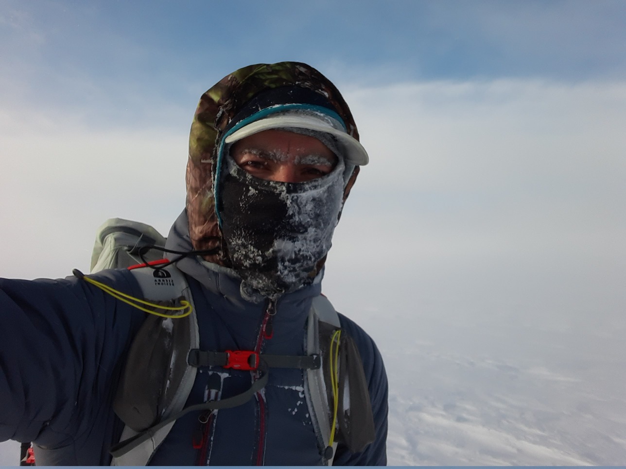
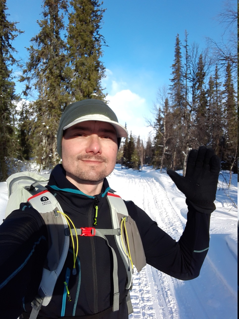
A traditional selfie at the trailhead:

Perfect weather conditions, a good trail - if only life in the mountains was always as easy as this...
I camped soon after dark (5.30 pm) close to the top of the steep gorge that leads from the playground around Abisko to the "real thing". This is a good spot for camping because this is the last sheltered spot with tree cover until Kaitumjaure 70 km further south.
Day 2: Garddenvaggi - Alisvaggi
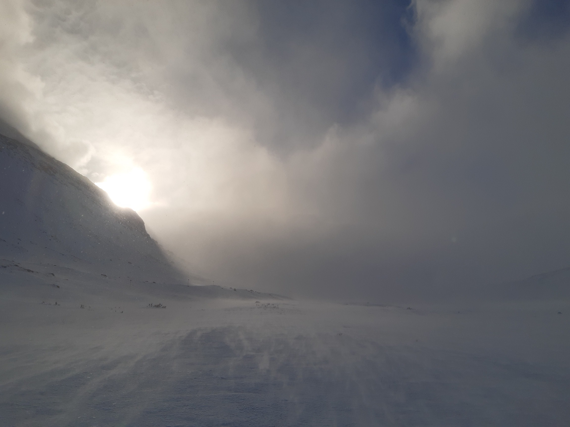
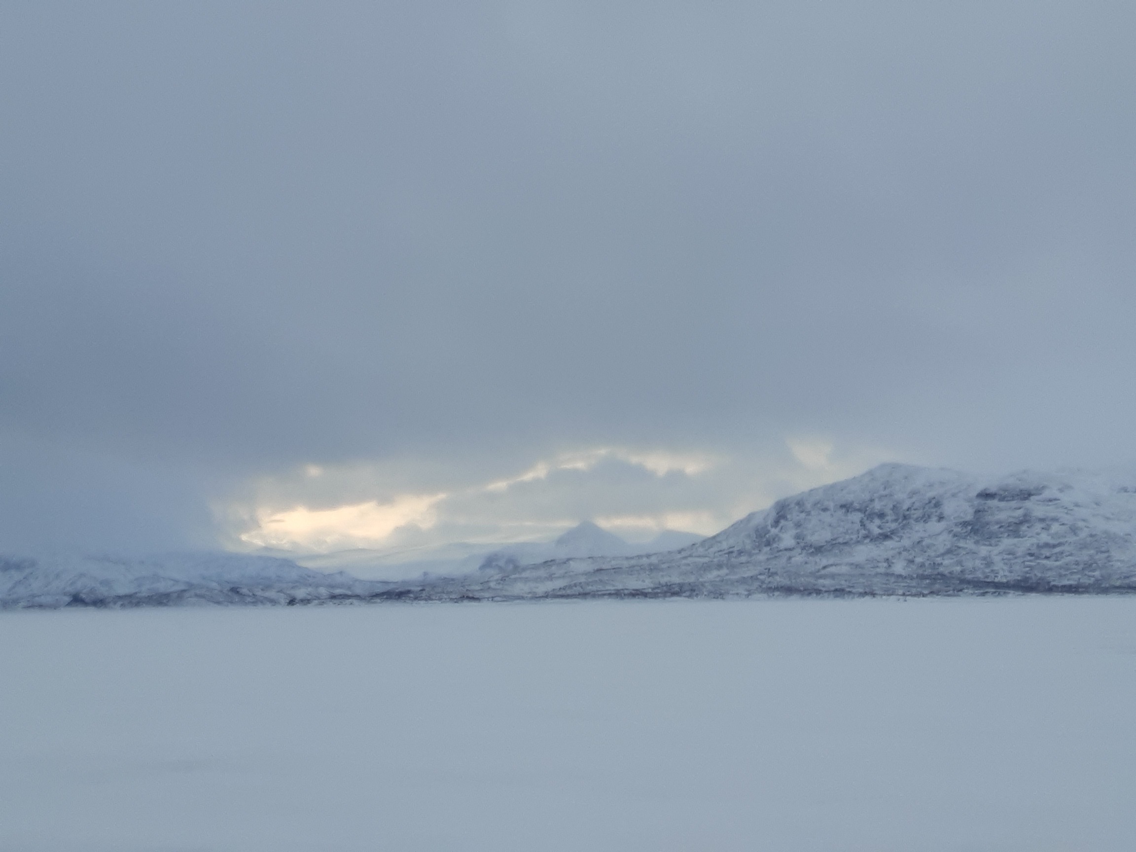
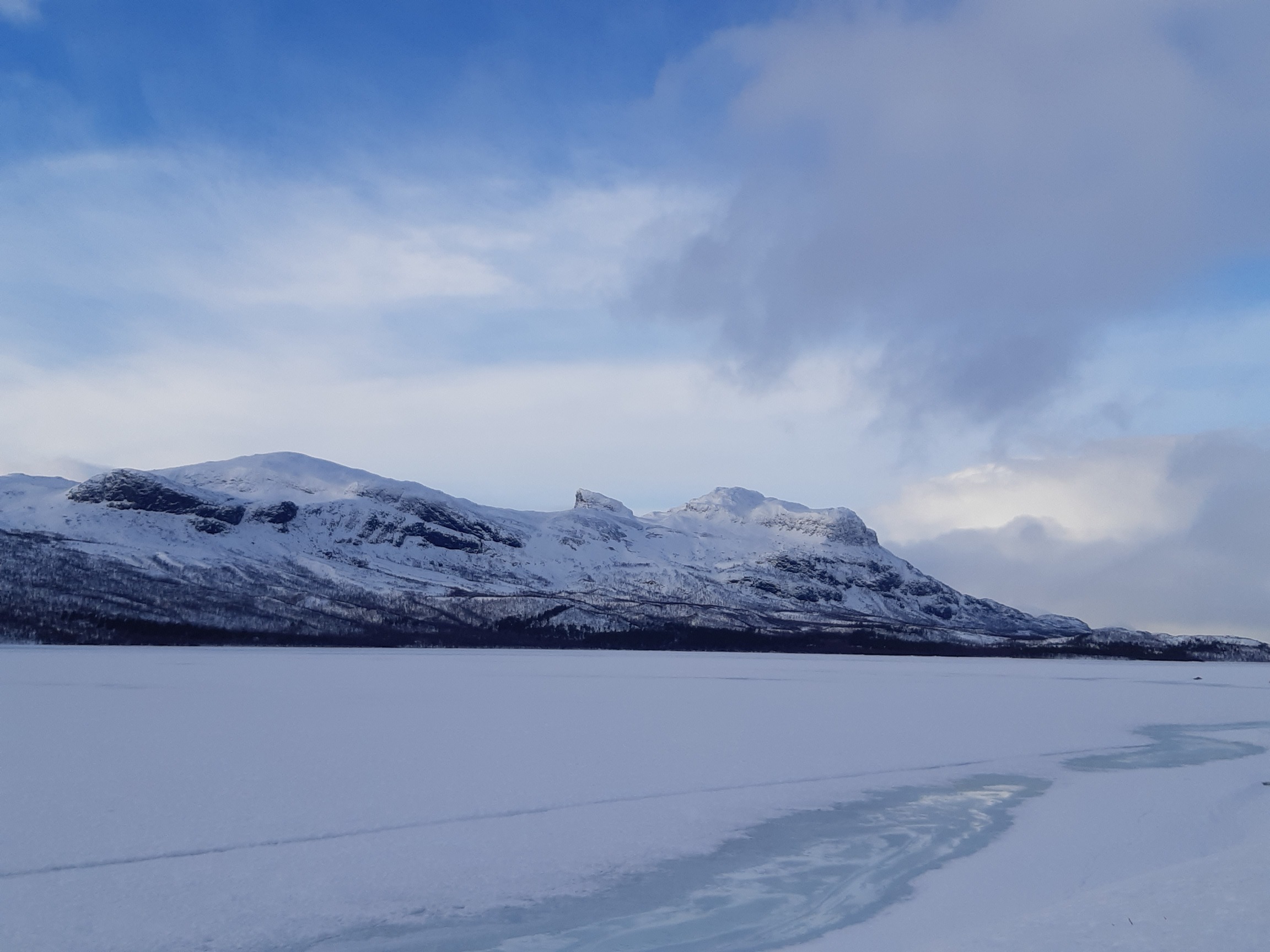
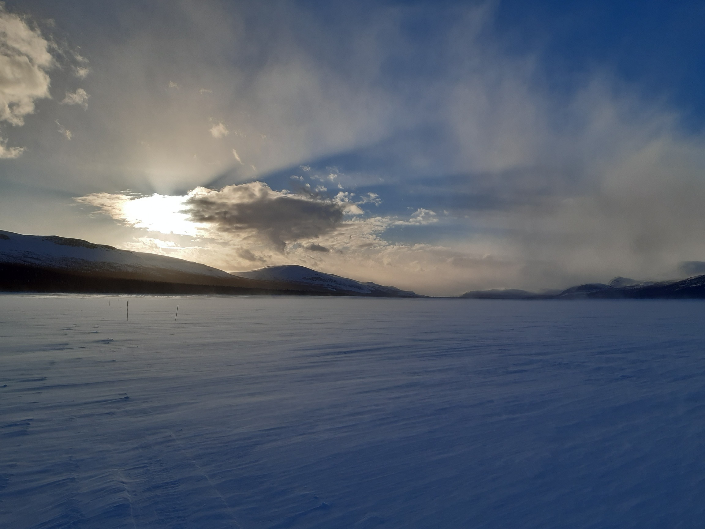
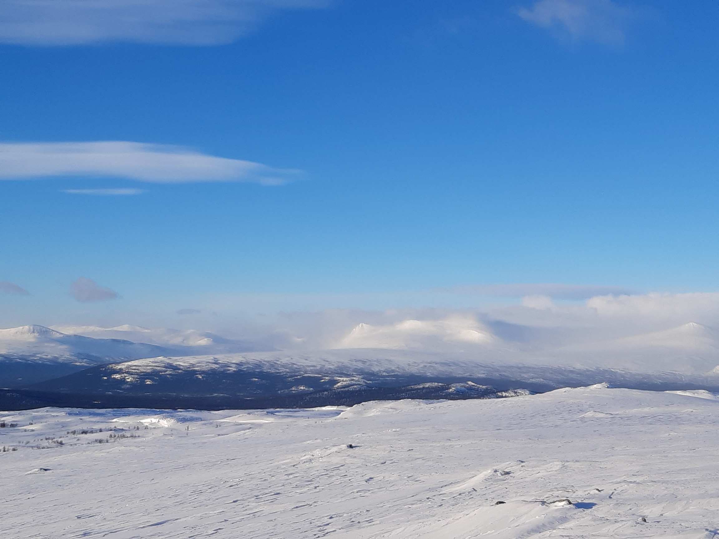
And now for the real thing: the open plateau is much colder, even though the altitude is only 700-800 m, and the winds in this area are often ferocious:

It started blowing almost as soon as I skied out of the gorge. In fact, the surface of the lakes was in places swept clean, making skates a better choice than skis! I had to go around these patches because progress on ice in the teeth of the wind proved impossible:
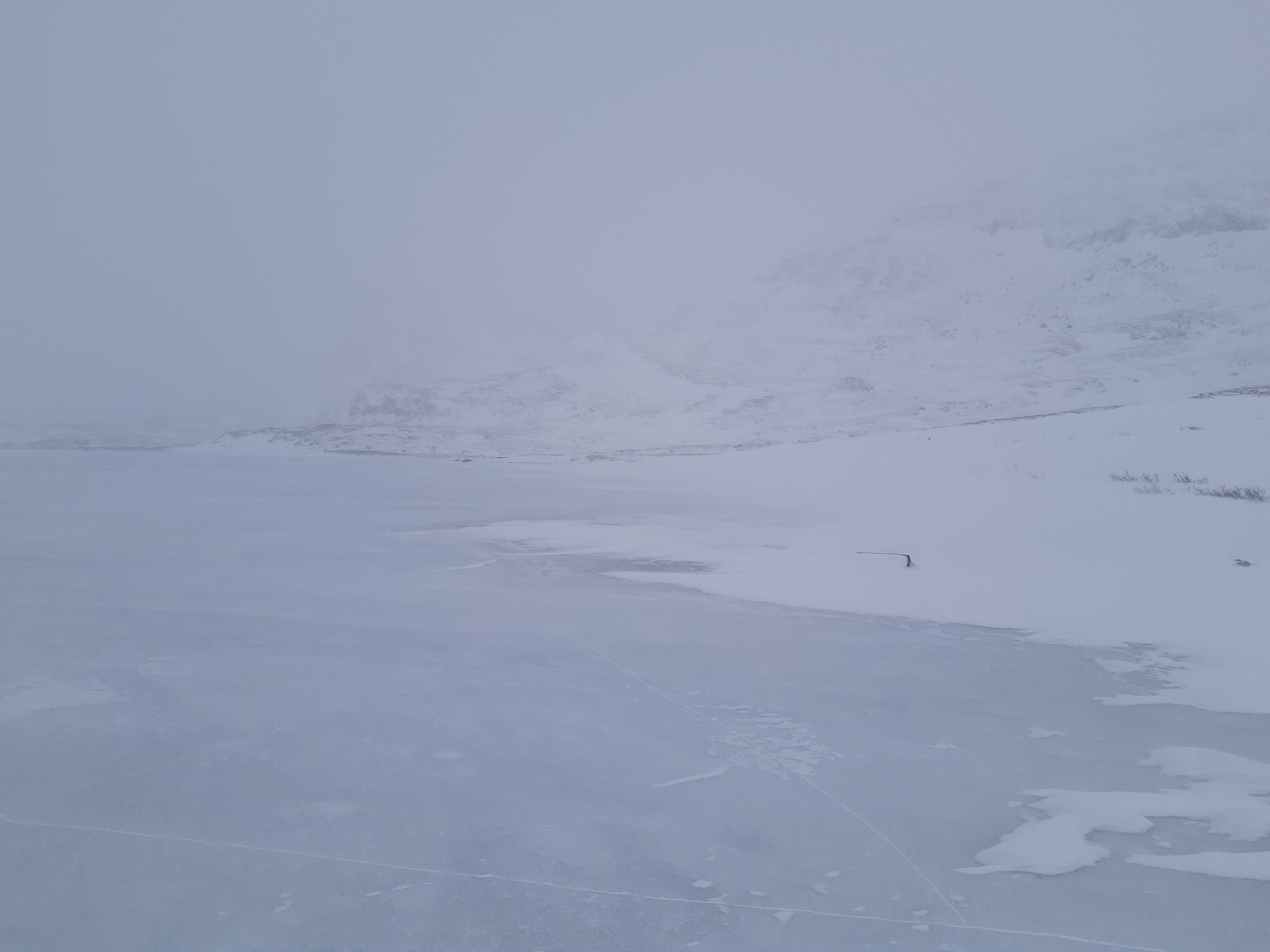
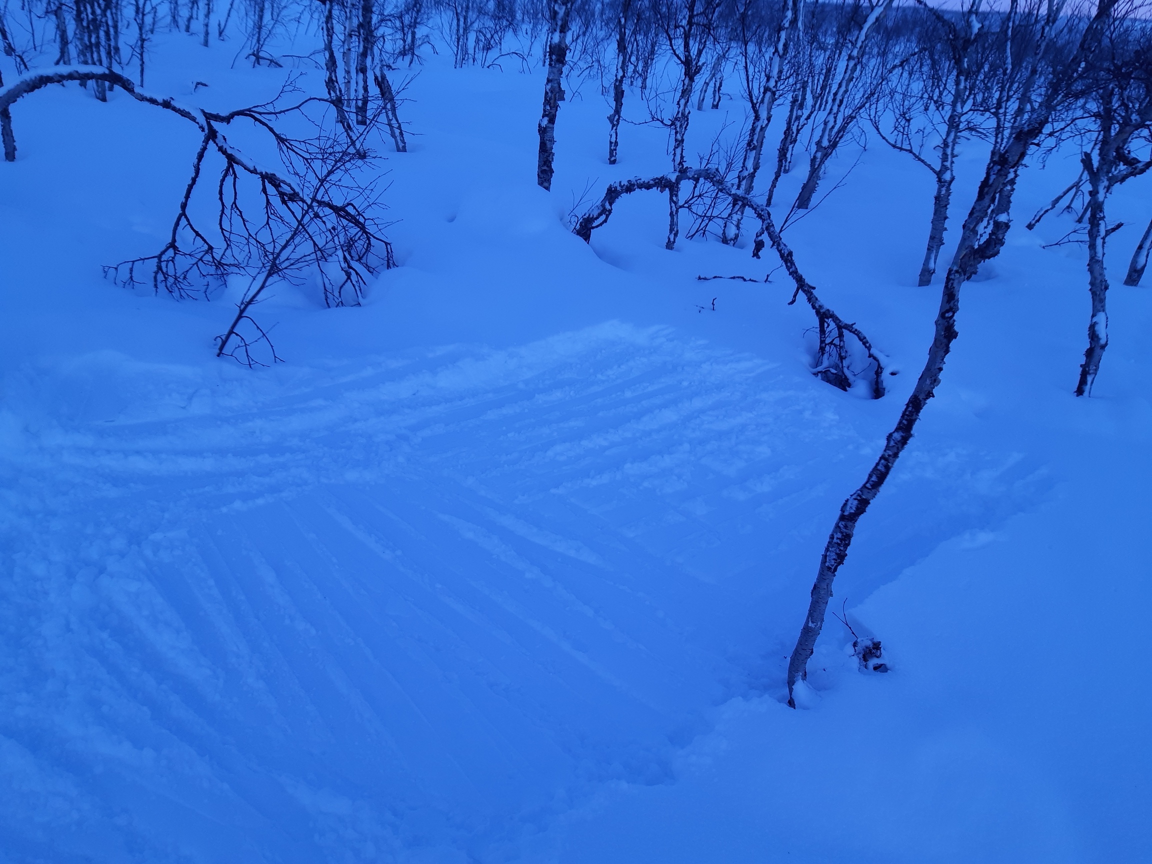
I was initially hoping to reach Tjäktcha pass this day, but progress was very slow because of the gale, roundabouts around icy patches, and the trail progressively disappearing in the snowfall. In the end I had to camp in the relatively open valley of Alisvaggi, hiding from the wind as best I could behind a little ridge and digging the tarp deep into a snowdrift:

Day 3: Alisvaggi - Kuoperjåkka
The snow which I piled liberally around the perimeter of my pyramid tarp did its job well: the tarp withstood the wind, without any snow drifting under the walls or other inconveniences of being so very far from home that are an occupational hazard for winter adventures. The tradeoff of sealing off the tarp with snow is that the condensation from breathing is mostly trapped inside (a ventilation hole in the roof notwithstanding). The situation is worst when it is close to zero, so the falling condensation melts on top of the sleeping bag.
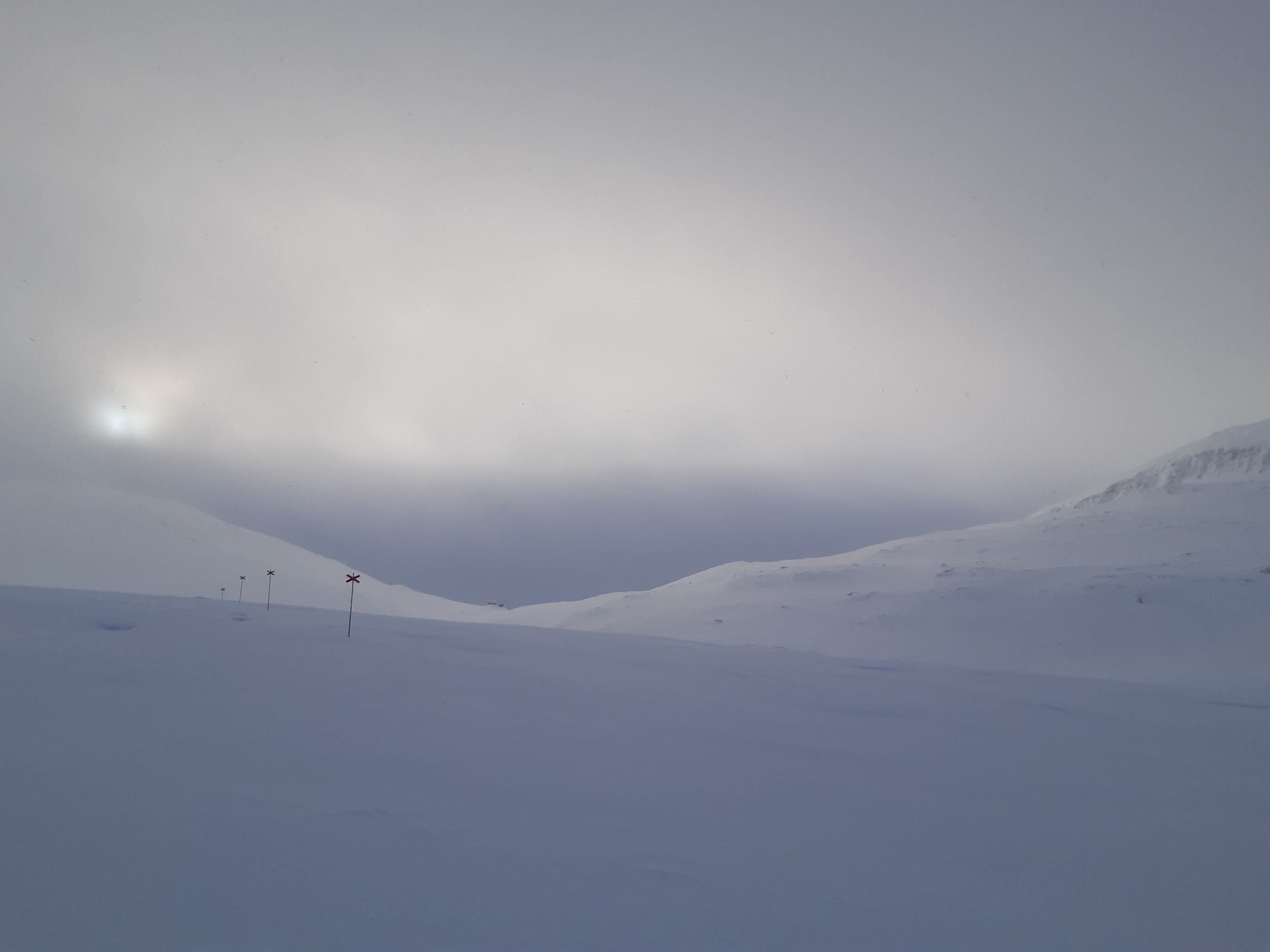
The weather conditions were every bit as uninviting as the day before, with continuing strong winds right in my face. The fresh snow was swept off the slopes, so skiing became an intermittent affair, with deep powder in dells being followed by ice and even bare rock on exposed hilltops. Typical views:

The approach to Tjäktcha pass is very gradual and simple coming from the north. Under the shelter of the pass, there was also less wind, which meant deep unbroken snow to trudge through:
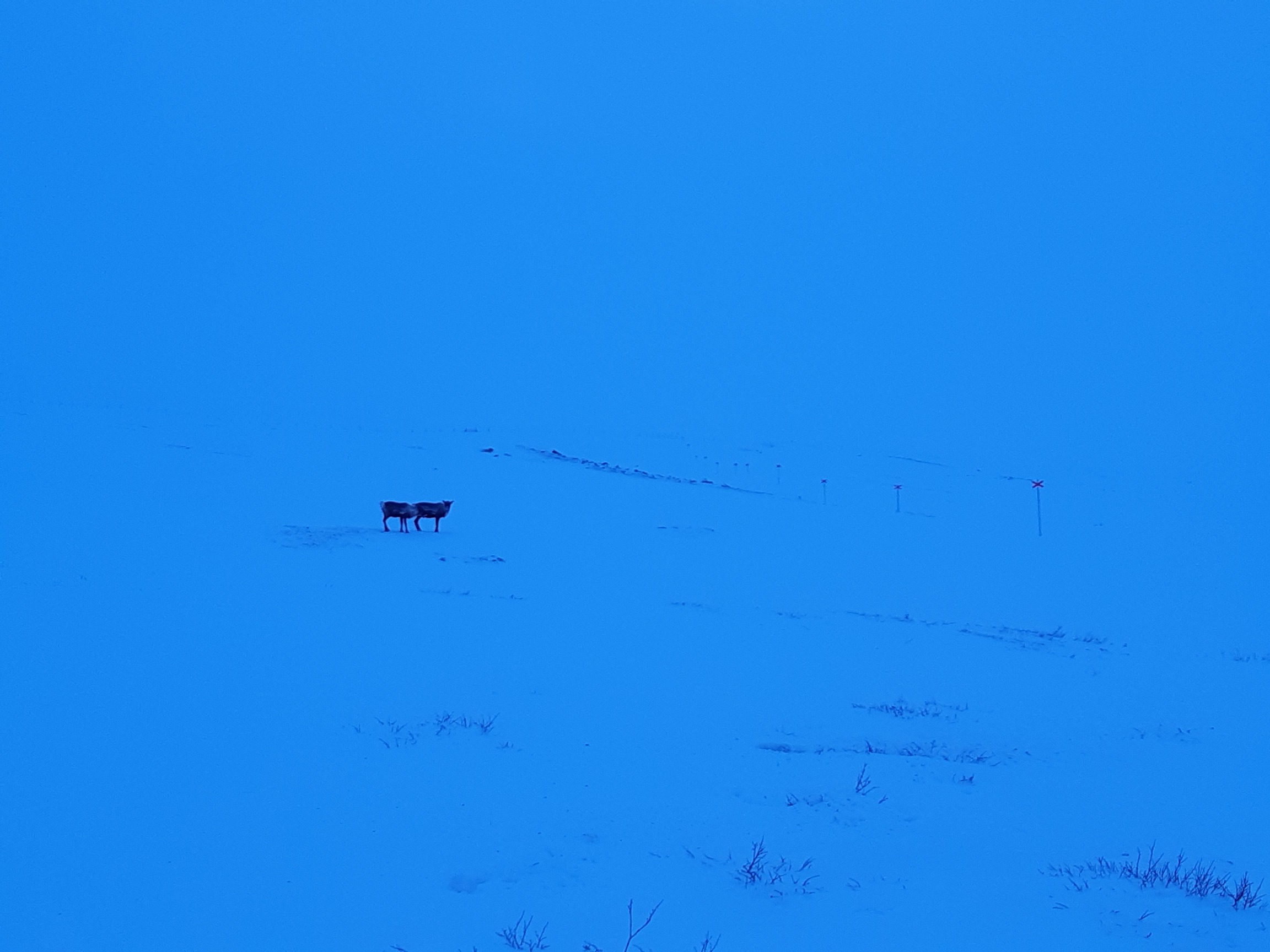
I had lunch at the wind shelter at the top, then made my way as best I could through the thickening snowfall, feeling a bit sorry for myself because I didn't even dare to have fun on the steep descent, so poor was the visibility. The trail disappeared entirely, and the only thing I saw through the snowfall and clouds that day was a herd of reindeer. This was the first of many encounters: the beasts have clearly noticed the absence of tourists this year and crowded Kungsleden, which they otherwise seem to avoid.
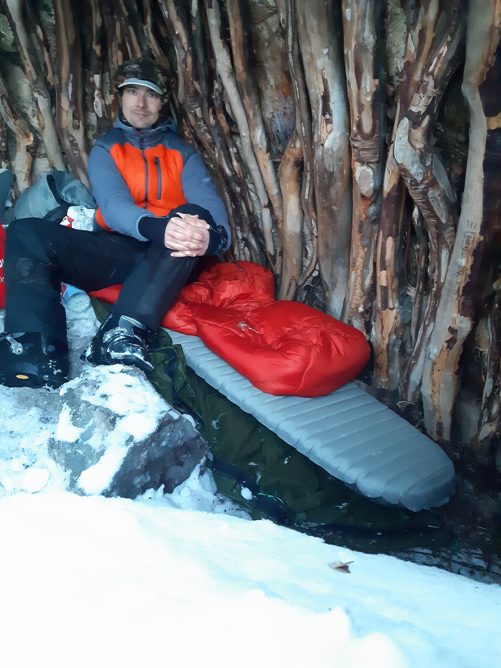
As the snow fell thicker and thicker, the temperature rose close to zero, and the snow began to stick to the skis. A bit of glide wax solved the problem, but I had to re-apply it every 30-60 minutes to prevent icing. There is something inexpressibly annoying about skiing hour after hour through what you know must be amazingly beautiful terrain, but never seeing further than 100 m through the fog. Alas, that happens all too often in Scandinavia in general, and this year I got my full share of that experience. In fact, I've now passed twice along Kungsleden past the famous Kebnekaise without so much as catching a glimpse of the mountain, or even of any other tops around it! The entire stretch between Tjäktcha and Kaitumjåkka remains a white blur to me. Anyway, I trekked until after dark and reached the wind shelter of Kuoperjåkka, where I enjoyed the luxury of sleeping under a roof and drying my wet gear, which is easy to do even without lighting a fire.
Day 4: Kuoperjåkka - Kaitumjåkka
This was the windiest day of the entire trip, and in fact of my entire hiking career so far. At first I welcomed the wind because it created a nice strong crust, which enabled me to actually ski instead of the awkward snowshoeing-like motions of breaking trail through deep powder. Besides, the wind had turned to the north, so it was blowing from my back and speeding me up, down the long valley that gradually descends in a nearly unbroken downhill stretch over 35 km from Tjäkcha to Kaitumjåkka.
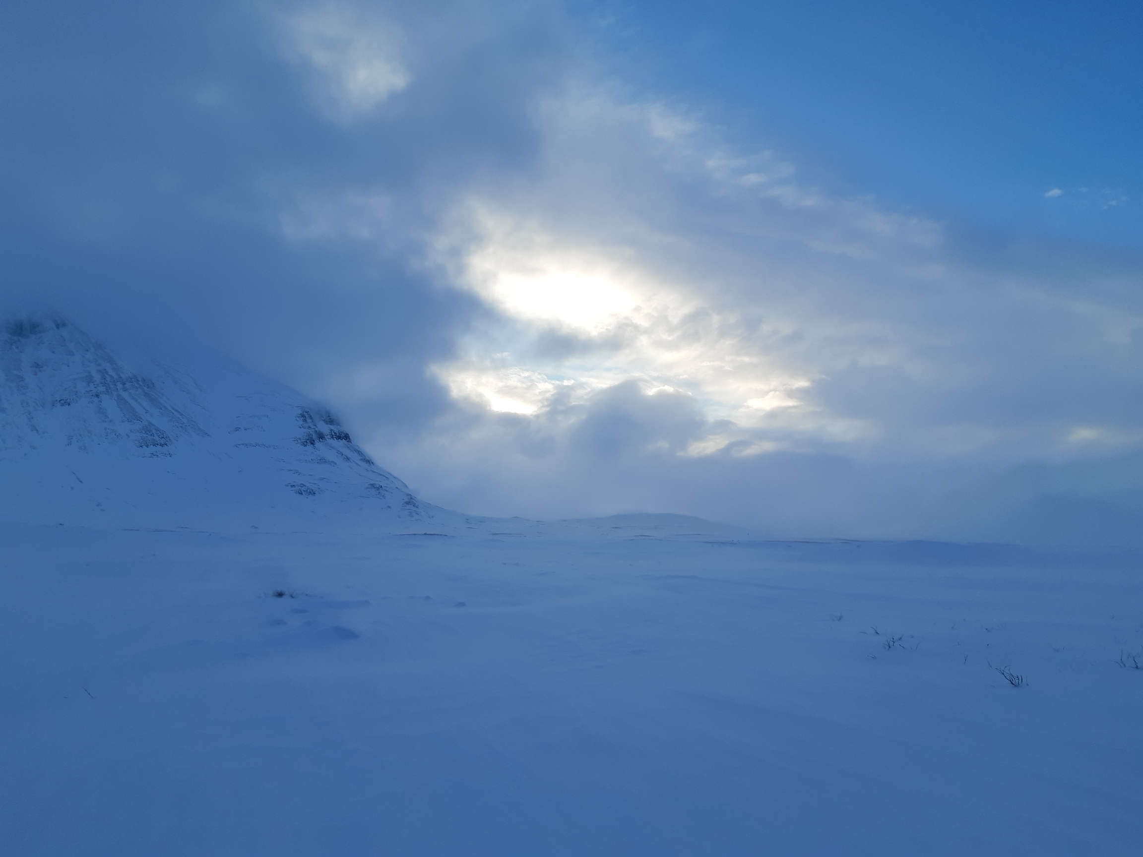
Indeed, the progress was fast: for hundreds of meters at a time I could just spread my arms and allow myself to be swept along, and my only worry was to steer around boulders. The visibility also improved somewhat:

Before too long, however, my problem was not so much to make progress as to arrest my all-too-rapid progress. Steering became more like braking, then I started to take tumbles in sudden gusts, and then the wind became so strong that my main worry became to keep to my feet at all. Unfortunately, by then I had passed the Singi shelter, going back upwind was unthinkable, and the only way to get out of the wind that I could think of was to proceed, hoping to descend to lower altitudes. It became rather scary, especially at a narrow saddle between two peaks, where I broke my first pole and was repeatedly reduced to lying flat on the ground during the gusts, which ripped the icy crust and threw chunks of this ice into the air all around me, together with tons of drifting snow.
A good example of what it looks like when fresh snow is blown off a mountain top:
The valley around lake Kaitumjaure provided some welcome shelter, although the moment I climbed above the last trees on the south side, the wind was at me again:
Then I found the coolest shelter ever - one of Saami herder's summer wigwams, half buried in snow but still a definite improvement over a tarp in terms of drying the gear, not to mention the romantic atmosphere:


Day 5: Kaitumjåkka - Vakkotavare
The way from Kaitum to the road at Vakkotavare leads over two passes with a lake in between. In both cases, the northern slope of the pass is flat and easy, while in the south they drop to the lakes in the steepes sections on the entire Kungsleden. Here is the descent to lake Teusajaure, as seen from the surface of the lake:
And the beguilingly gentle beginning of the descent towards Vakkotavare, as seen from the top:

In general, I think skiing Kungsleden south-to-north is much nicer than north-to-south, partly because of these two passes. The steep south slopes are too precipitous and heavily forested for skiing, and it's really easier to do these sections on foot. In contrast, in the north there are nice long slopes that would be fun to ski, but which are boring to climb on skis. This year there was the additional challenge of very deep, unbroken snow that forced me to waste hours while I was sinking knee-deep into the powder - together with my 112-mm-wide skis!
It snowed so heavily in the evening, and the visibility was so abysmal, that I didn't dare to descend to Vakkotavare, but simply pitched my tarp on the plateau above.
Day 6: Vakkotavare - Saltoluokta
The visibility was not much better next morning, so I had no choice but to proceed - tumbling over unseen boulders and crashing into zastrugi as I groped my way along. Fortunately, the fog lifted futher down, towards the steepest sections. Instead, the problem became deep powder again: I followed the footsteps of some unfortunates and post-holed down the slope on foot, carrying my skis and sinking up to my knees or even waist at every step. Bloody exhausting, even downhill! On the bright side, I saw a wolverine galloping up the slopes in the morning, and that's not something you see every day.
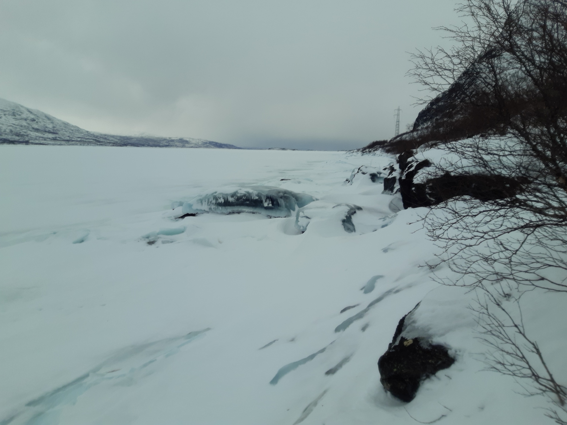
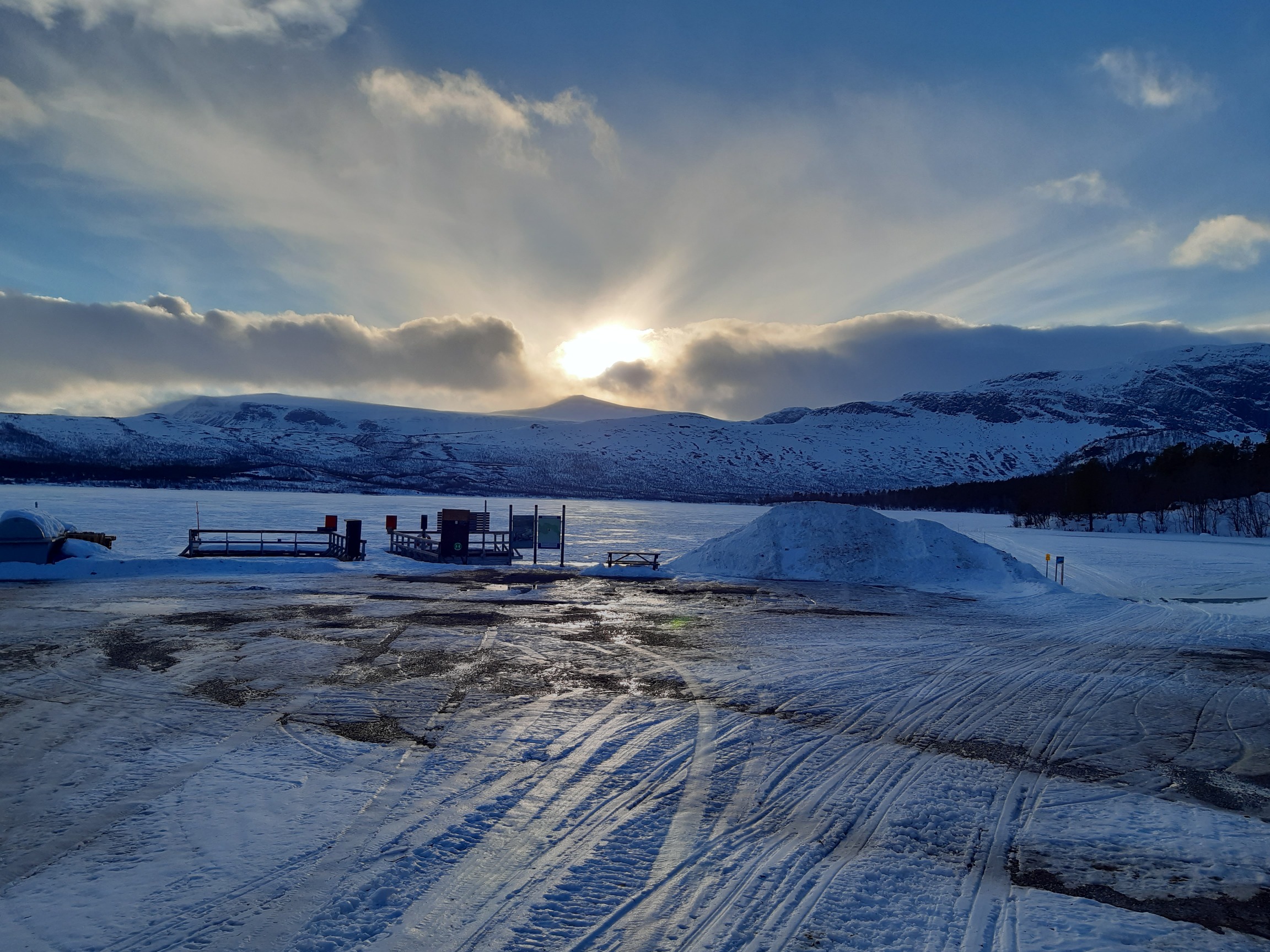
Once down, the prospects looked gloomy. My feet were extremely painful by then, which was made worse by walking through deep snow and making my boots and socks completely soaked. The section from Vakkotavare to Saltoluokta is meant to be done by bus, but I doubt that any were running this year. The road was covered by a fine, polished layer of pure ice - I tried walking on it and immediately broke my remaining pole trying to balance in a violent gust of wind. As I was deliberating my predicament, it started raining. Hmmm... My initial plan was to cross the lake at the dam in Suorva and proceed into Sarek - there it is, just on the other side of lake Teusajaure:
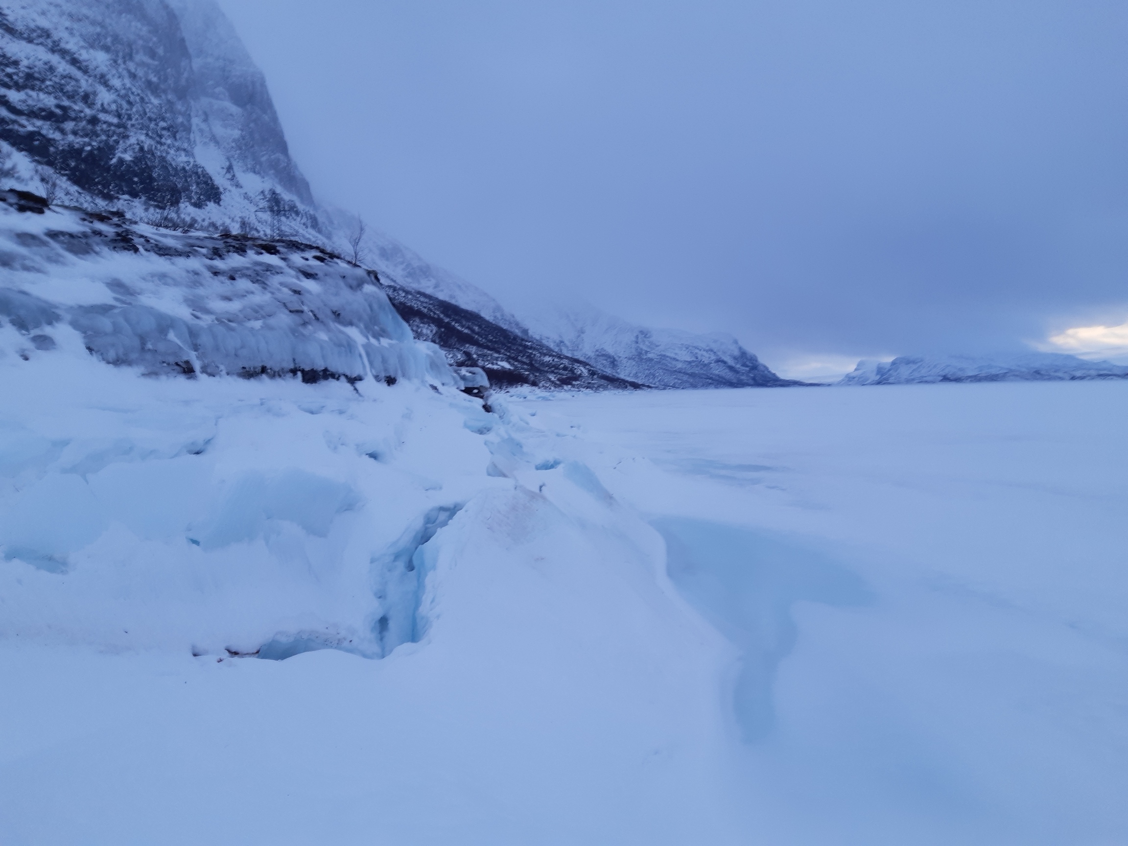
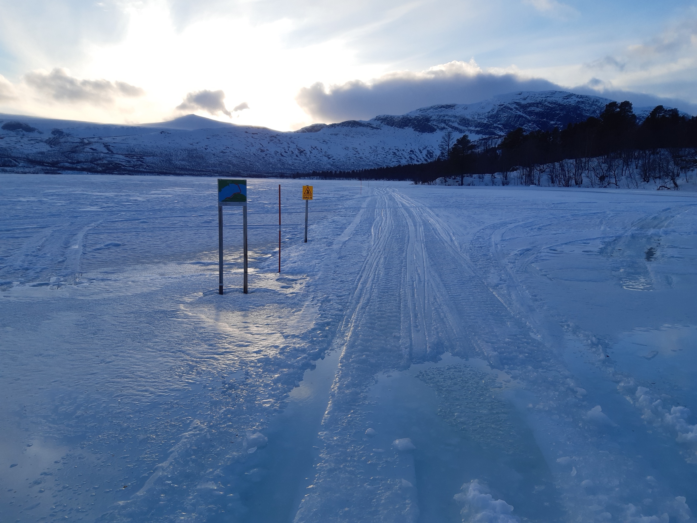
However, by then I was (1) two days later than expected, leaving me with too little time to cross Sarek, (2) without poles, and (3) generally knackered and disheartened. I therefore decided to do my best to reach Saltoluoka and then continue along Kungsleden. Even that seemed of questionable feasibility. It's 32 km on the road, which I found to be icy to the point of being un-walkable. Snow on the shoulder of the road was knee-deep and extremely soft, making skiing equally impossible. I considered skiing on ice, but a closer inspection revealed it to be tricky and potentially weak, although photogenic enough:
So I started hobbling down the icy road as best I could on my bruised feet, but I only did a few painful kilometers when a kind Swedish couple offered me a ride and took me, stinky boots and all, past the dam in Suorva and all the way to Vietas, just 10 km or so away from my goal - Saltoluoka. Thank you so much for the lift, guys! That saved me hours and a lot of frustration. And that was not the last of my luck for the day: there was just enough wet slush left on the road for the remaining stretch, and occasionally even snowmobile trails on the side, so I could ski instead of walking. It stopped raining, and in fact I got some of the best visibility and nice views while skiing on this road.


Oops, this weak ice is... water!
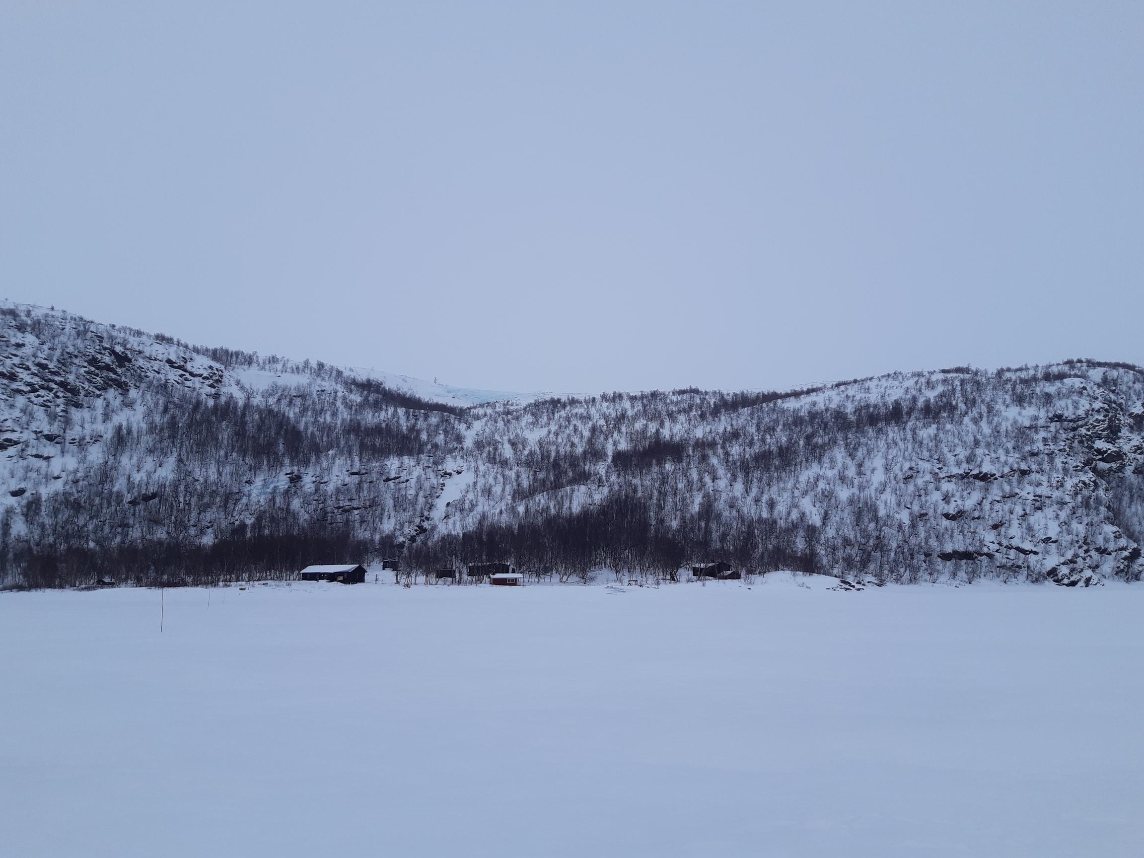
And then it was just a matter of crossing the ice along the marked trail to Saltoluoka and finding a reasonably sheltered camping spot in the forest. The wind picked up again in the afternoon, but the pines provided ample shelter. In fact, almost too ample: the snow was unbelievably soft, and I had to trample a platform for the tarp first on skis, and then on foot, sinking a good half-meter below the surface. Making camp takes up to an hour in such conditions, which puts digging snow shelters in the right perspective - not that much longer for completely failsafe comfort.
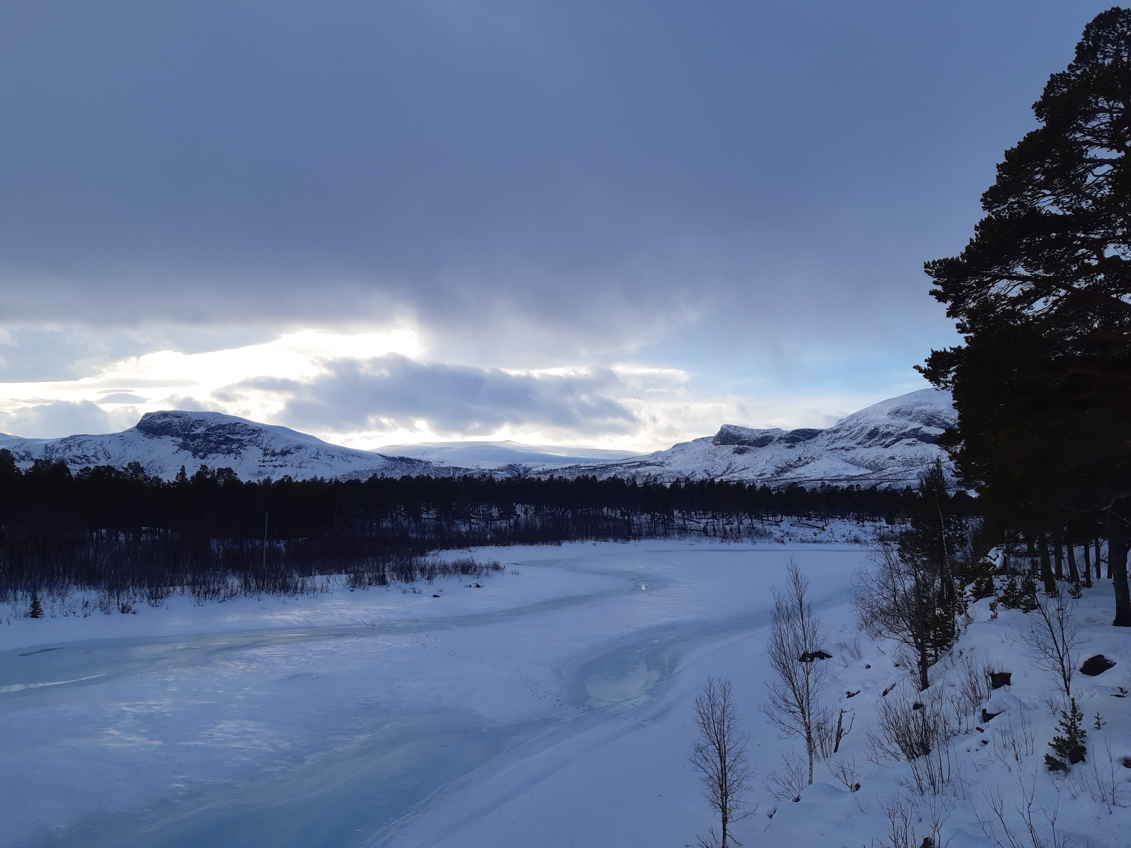
Day 7: Saltoluokta - Gåbddåjavvre
The stretch south of Saltoluoka is not particularly hard or particularly interesting. Sometimes the views are nice (although it snowed most of the day, so again I can't say I saw much):


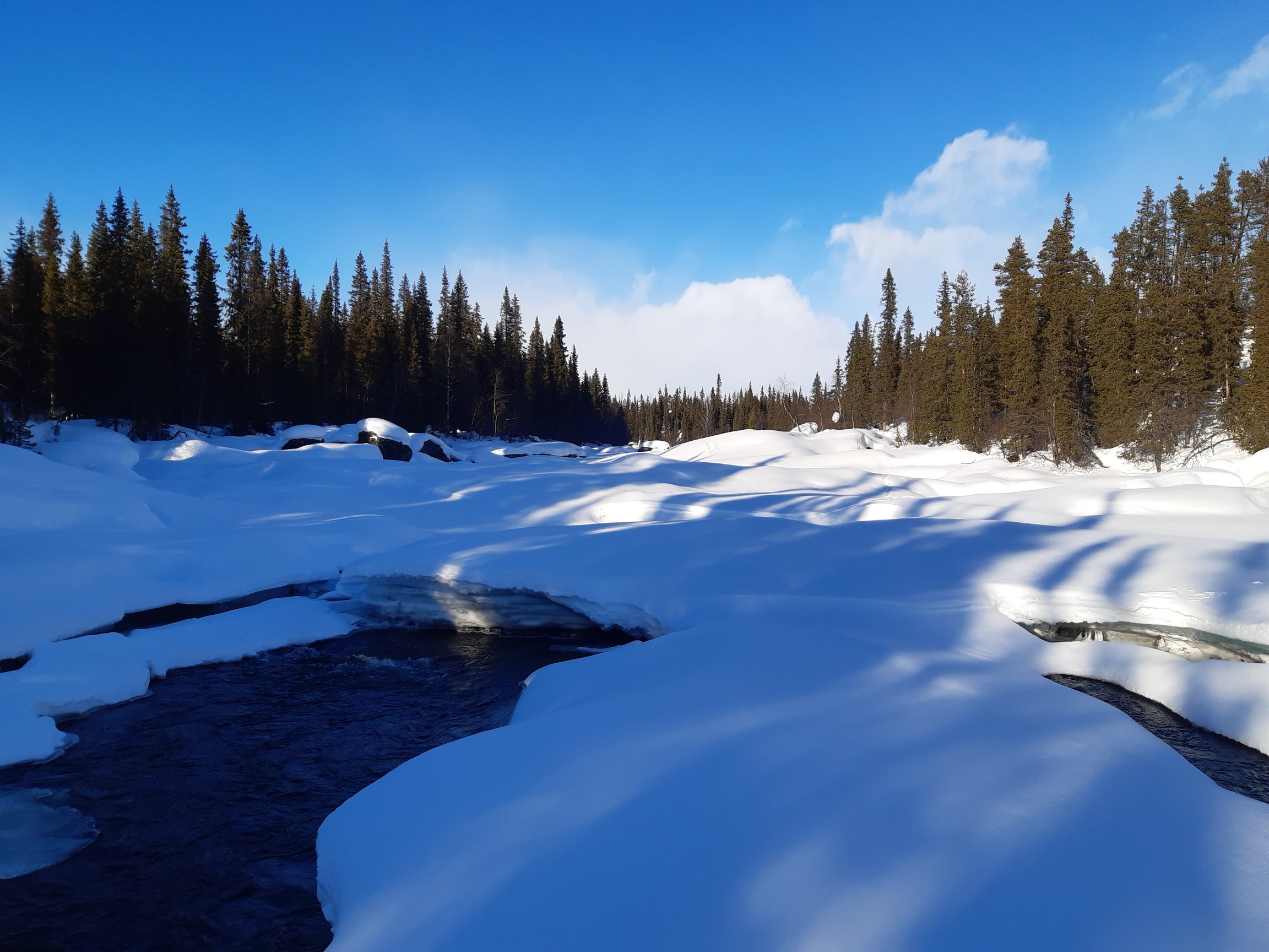
A lucky find: after many thirsty hours, the first patch of running water! It is often tricky to reach the water without falling into it - a pot or scoop with a bit of rope attached would come in very handy.
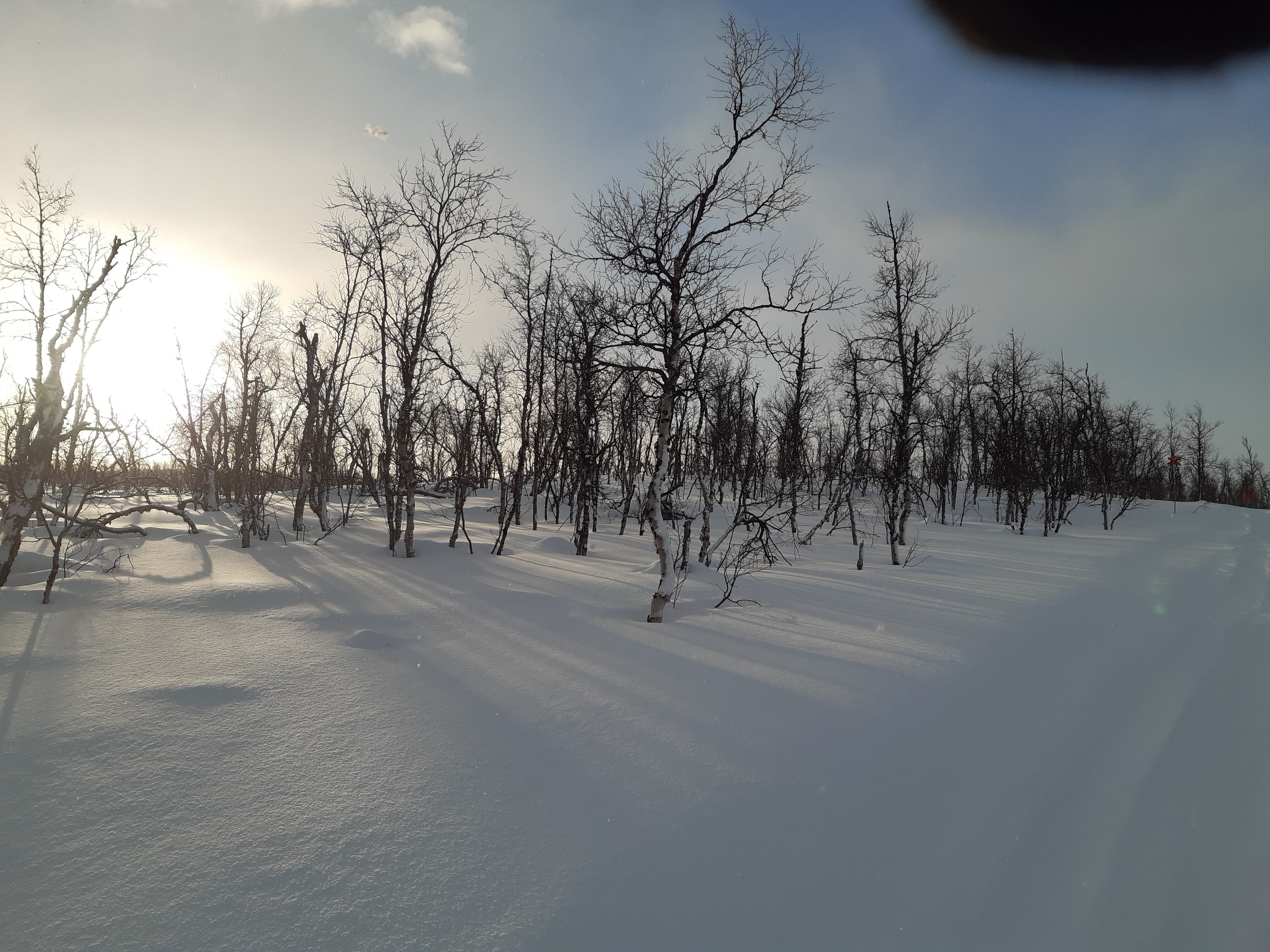
The open lakes north of Aktse were again indecently windy. However, the presence of trees makes a huge difference - even of stunted mountain birch trees. They break the relentless wind and provide shelter in exchange for 30 min or so of trampling that is required to carve a bit of livable space in the incredibly thick layer of powder that tends to accumulate in such sheltered spots:

Day 8: Gåbddåjavvre - Kabla NP
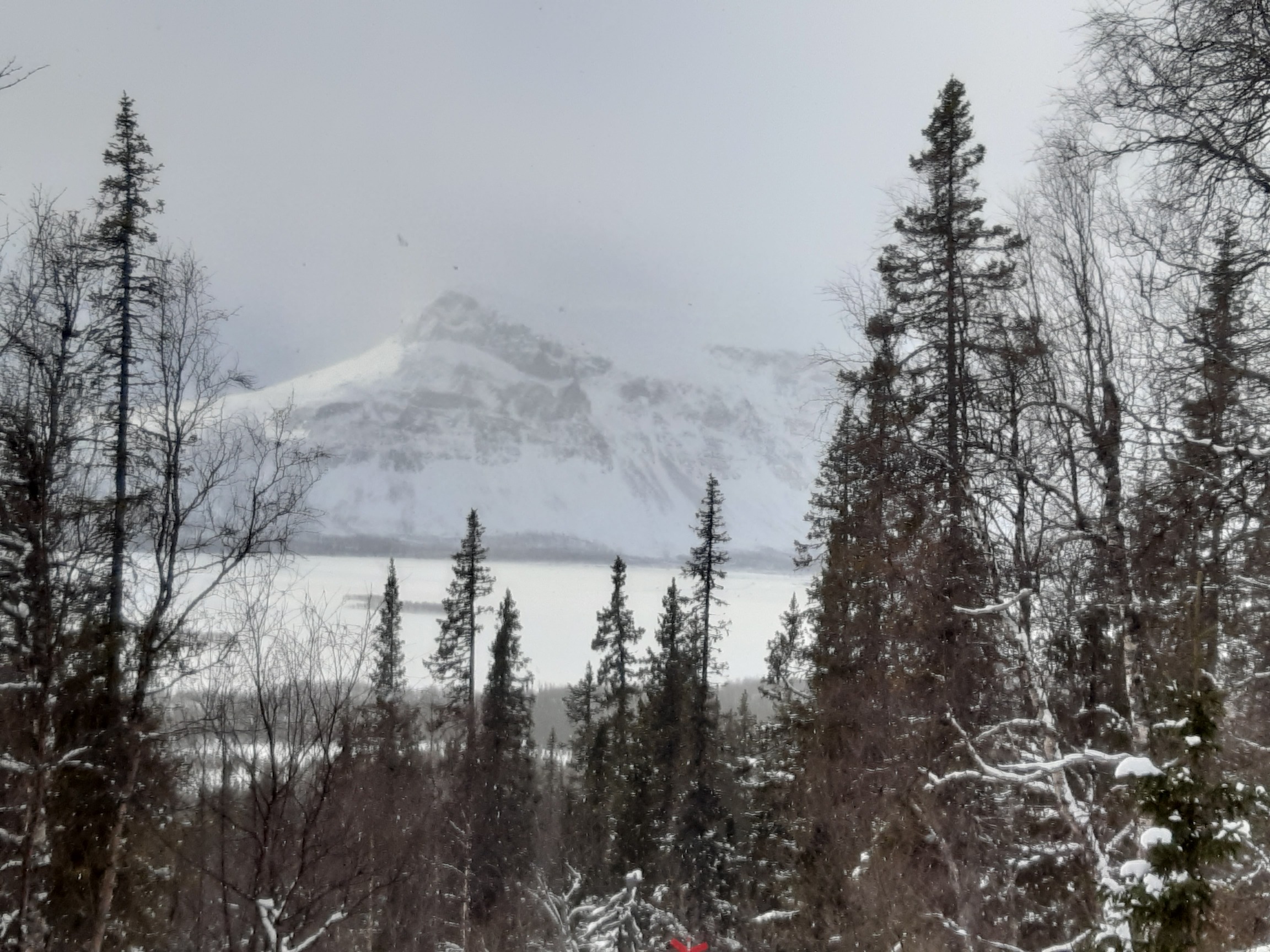
The next day was really more of the same: snowfalls, wind, then a bit of sun, then more snow and wind, and so on as I climbed the last alpine-looking pass on the way to Aktse and continued south along the still-deserted Kungsleden.
About to descend to Aktse and the famous Rapadalen leading into Sarek:

A quick snack in the forest before continuing:

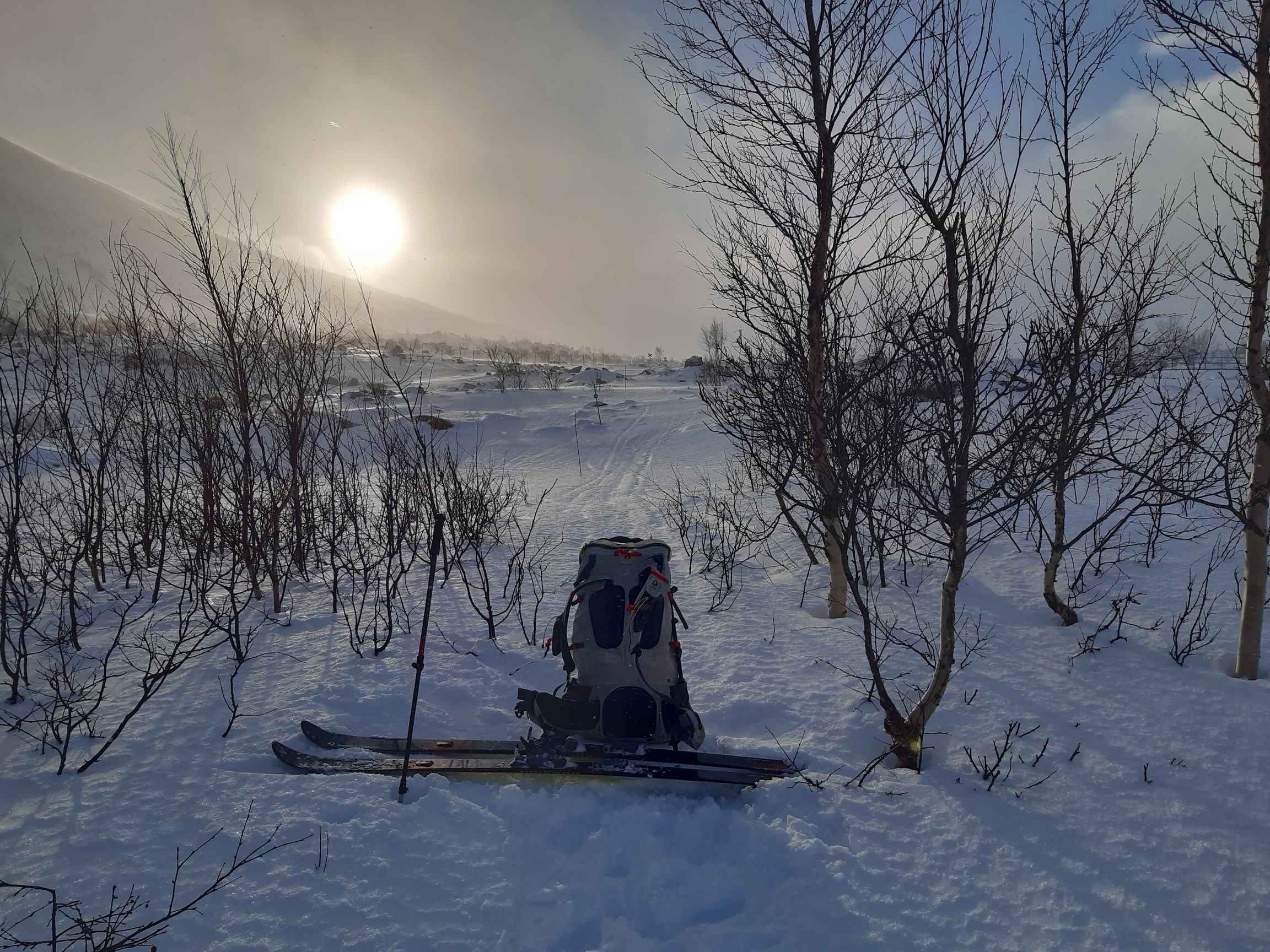
Finally, a fresh snowmobile trail! A chance to speed up...
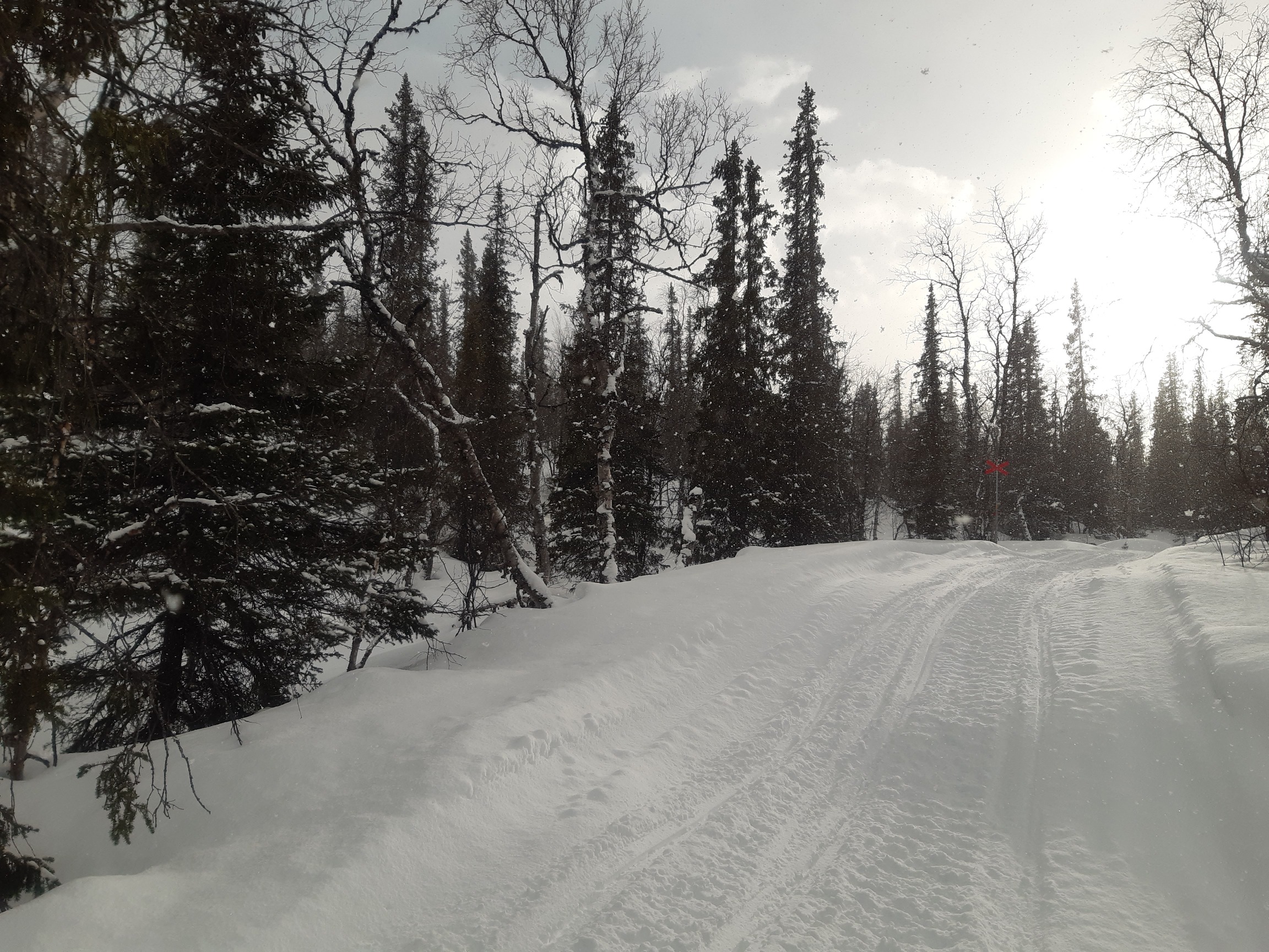
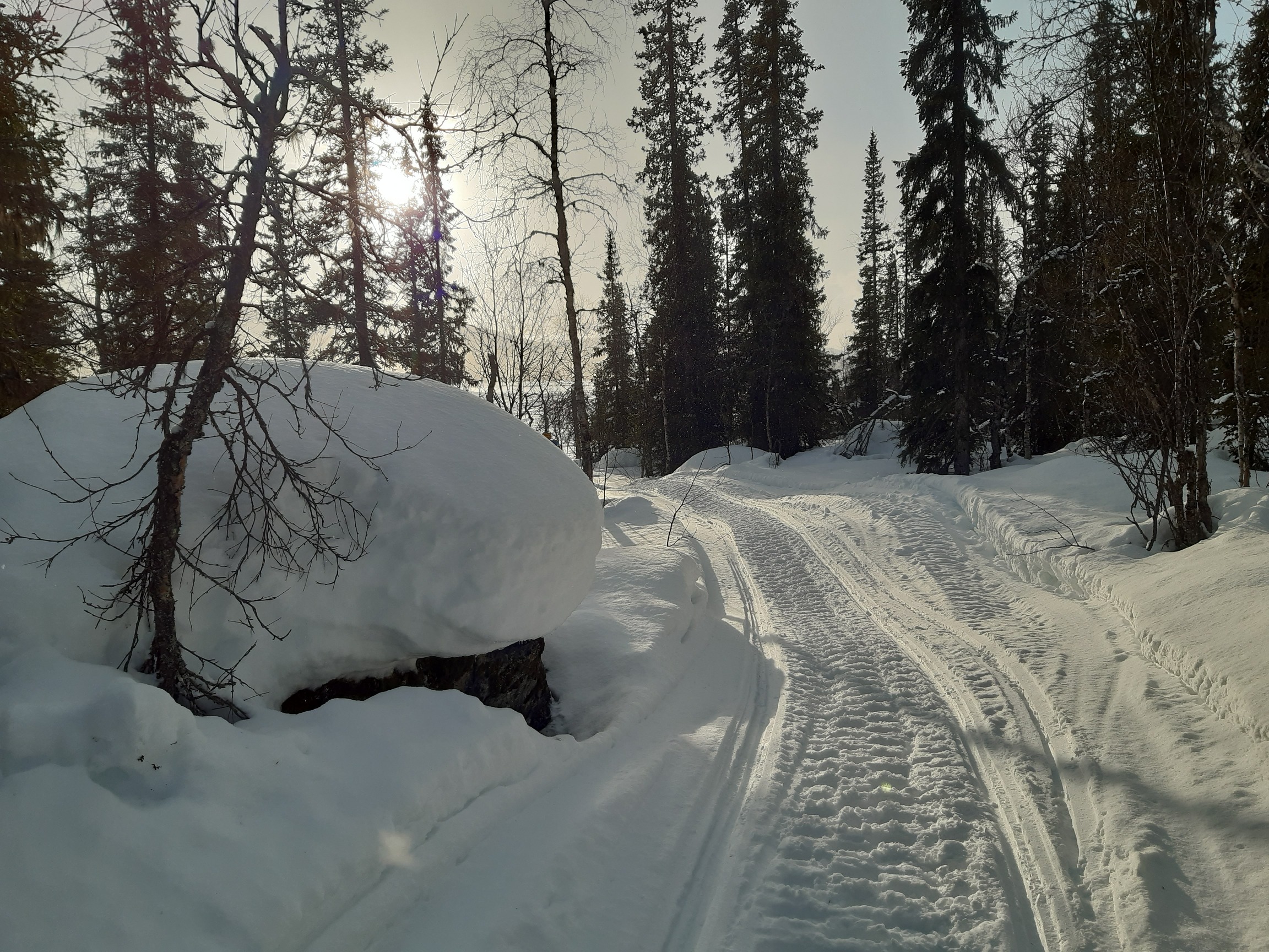
...because with this kind of wind the trail sure won't stick around! An hour later:
Towards the afternoon I reached a kind of crossroads, with Kungsleden leading west to Kvikkjokk and a snowmobile trail leading south over the ridge in Kabla National Park. Without a trail, it would have been nearly impossible to climb through the forest and reach the open areas and strong crust above. With this snowmobile trail, however, I felt I could still have a bit of fun instead of going straight to Kvikkjokk, which I knew now I could easily reach in time to catch my bus back. So I climbed south along the trail, leaving behind Kungsleden, and camped deep in the forest of pinewood that covers the slopes both north and south of the valley of Tjaktjavrre like a several-day-old bristle waiting to be shaved off by an avalanche. I heroically trampled another platform, occasionally sinking to my waist but persevering until I could walk around the camp without collapsing trough the snow. And so to bed.
Day 9: Kabla NP
Encouraged by the blue sky at sunrise, I decamped early and continued climbing along the snowmobile trail. And - of course - the moment I climbed above treeline the sun hid behind the clouds, the trail disappeared in the snowy wasteland, and the next two hours were spent in the midst of yet another snowstorm. The wind forced me to walk - skiing became impossible. Most of my time and energy was spent trying to locate the signs marking the trail every 100 m or so - the snow was so thick that I could seldom see from one cross to the next one.
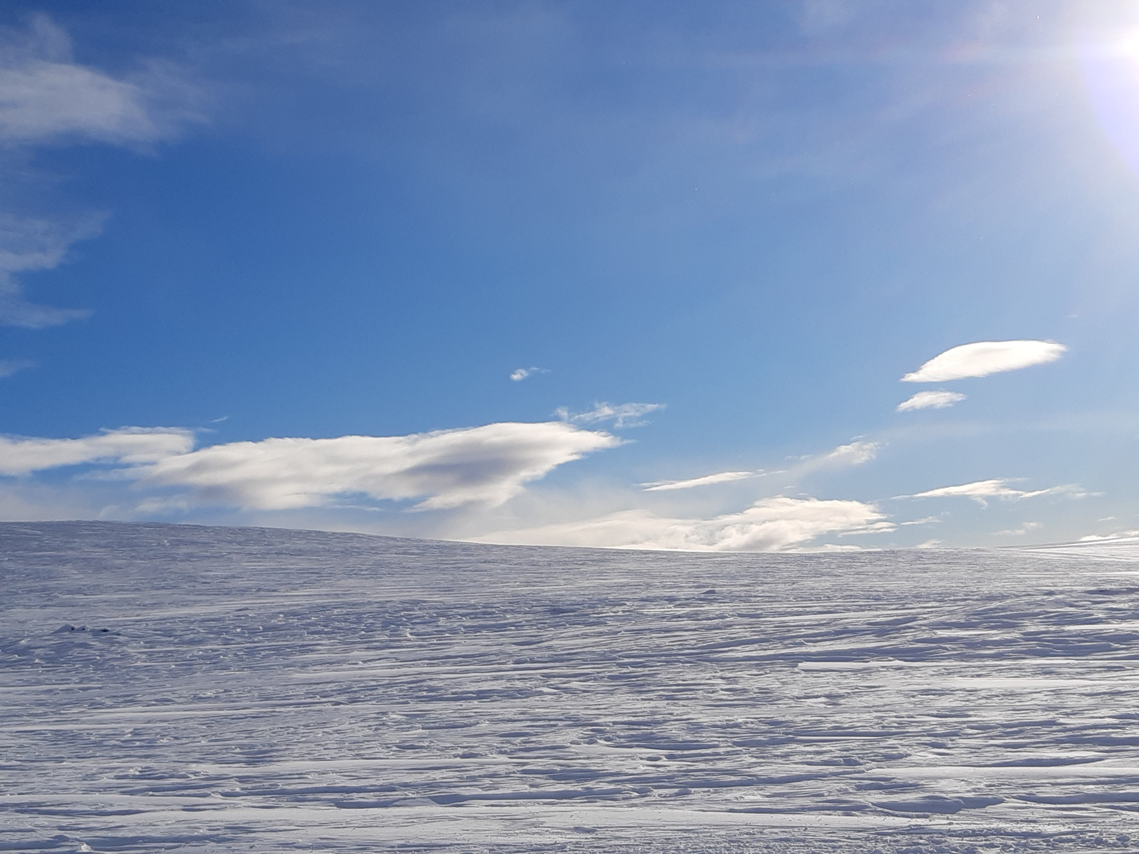
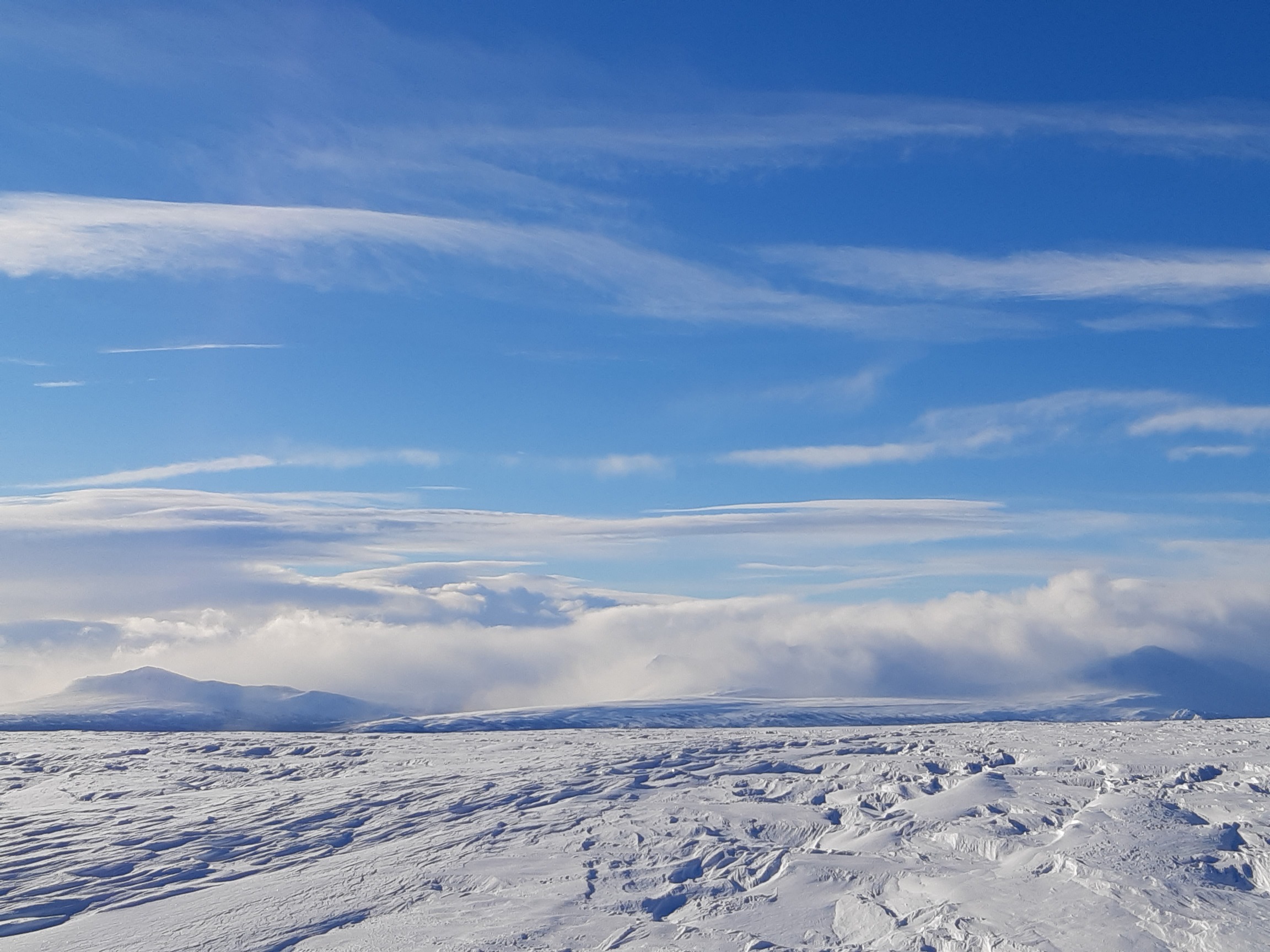
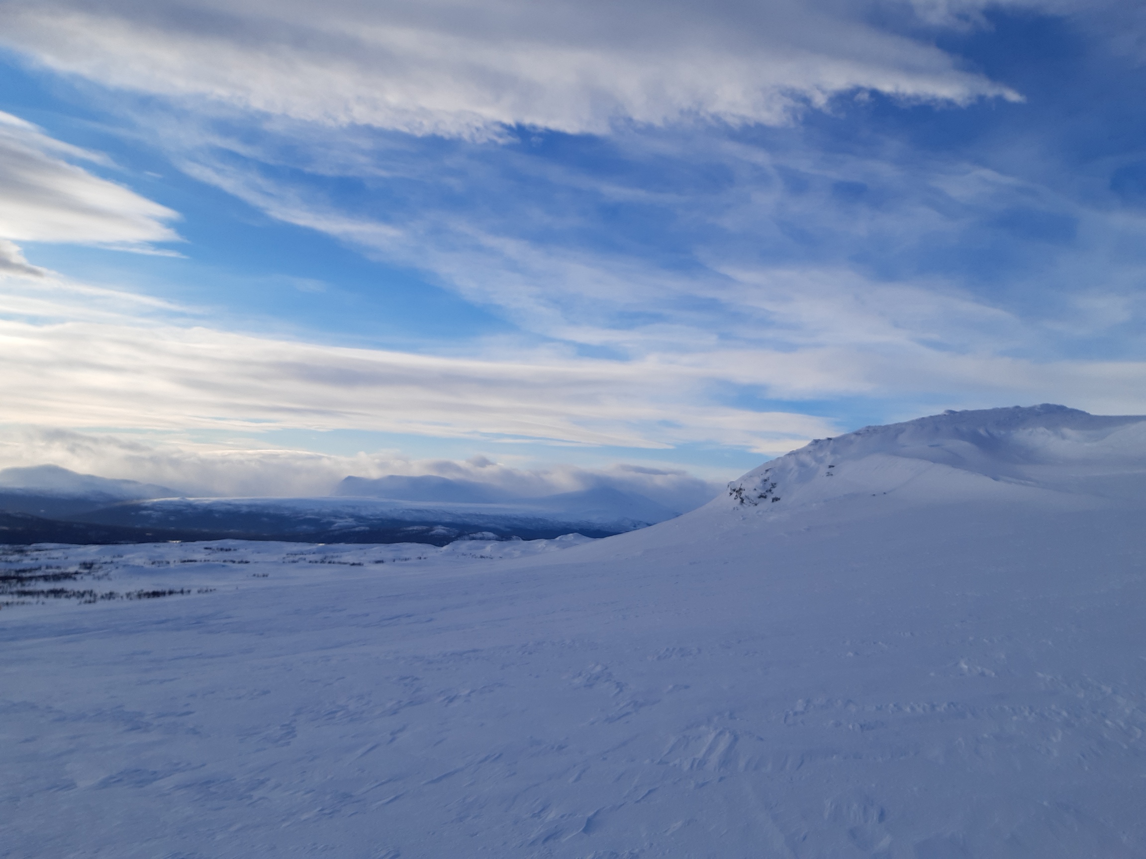
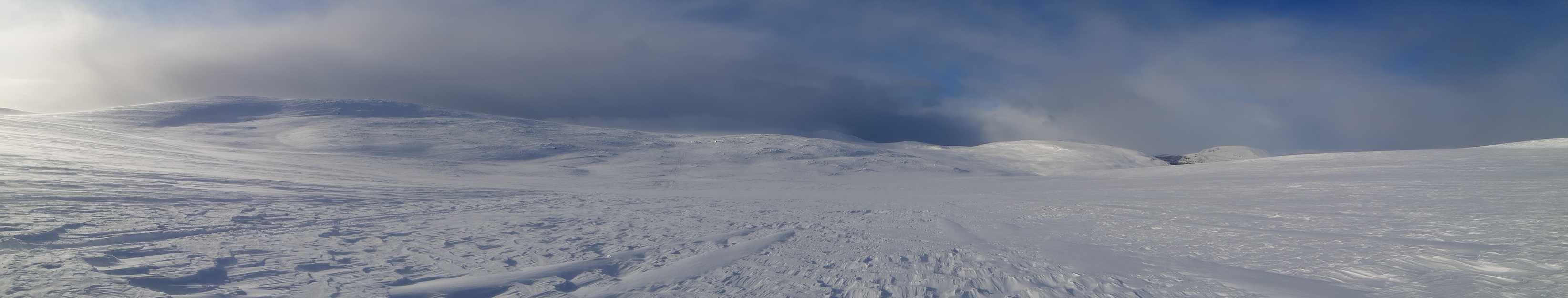
But then, just as I was nearing the top at about 1100 m, my luck finally turned - it stopped snowing, the sun came out again, and the afternoon was just lovely, exactly what a winter hike should be! I followed the ridge west towards Kvikkjokk at leisure, exploring and snapping pictures:


Although the weather was good, I decided to dig a snow cave, mostly just to practice and have a bit of fun. It was easy to find a downwind slope with a deep, soft drift, and it took me just 50 min to dig a very sizable and eminently livable snow cave:
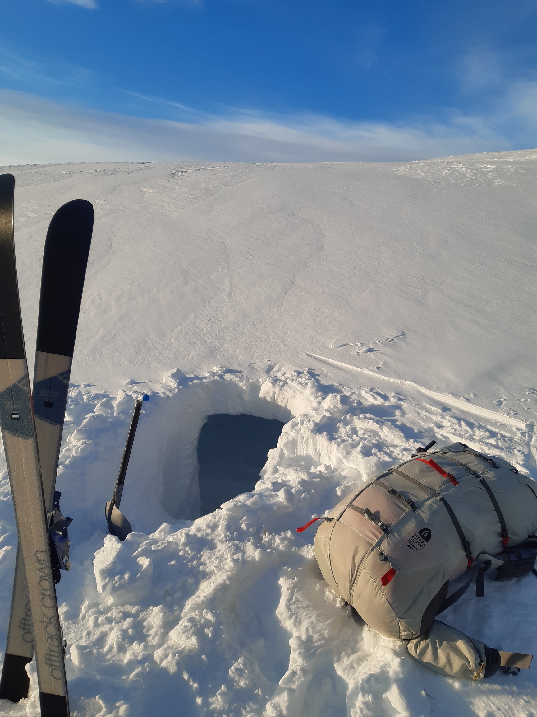
I then placed skis on top, piled blocks of snow over them, sealed most of the entrance with a vertical wall of snow blocks, crept in, and closed the passage behind myself with a few more blocks - la voila! A warm, cozy home for the night. Love snow caves.
Day 10: Down to Kvikkjokk
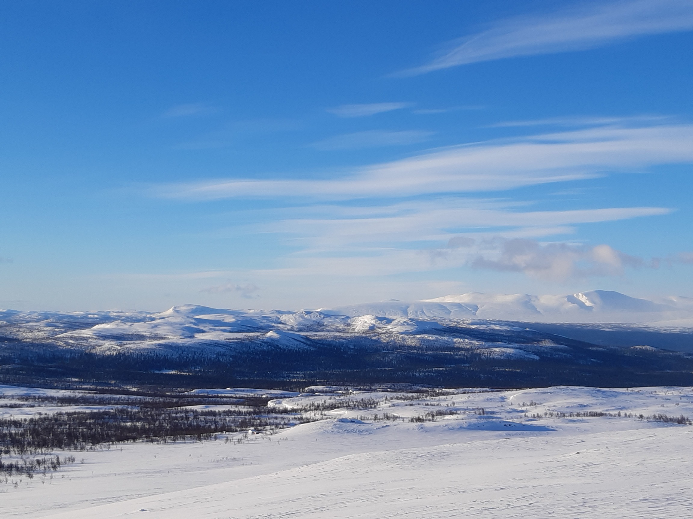
The morning dawned a bit colder (felt like about -10°) and sunny, so I had no problems with navigation, which was fortunate because I had to find a good way to descend back to Kungsleden. I chose the route so as to minimize the distance I had to travel off-trail below treeline, aiming for lake Stuor Dahta and enjoying the views:
The sunny weather helped enormously: I had no trouble finding a good route and even managed to ski through the forest without too much trouble - going downhill through deep snow is a lot easier than going uphill (especially without poles), and my skiing setup is really ideal for descending off-trail. The S-bounds float through the powder like magic, turn around trees, and generally just feel like they are not about to break no matter how hard I drive them. By 10 am I was already back on Kungsleden without so much as a single fall, yeah :))


The final downhill stretch to Kvikkjokk barely counts because of the great number of snowmobiles passing through and perfecting the trail. I took it very easy indeed and was still there before 2 pm.

After wandering around and exploring a bit, I found a good spot for a camp, pitched my tarp, and - my bravest deed on this hike - took a quick bath in the snow. Next morning before dawn, at 5:25 am, I caught my bus to Jokkmokk - and was the only passenger on the entire, full-size long-distance bus. Truly, this corona year is special. Well, maybe I'll be back another year, and maybe I'll finally make it into Sarek. But until then, mischief managed.
PS
A quick impression of some of the encountered conditions and my reflections thereupon (not to be taken too seriously, and remember I could only film on easy slopes and with decent visibility):
PPS
According to my wife, it took a week of daily showers for my stench to finally drop below detection threshold. VBL socks, anyone?