Padjelanta
When
Mar 20 - Apr 1, 12 days of skiing.
Where
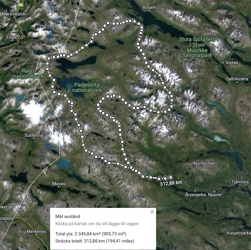
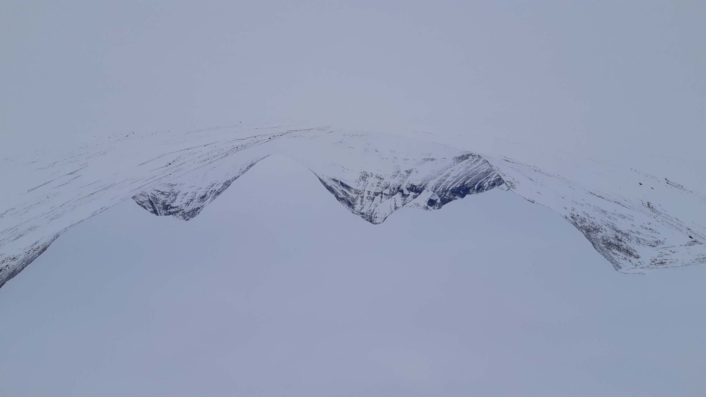
A closed loop around Kvikkjokk, mostly through Padjelanta and Sarek national parks, ~310 km. The objective for this trip was to maximize the distance traveled. Given the limited visibility, I mostly avoided steep terrain and stuck to plateaus (in Padjelanta) and valleys (in Sarek).
Weather
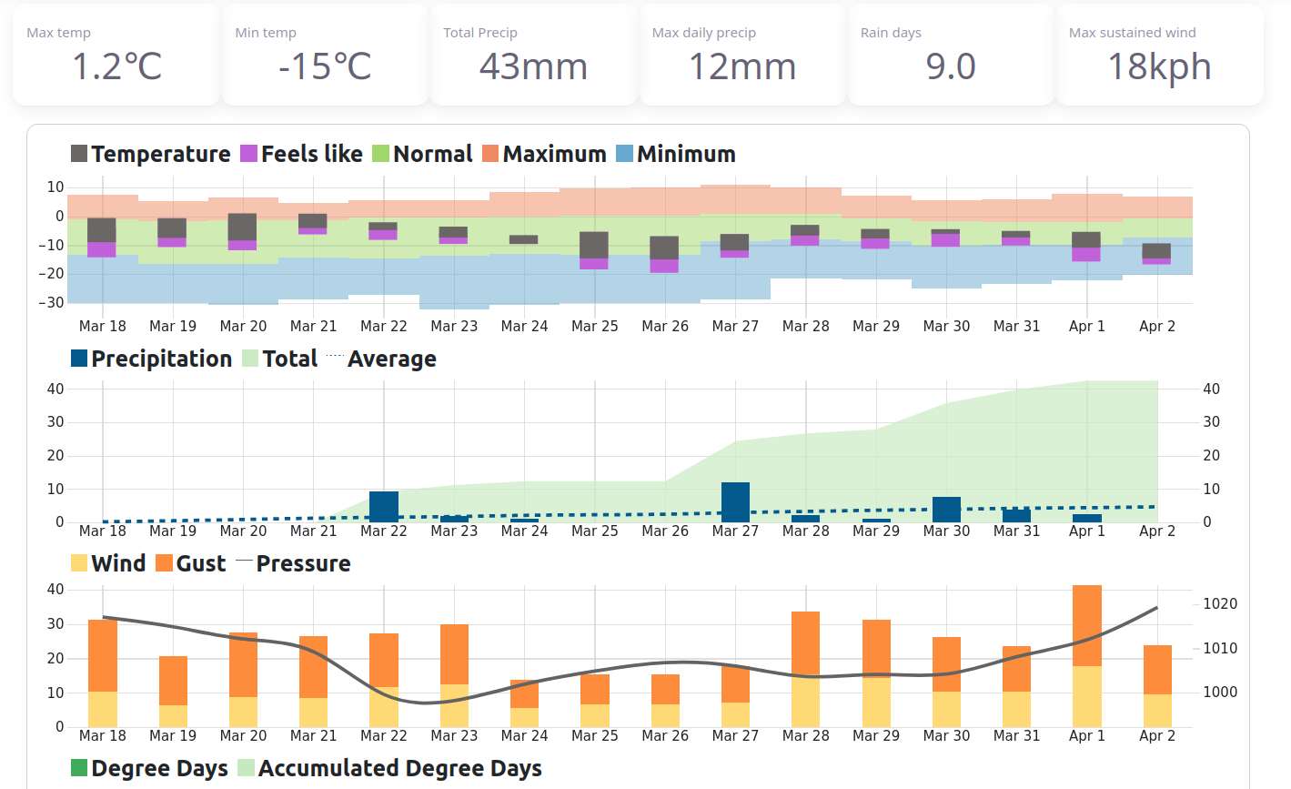
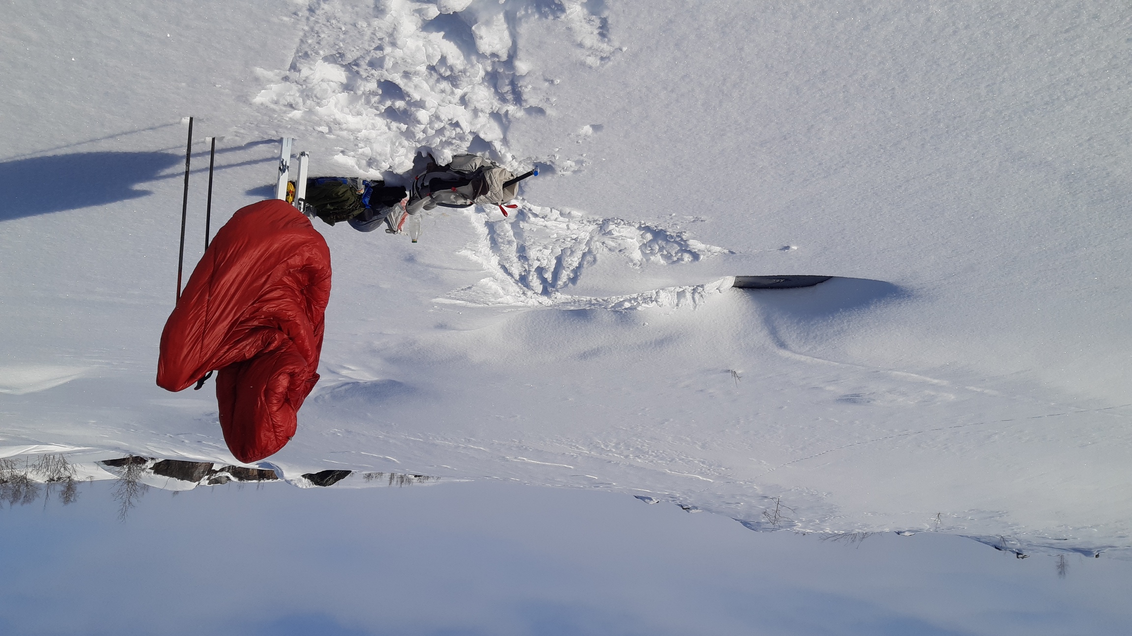
So-so. On the bright side, it was relatively warm (0 to -15°C, usually around -5°C), and I did have a few hours of sunshine now and then the first week. Unfortunately, it also snowed practically every day, and the second week was really all snowing-and-blowing. The snow conditions were very variable, from bottomless powder in the valleys to bare rocky plateaus where there was no snow left to ski, so I actually had to walk on foot a few times. An unexpected boon was the availability of liquid water: I found some unfrozen waterhole every other day or so. Weather data for Kvikkjokk from visualcrossing.com:
Trail: there is a lot of snowmobile traffic in the immediate vicinity of Kvikkjokk. Further afield, Padjelantaleden is fairly popular, so there is a good chance of finding somebody's tracks (although they do disappear very quickly due to strong winds). I even got lucky and found a fresh trail left by a large group in one of the valleys in Sarek, which saved me hours. Higher up, well above timber line, there is usually a decent crust, so trails are less crucial.
Equipment
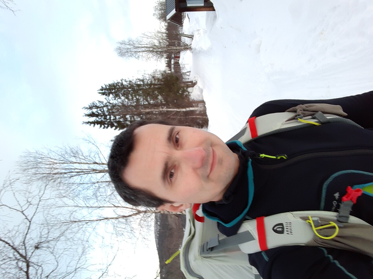
8.5 kg base weight + 9 kg of food and fuel. I had a completely new, untried skiing setup for this trip. Following my exploits in Norway last year, I realized that it was time to fork my equipment - and ambitions - into alpine touring and nordic touring. Besides, I was once again without boots after my Fischer BCX disintegrated last year in Jotunheimen, after just two trips and 400 km. So, my trusty Fischer S-bound skis were set aside for future AT trips, while I cobbled together a much lighter setup for distance-oriented touring:
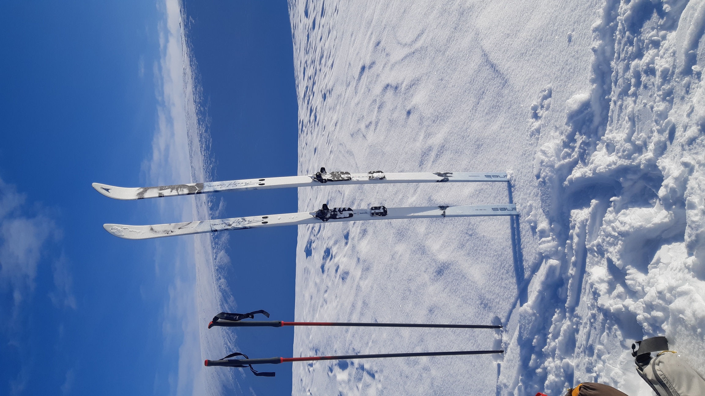
I really can't fault this combination. The skis are maybe a shade less maneuvrerable on steep slopes and in deep snow compared to S-bounds, but vastly lighter and better for kick-and-glide traveling on the flats. They basically behave nearly as well as narrow cross-country skis on groomed trails, yet also nearly as well as really broad skis off trail. The Xplore bindings feel about as stable on descents as 3-pins with cables (and they even come complete with heel risers), but weigh a mere 400 g per pair. I used both short Asnes X-skins and full-length skins, which are not really essential for non-AT trips but very helpful on really steep and long climbs.
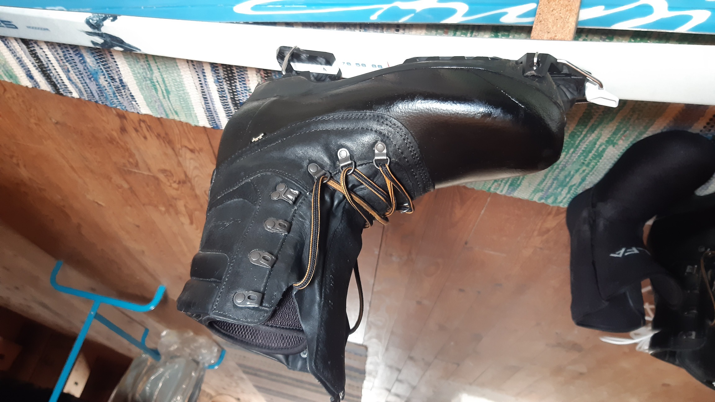
But the real gem was the boots - this is where I got really clever, if I say so myself. Can we have the benefits of stiff plastic boots with removable, waterproof liners, but avoid the horrors of squeezed feet and pressure points? Yes, indeed! My solution is Lundhags Abisko Expedition boots coupled with Intuition closed-cell foam liners. So: we buy oversized Lundhags, which are just stiff leather shells with removable felt liners, throw away the original liners, and put in Intuitions instead (I took Alfa Polar). This is nearly as warm as the legendary (and prohibitively expensive) Alfa polar boots, but much stiffer and therefore more suitable for variable terrain, especially when coupled with Xplore bindings. At the same time, this is leather, not plastic - so no pressure points and no foot torture on long trips! In sum, in one fell swoop, we get efficient and comfortable kick-and-glide performance, very respectable control on the slopes, and extremely warm boots whose insulation never, ever wets out or freezes solid. Wow.
A couple of other technical tips of the day. I cut my fuel consumption by half on this trip, from ~40 g/day to 20 g/day. Obviously, lucky finds of unfrozen creeks helped, but another trick was to warm up the gas canister overnight in the sleeping bag and to keep it well insulated from the snow during cooking. I put it upside down on a bag of food, which should also prevent the propane from evaporating and burning out before the isobutane. I was also really sold on using a ferro rod fire starter instead of a lighter - it takes some getting used to, but performance in wet conditions is superb - no more rubbing my thumb raw trying to wheedle a spark out of a soaked, half-rusted BIC lighter. For more details on the equipment and food used on this trip, see spreadsheet.html.
Logistics
Various local trains and buses to Kvikkjokk and back again. Terrible, terrible, terrible... Judging by the nearly empty buses and the huge number of cars at the parking lot, most people have realized the problem by now.
Maps
Paper map: Calazo Sarek & Padjelanta, 1 km. Offline maps on the phone via Oruxmaps. Online topographic maps here.
Days 0-6: Kvikkjokk to Ahkka / Ritsem
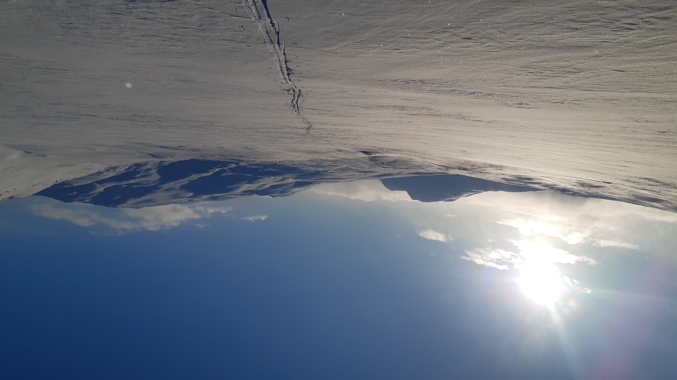
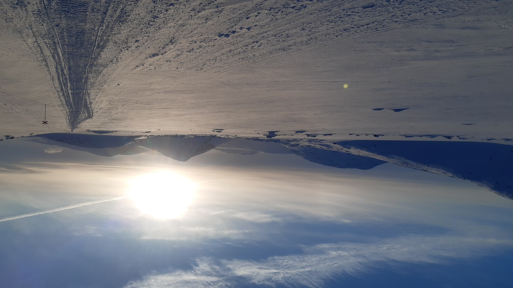
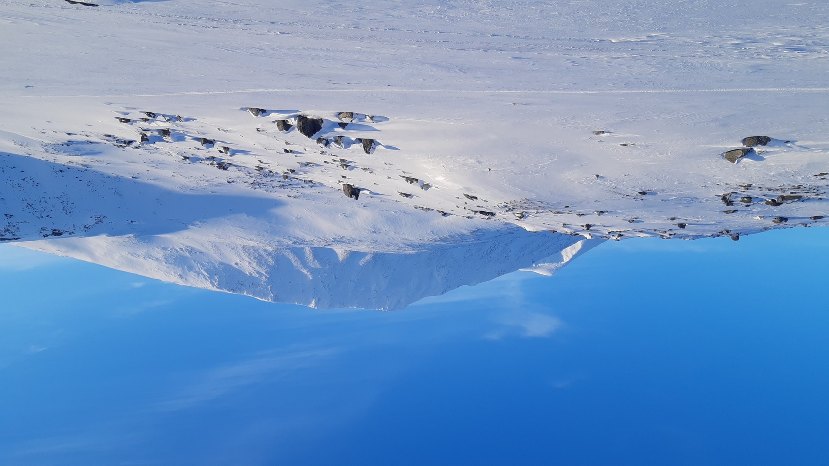
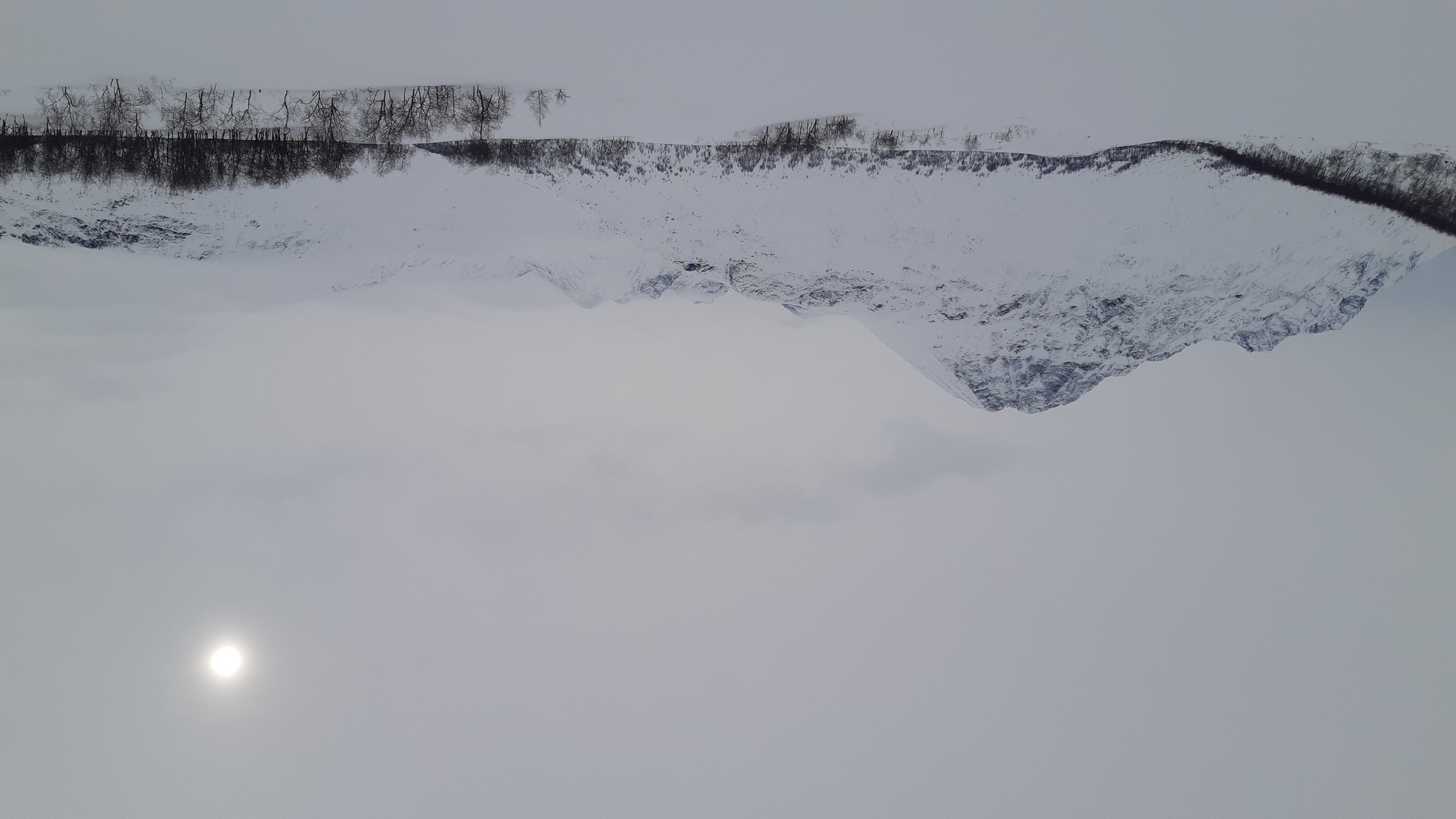
Whenever I finally hop off the last train or bus on the way to the trailhead, my immediate and overwhelming desire is to flee into the distance, leaving the last houses and people behind me as soon as possible. Wax the skis, adjust the clothes, stuff the last loose bits and peaces of string and food into pockets - and off into the wild! Having said that, Kvikkjokk is a very quiet and actually quite charming village, and there wasn't much social pressure on me that afternoon as I happened to be the only passenger on the bus. Checking for lookers-on over my shoulder out of pure habit, I quickly skied off into a glorious early-spring evening, sunny and crisp, with the temperature sinking with the sun, and a moon slowly rising behind me in a glorious, mixed solar-lunar twilight. An hour or two later I felt thoroughly at home, alone in the woods and speeding west along snowmobile trails that mark Padjelantaleden.
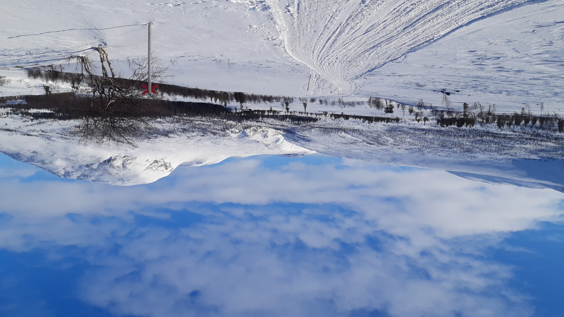
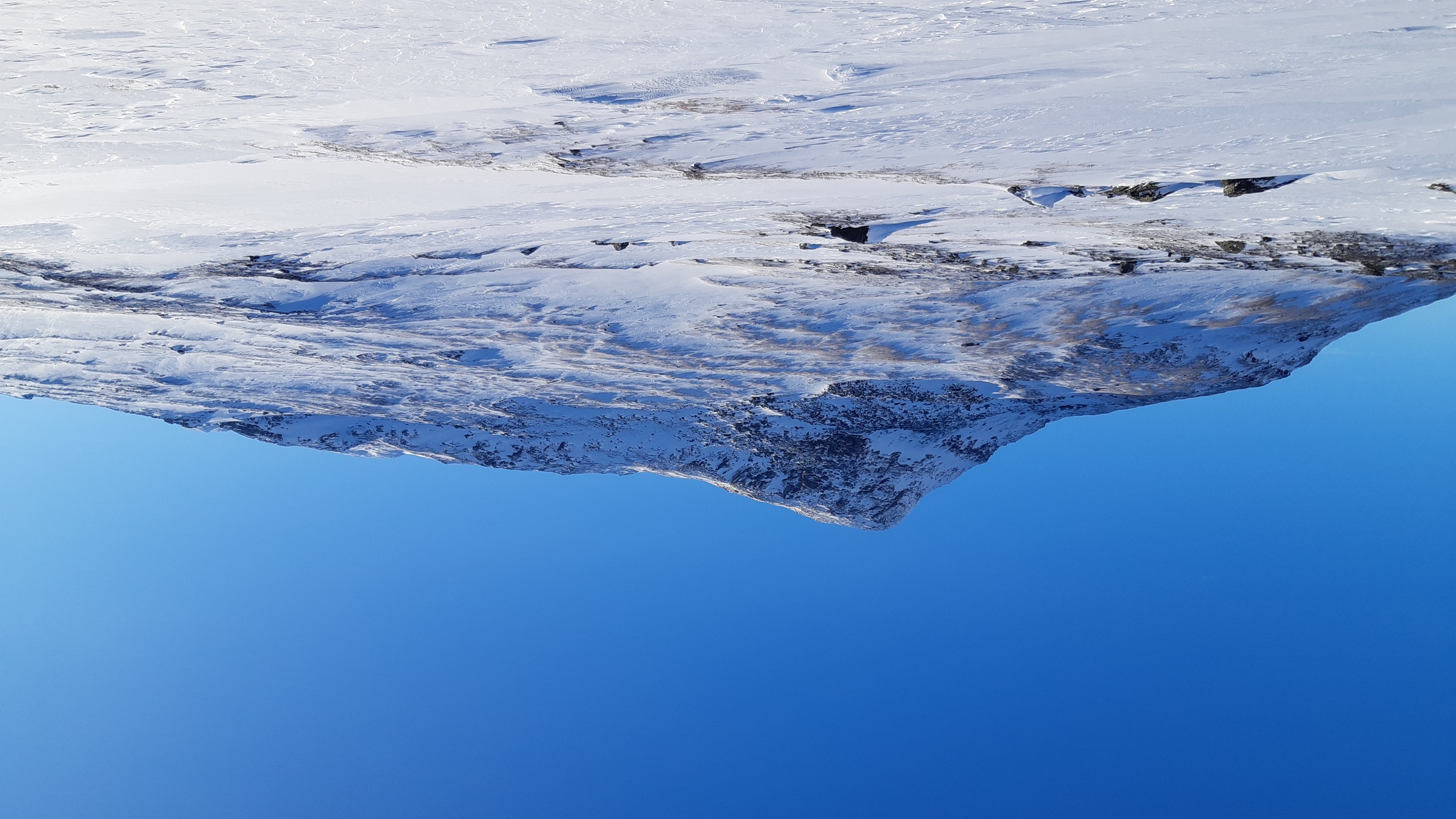
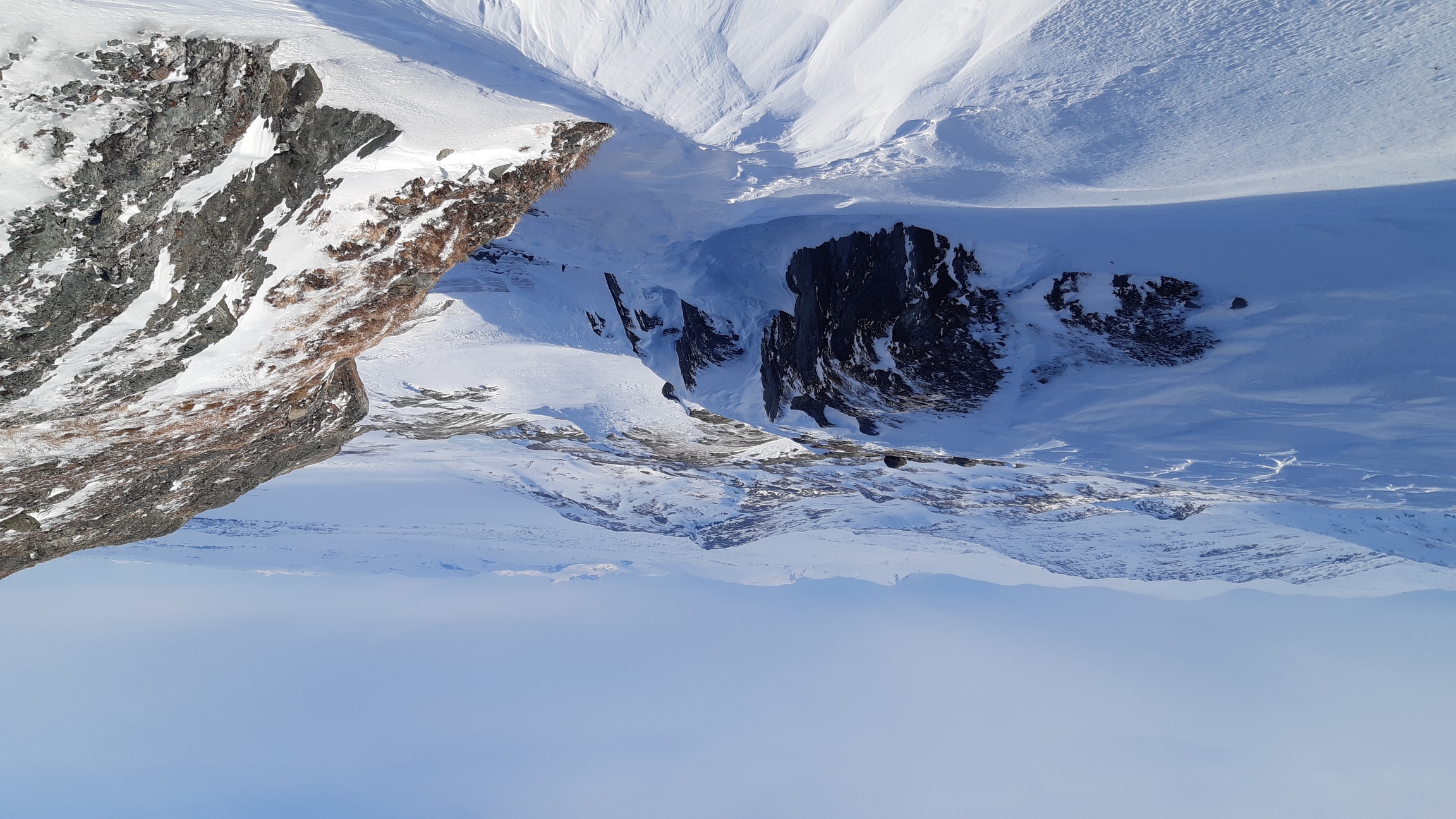
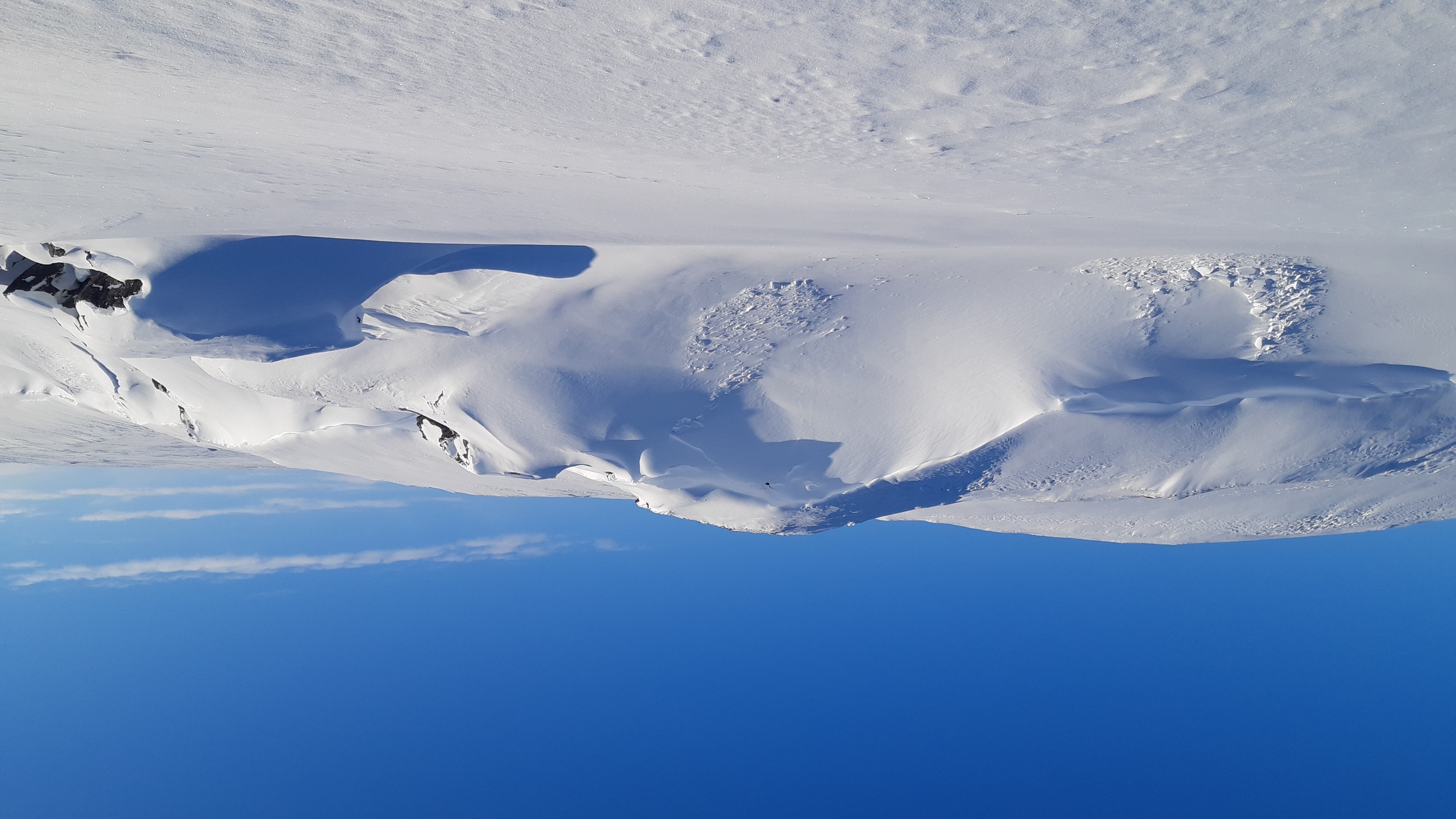
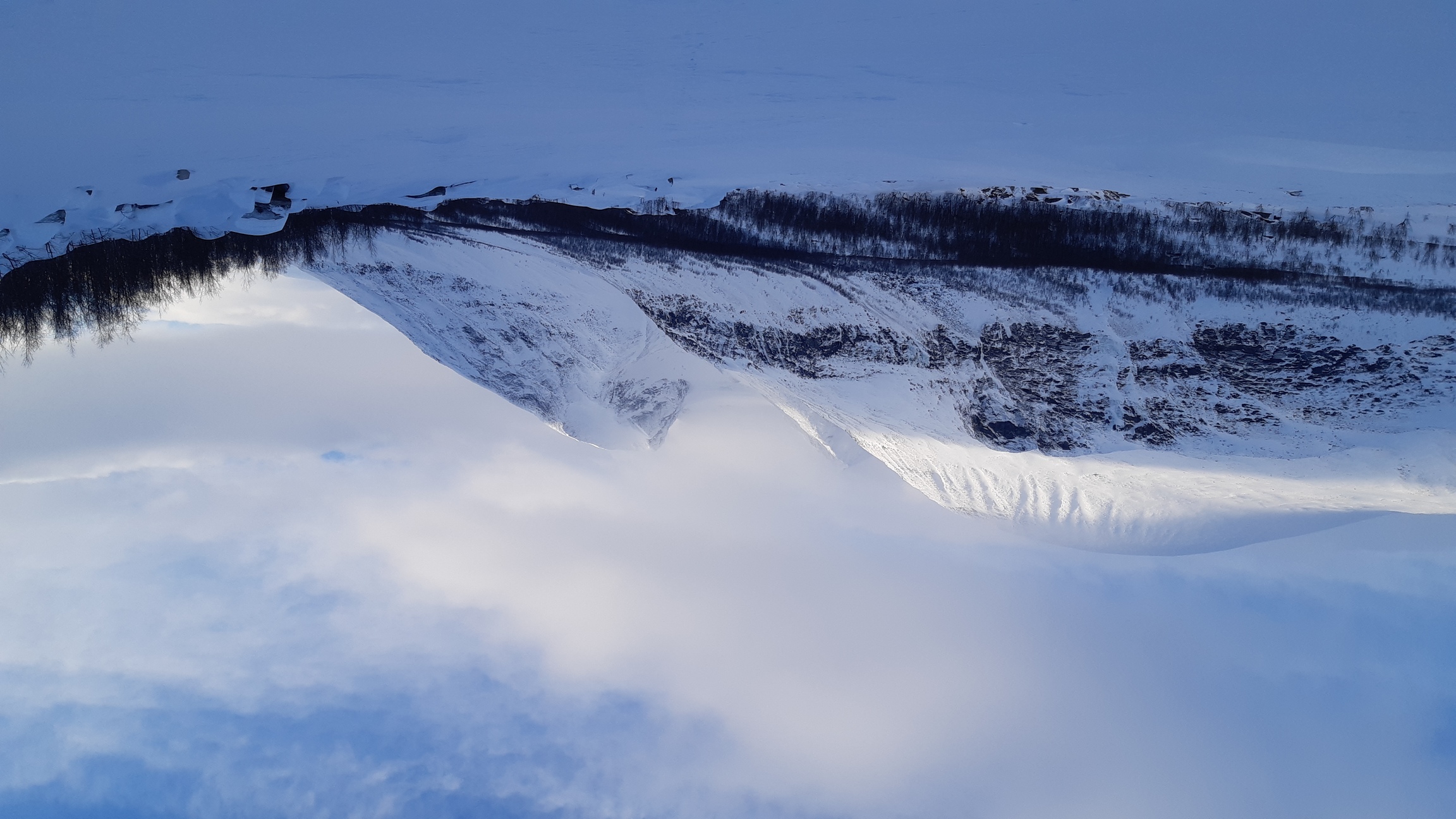
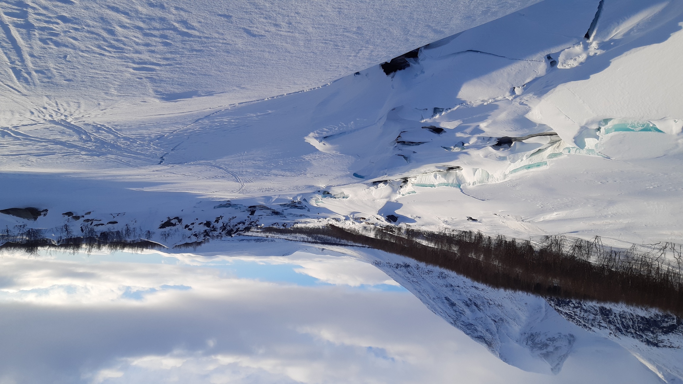
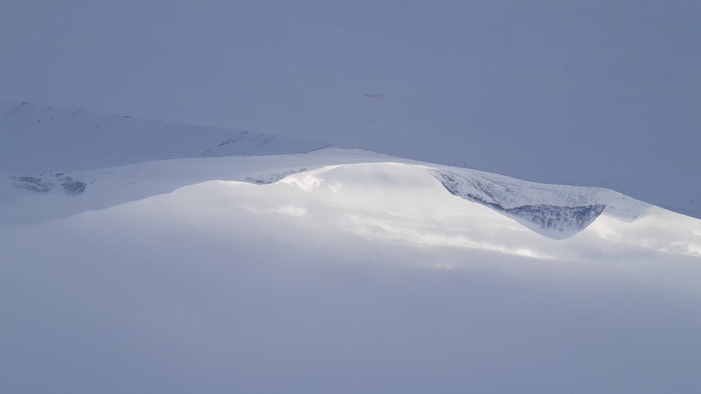
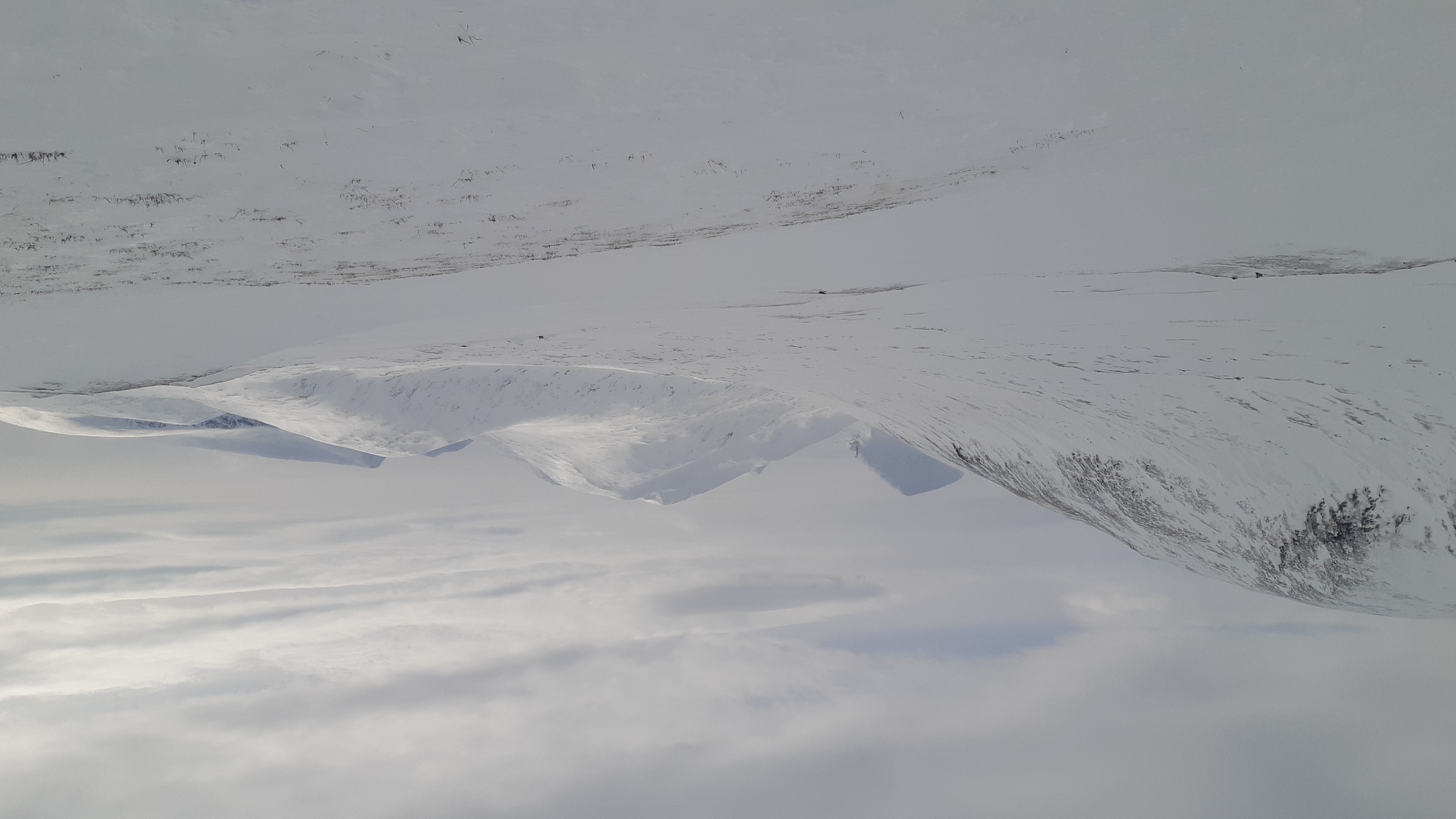
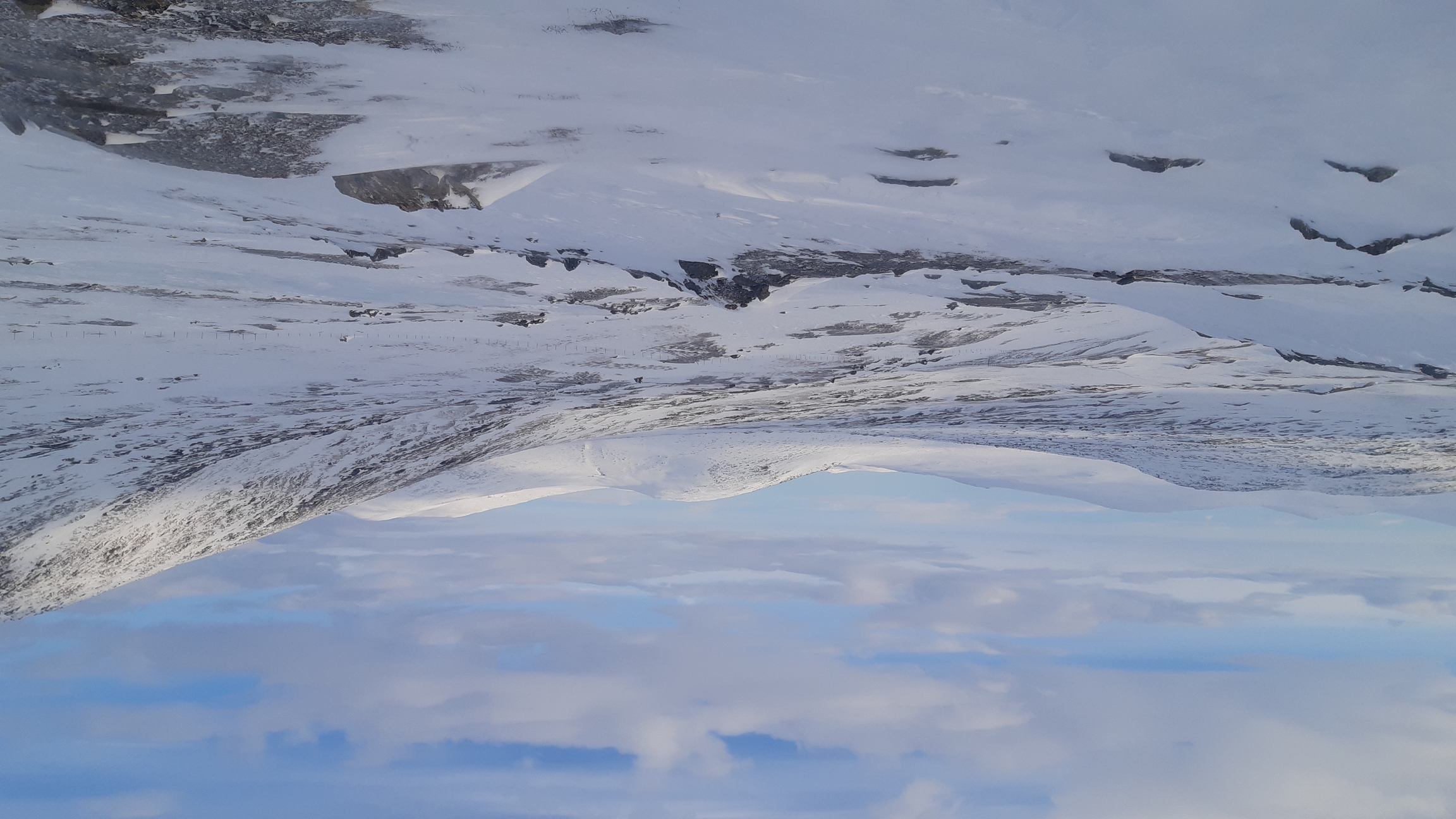
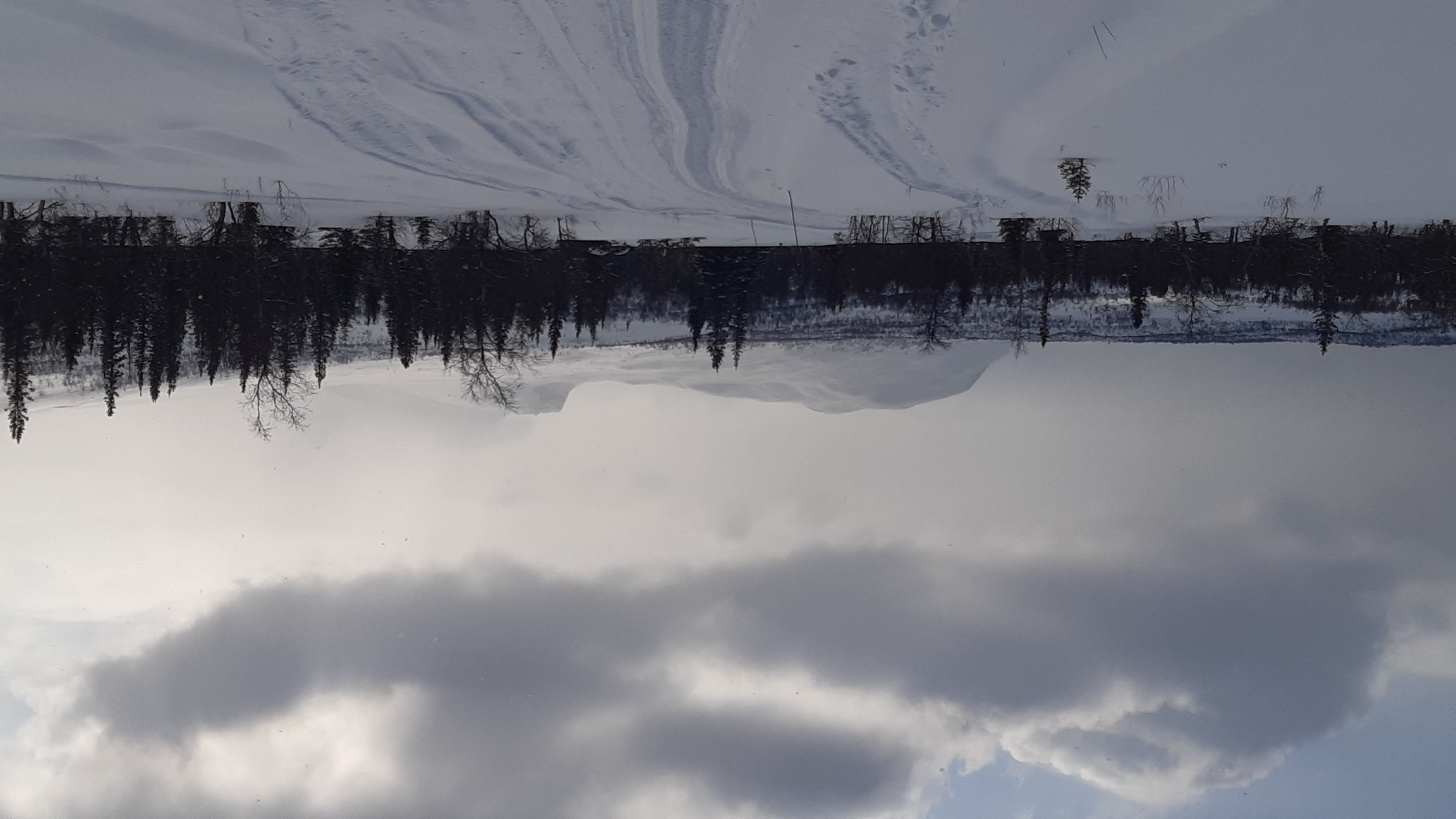
And, basically, the next two weeks were spent skiing through that solitude, with very few people encountered on the way. I skied west toward the Norwegian border first, following Padjelantaleden (with trail), then Nordkanottleden (without any trail), then into even wilder lands west of the two huge lakes in Padjelanta, then finally east and away from the border, towards Ritsem. The stretch west of the big lakes (Virihaure and Vastenjaure) is wild indeed. Reindeer herders visit it sometimes, but I don't think many tourists come this way either from Norway in the west (Sulitelma and Rago national parks) or from Sweden in the east (Padjelanta). Snow conditions were reasonable, and I made fairly rapid progress even after going off-trail on the second day. The next time I saw any people and trails was on day 6, as I emerged onto the enormous lake of Ahkajavrre right in from of Ritsem on the far shore.
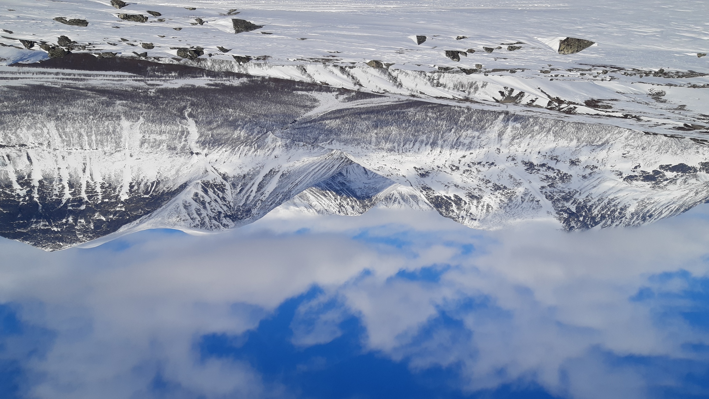
Days 7-12 Ahkka to Kvikkjokk
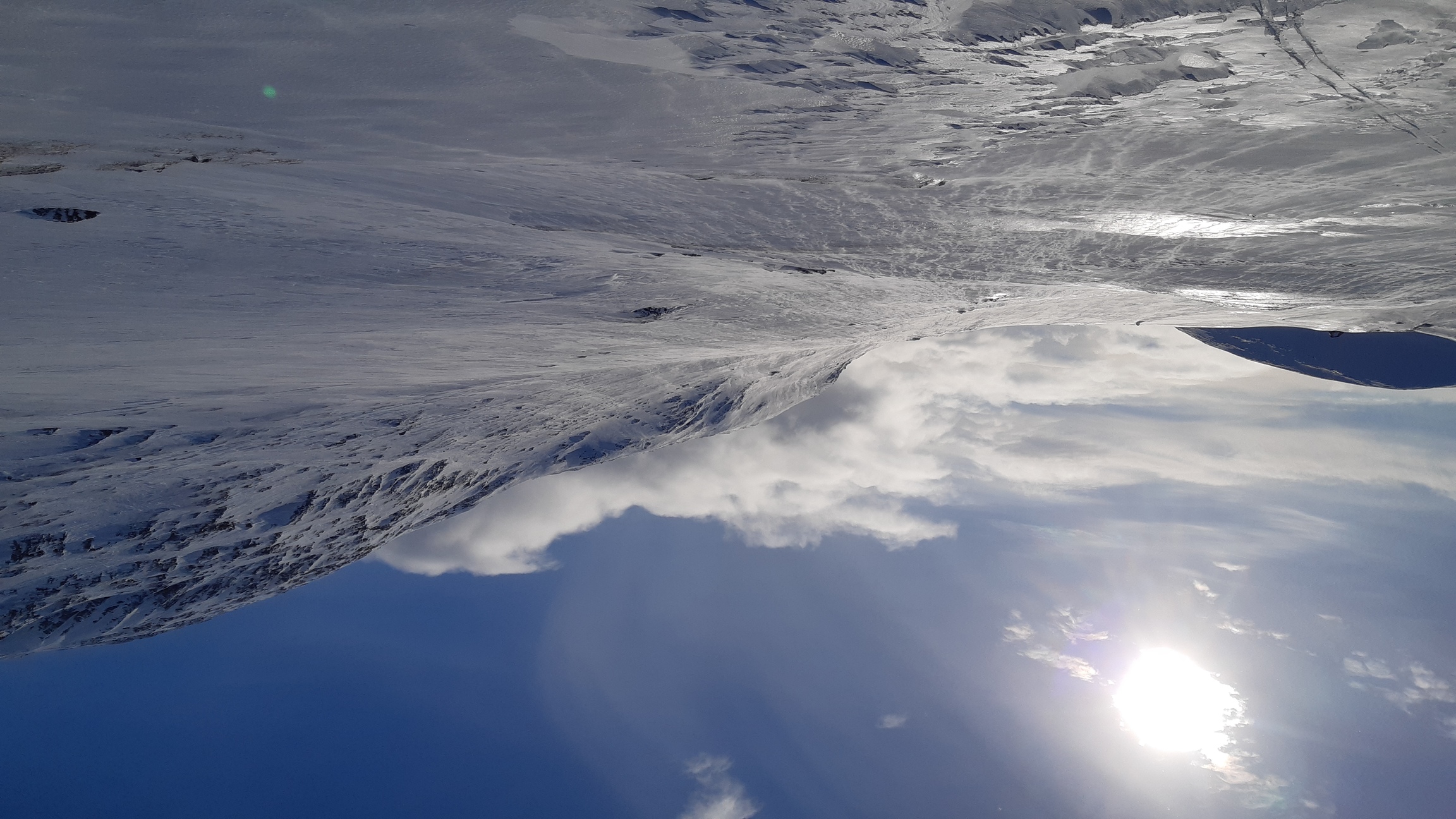
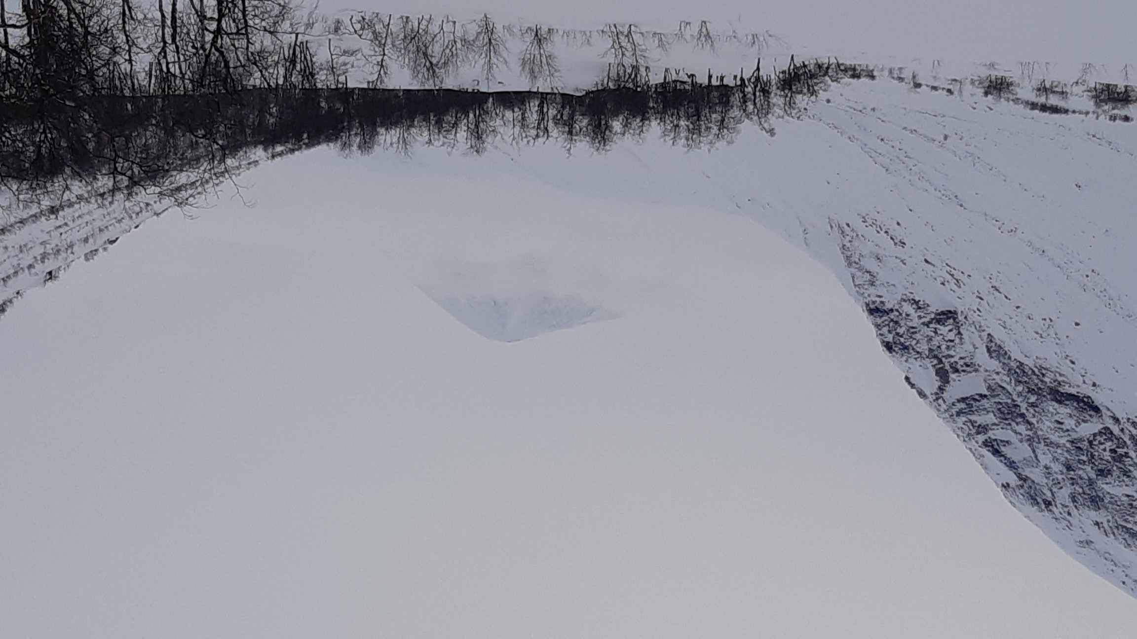
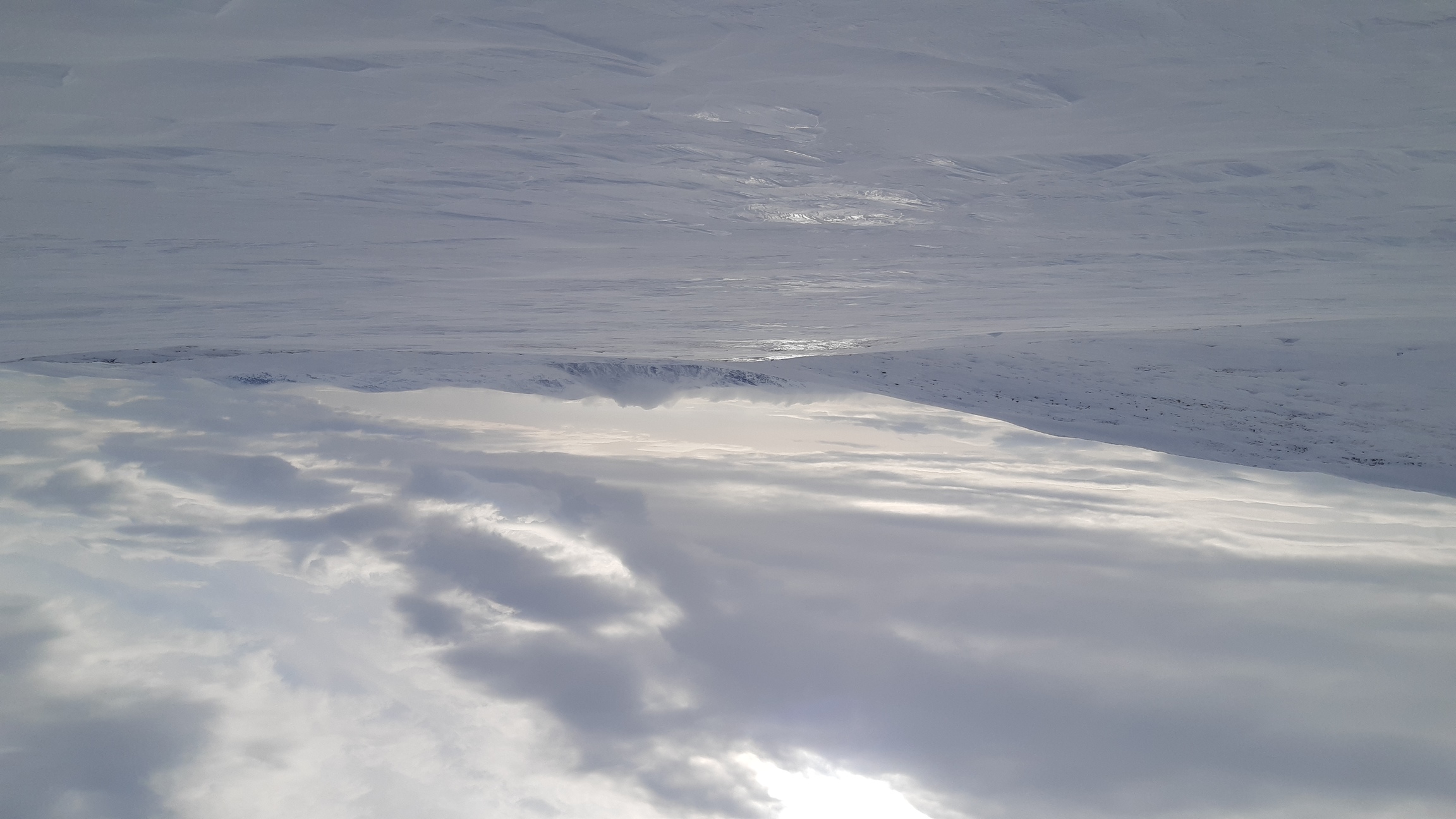
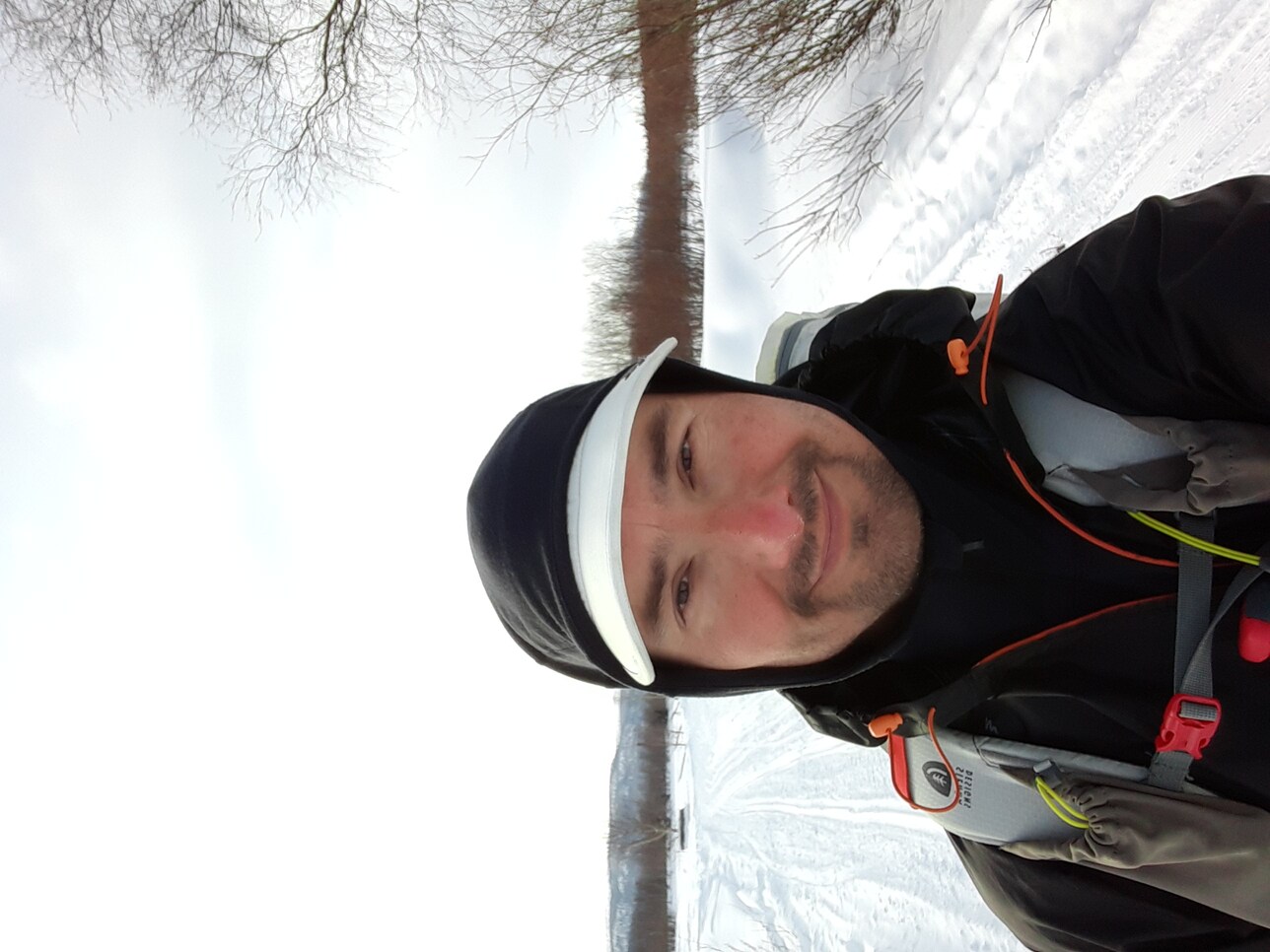
The plan for the second half of the journey was to wind my way down to Kvikkjokk through Sarek, hopefully catching a sunny day or two to climb something. But the weather, which was up-and-down the first six days, with both snowing and some hours of sunshine every day, deteriorated and stayed bad until the end of the trip. No more sun, plenty of strong winds, and precipitation with low visibility made it impossible to leave the valleys. I ended up zig-zagging around and even back into Padjelanta. With the wind reaching perhaps a steady 10-15 m/s and the snow rapidly disappearing from exposed slopes, it became tricky to find enough snow to keep skiing, and then to find a sheltered place to camp. Even in the most wind-sheltered nooks and crannies, I had to build snow walls around the tent and brace it with everything I had, and still the drifting snow sometimes broke in through some tiny chink, wetting my sleeping bag.
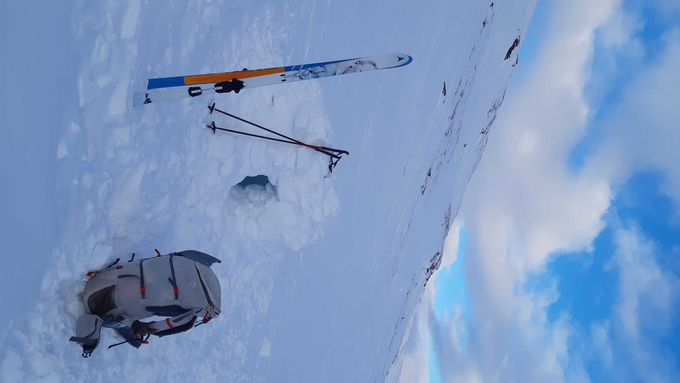
One afternoon the wind was so fierce that I called it a day early and decided to dig a snow cave, only to discover that I couldn't find enough snow! However, every challenge is also an opportunity. I found the deepest drift I could, dug a trench about 1 m deep (all the way to the ground), and then had a lot of fun getting creative with snow blocks until I had a sort of half-igloo with a proper roof on top of that. Fortunately, strong winds create a thick, sturdy crust that is perfect for cutting snow blocks. As usual, the night in the snow shelter was supremely calm and comfortable. In fact, this calm is beguiling: I couldn't believe that it was still "wuthering" out there and was astonished by the blasts that greeted me when I finally emerged from my den the next morning.
 |
 |